2010 TRIP TO COSTA RICA AND SOUTH AMERICA
This trip was from January 11th to March 31st, 2010. On January 11th, 2010 we left for
Costa Rica and went on a tour by Caravan, see www.Caravan.com. We highly recommend Caravan as
they are reasonably priced for a tour and do a good job. The tour lasted for 10 days and then we
flew to Santiago, Chile on January 22, 2010. We toured Northern Chile, Peru, Bolivia, Paraguay,
Brazil, Uruguay and Argentina. We flew back from Santiago, Chile on March 22nd to San Jose,
Costa Rica and toured Baca Del Toro Islands in the Caribbean belonging to Panama and then
returned to San Jose and flew home on March 31st. The total trip was 79 days.
Costa Rica has a comfortable life style, has a decent infastructure, is a neutral country and has
no army. It is often called the green country and has one of the most diverse plant and animal
life in the world; especially for a country that is not very large. The have 850+ species of
birds and the USA has about 500 species. The people call themselves Tico's. Life expenctancy
is 78 years of age and literacy is 96%. Costa Rica has lost favor as a place to live by expat's
as there permanent VISA situation has gotten very tough and they are not doing a lot to improve the
infastructure but the big thing seems to be that everything has gotten very expensive in comparision
to what it has been in the past. However we know several Americans who live there and if you own your property and house
a place to live they say you can live quite cheaply and they like the climate in Guanacastle.
There are times of the year you need air conditioning to be comfortable in this area. The SaN Jose
area is pretty comfortable the year around as well as the Arenal area.
Costa Rica has a similiar problem with illegals from Nicaragua as the the USA has with Mexico.
They have not come up with a solution.
If you want you can read the dailyTRAVELOGUE DIARY you will get a
lot more details on the trip.
E-mail travelogue one sent E-Mail one
E-mail travelogue two sent E-Mail two
E-mail travelogue three sent E-Mail three
E-mail travelogue four sent E-Mail four
E-mail travelogue five sent E-Mail five
E-mail travelogue six sent E-Mail six
E-mail travelogue seven sent E-Mail seven
Double click on thumbnail photo to get a larger picture.

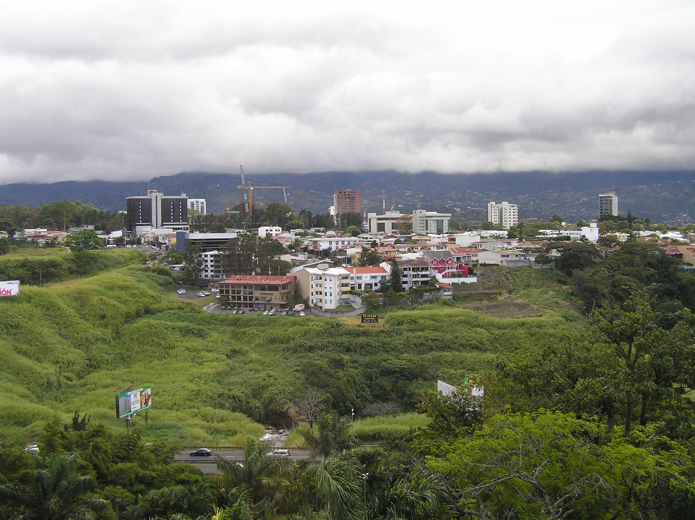
View of san Jose, Costa Rica. The temperature is very pleasant the year
around
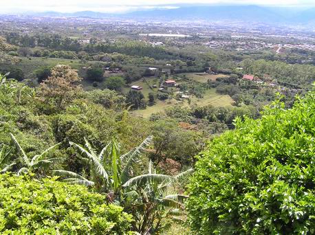
View of the central valley with San Jose in the background.
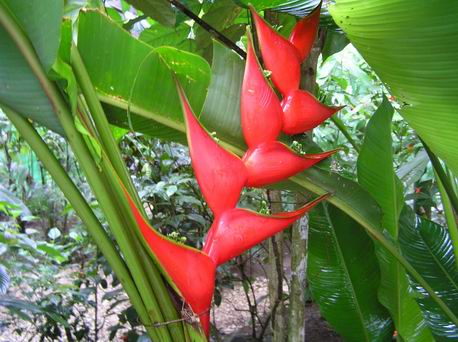
Pretty flower in a banana planting.
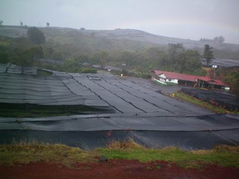
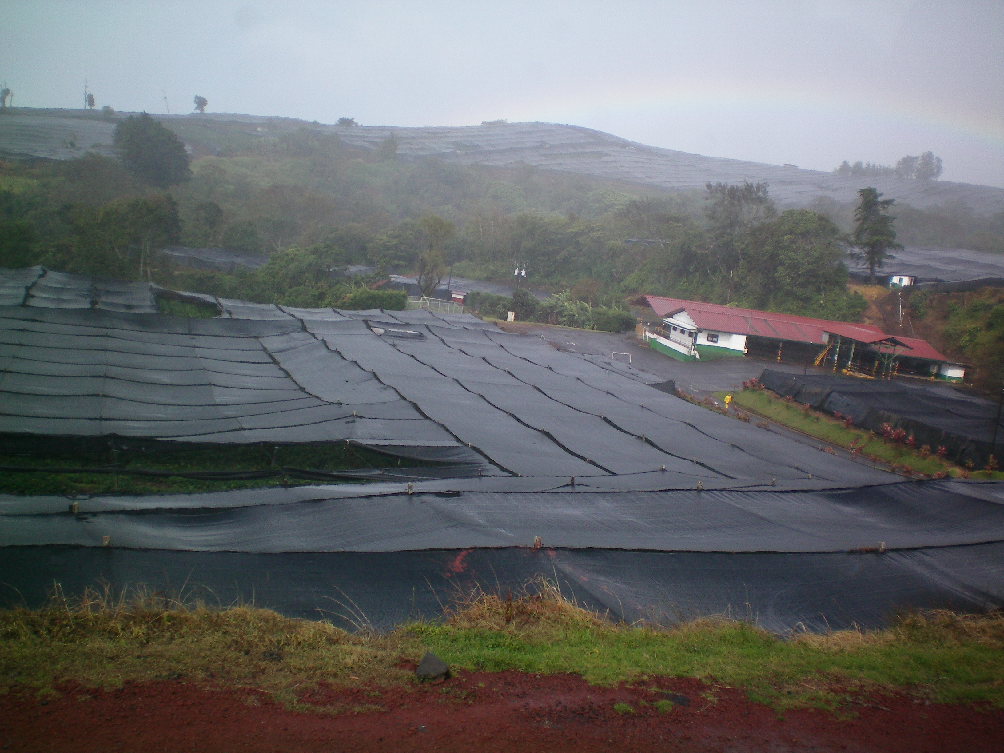
Covered plants such as flowers and garden crops.
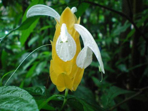
Special flower but we don't know the name.
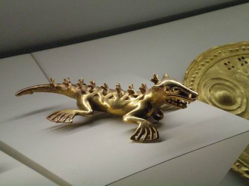
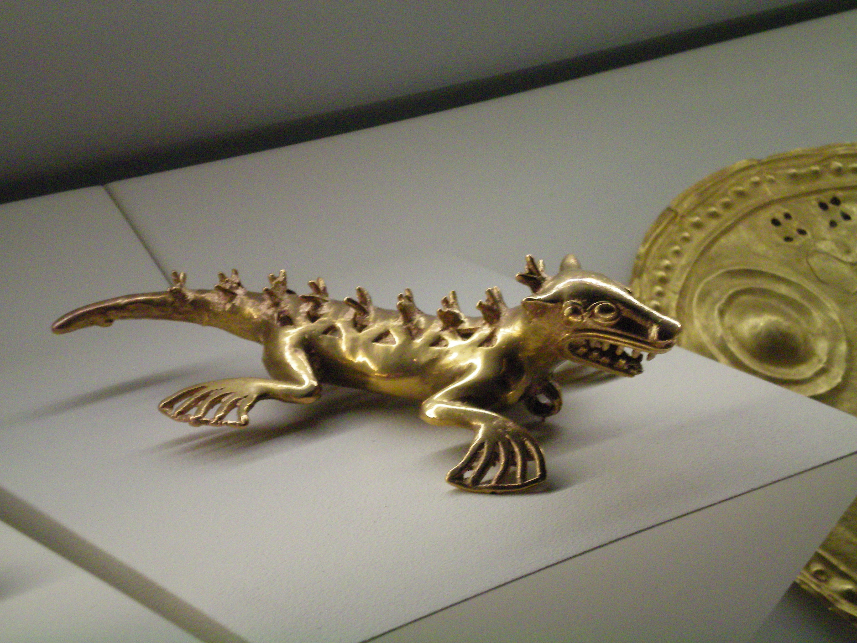
One of many ancient Pre-Columbian gold pieces in the Gold Museum in San Jose.
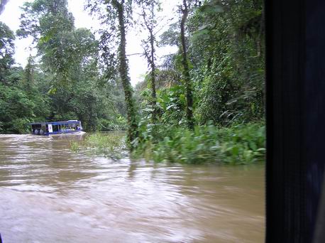
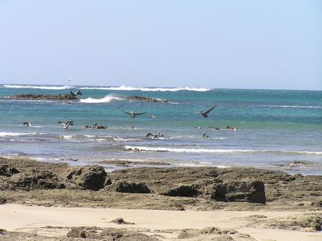
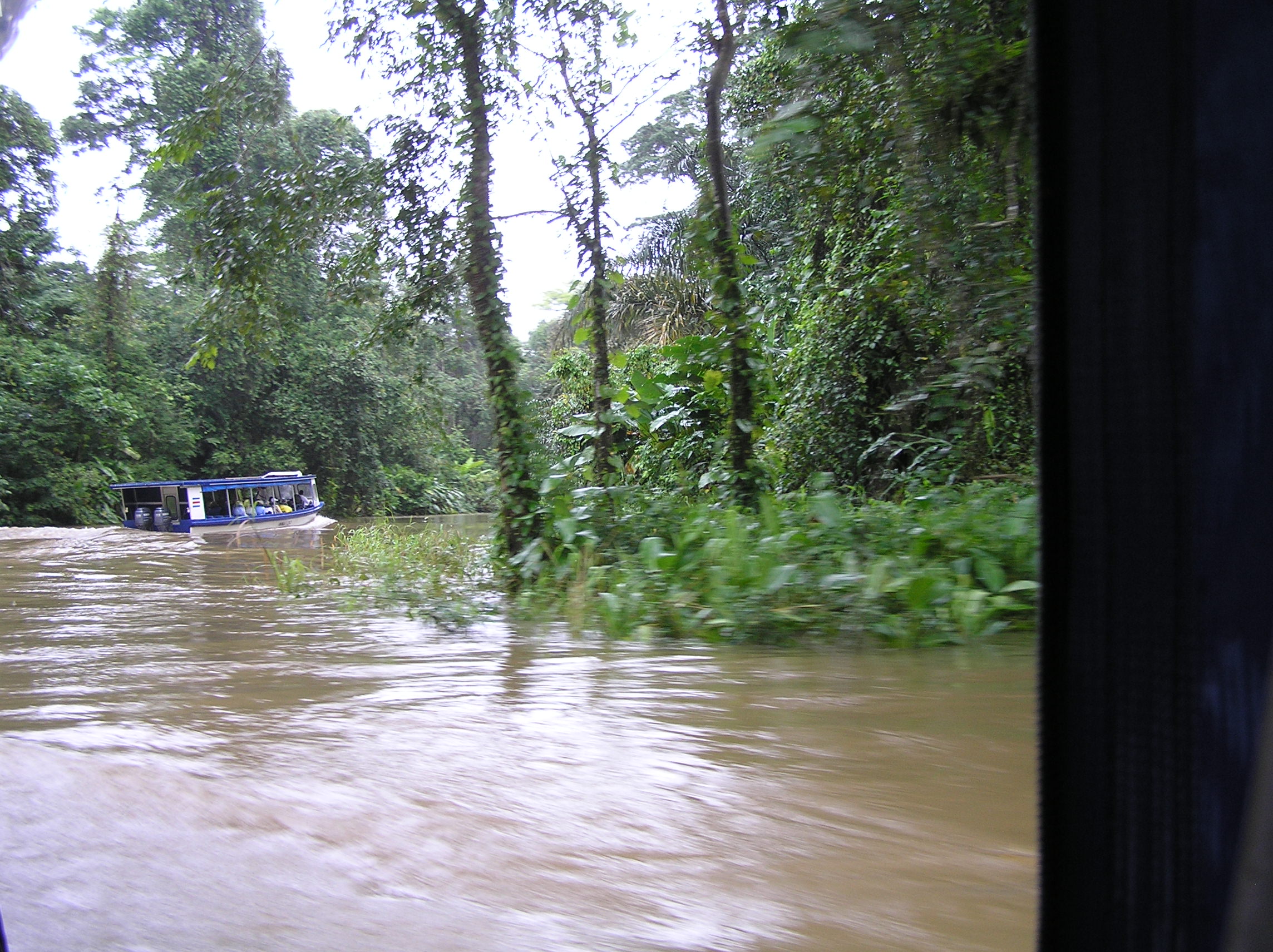
On one of several rivers and canals on the way to Tortuguero in NE Costa Rica. You leave
a bit north of Limon on the Carribean coast. it is a very wet area with lots of rain, water,
rivers and wildlife. Its main function isa protected area for Green Turtles to lay eggs
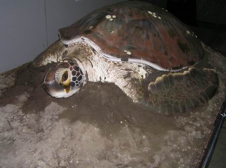
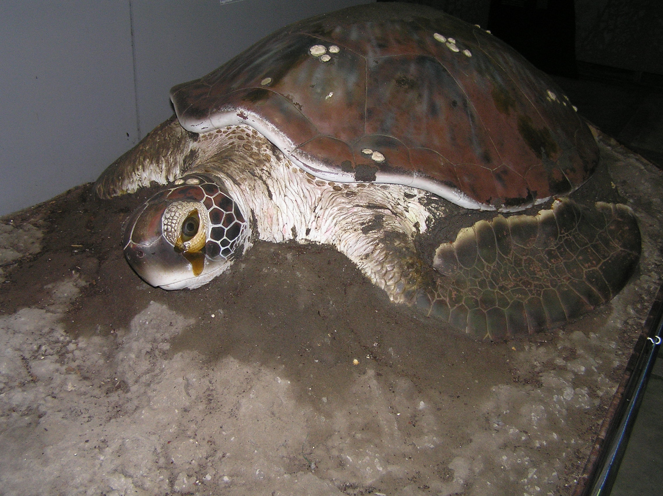
This is a replica of the Green Turtle.
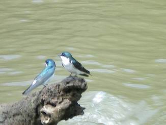
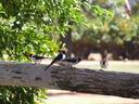
A type of swallow we seen on one of the wildlife tours.
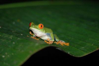
A very unique frog. Be sure and look at the feet.
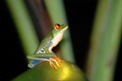
Another view of the unusual frog.
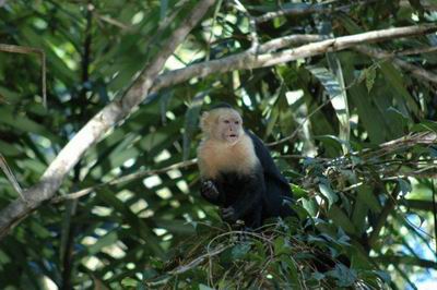
White Faced Capuchin Monkey getting ready to jump from one tree to another over the middle of
the river.
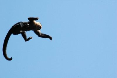
He just made it as it was a very long jump. He bounced up and down several times preparing
to jump.
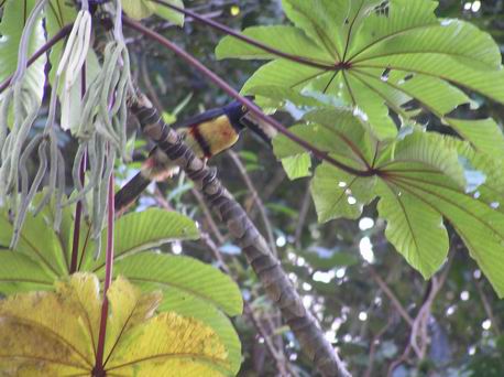
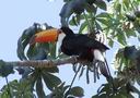
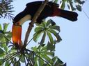
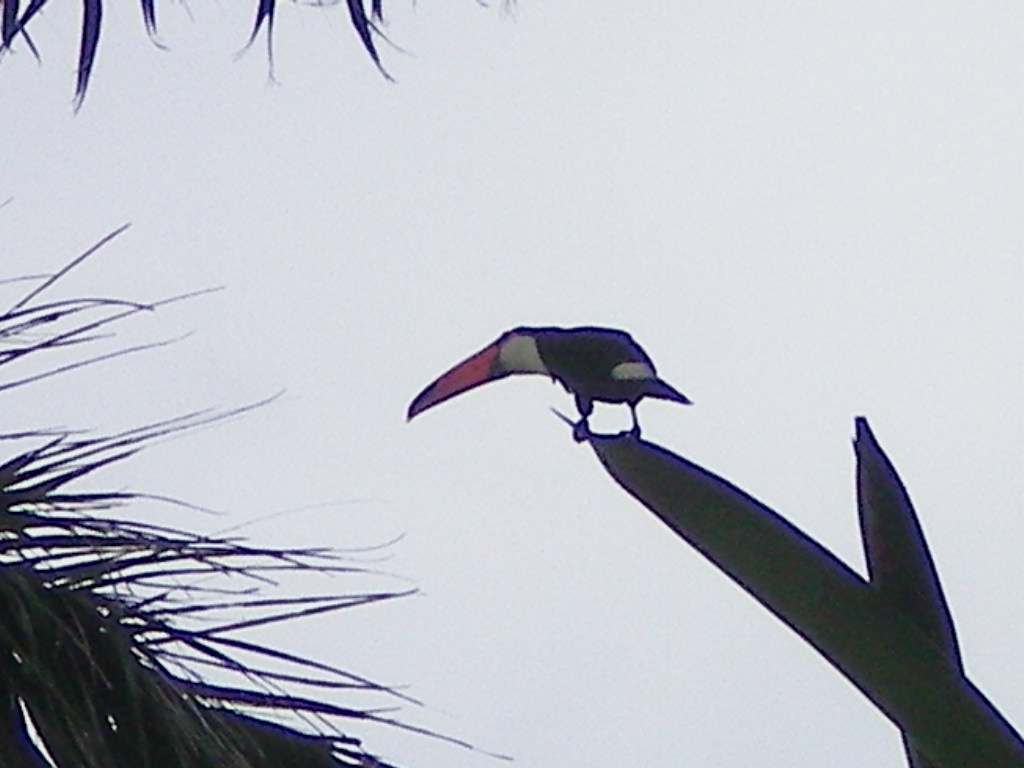
A Tucan.
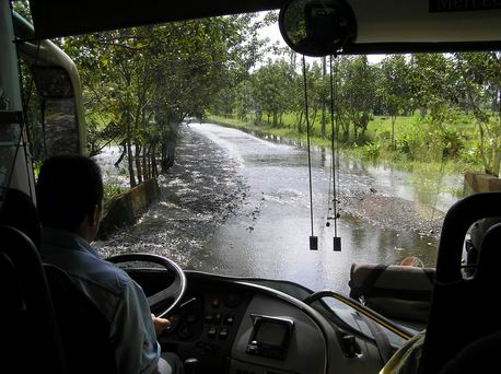
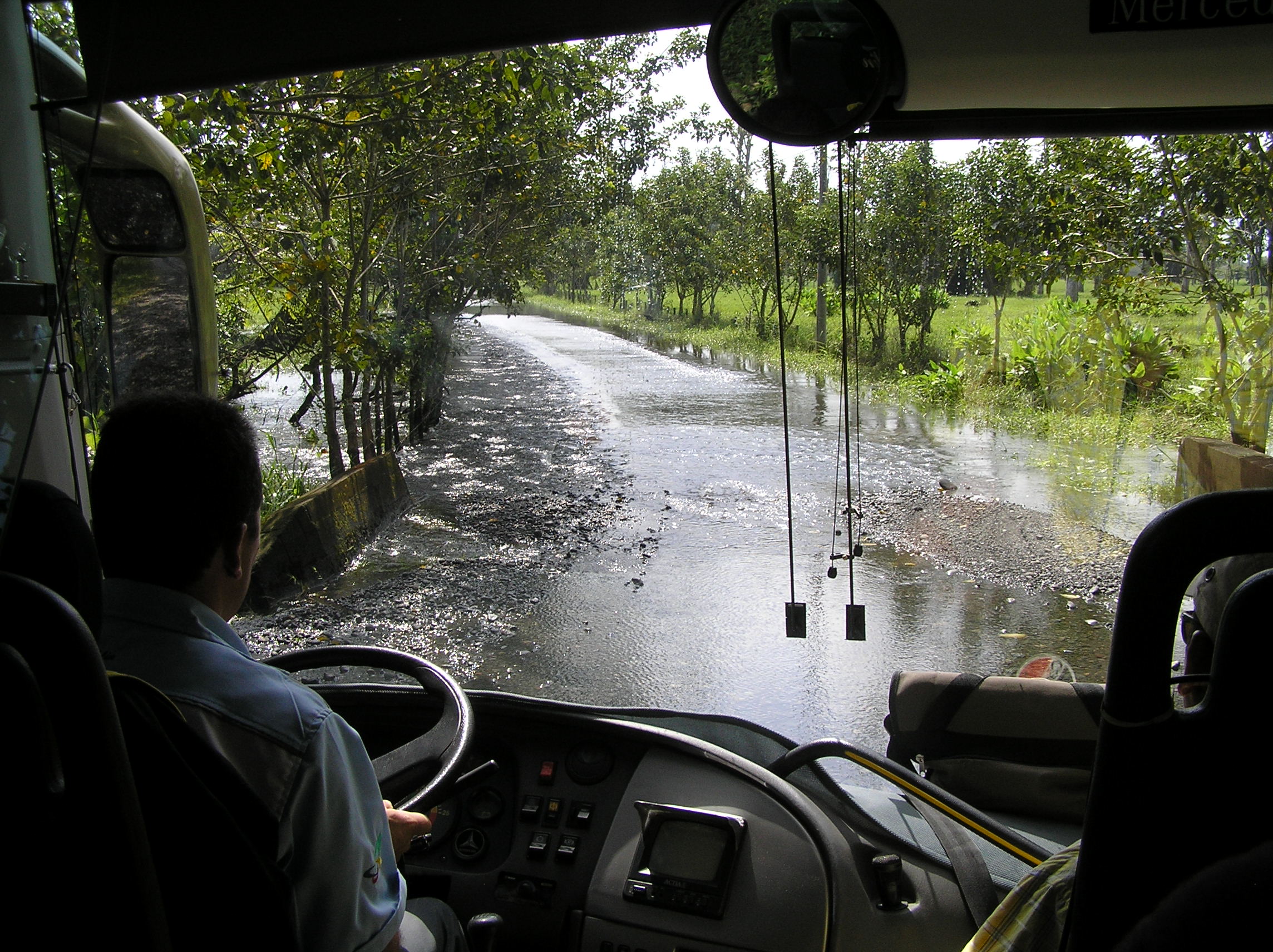
Due to a lot of rain we had to take a different way into Tortuguero and by the time
we left the water had gone down some so we went the regular way but as you can see the water
is still quite deep on the road.
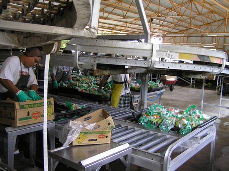
Banana's are the biggest crop in Costa Rica. This is a Delmonte plant.
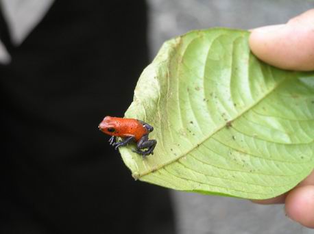
A poison Dart frog and again note the feet. It was called this because the natives
used the toxin for poison for there hunting arrows.
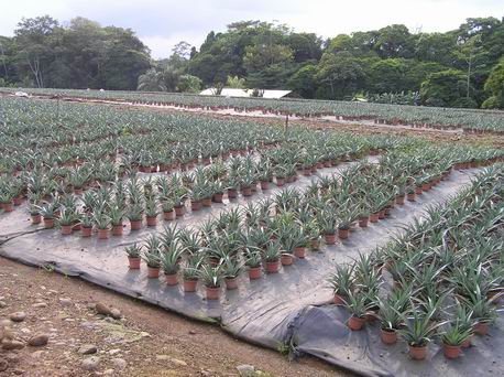
Young Pineapple for planting. Here we learned about all the false things you hear about
how to pick a pineapple to buy in the store such as if you can pull out a leaf.

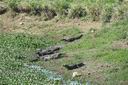
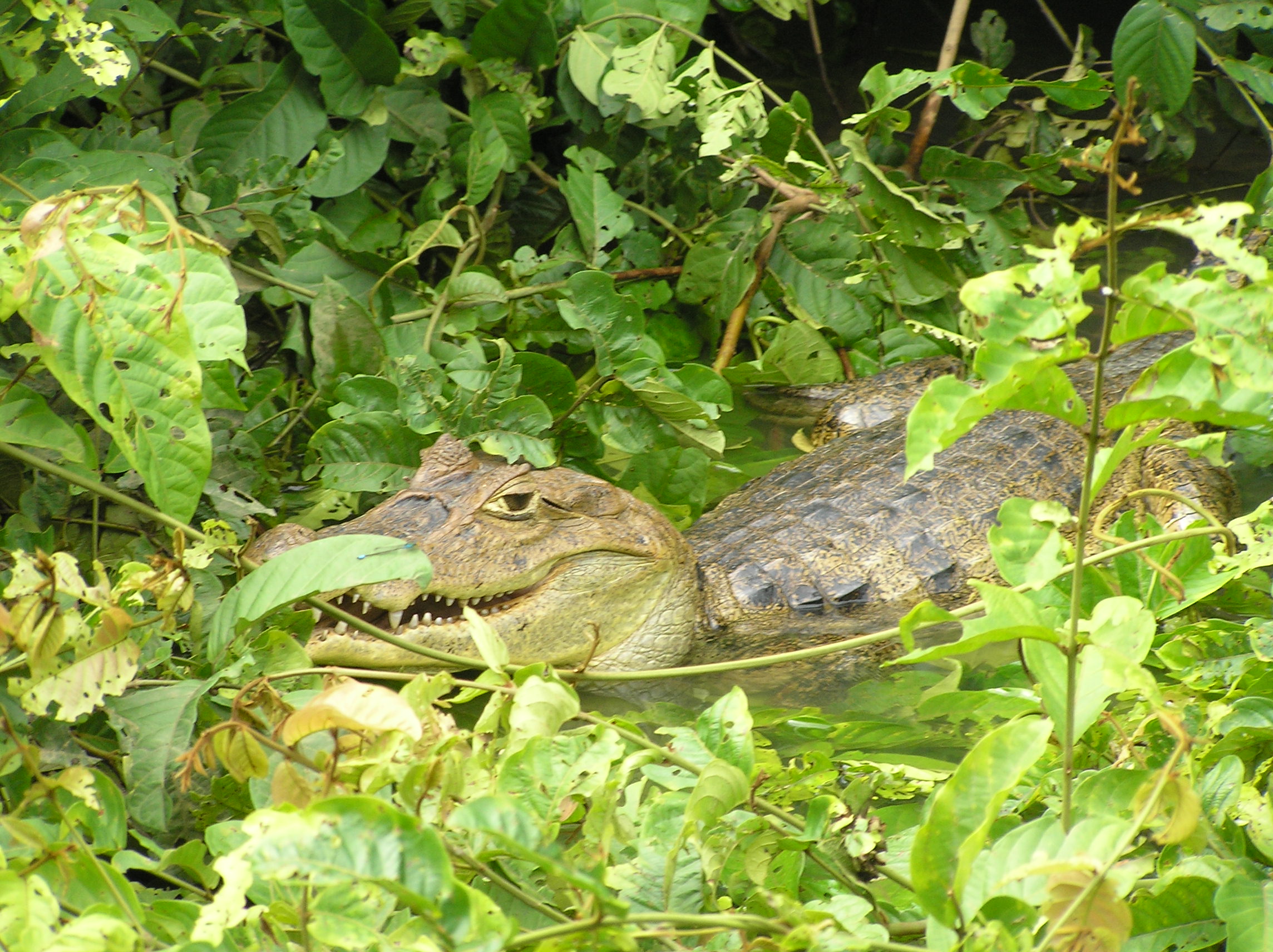
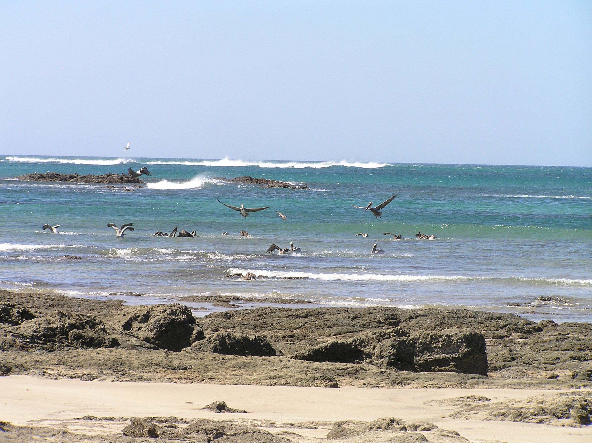
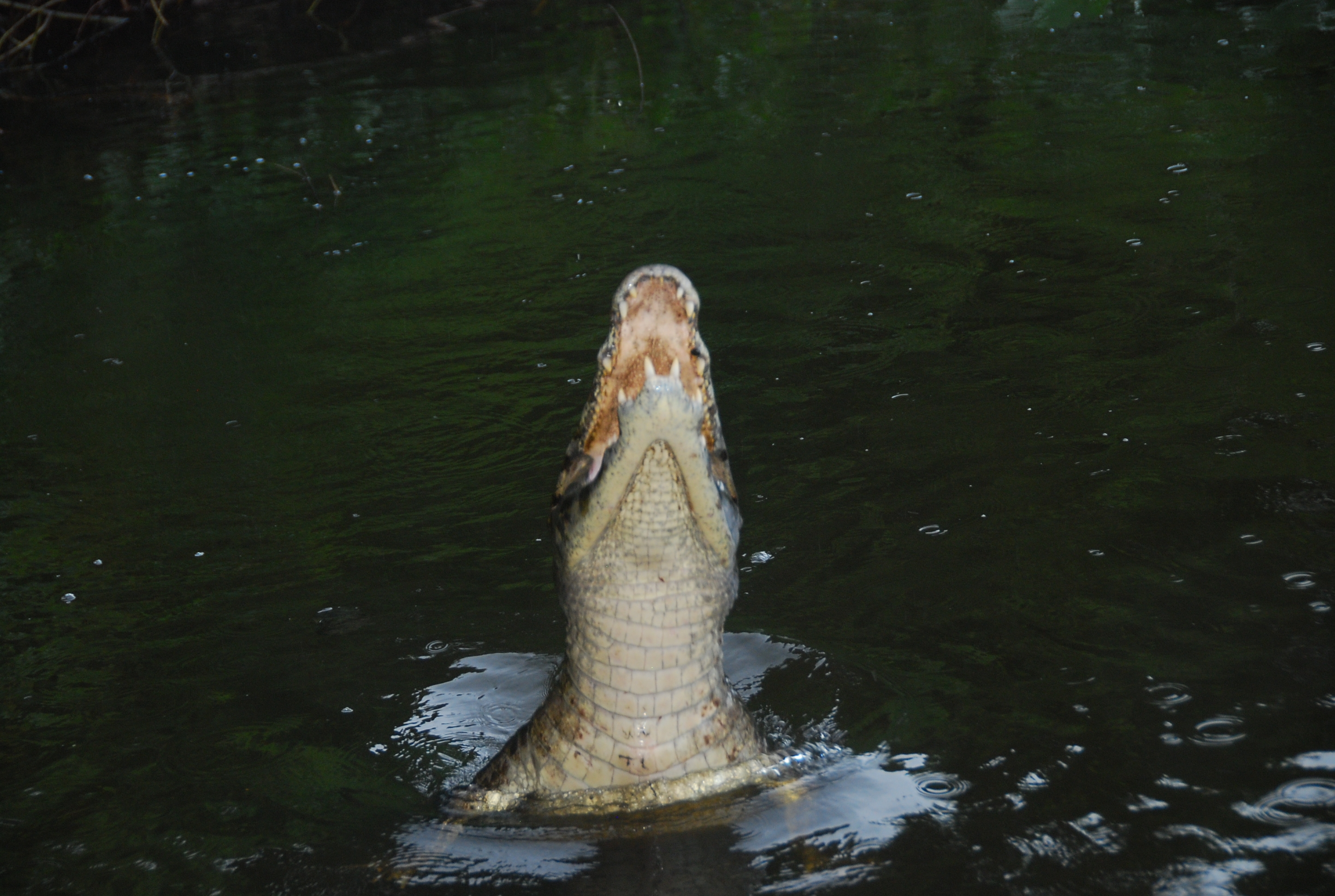
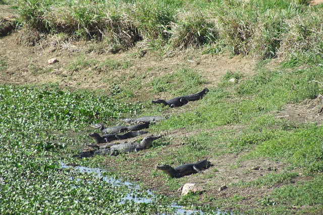
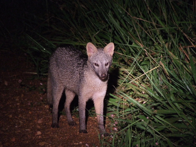
A Caiman at Canal Negro Wildlife Refuge near Nicarugua and in fact we stepped over the fence
into Nicarugua. It is easy to see how the illegals can come and go at will into Costa Rica.
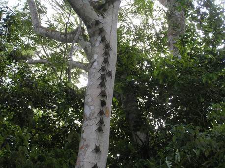
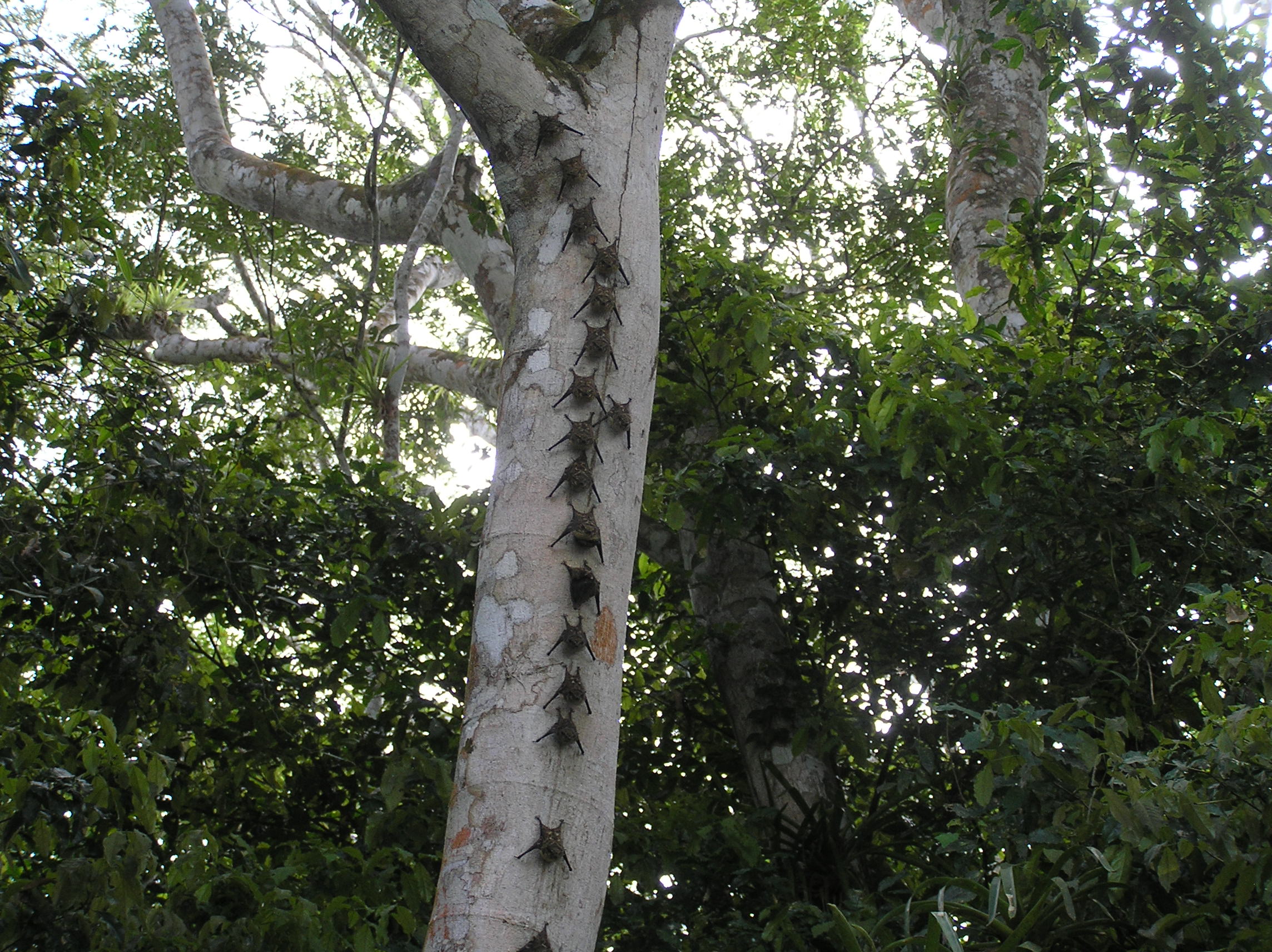
Bats at rest during the day on a tree at Canal Negro Wildlife Refuge.
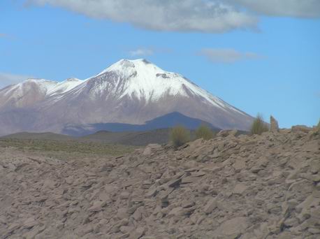
Mount Arenal Volcano is the biggest active volcano in Costa Rica but as you can see we could not
see it because of the fog and rain. It is very common not to see the volcano because of the
weather. We did spend some time at the hot pools there. The hottest was 104 F.
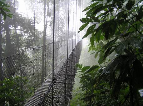
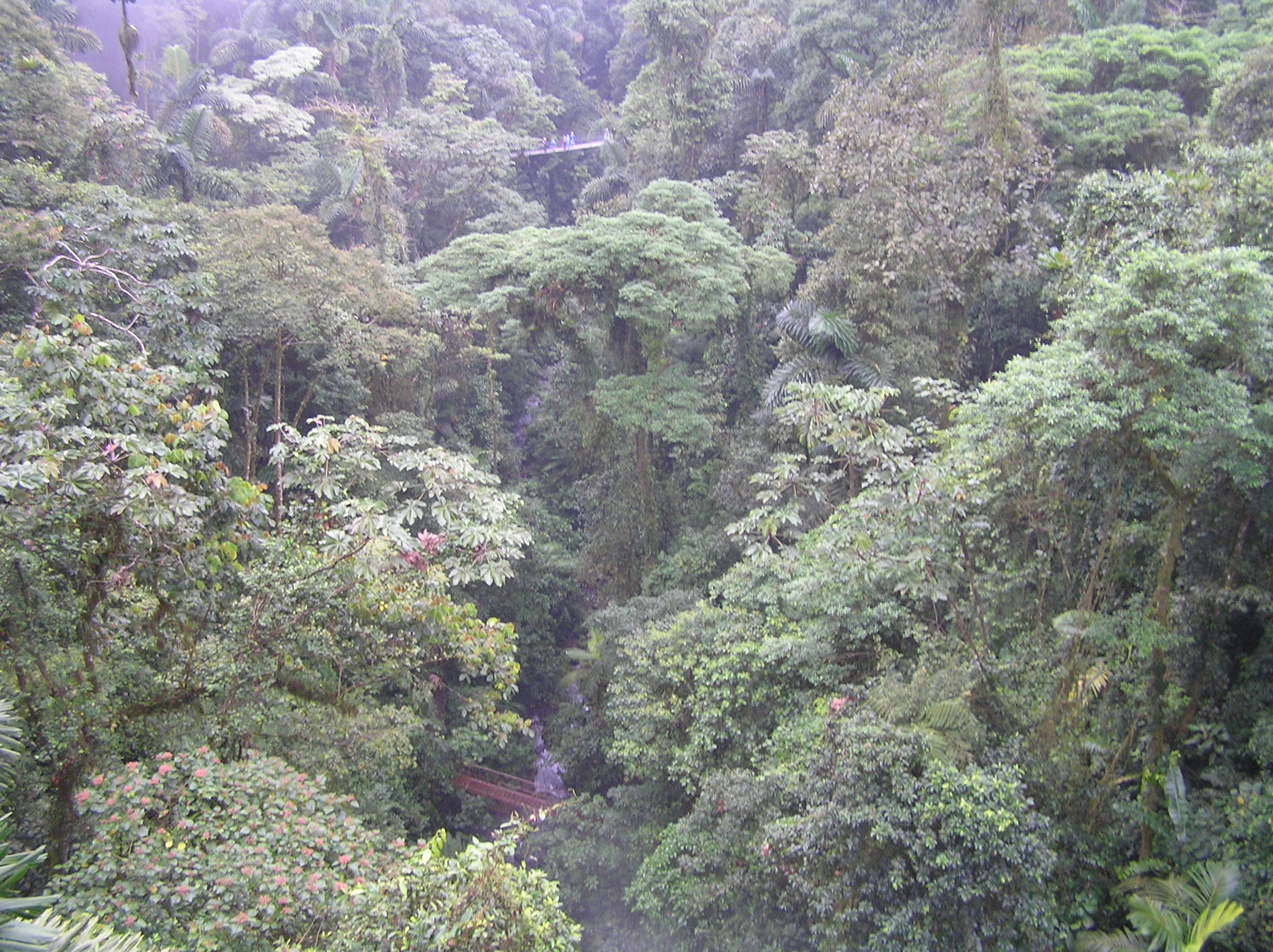
Hanging Bridges in the rain forest not to far from Arenal. There were six hanging
brides and other non-suspension.
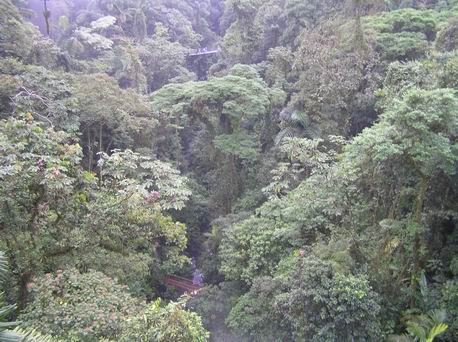
The rain forest on the Hanging Bridge hike. Note the bridge in the distance. This picture
was taken from a hanging bridge looking at another one.
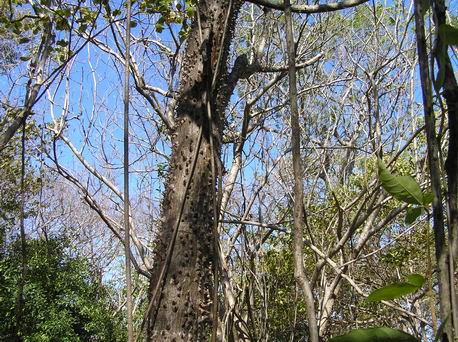
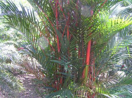
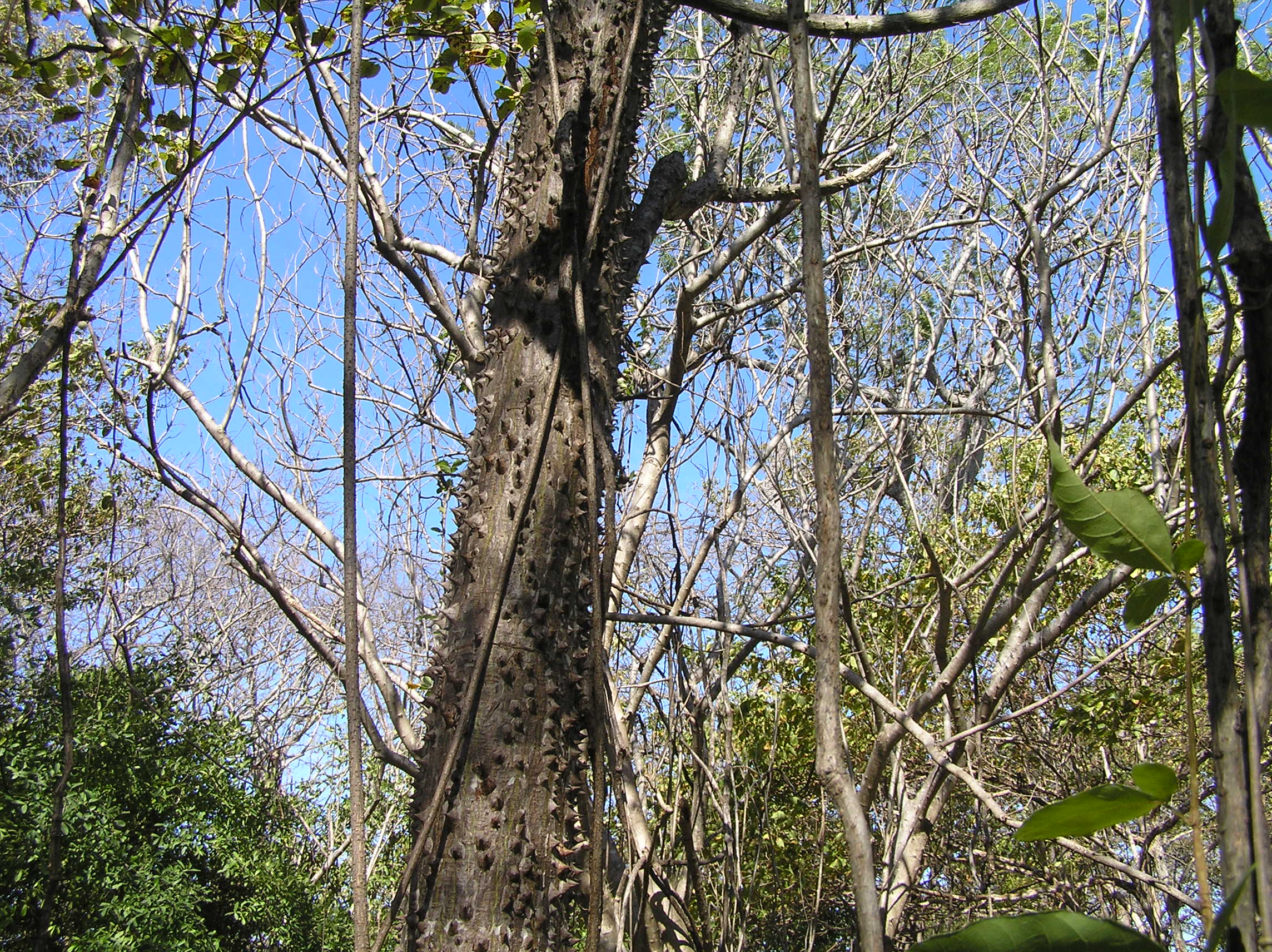
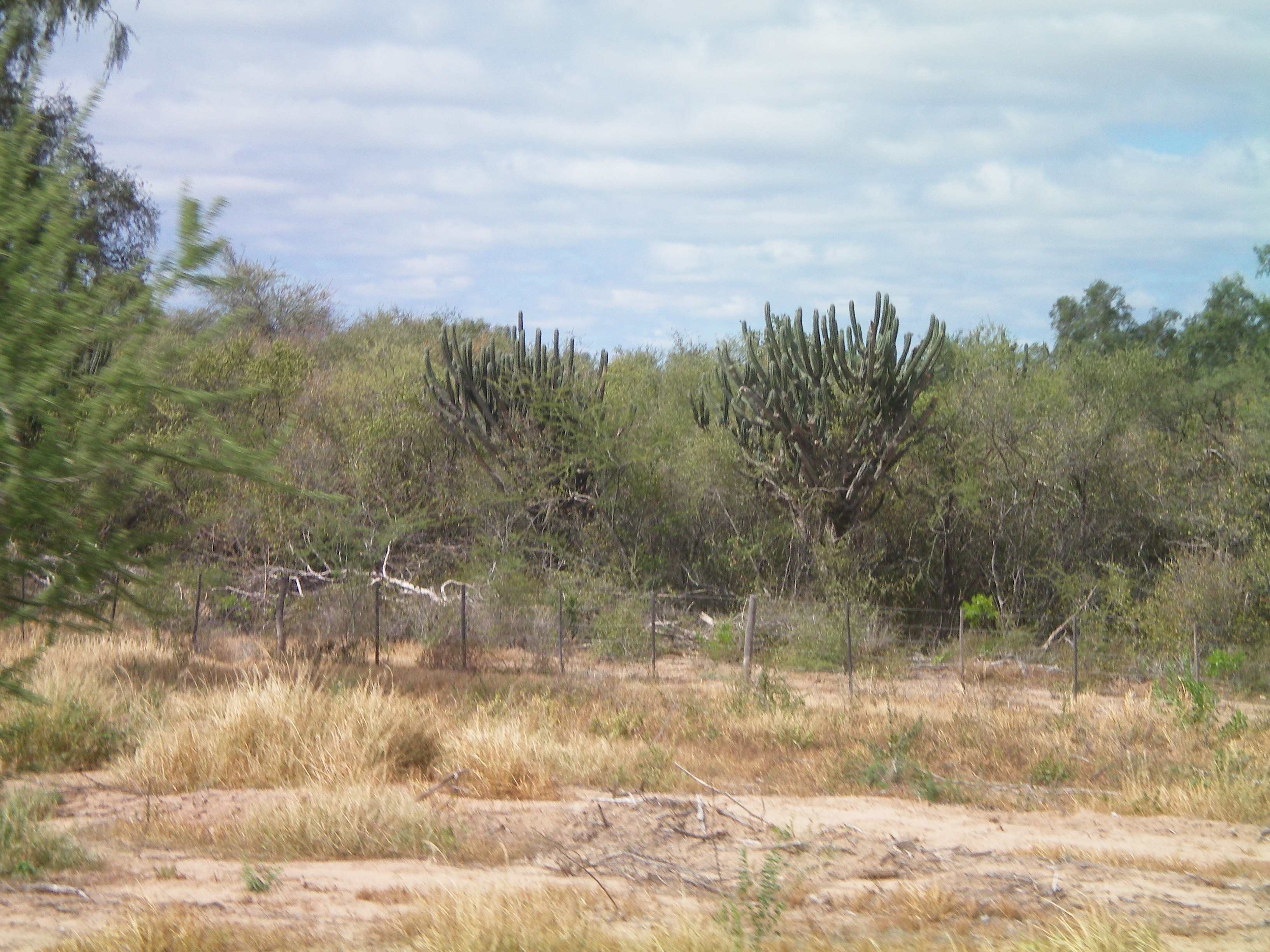
A Cedar Thorn tree in the Guanacastle area of Costa Rica which is the North west coast.

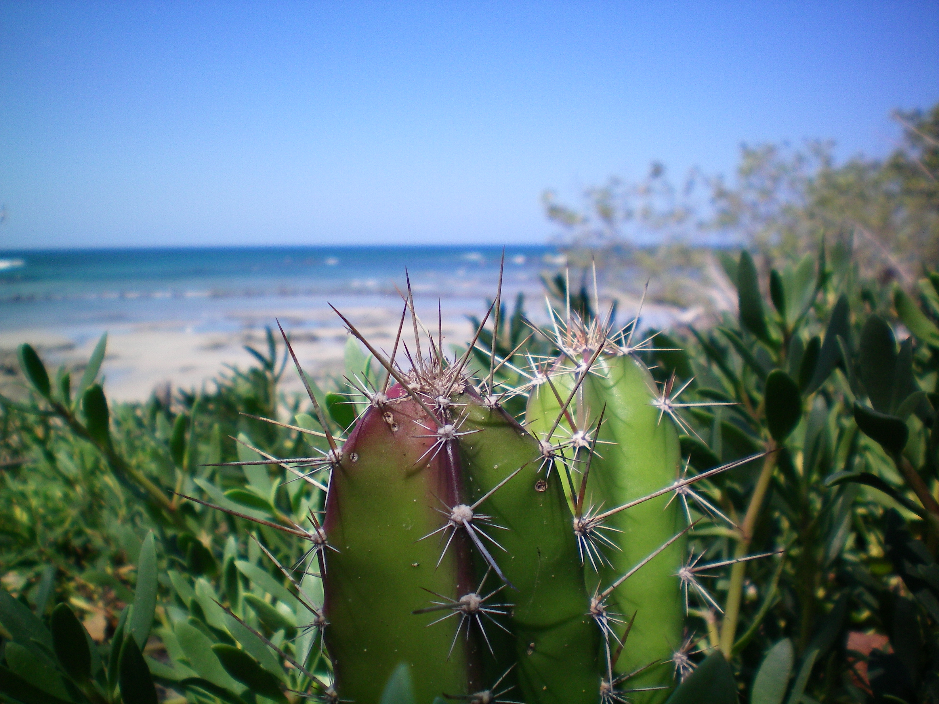
Cactus and the ocean on the Guanacastle coast near the JW Marriot which is supposedly better
than a 5 star hotel. It is dry and hot here during November to May and then the rainy season
comes and it is humid and hot.
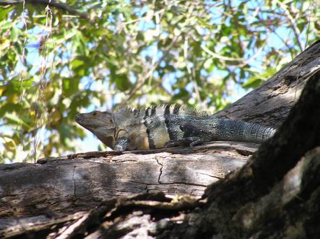
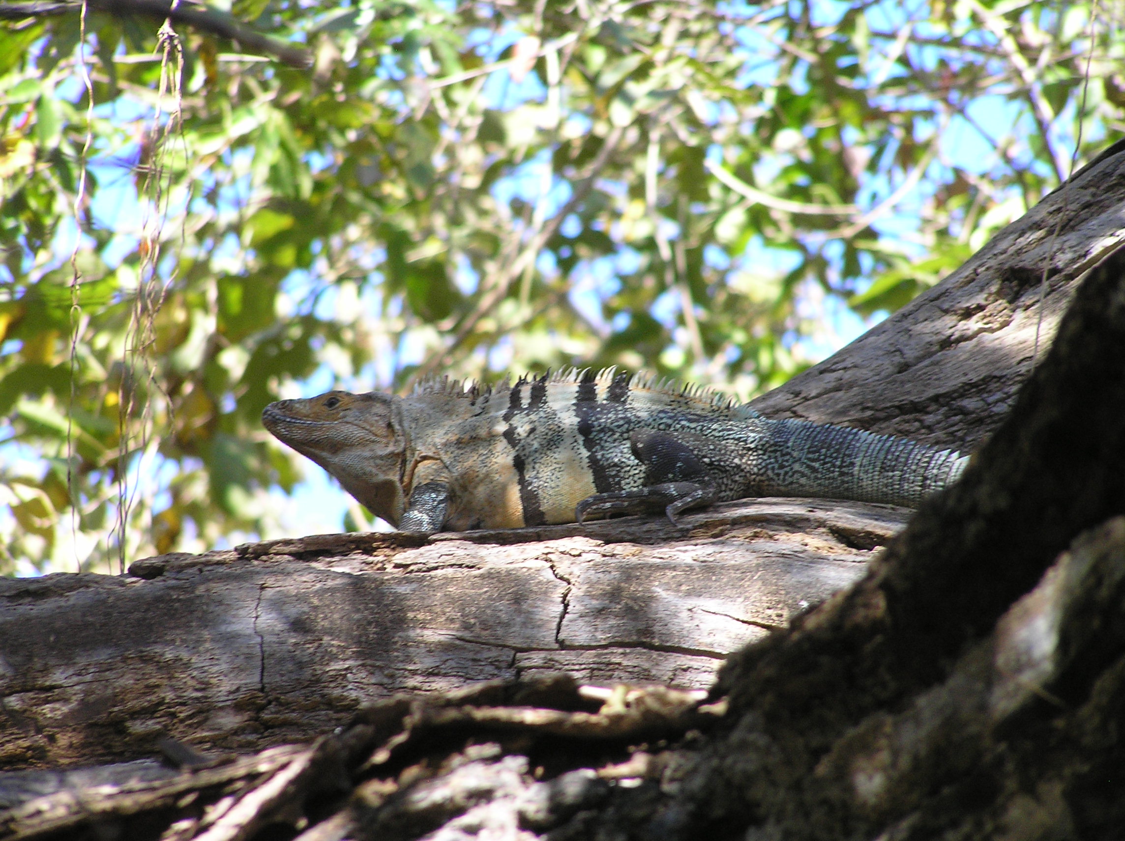
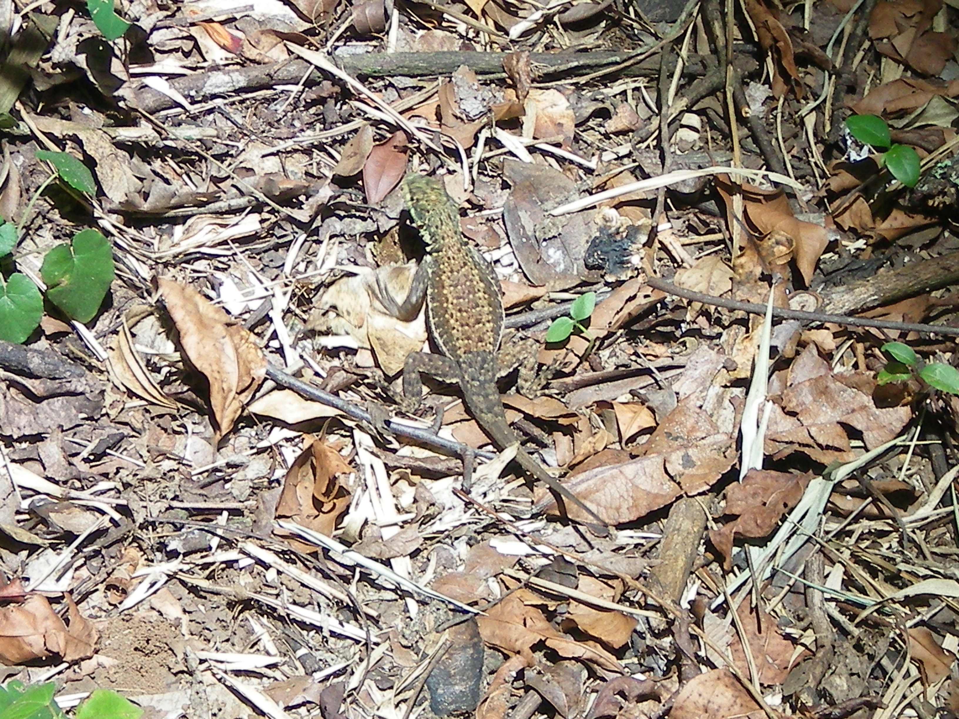
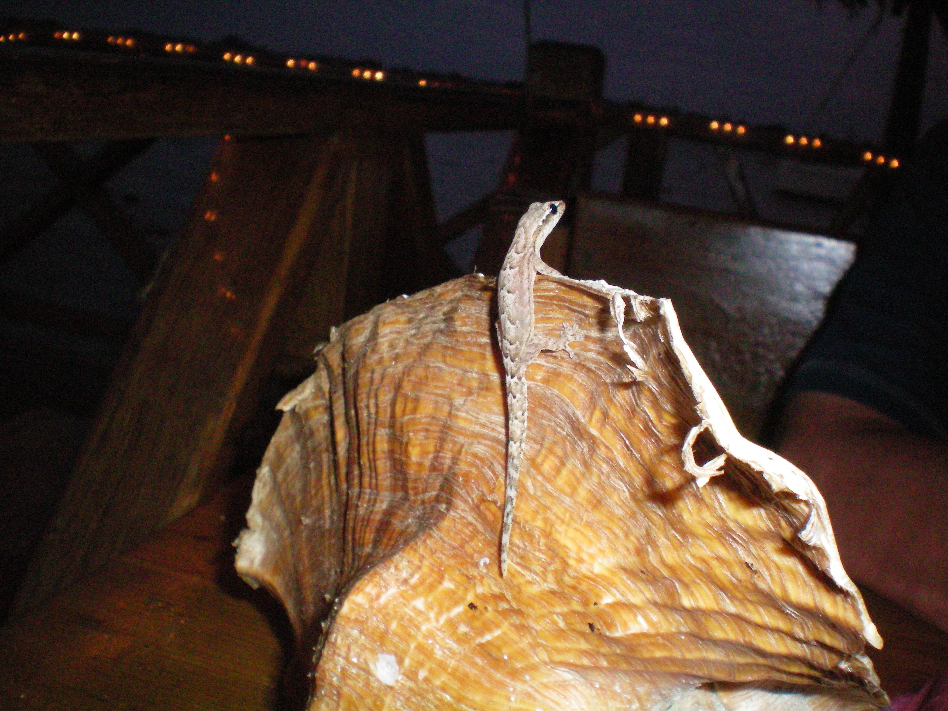
An Iguana with unusual colors, We seen many types in Costa Rica
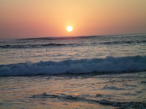
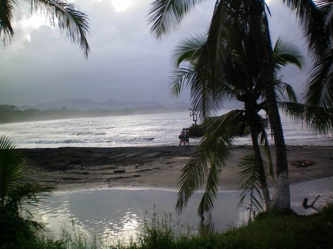
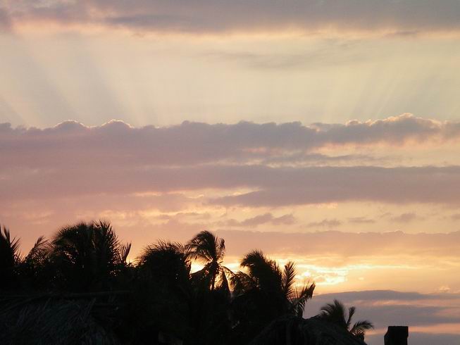
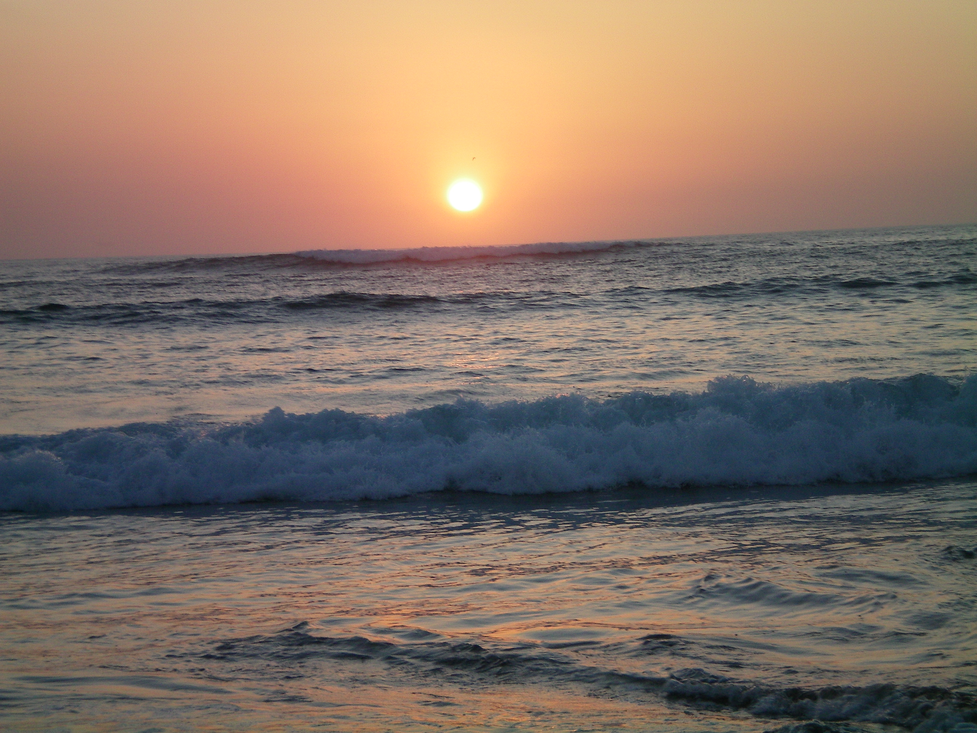
Sunset on the Guanacastle coast.
Guanacastle coast.
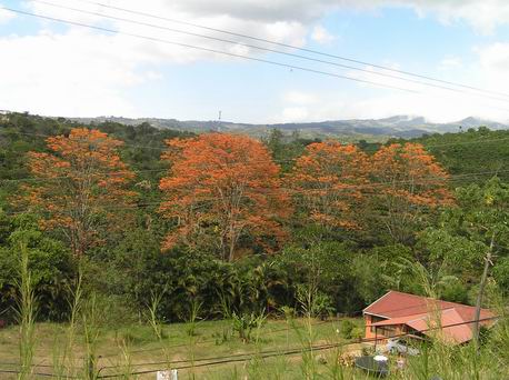
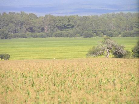
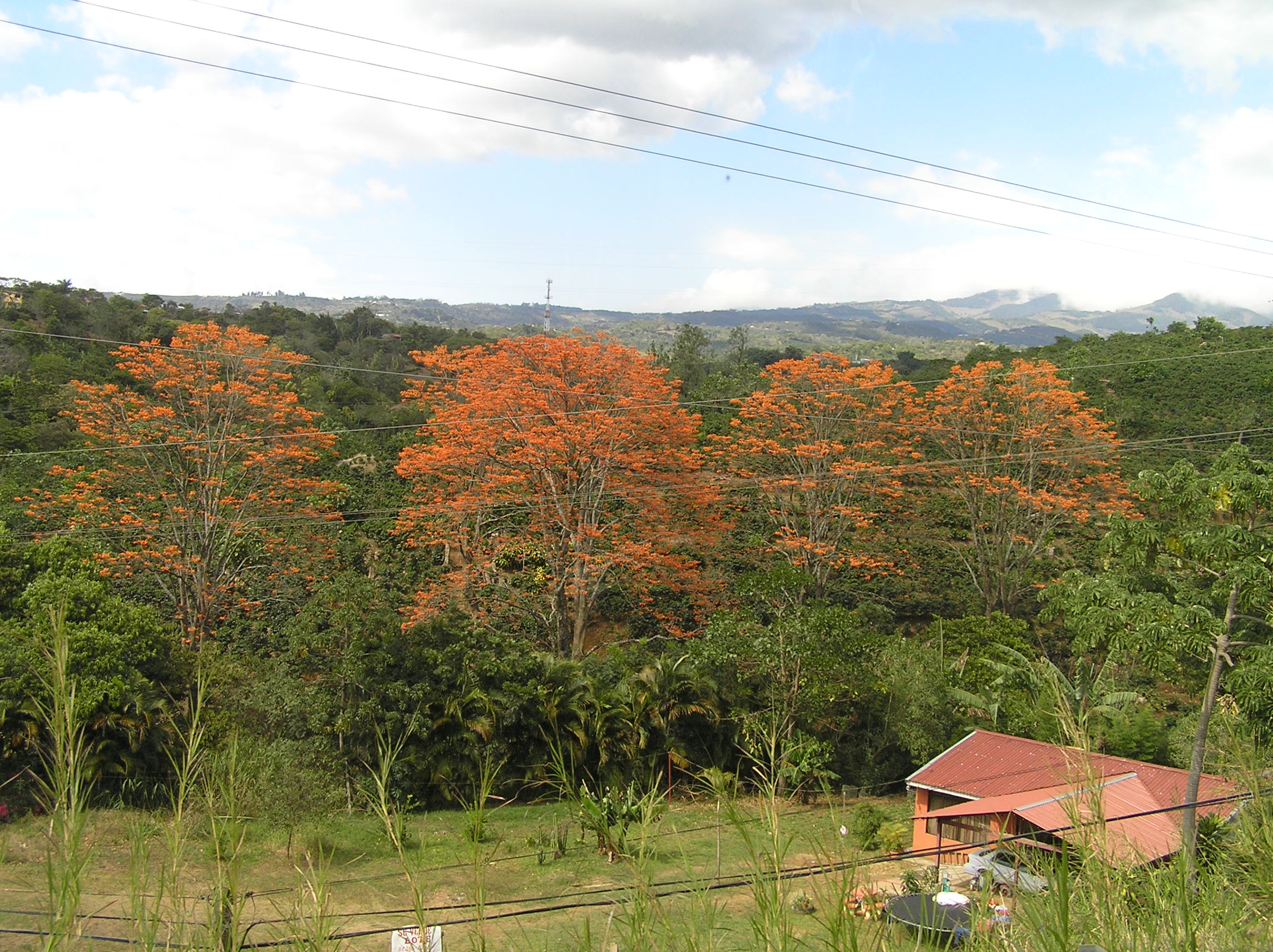
Orange trees or Flaming trees of the forest in the central valley near San Jose.

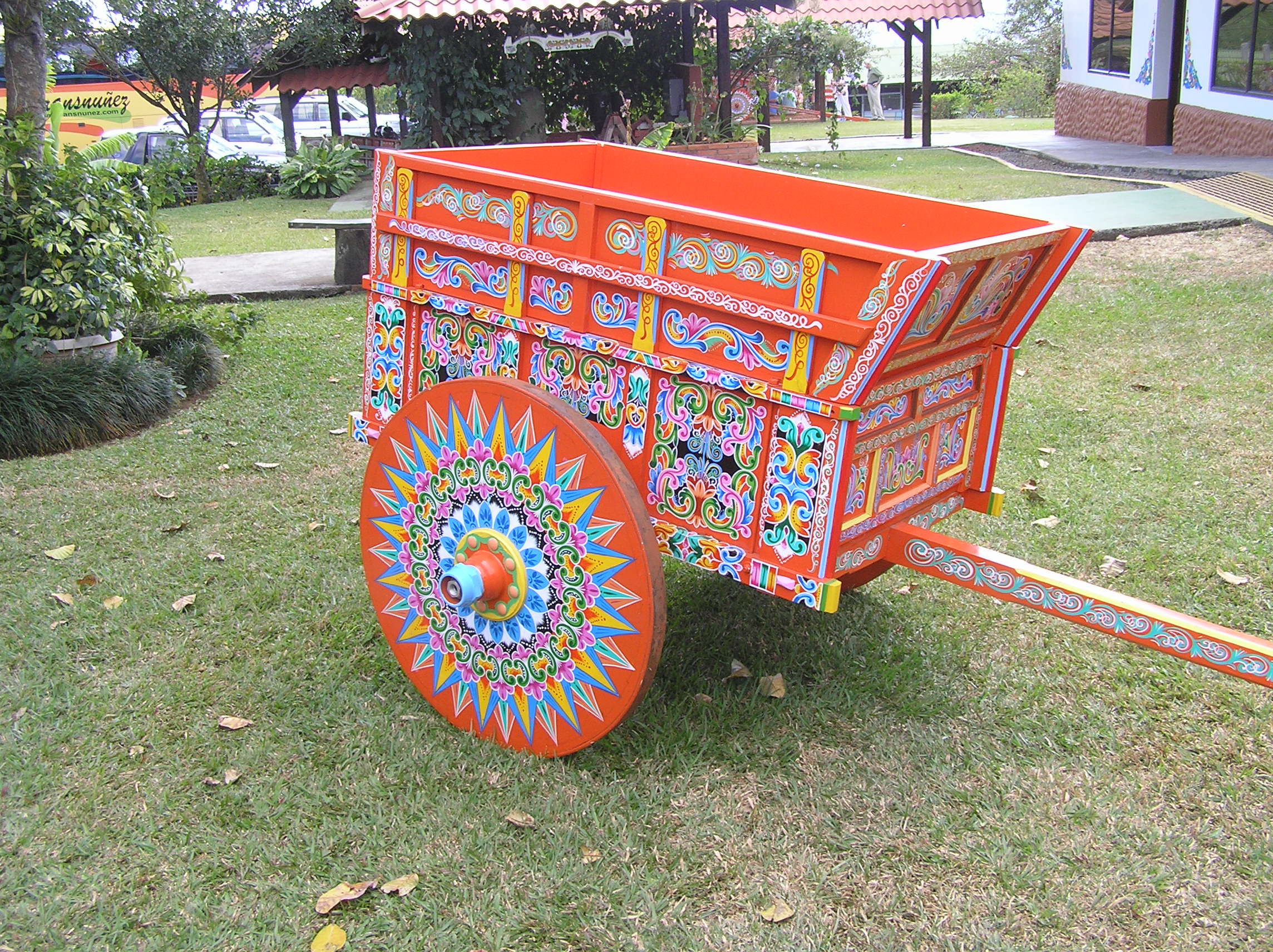
THis factory has been making these wagons for over 100 years. Today they make
mostly smaller ones for show and gifts. It is called the Ox Cart market and is near
San Jose.
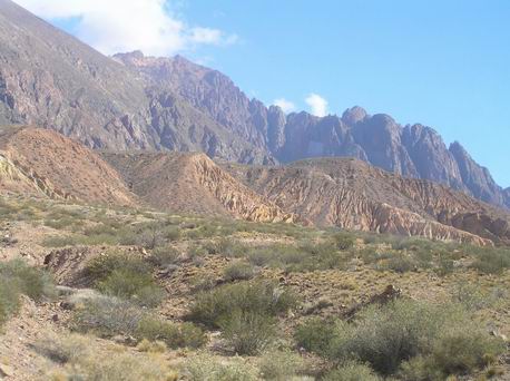
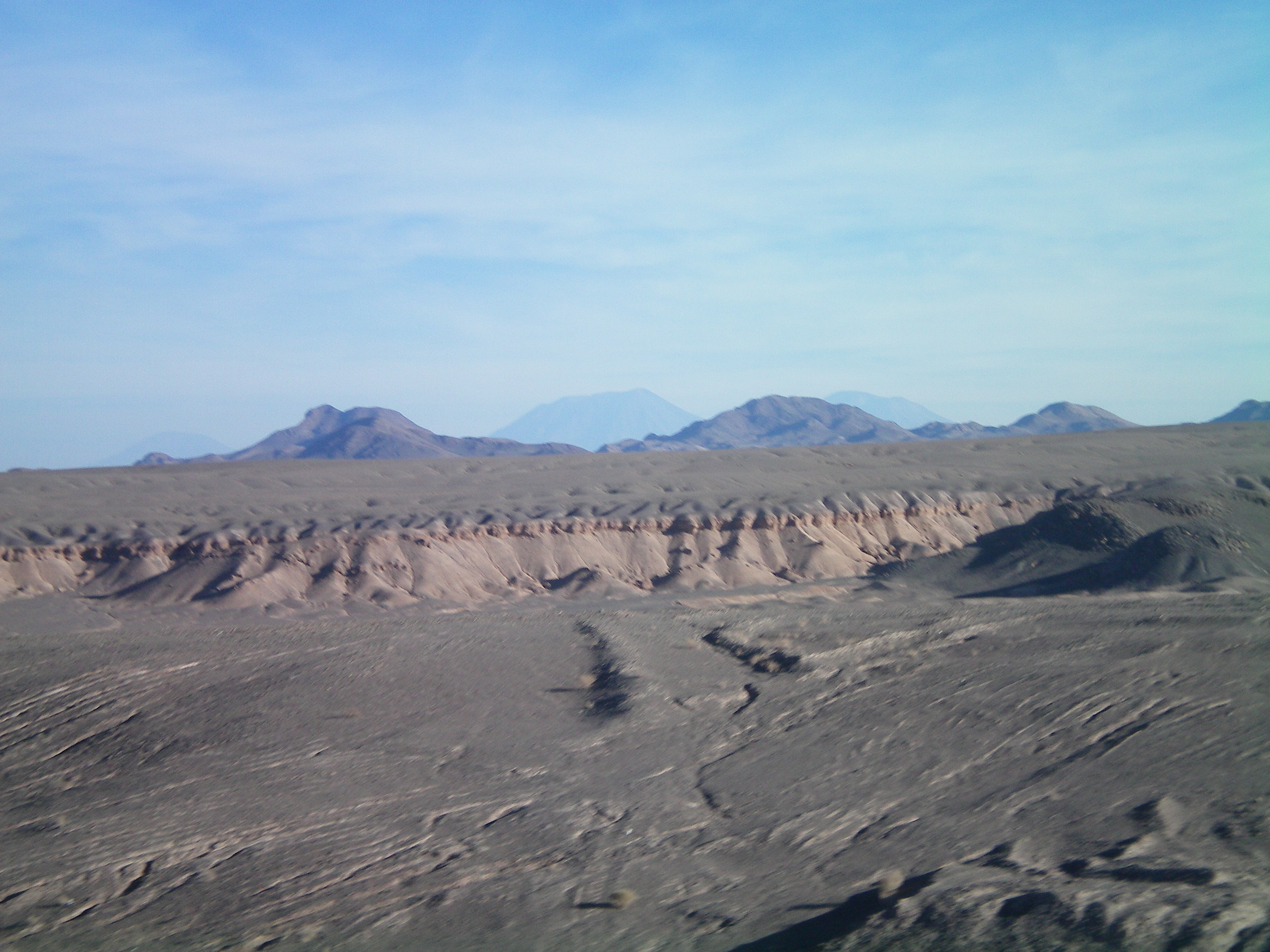
Desert coast north of Santiago.
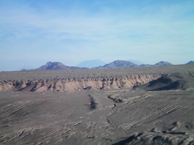
Desert farther north of Santiago.
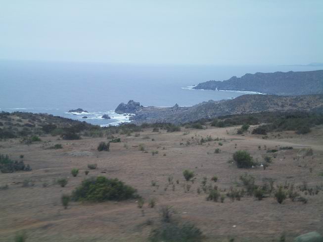
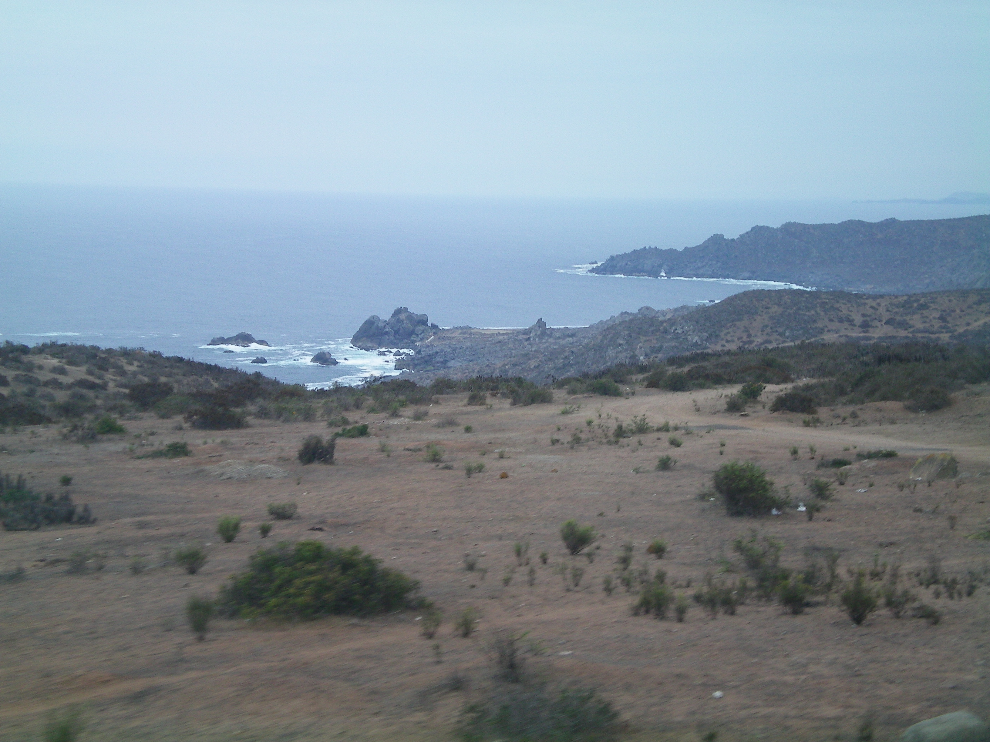
Coast of Northern Chile as we get farther north.
North coast of Chile not to far from turn off to San pedro De Atacama.
North coast of Chile again near the turn off.

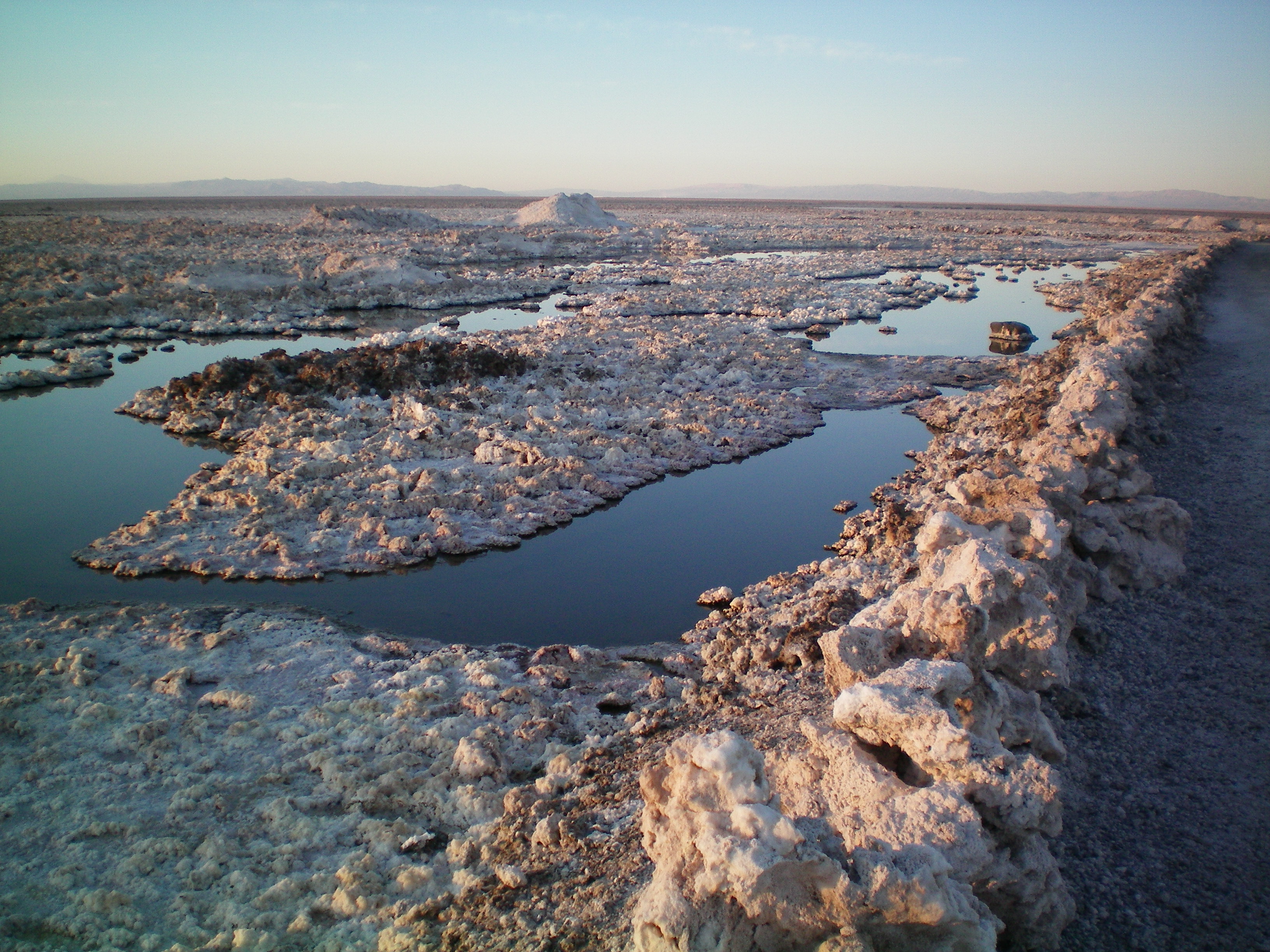
Salt Flats of San Pedro De Atacama. They are the third largest in the world.
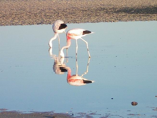
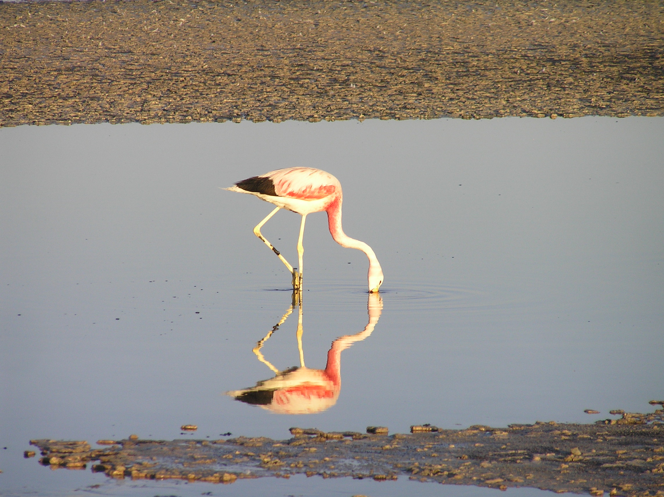
Andrian Flamingos on the salt flats.
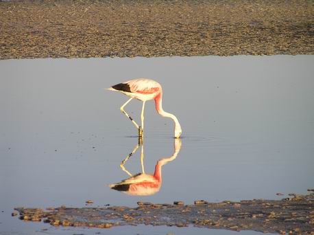
Andrian Flamingo.
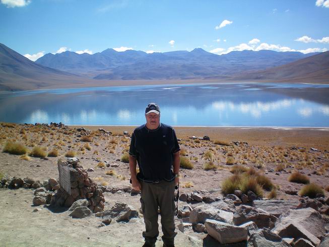
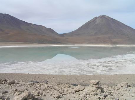
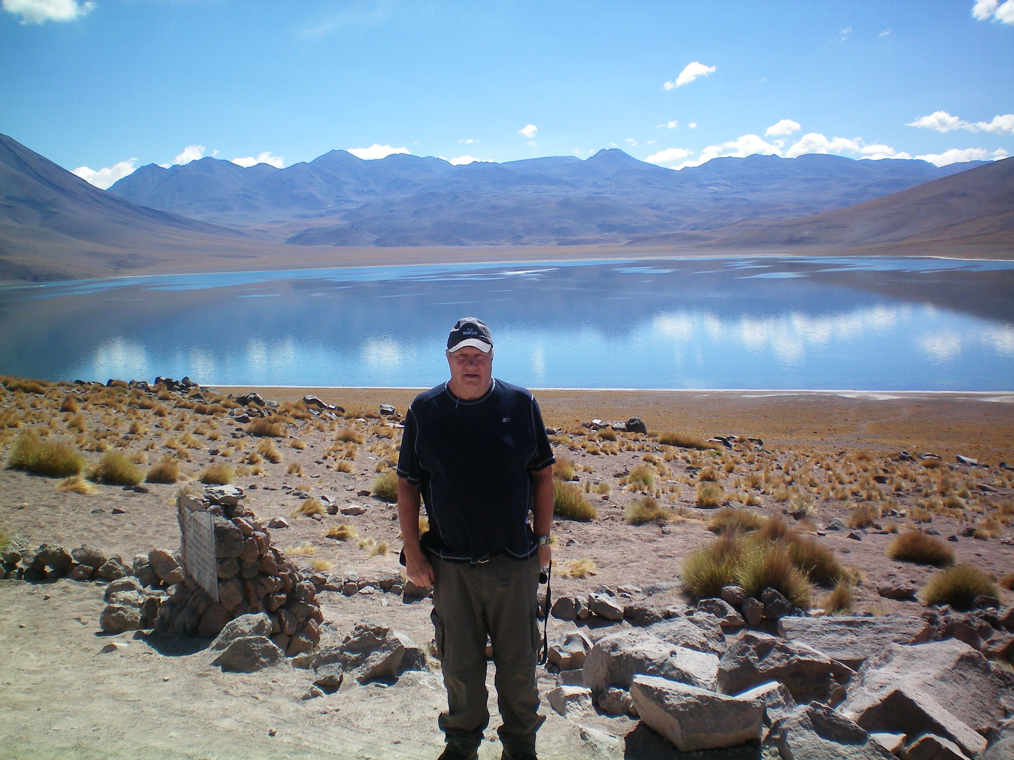
Laguna Miscanti. Nearby is the smaller Laguna Miniques
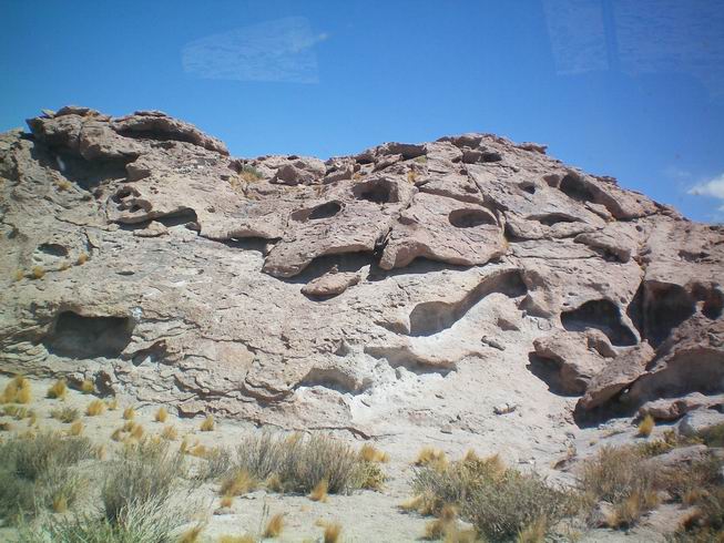
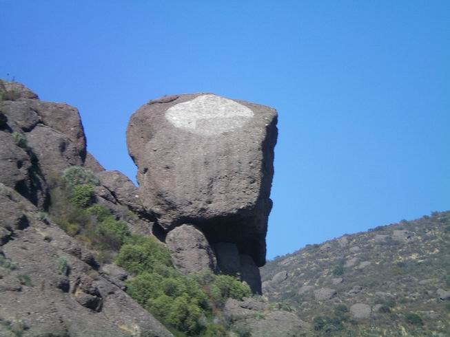
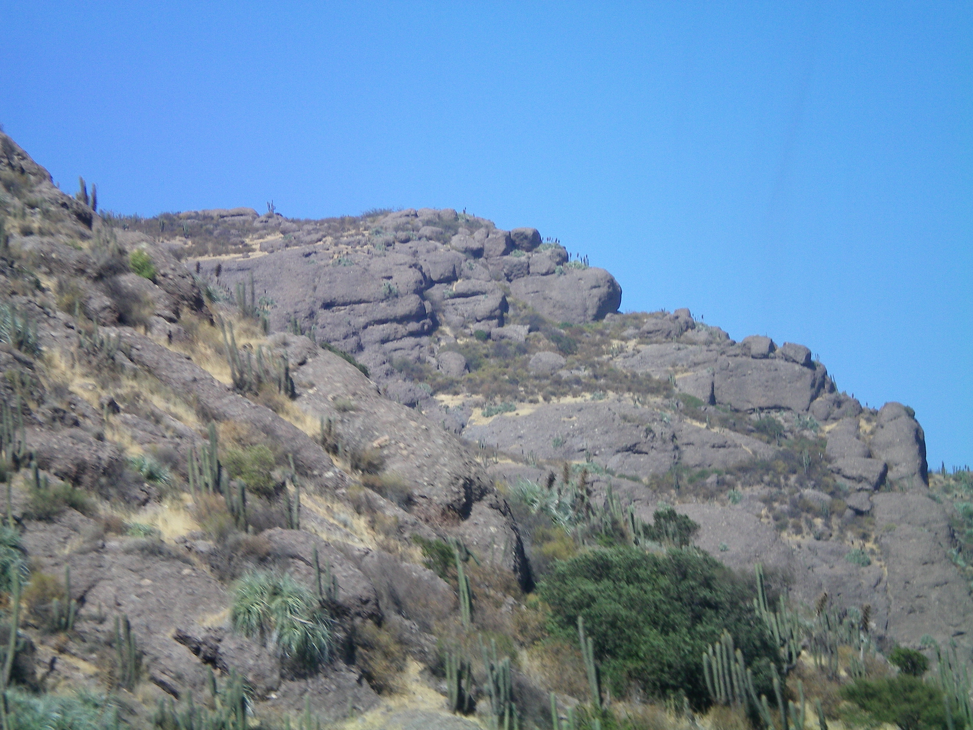
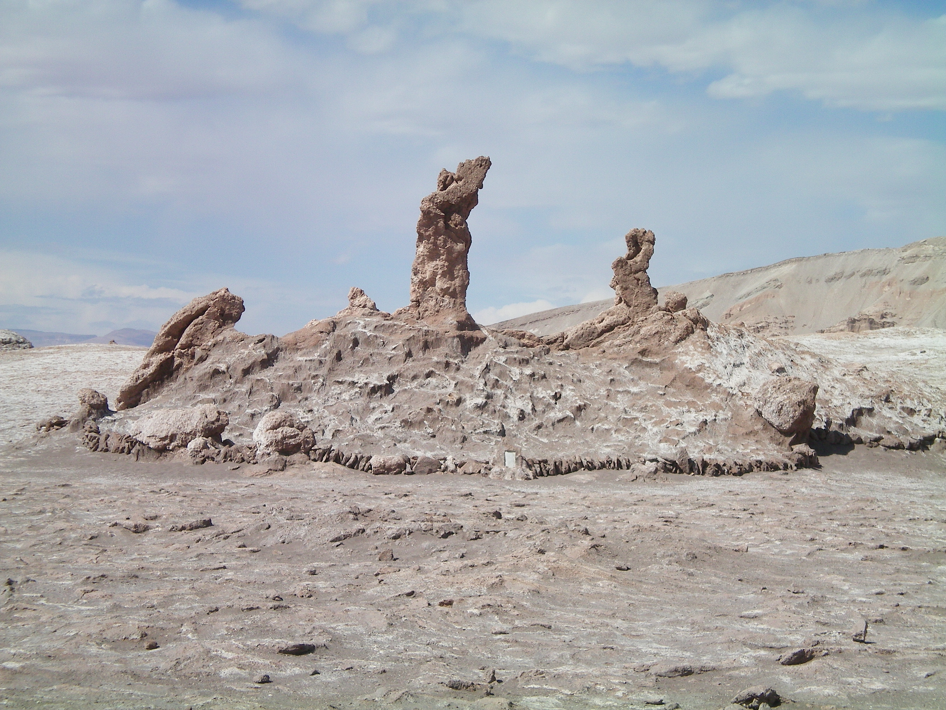
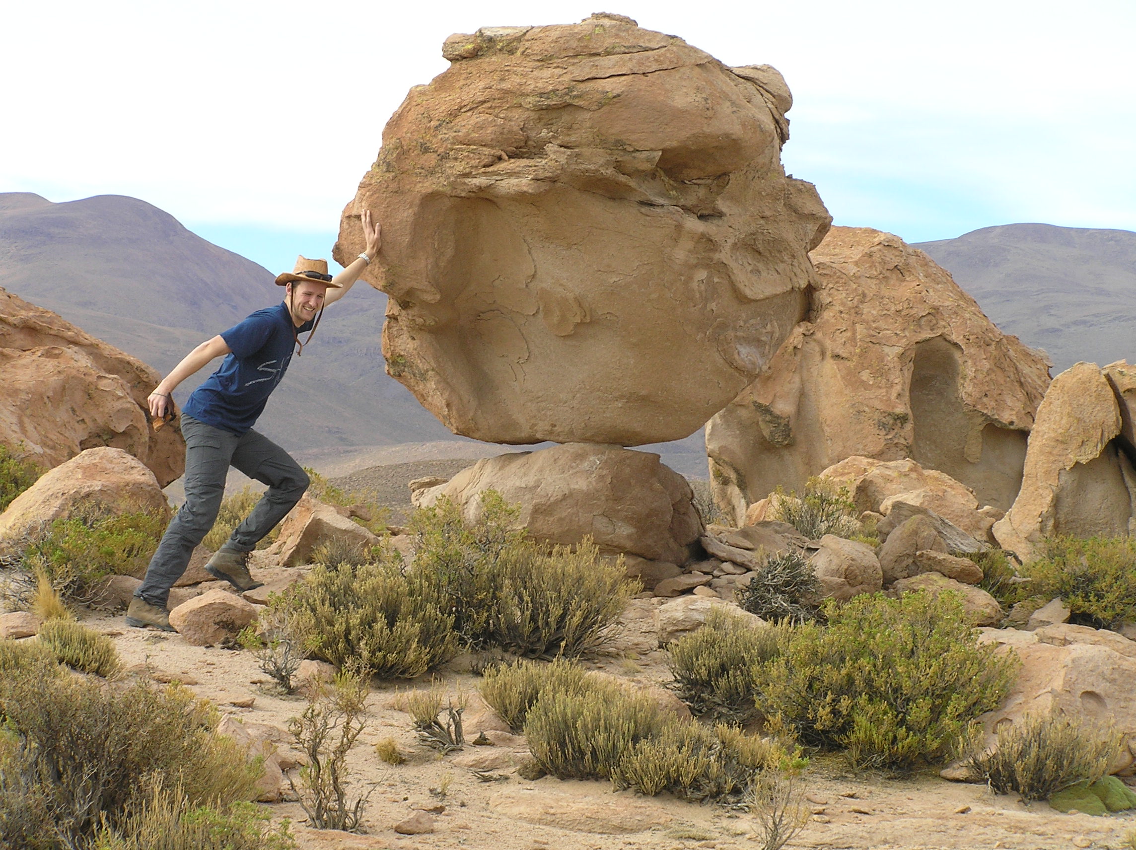
Unusual rocks near the Laguna's. San Pedro De Atacama Chile area.
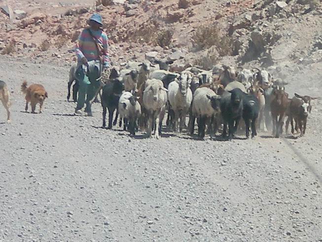
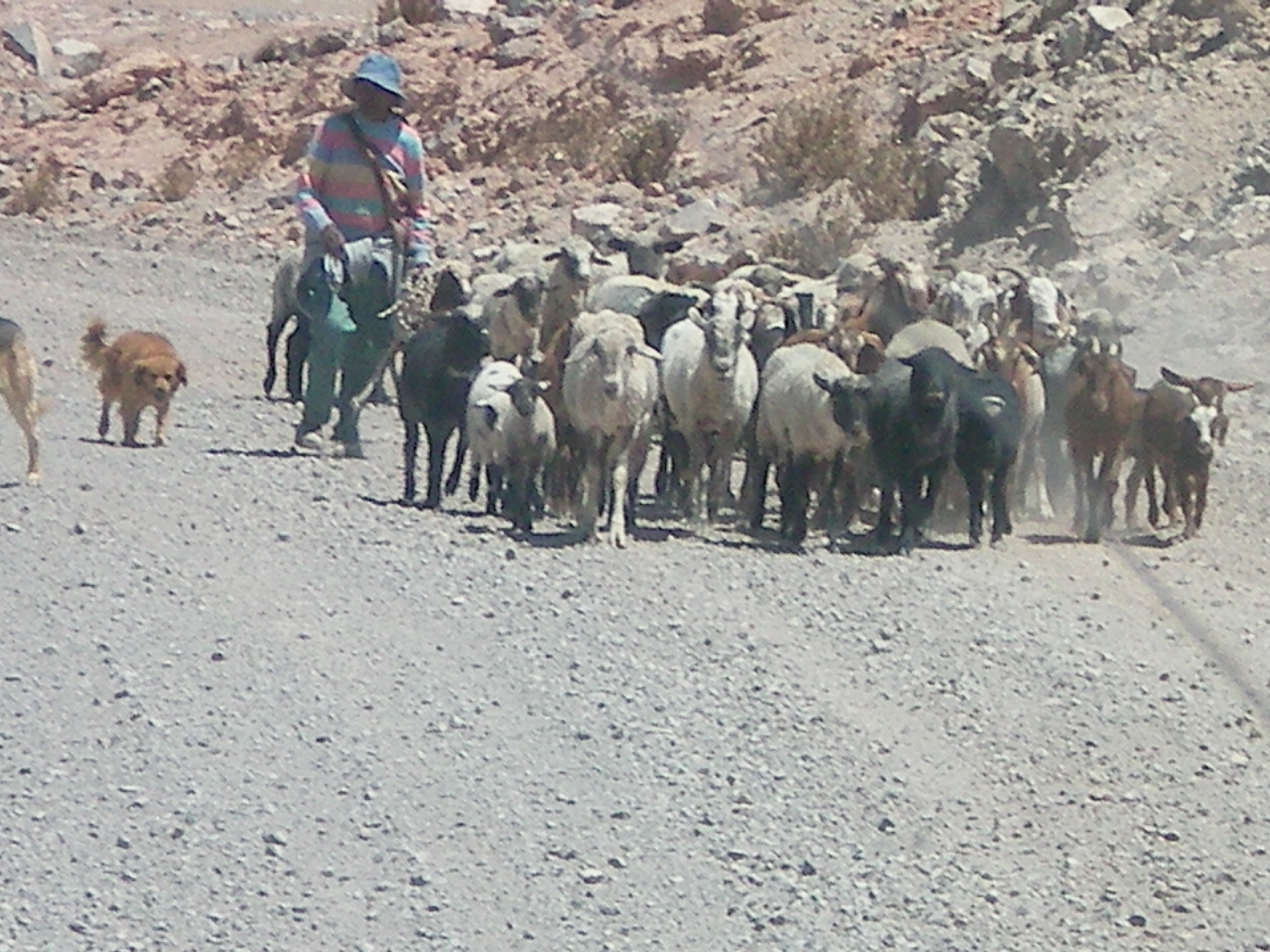
There is little grass here in the desert so they are moving the animals all the time in
search of grass.

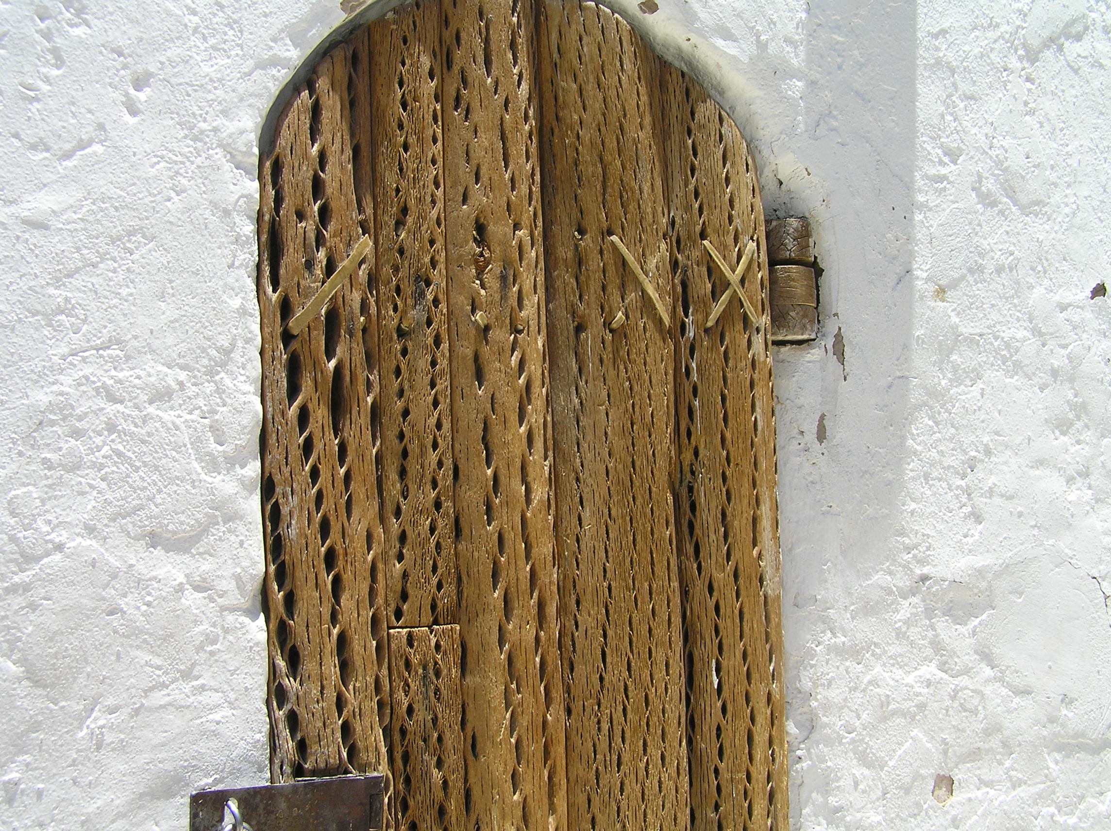
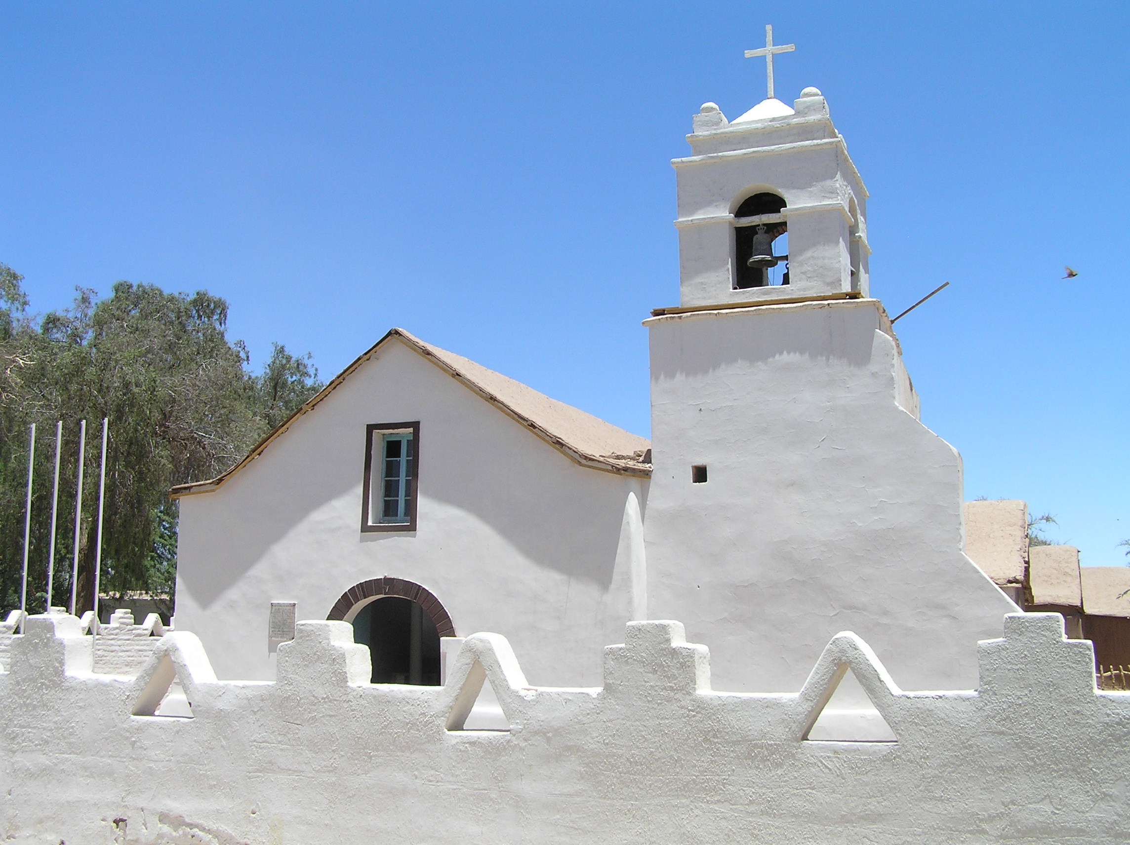
Wood is very scarce in the desert so they used cactus wood for the church bell tower door.
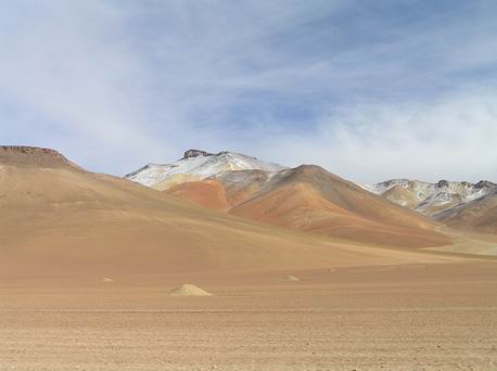
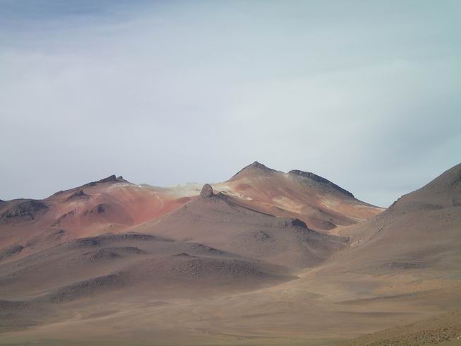
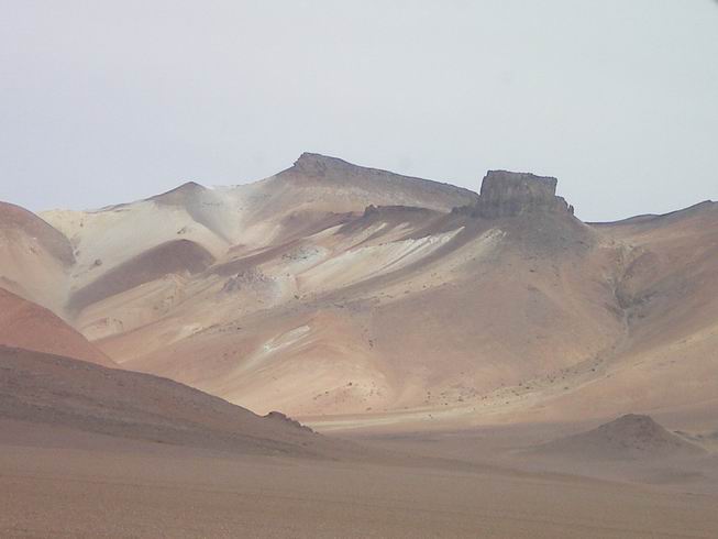
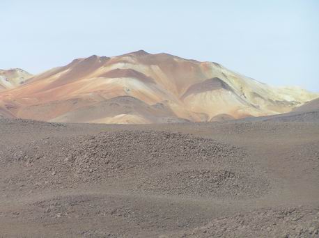
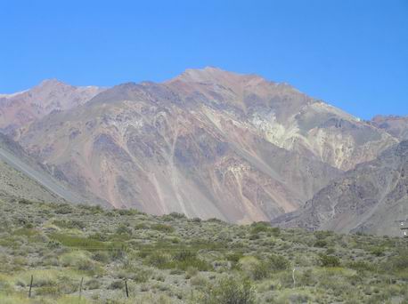
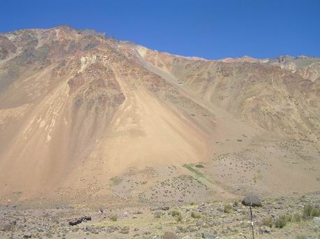
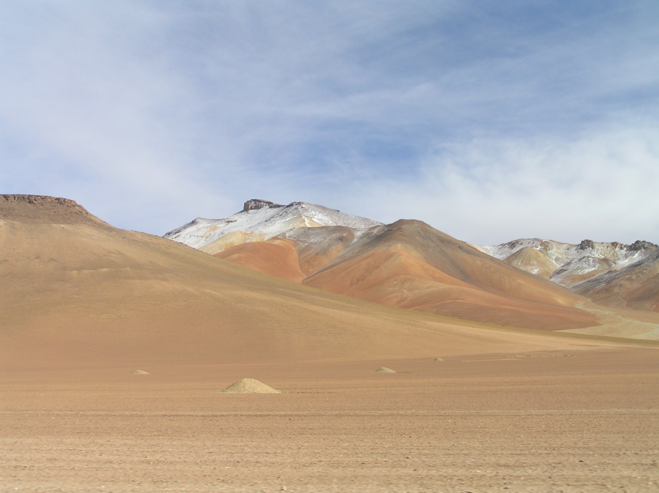
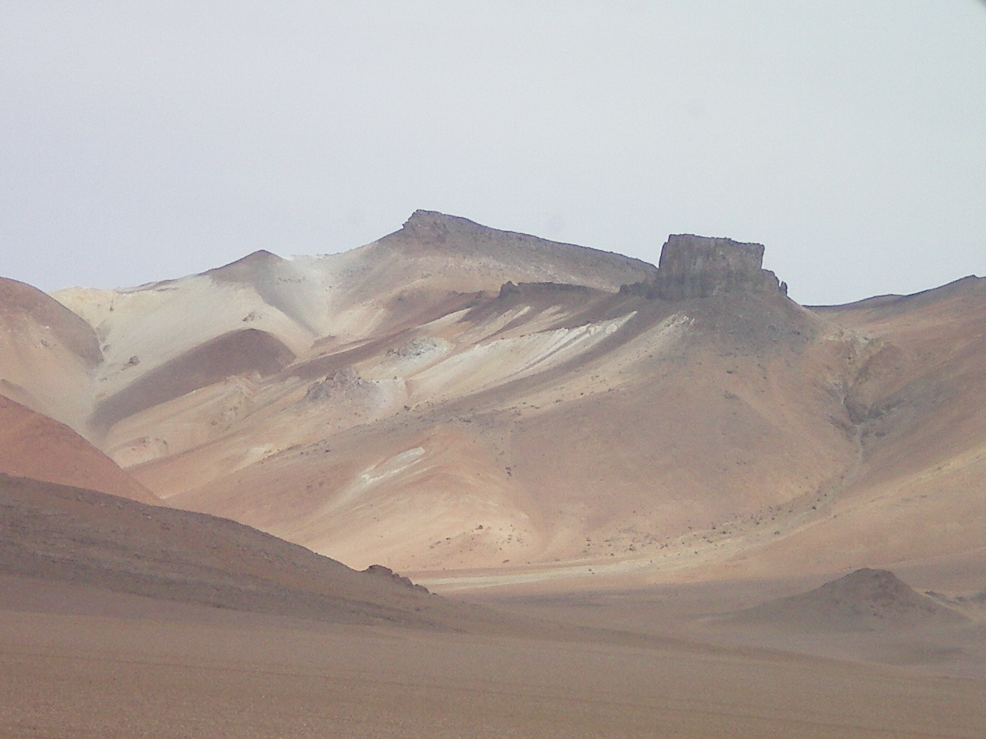
Colored rock due to minerals north of San Pedro De Atacama, Chile.
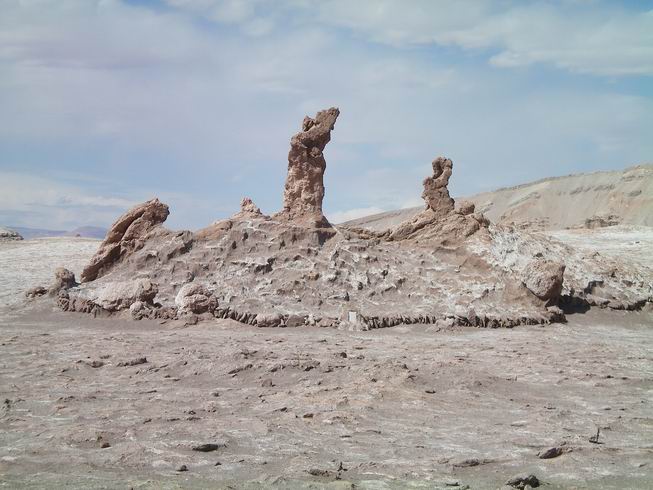
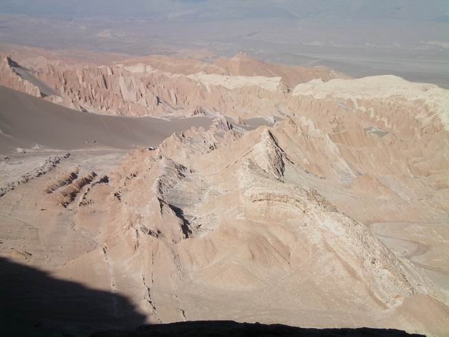
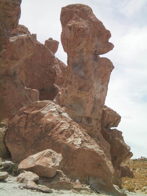
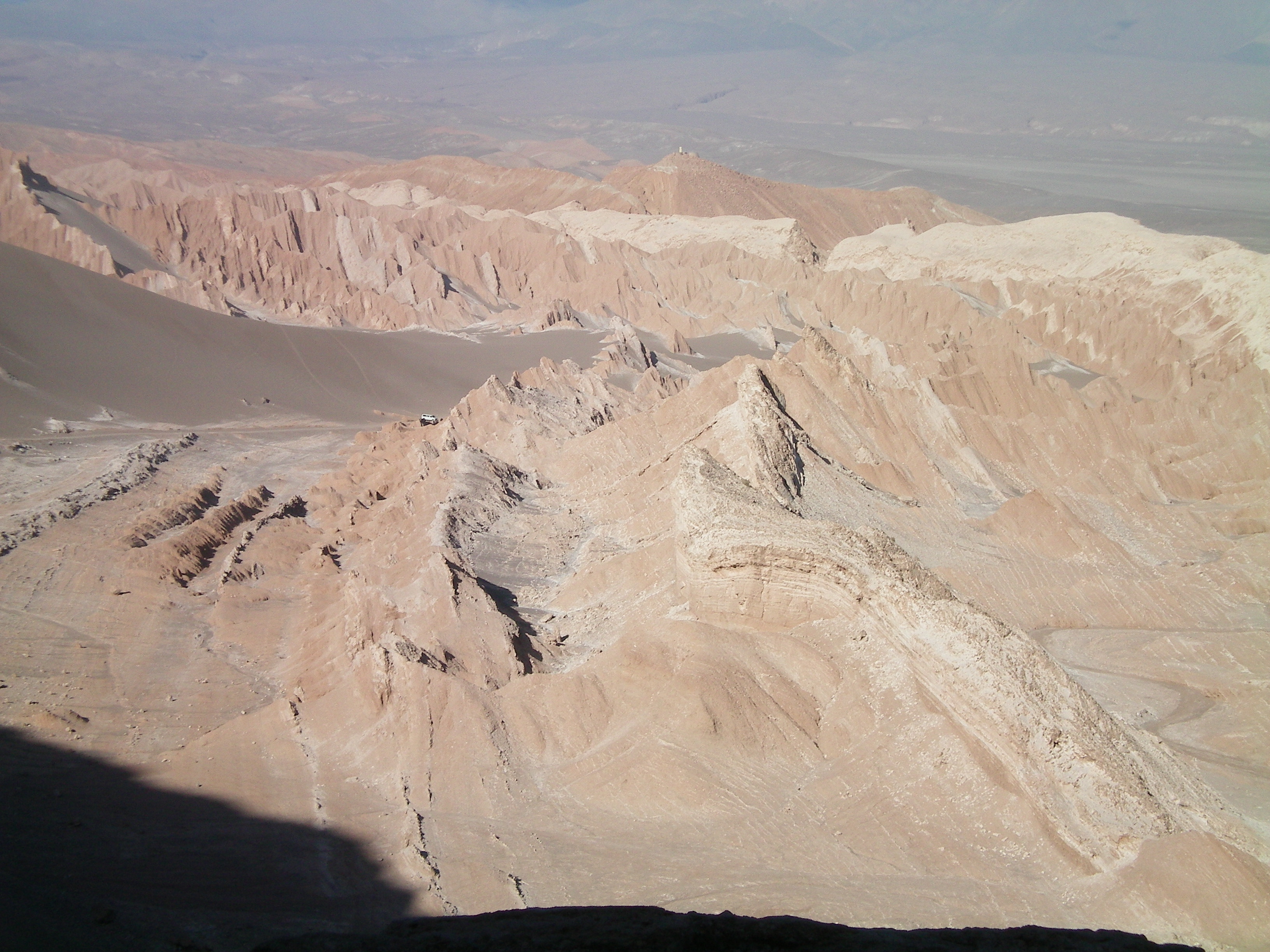
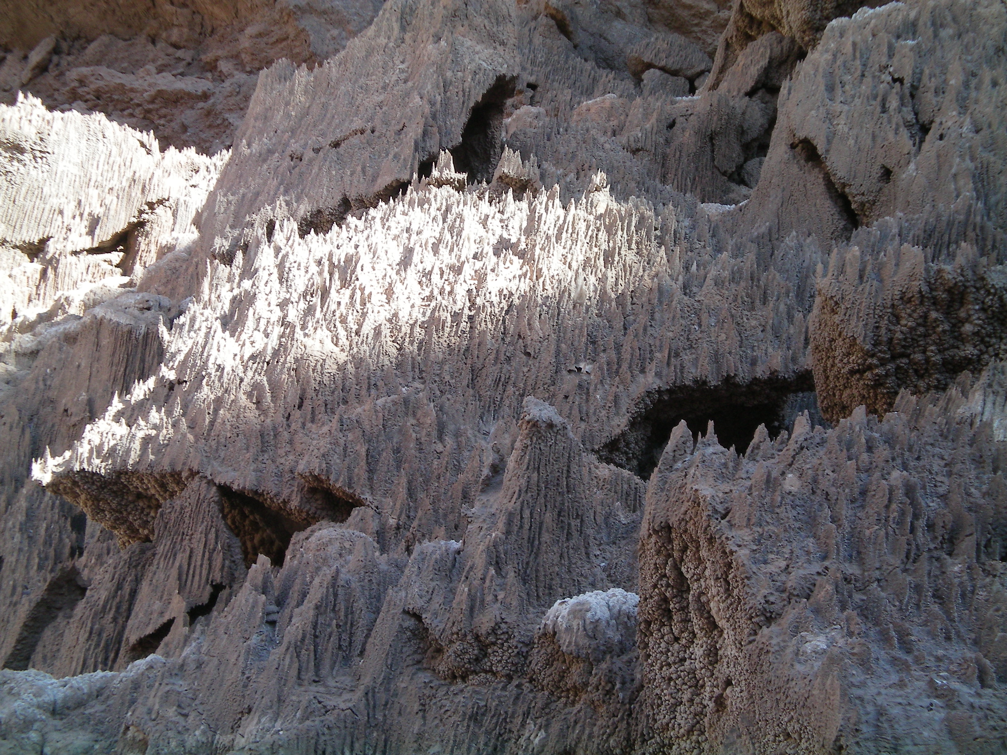
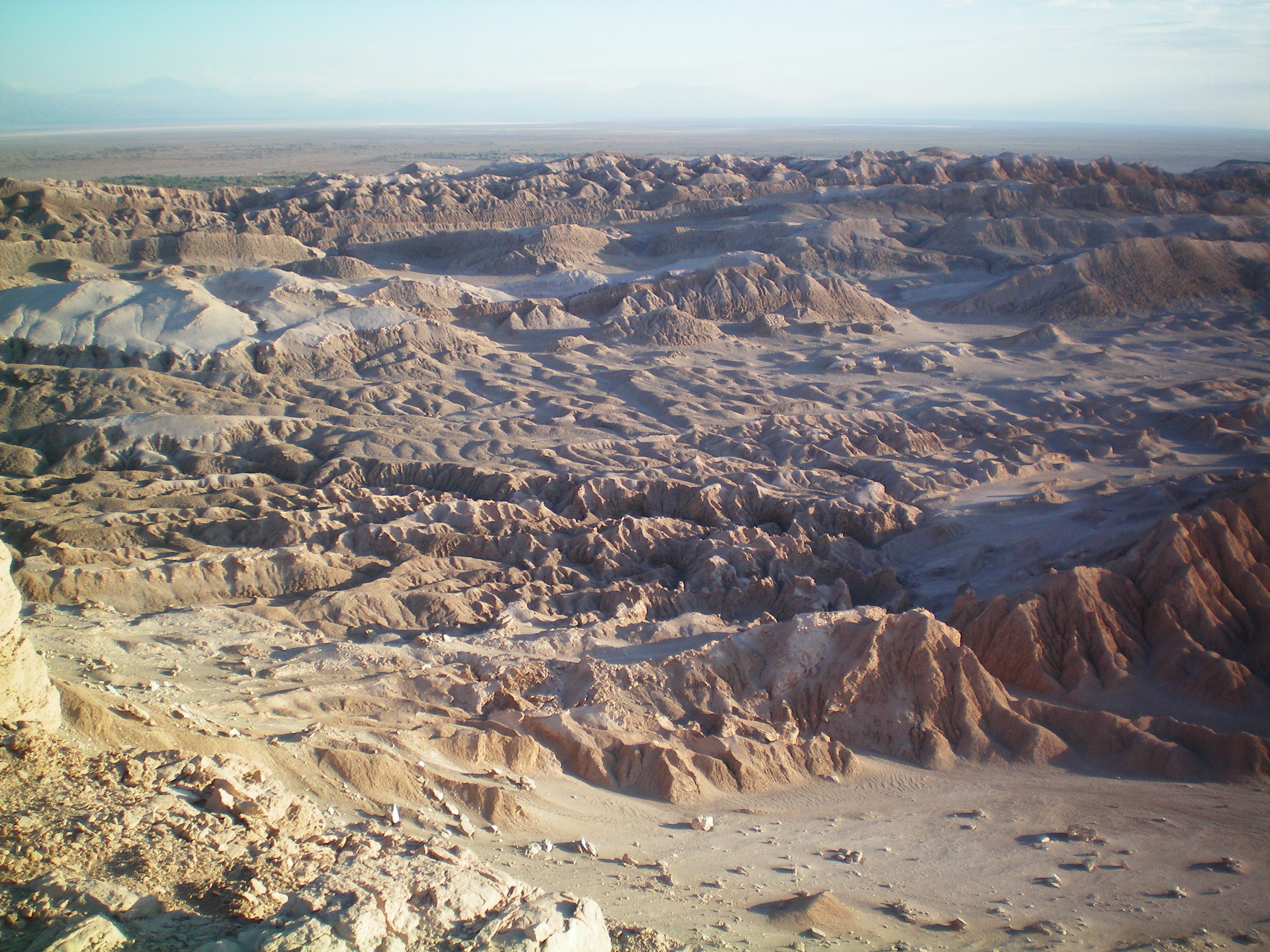
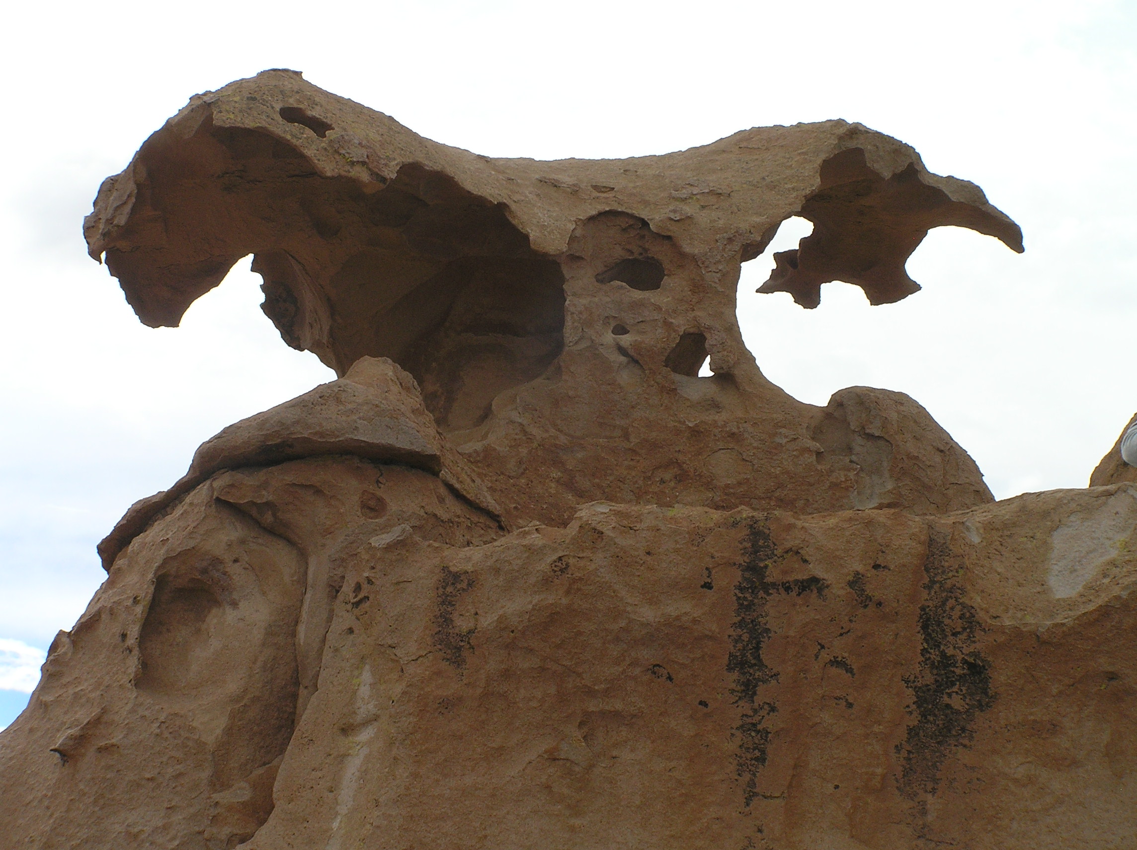
Rock formation in Lunar Valley near San Pedro De Atacama.
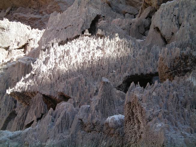
Rock formation in cave in Lunar Valley.
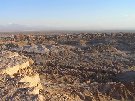
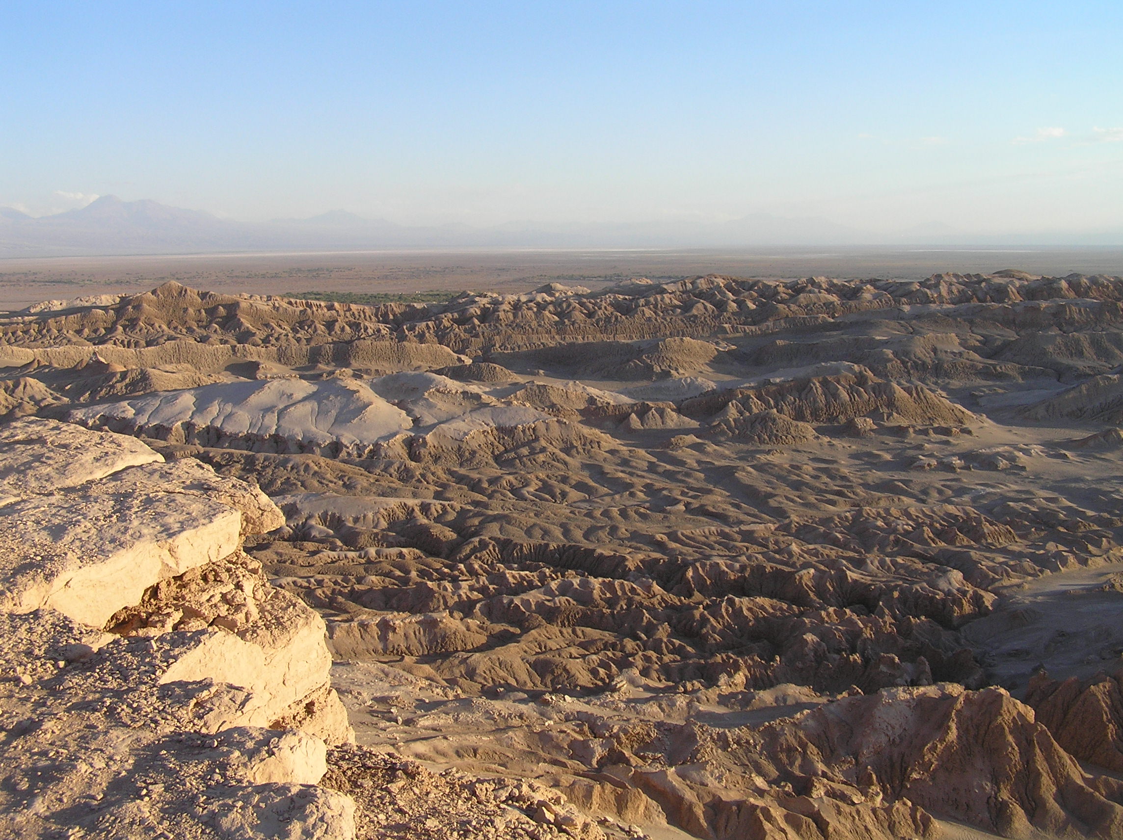
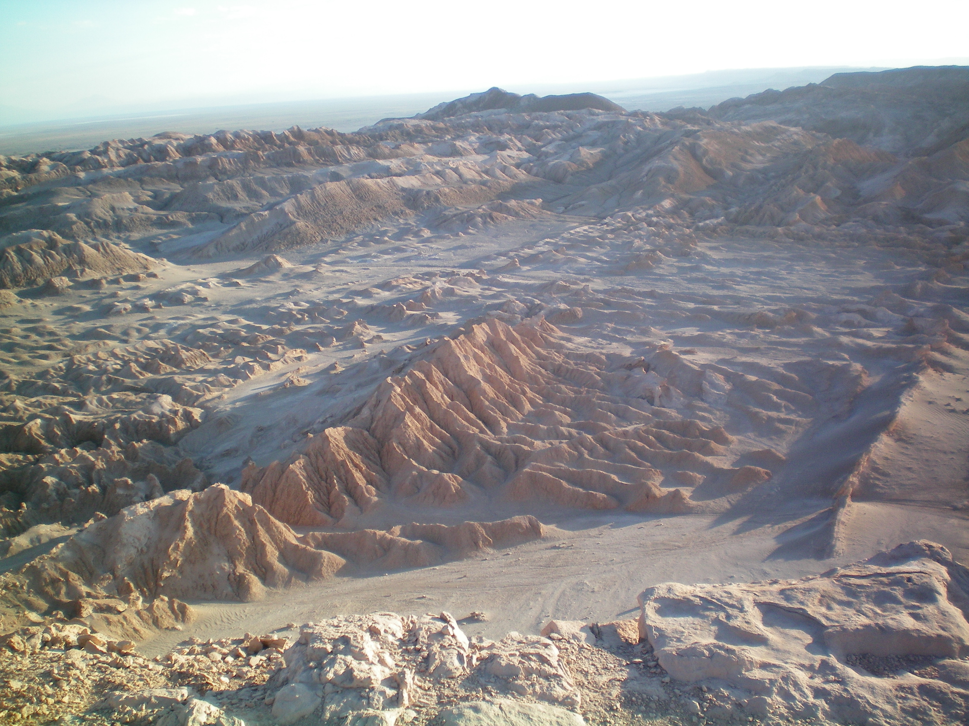
View of Lunar Valley near San Pedro De Atacama, northern Chile .

Different view of Lunar Valley.

Another view of Lunar Valley.
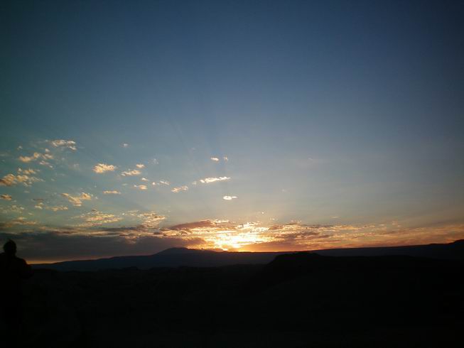
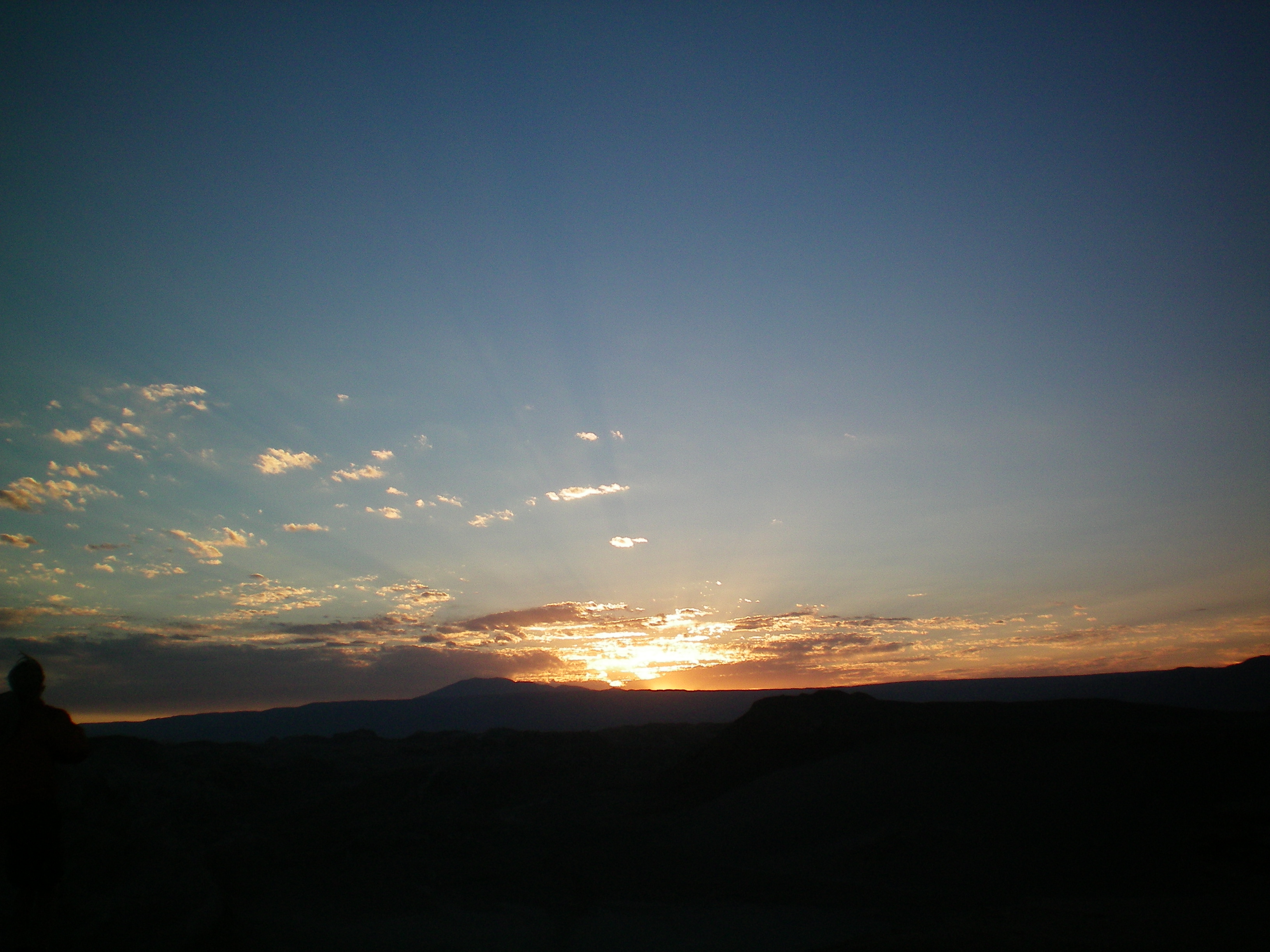
Sunset in Lunar Valley.
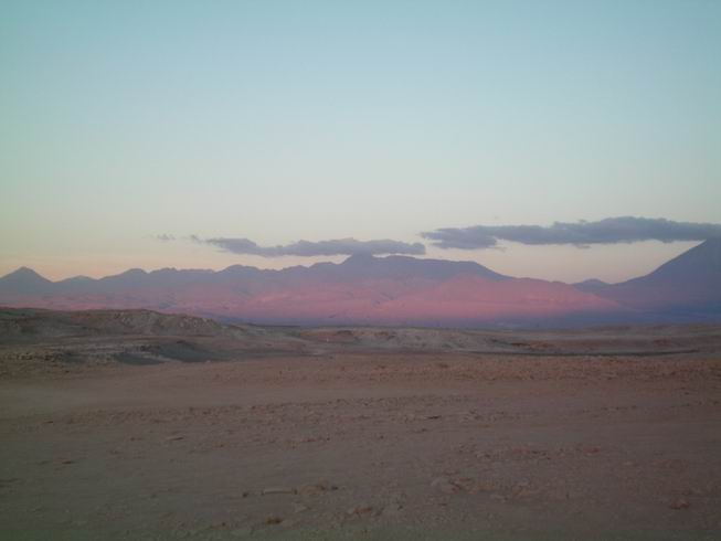
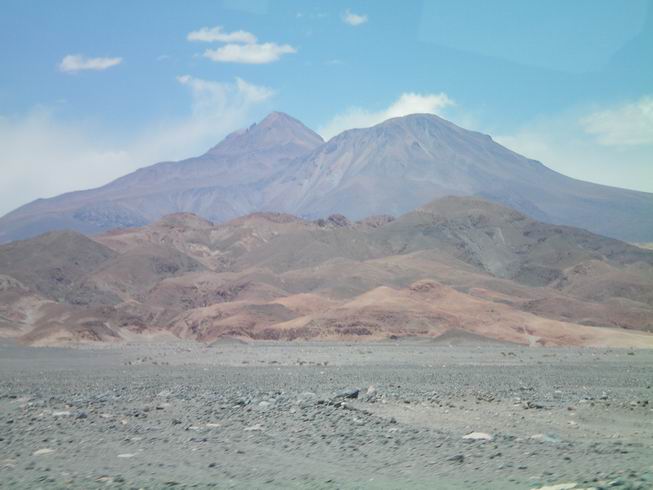
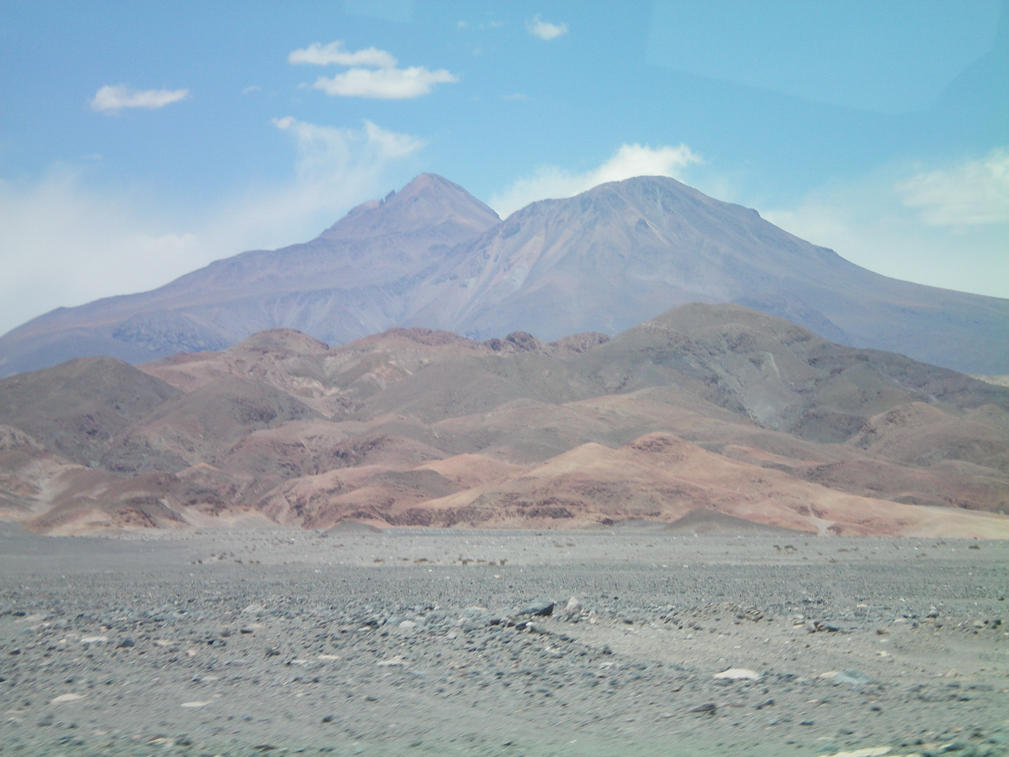
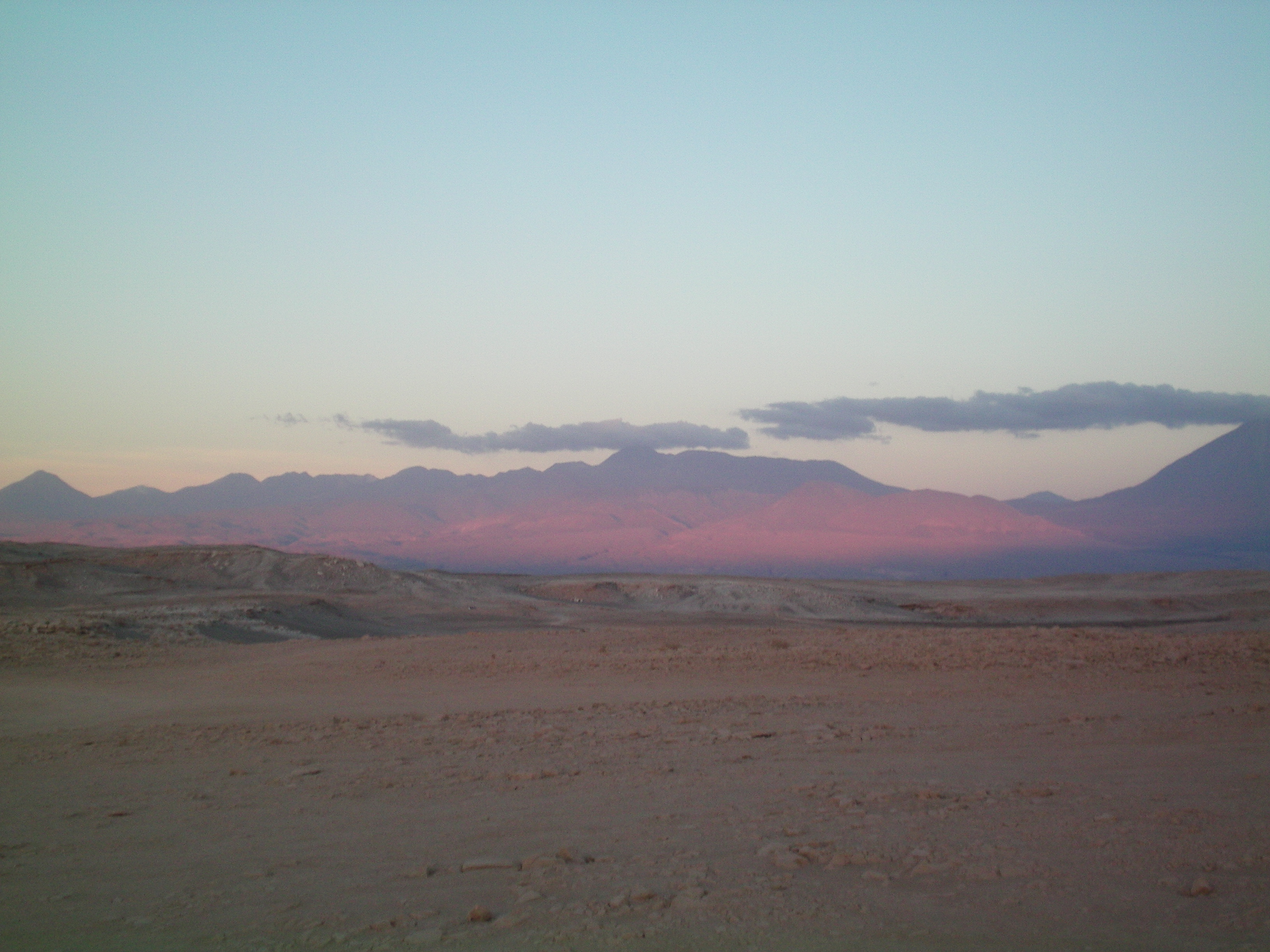
Mountains at sunset with red color likely due to the dust in the air refracting the light.

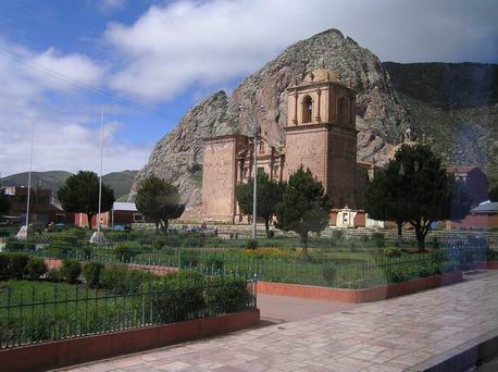
Church in the Plaza at San Pedro De Atacama, Northern Chile.
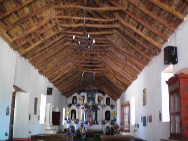
Much of the roof of the church is made of cactus wood, just the main poles are from trees.
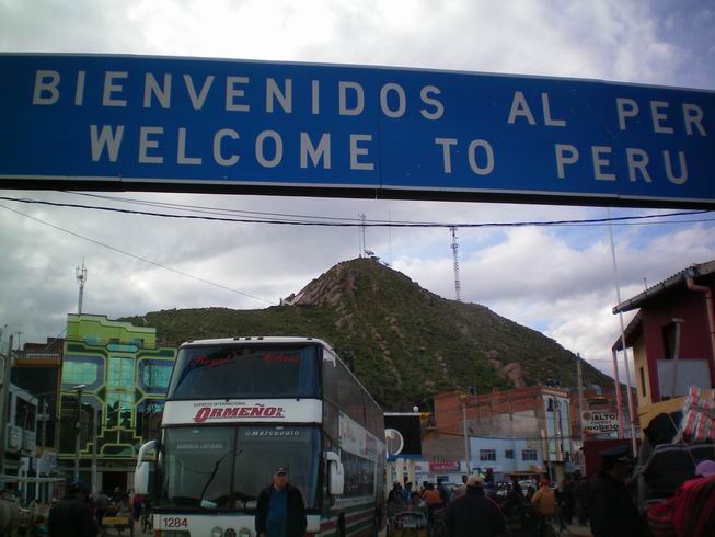
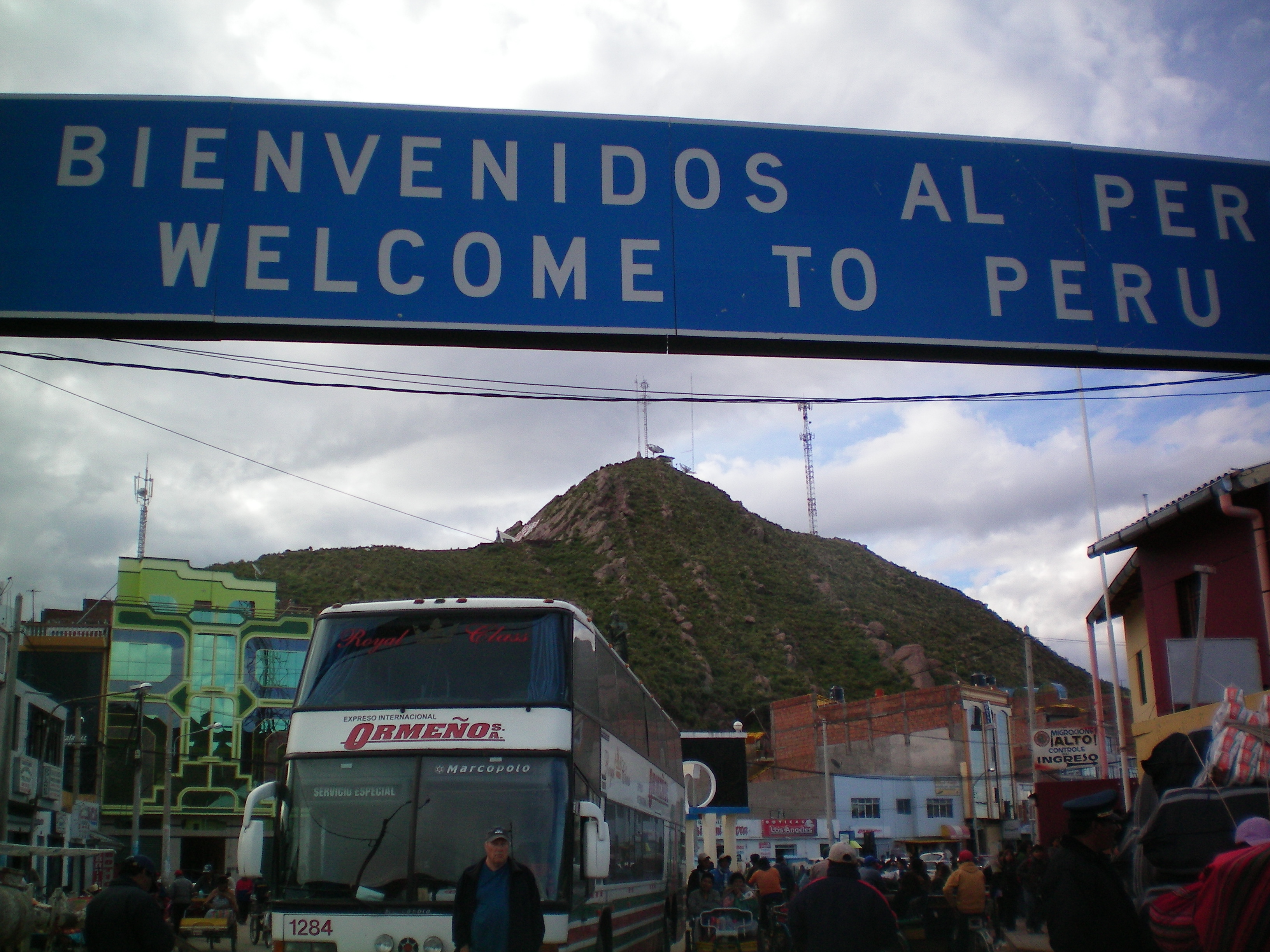
We used a taxi to cross for Arica, Chile to Tachana, Peru. While filing out the
Peru Imigration papers in the bus station at Arica one of our bags was stolen. It was right
by our feet but we were distracted enough with the paper work that someone managed to take one.
This picture was actually taken leaving Peru several days later but we wanted to show each
country we entered.
You can see Tachana, Peru is desert other than in a valley where there is some underground
water. We seem many of these neat signs made from black stone.
The contrast where things are watered and the desert. The taxi driver helped us with the
two borders, getting Peru money and our bus tickets. We met an American girl here from Washington
state and a back packer from Germany. We all traveled together for several days. She was the first
person we met from the USA in SA. we ended up only meeting a total of 5 people from the USA
in 68 days.
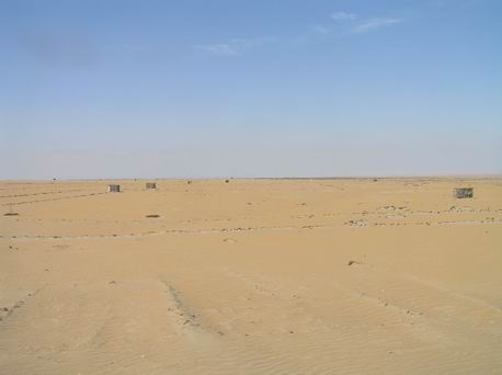
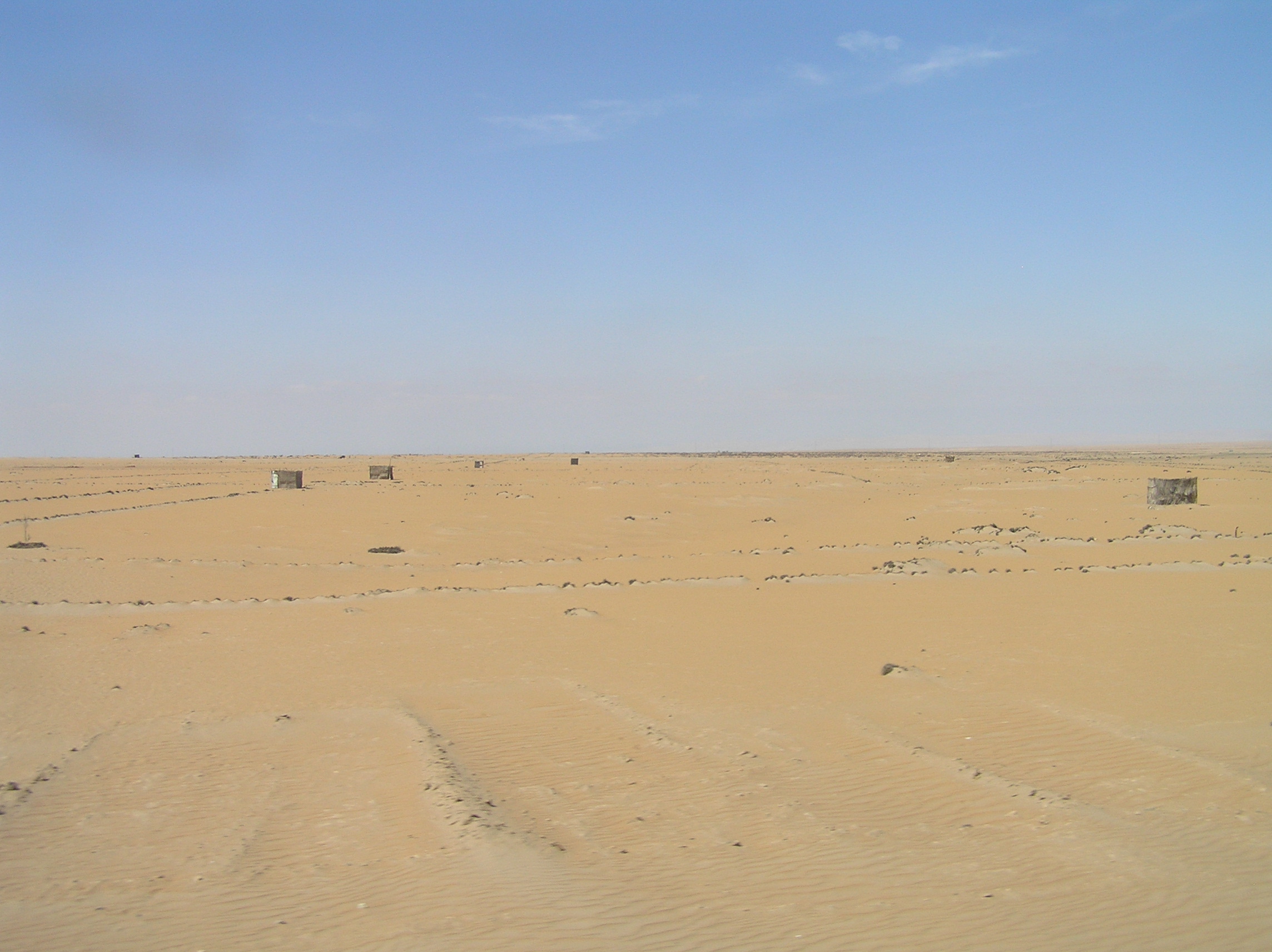
These are claim shacks to establish ownership of about a 5 acre plot on the desert.
Why someone would want it I don't know unless there is a chance of irrigation some day.
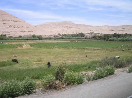
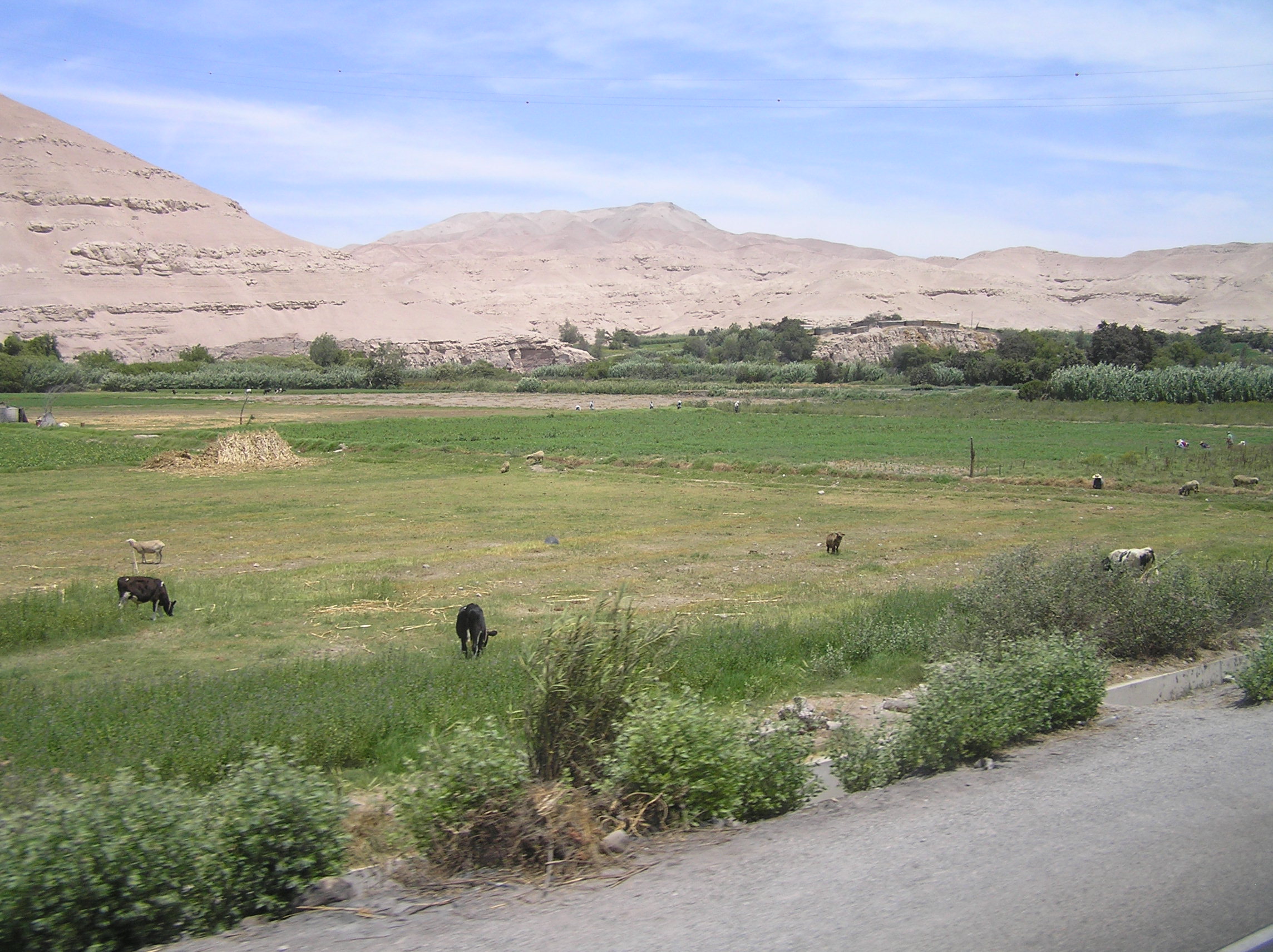
As we went north in Peru you can see the valleys had some water available but out of
the valley's it was desert.
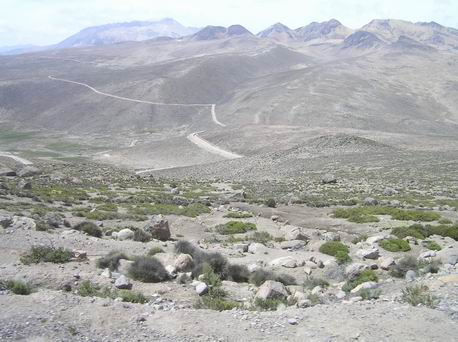
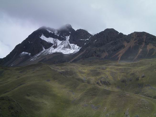
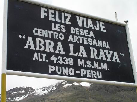
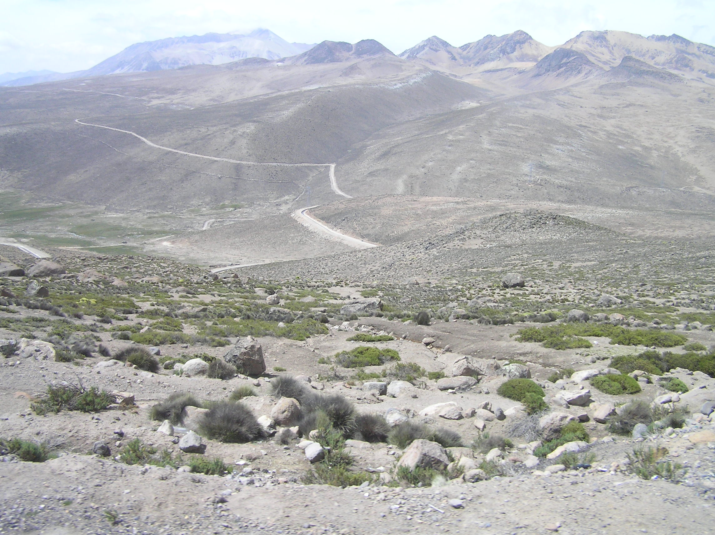
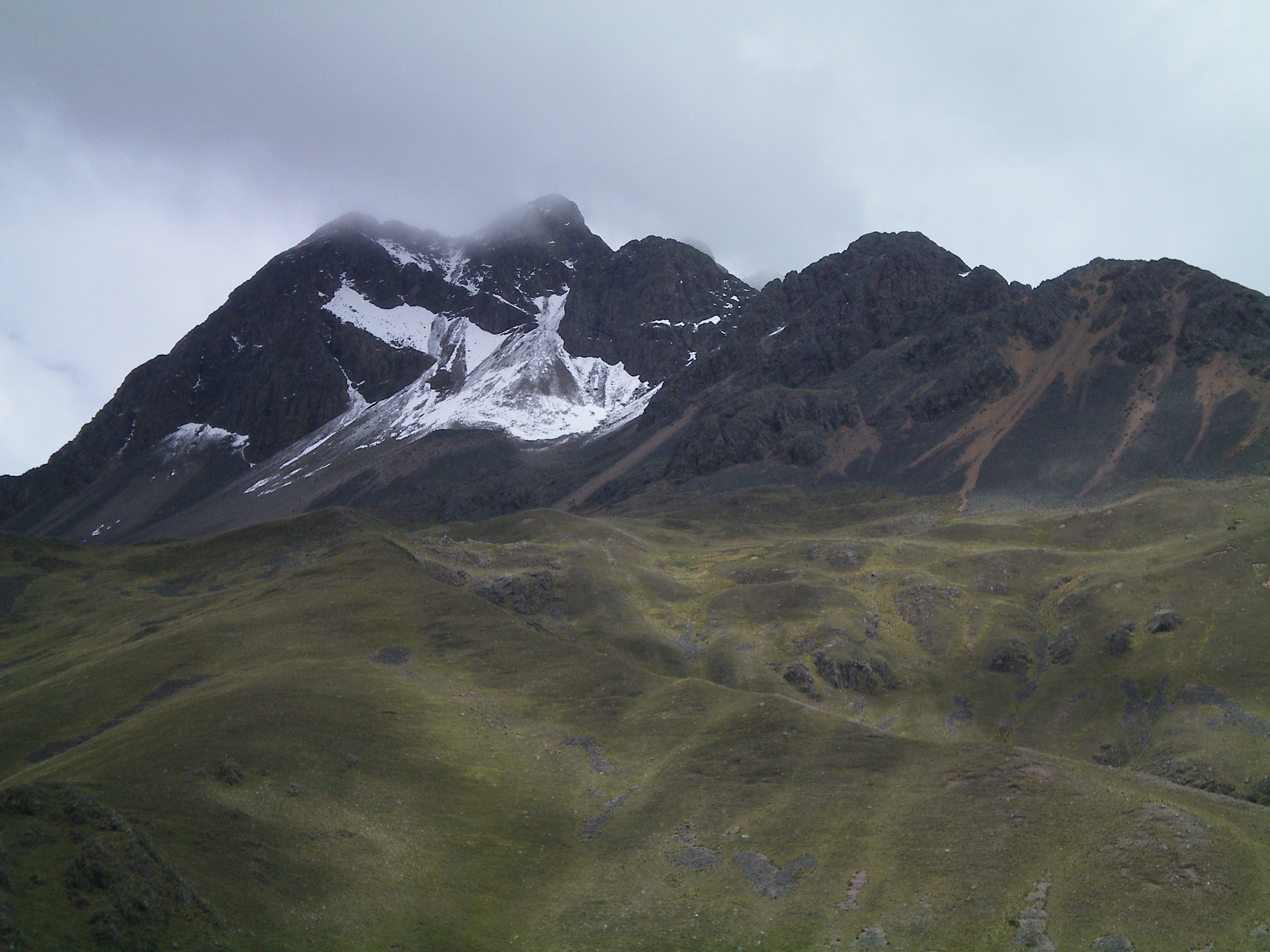
This is high country south of Puno. The altitude is 11000-12000 feet.
More of the high country. It was cool and gets very cold in the winter time.
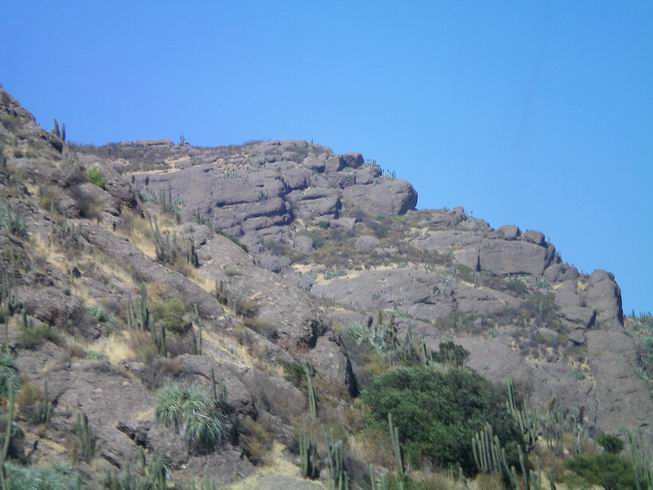
The colored rock on the mountains are due to minerals.
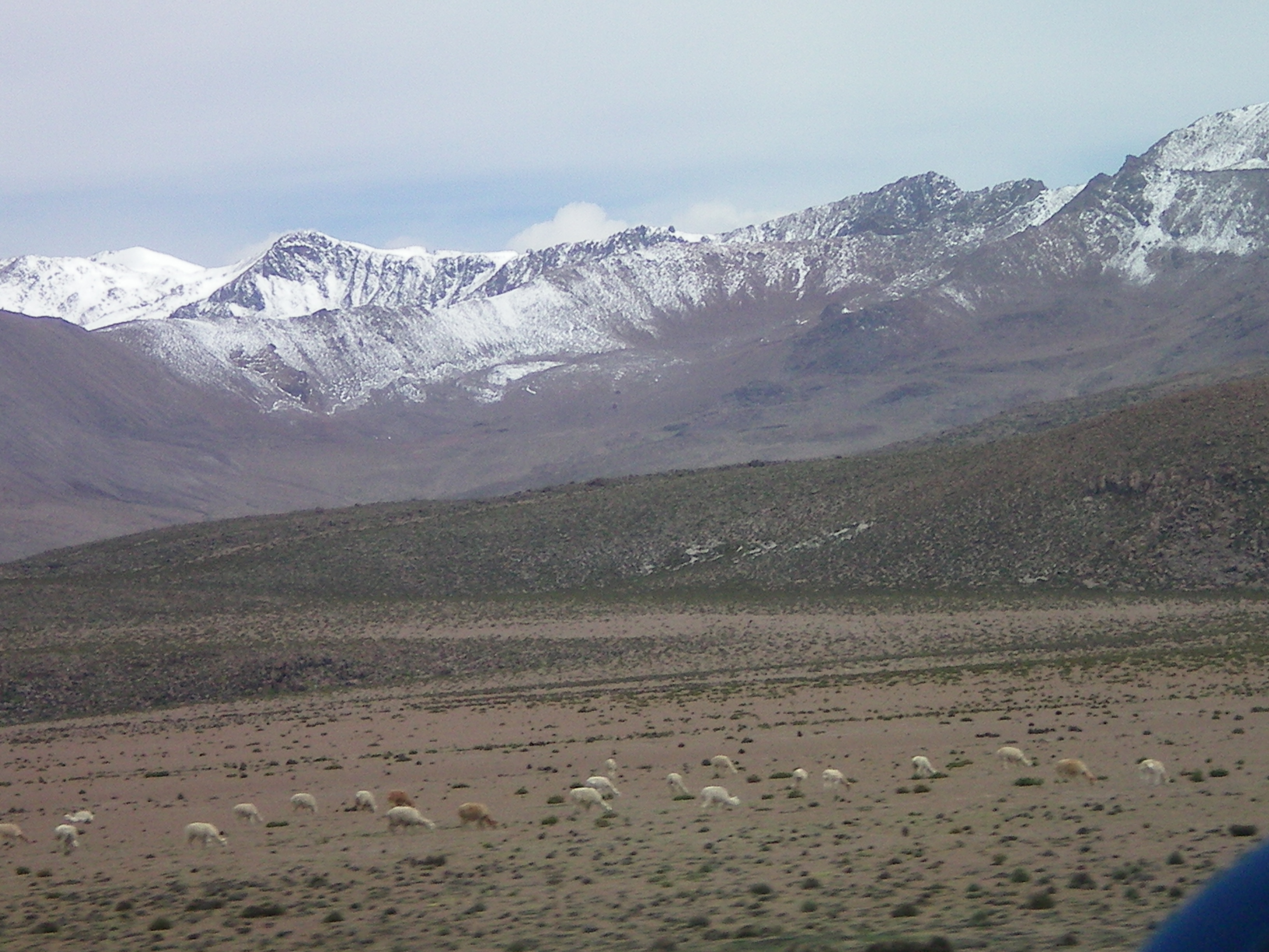
Lots of snow on the mountains for summer time.
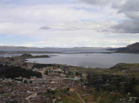
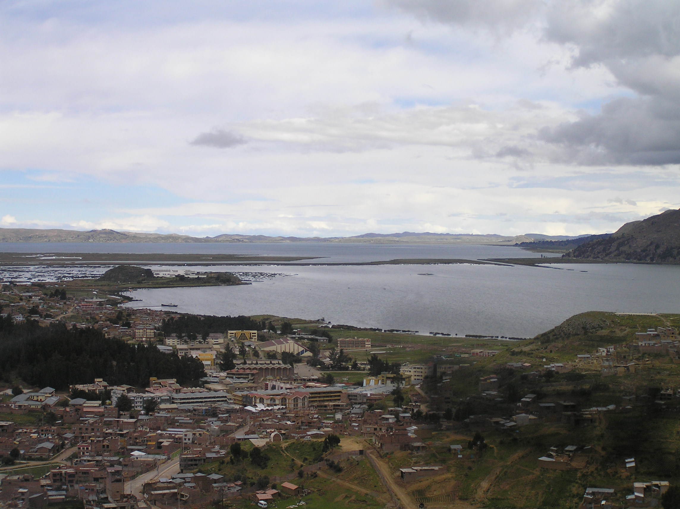
A view of Puno and Lake Titikaka which is the highest lake in the world where
there is commercial naviagation. The lake is over 100 miles long. Puno is at a very high
altitude at 12000 feet and we could really notice it. It was a decent town with 150000 people and
you could get pretty much anything you wanted. We got a number of things to replace what had
been stolen. There is a thriving black market in a section of town. It is illegal to bring the
things in but once the things are in town it is perfectly legal.
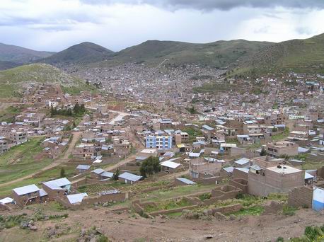
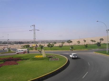
Another view of Puno.

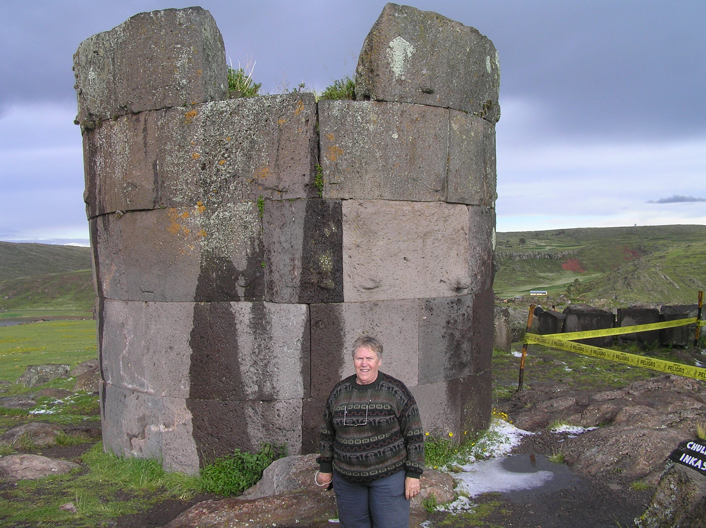
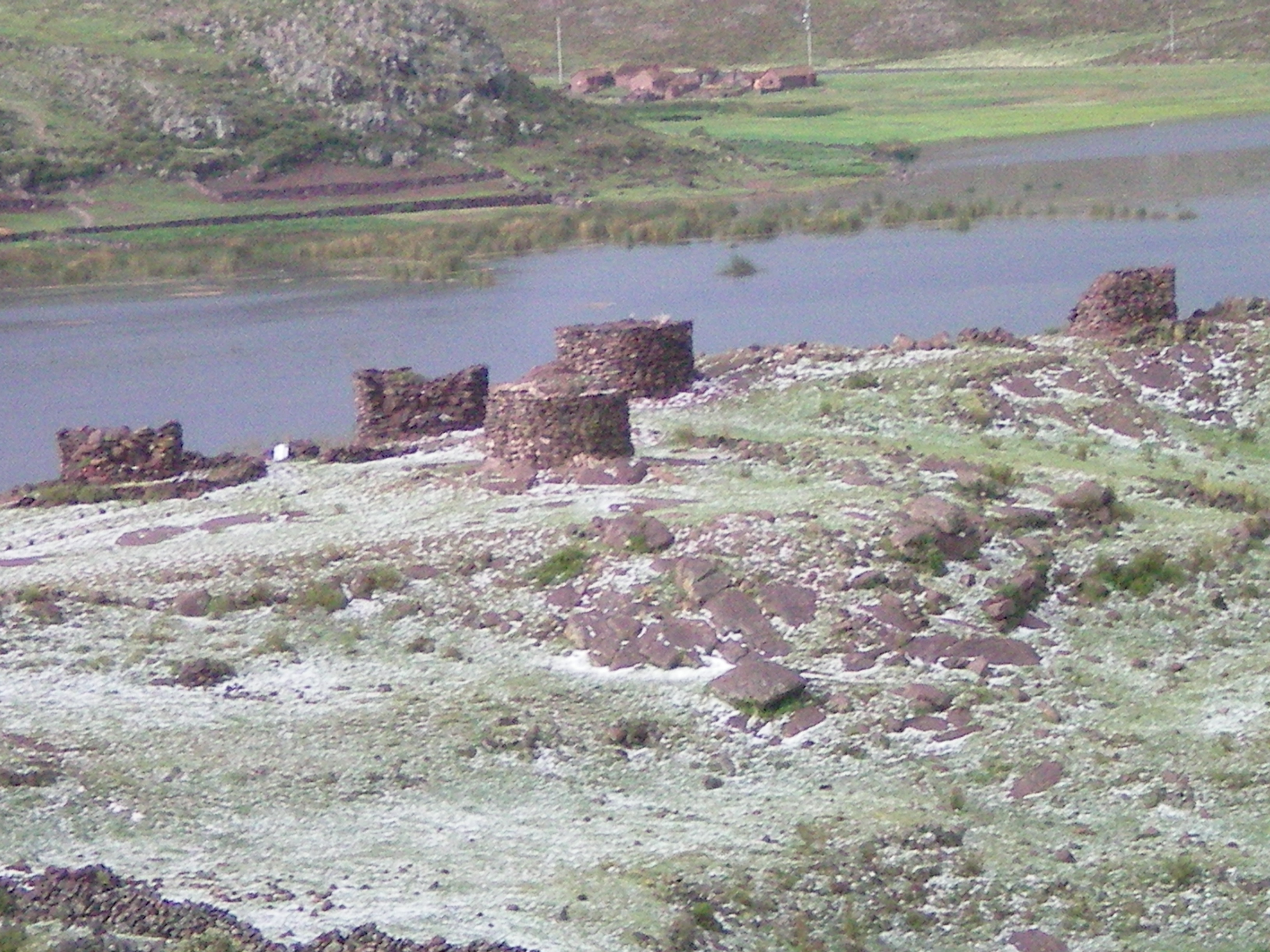
We took a tour went to Sillustani on laguna Umayo peninsula. These are ancient funeral
towers and you can get more information by doing a Google search
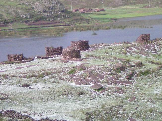
More funeral towers, these are Pre-Inca.

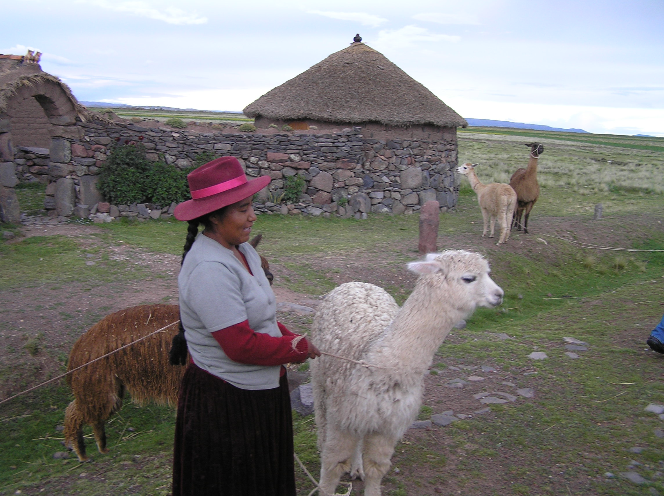
We visited a Peru family on the tour. It was very real and not a tourist stop.
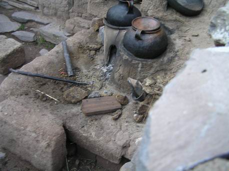
Cooking, the kitchen at the house of the family we visited.
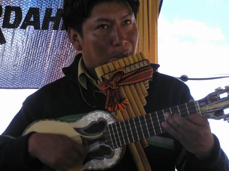
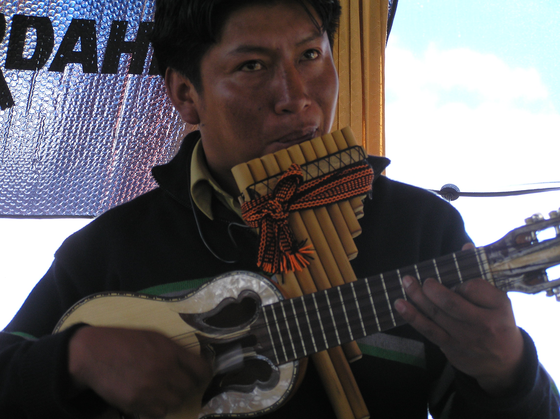
A one man Peru band.
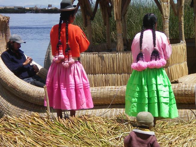
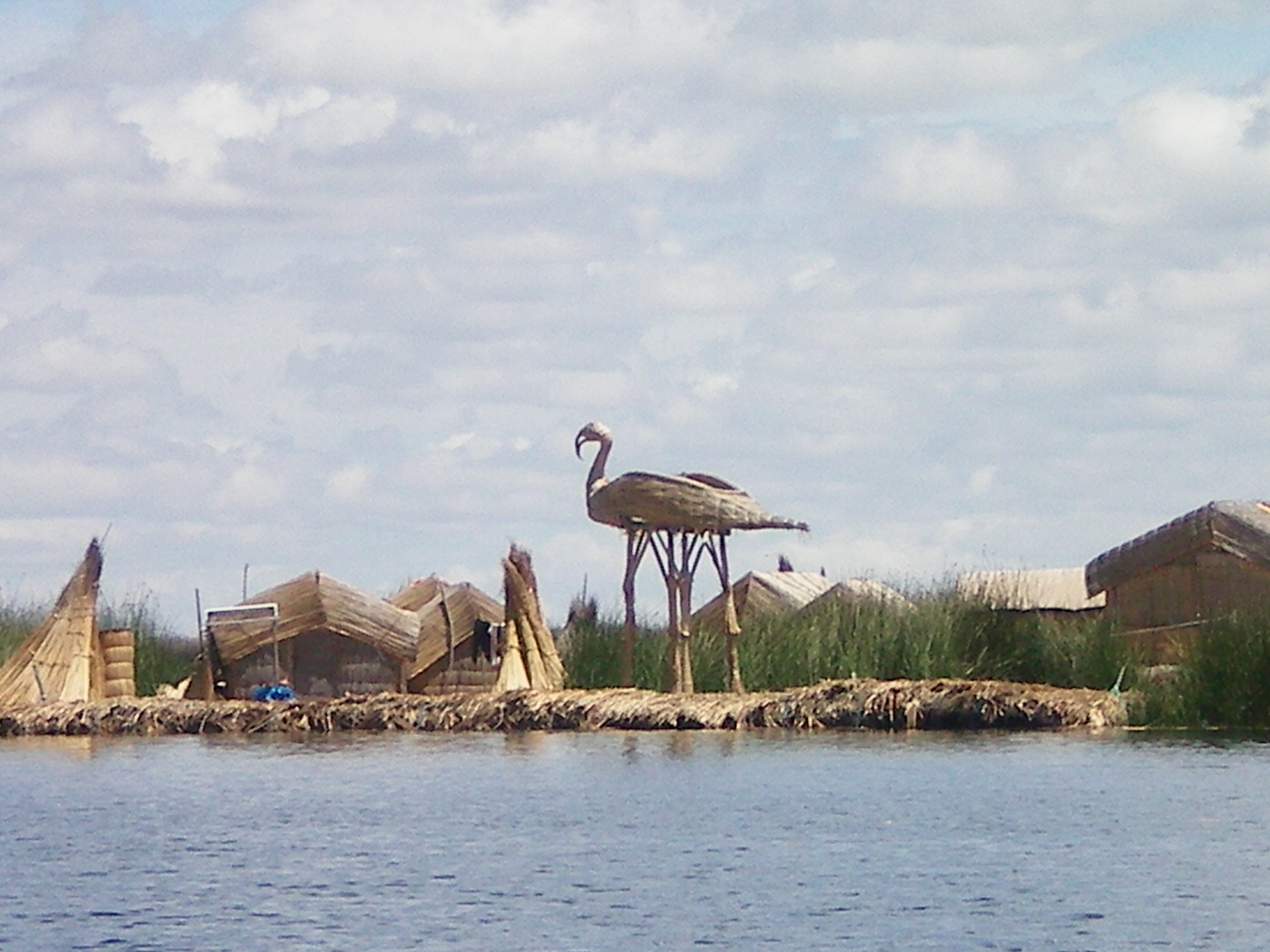
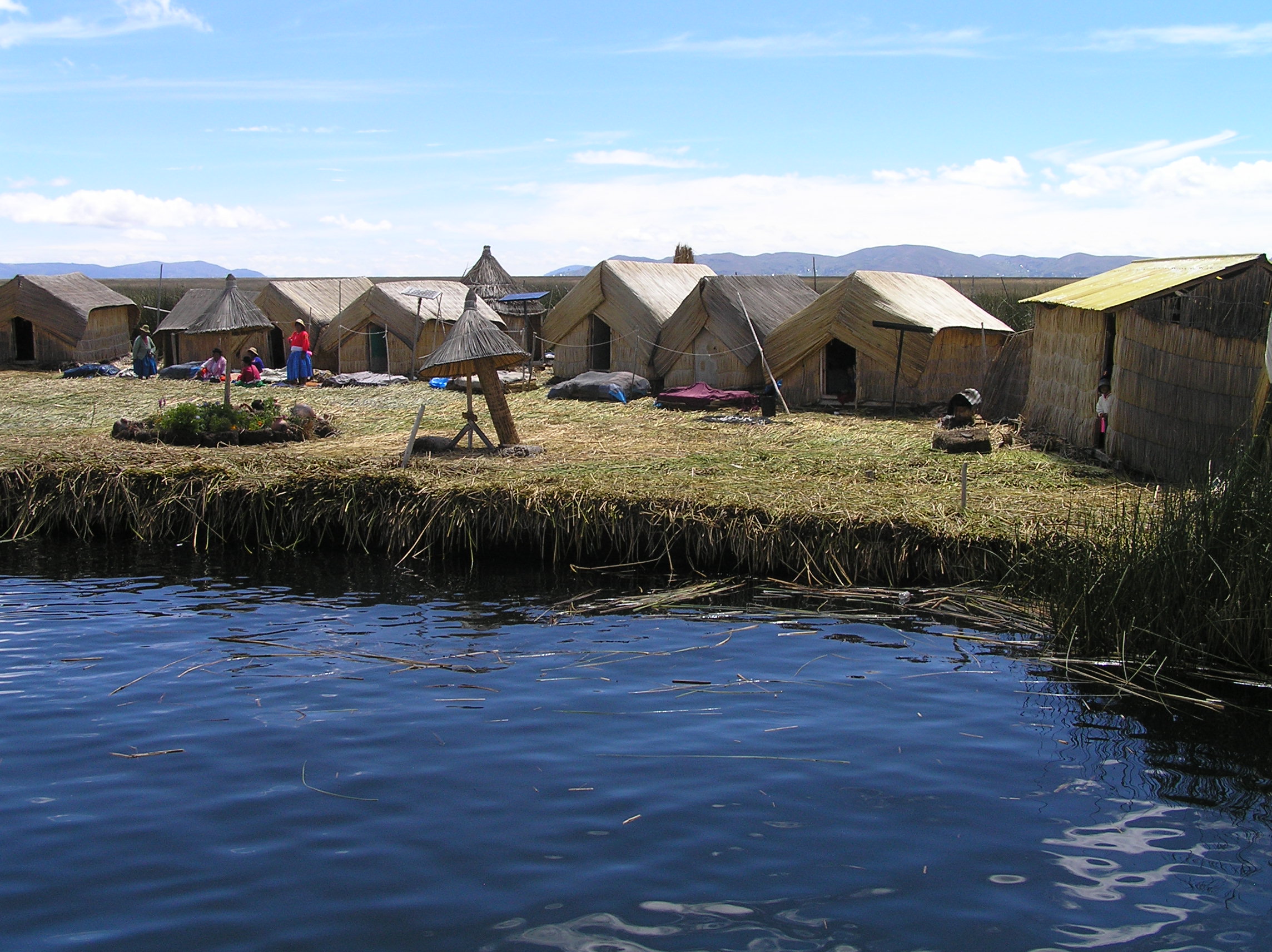
Visit to the famous floating islands on Lake Titikaka. They are made out of reeds. The
ones close to Puno are a tourist attraction but many farther out on the islands live on
them all the time and trade fish they catch for other things they need.
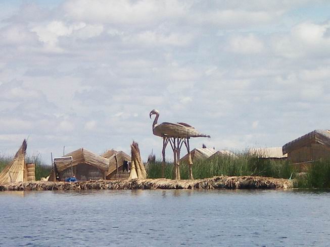
The floating islands on Lake Titikaka and some of the things they make from the reeds.
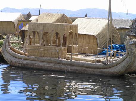
This boat was for real and is used to travel between islands.
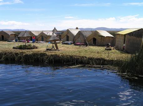
A good picture of what and island was like. None of them are real large. They anchor
them so they don't float to a different place.
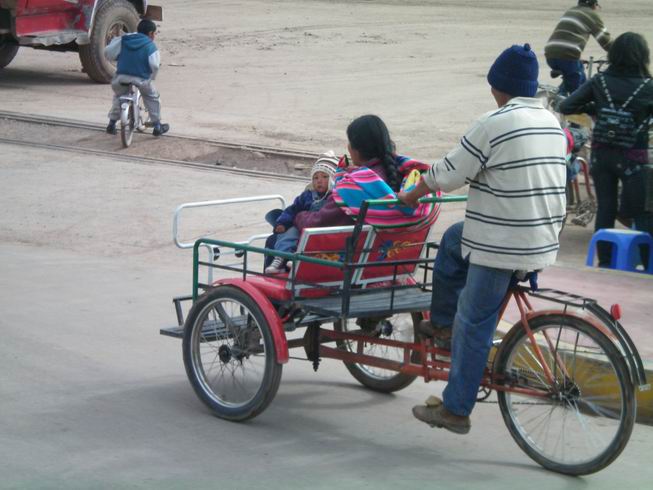
There are a lot of these in Puno and also a covered motorize version that can be very
fancy built around a motor cycle. In some countries these are called Tuk Tuk. They give
cheap fares but are very dangerous becuause if there is an accident you are not going to
fare well.
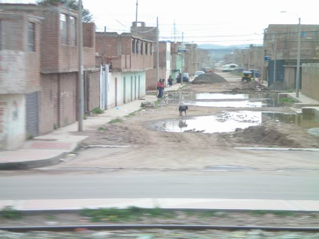
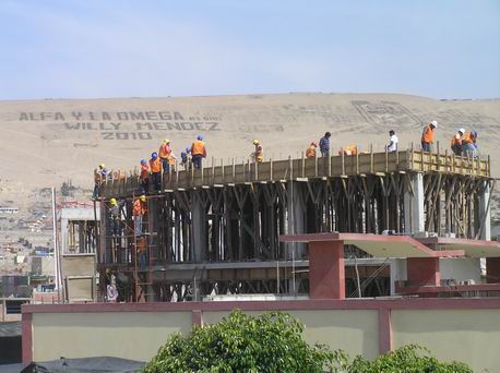
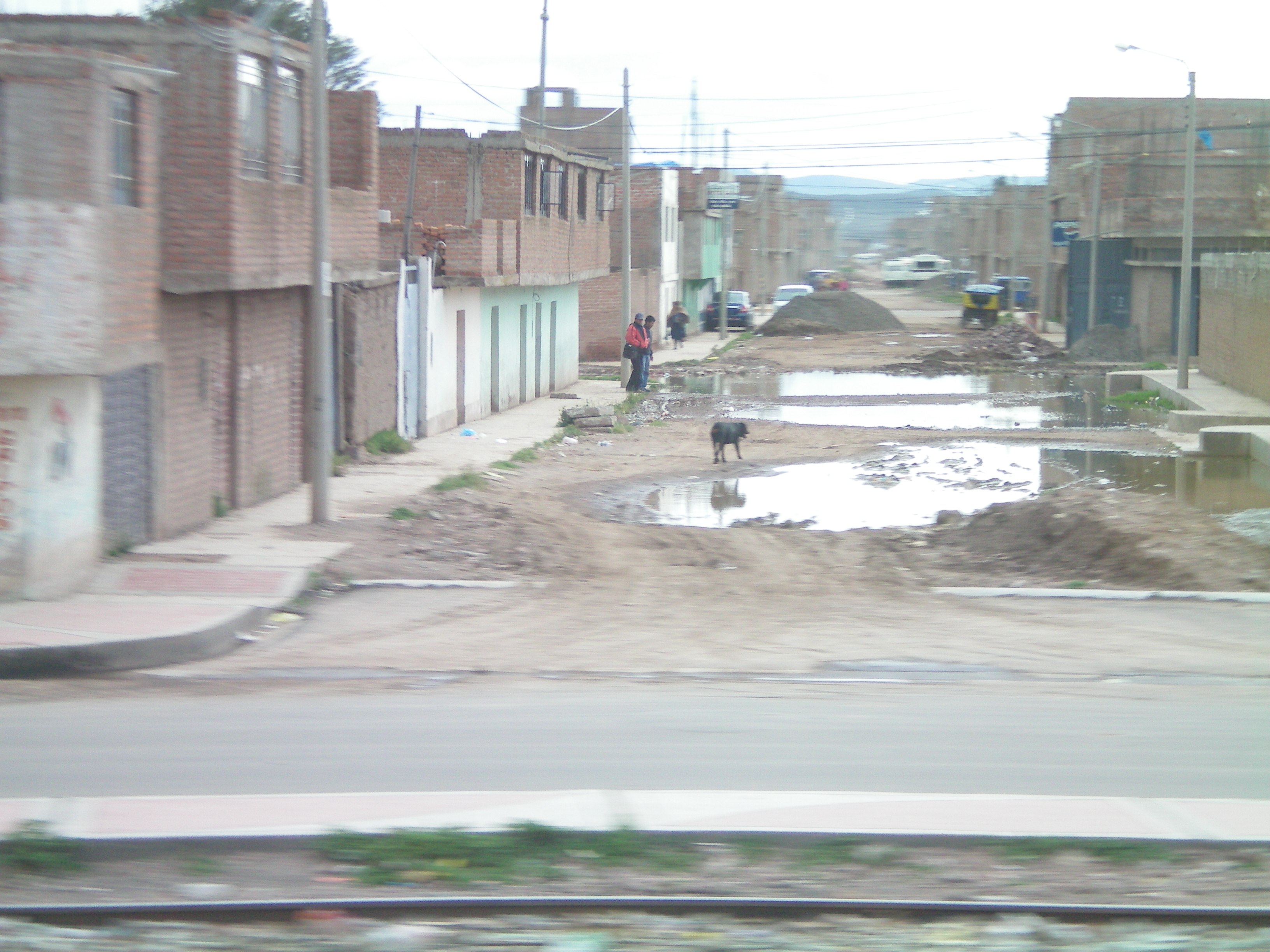
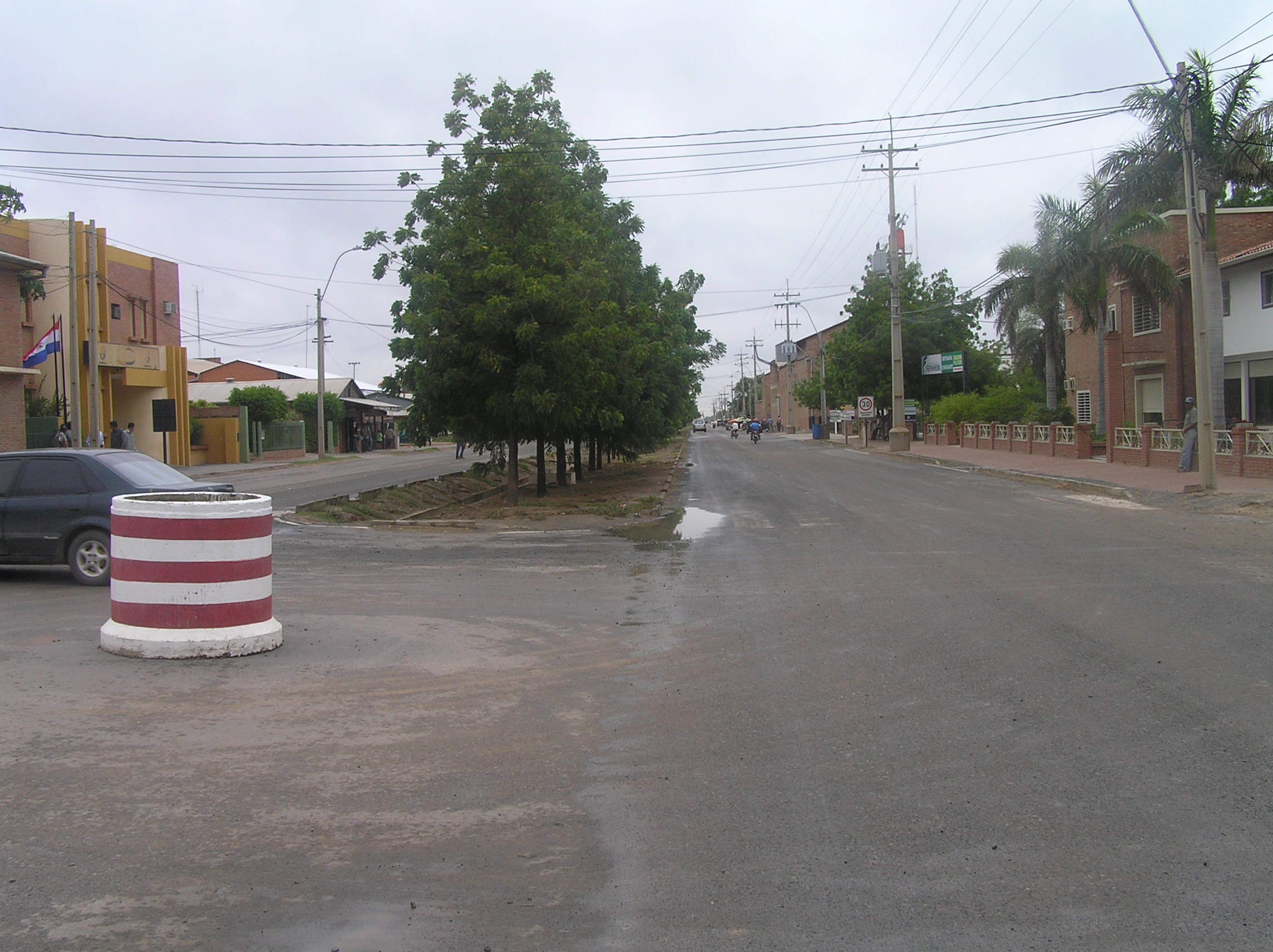
A street under construction with pretty typical buildings.

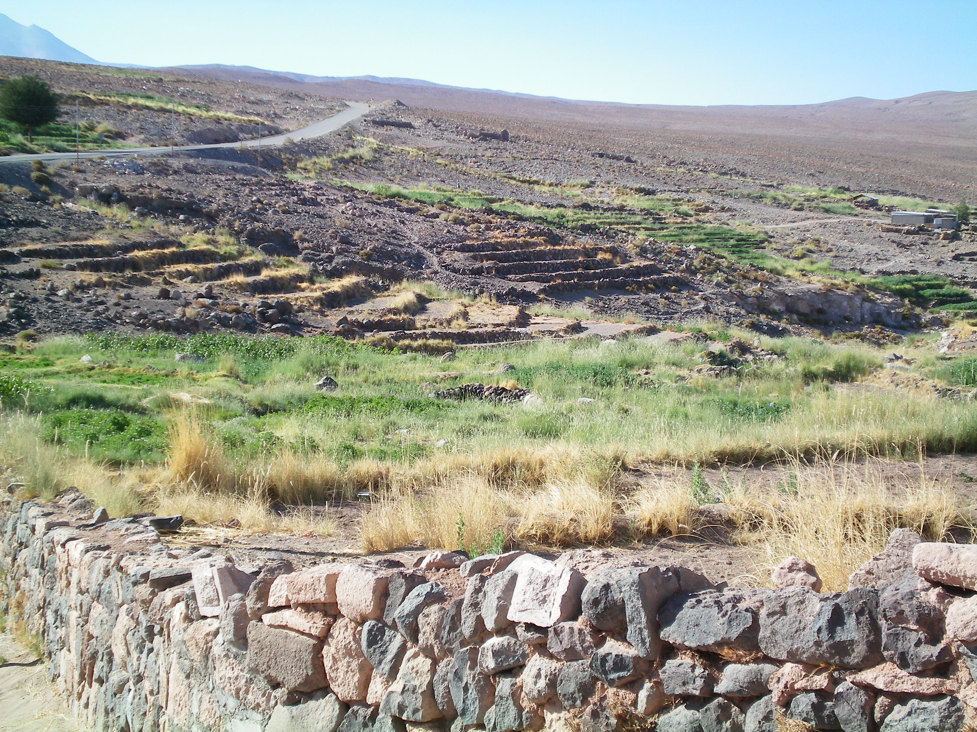
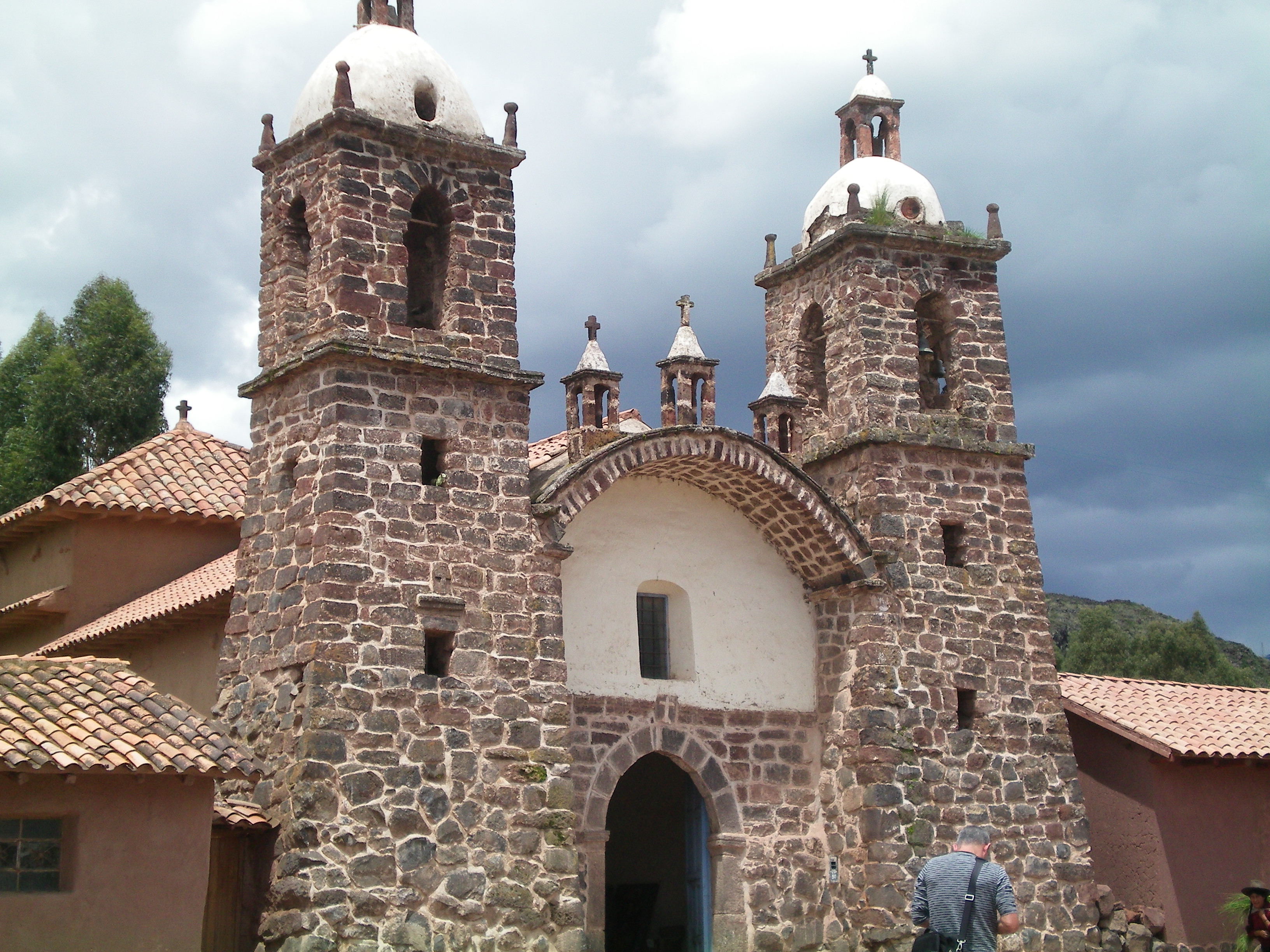
Inca and Pre-Inca terraces out side of Puno.
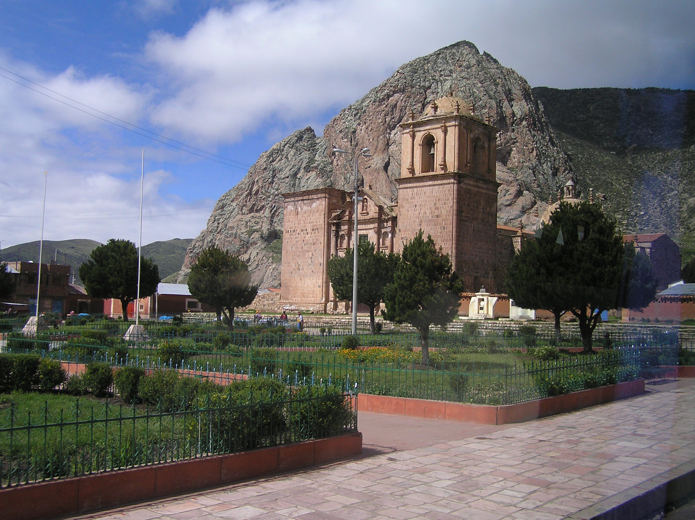
An old church. We took the Inca Express bus tour which
runs between Puno and Cusco. For more details on what we seen on this tour you can do a search
for Inca Express Bus tour, Cusco.
This was in the high country between Puno and Cusco.

Another tour stop.
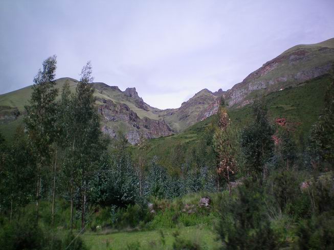
Pretty typical scenery as we got closer to Cusco.
This should be Pulcara a Pre-Inca site on the Inca Express tour.
This is the highest elevation on the way between Puno and Cusco.
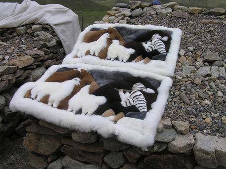
Made for baby Alpaca wool.
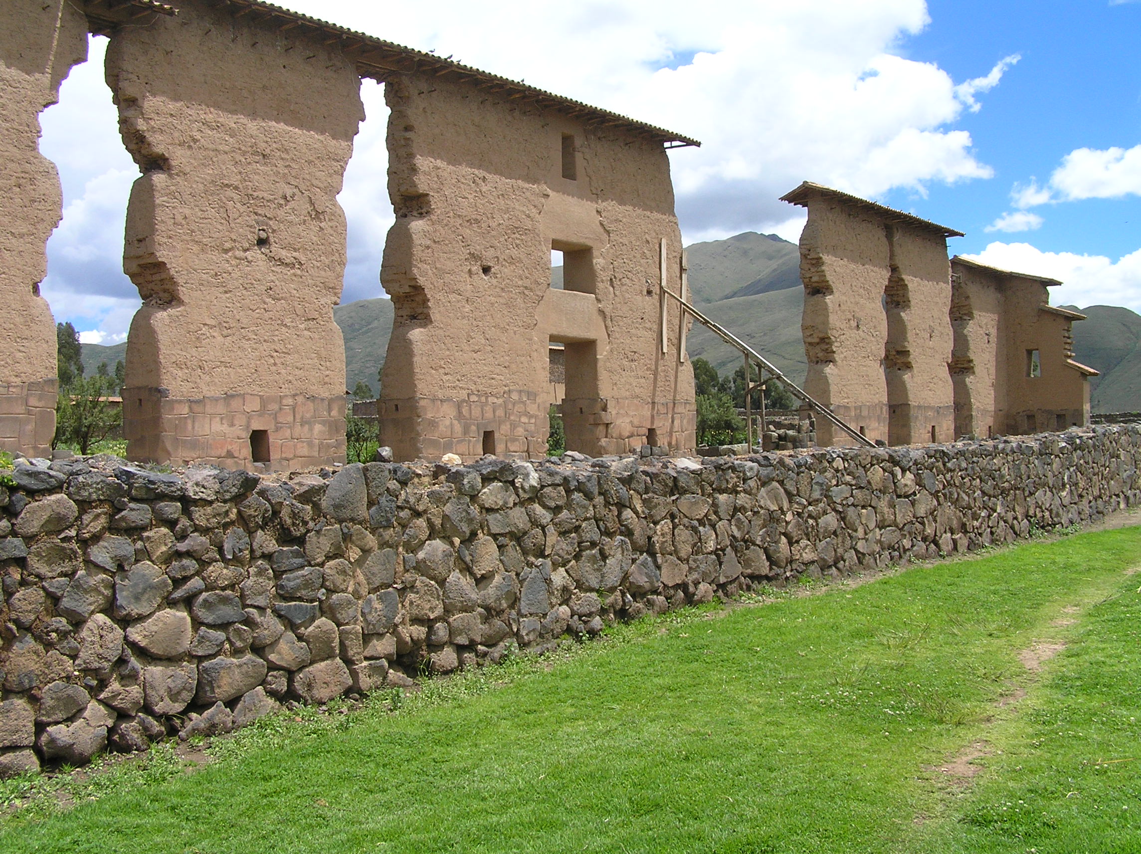
Pre-Inca and Inca site. They commonly built on old sites.

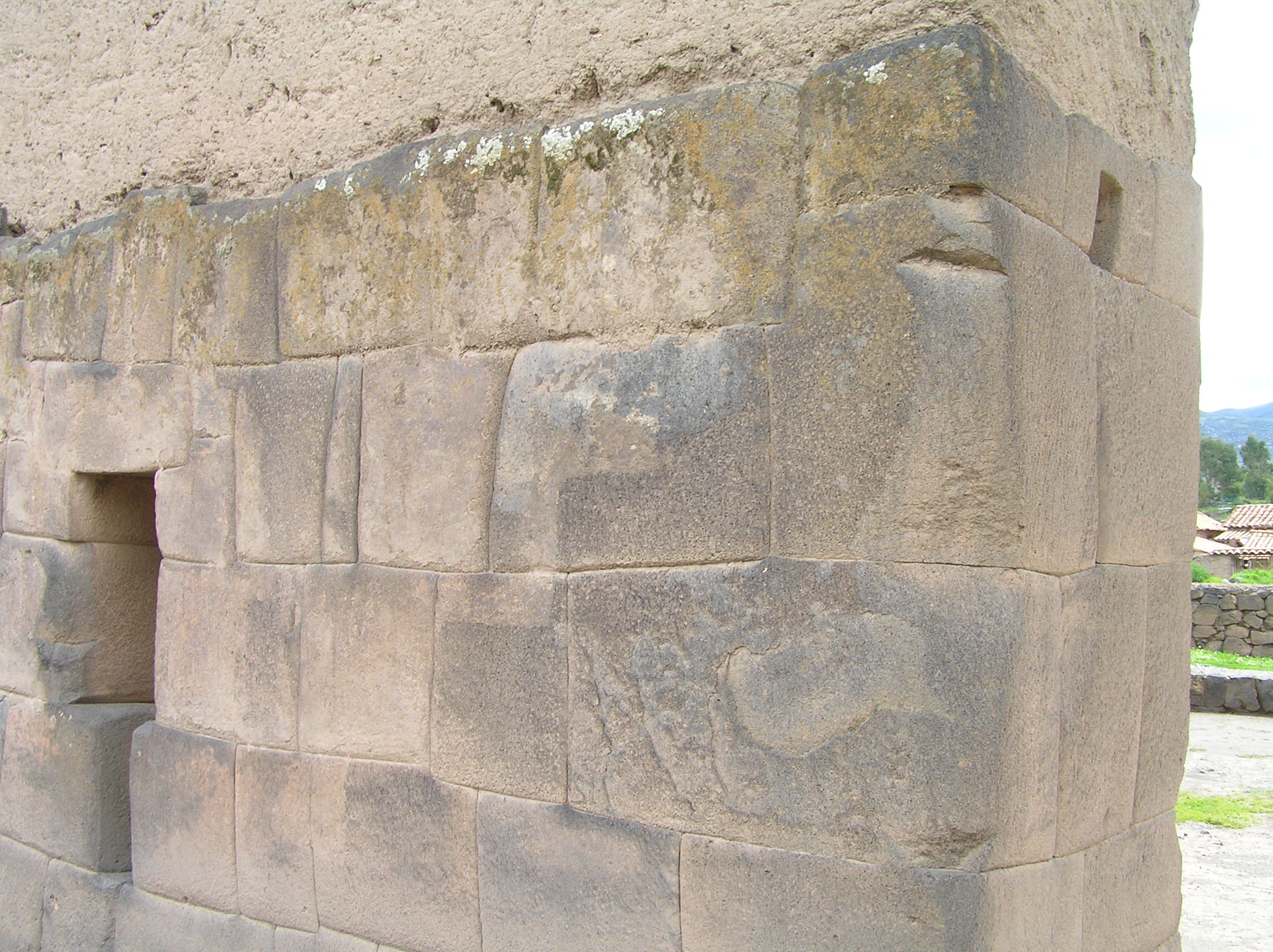
This is definitely Inca rock work. You soon get to recognize it immediately.
The Inca's had trails from Columbia to Chile and they had runners for communication and
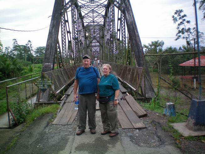
they had control gates. This gate is right outside of Cusco.

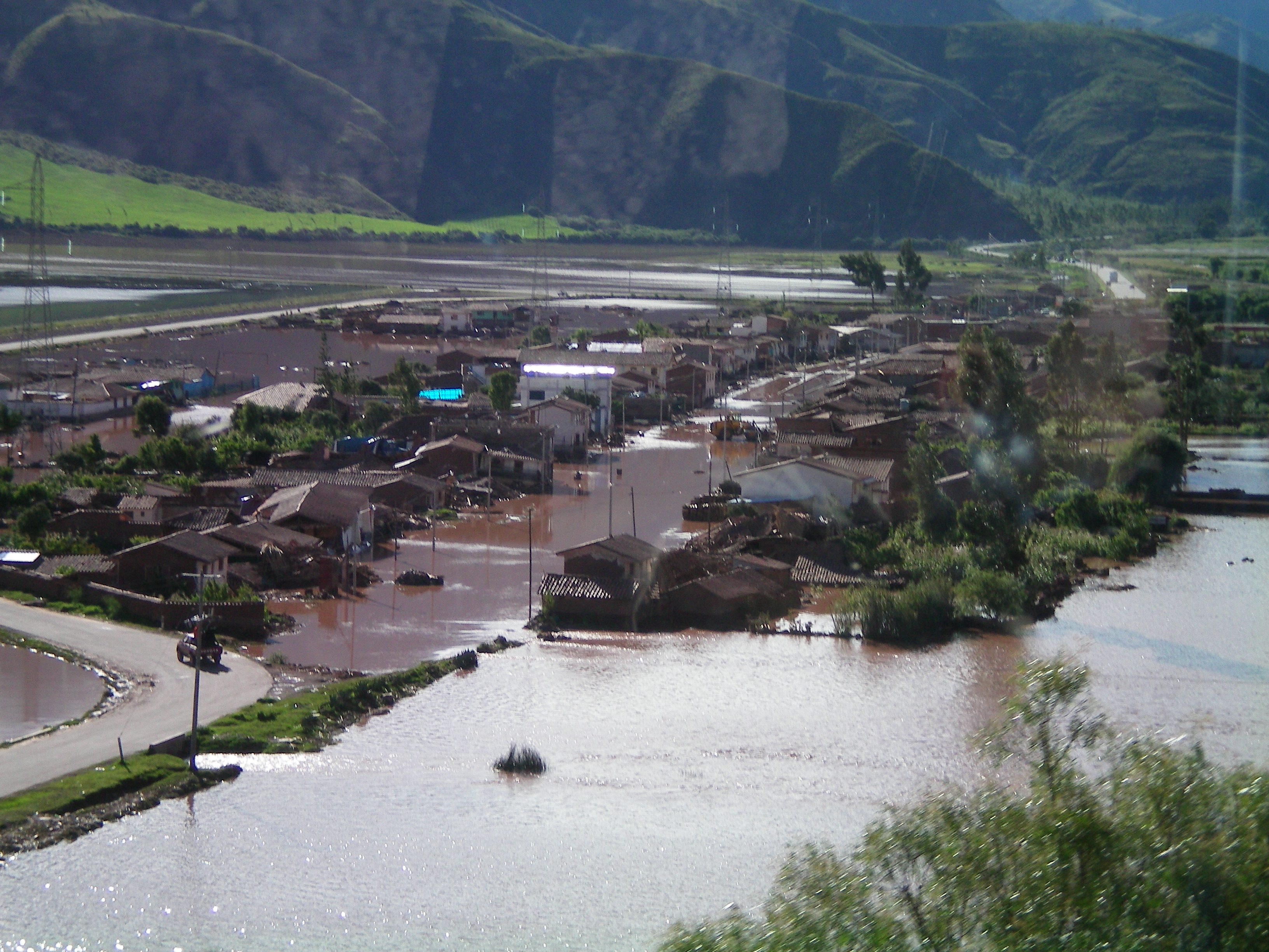
Some of the flooding and refuge tents at the outside of Cusco. These floods closed Machu
Pichu before we got there. As I write this it still is closed and likely will be closed for
a couple of months.
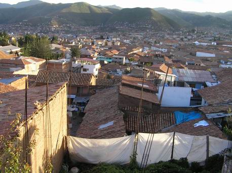
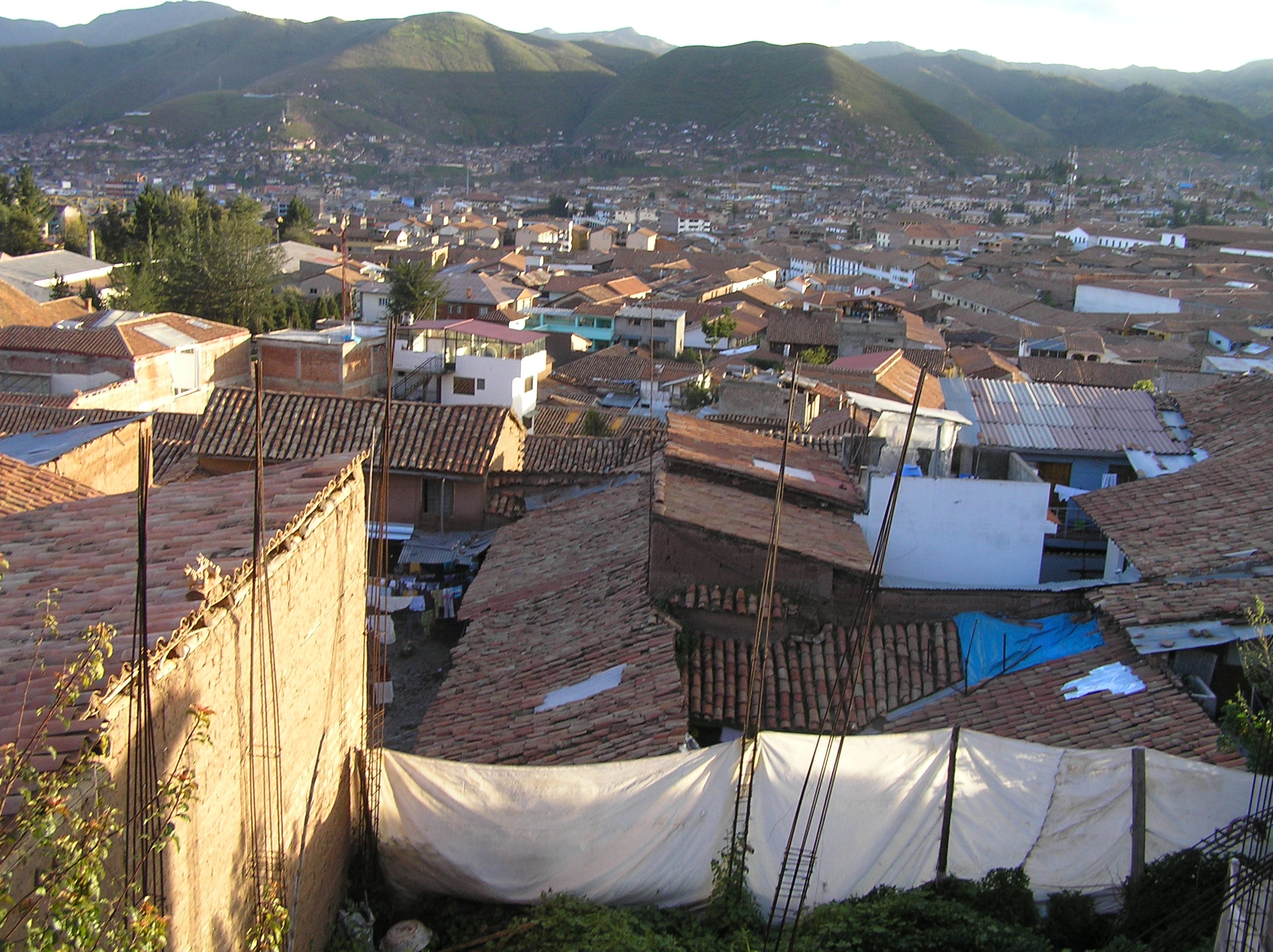
View of Cusco from our hostel AMARU. It is the site of the Incas and serves as the entrance
to the sacred valley of the Incas of which Machu Pichu is a part of.
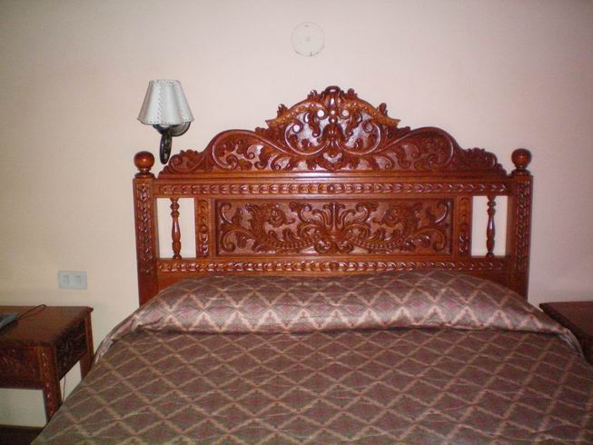
Fancy carving on our bed at the hostel in Cusco.
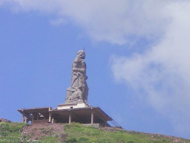
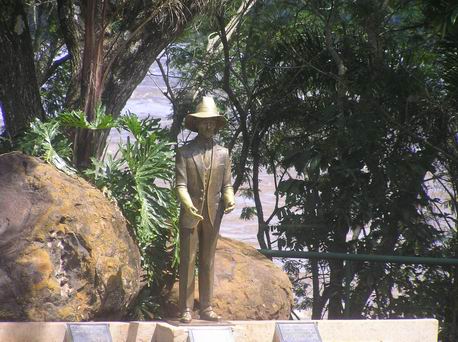
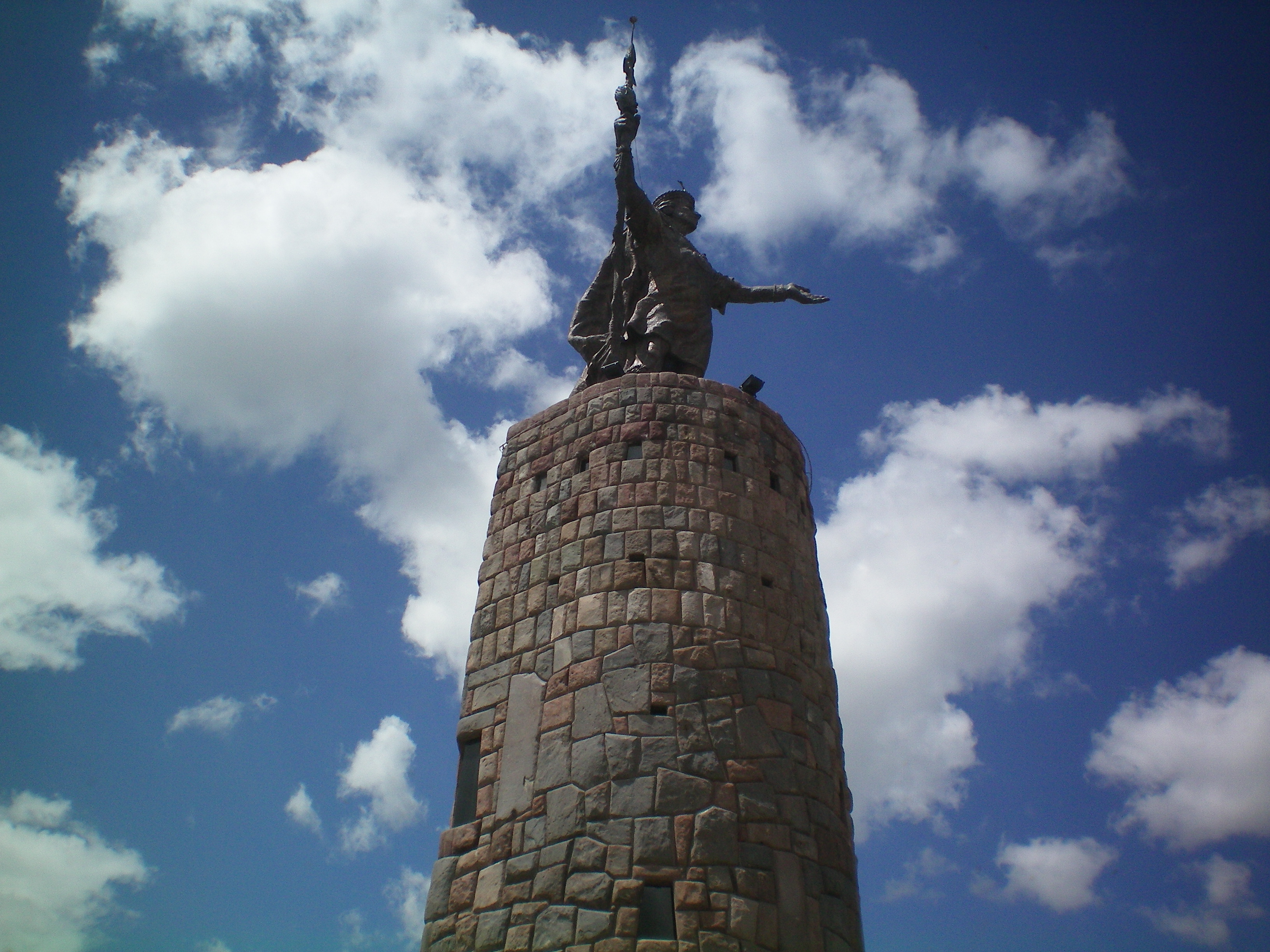
Statue in Cusco of a famous Inca warrior.

Statue in Cusco as you leave the bus station.
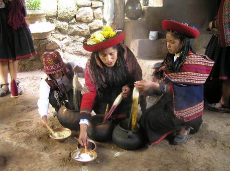
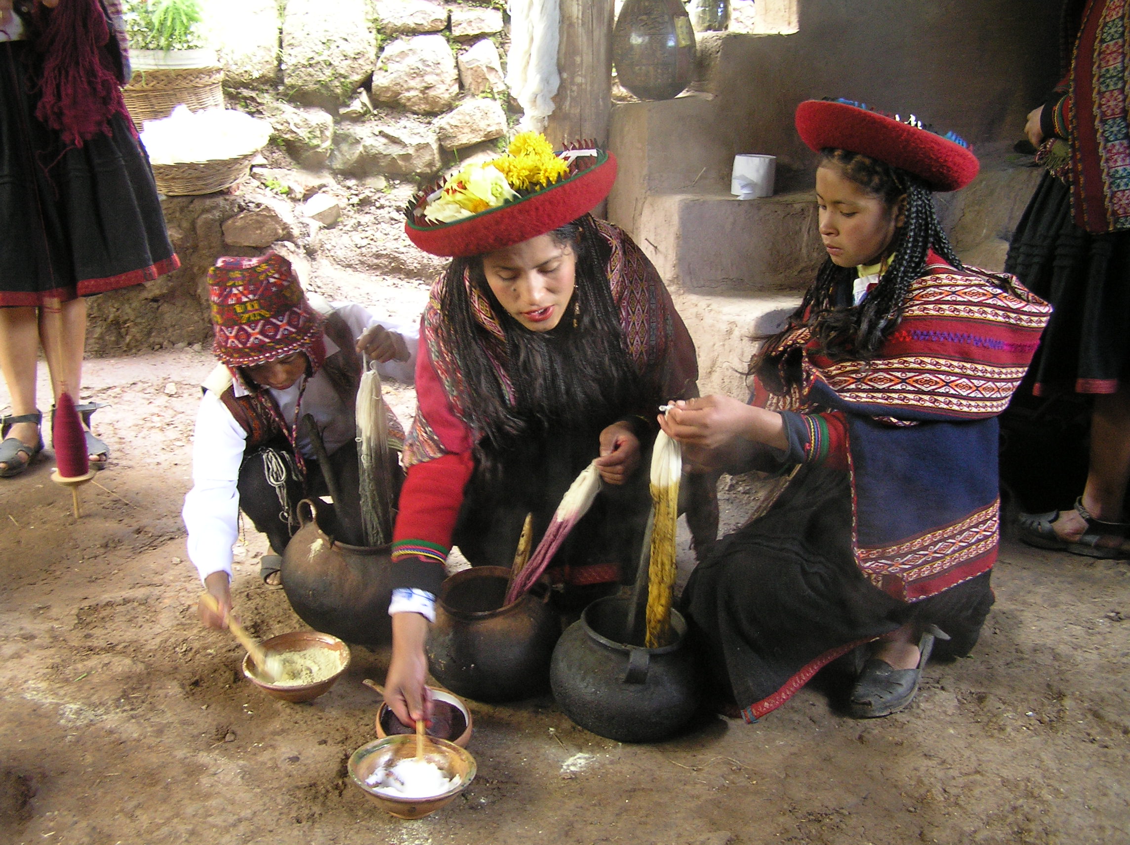
On the Sacred Valley tour where natives showed how textiles were made from wool and plants
used to dye them.
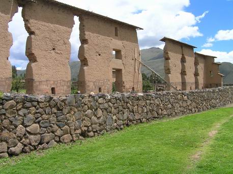
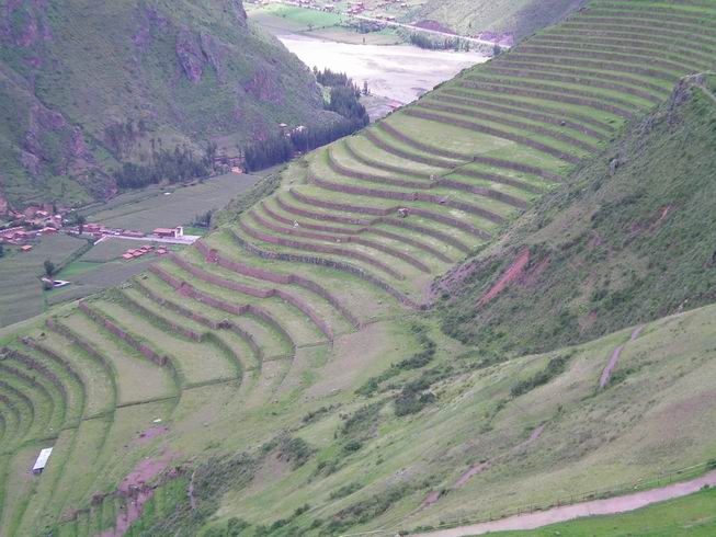
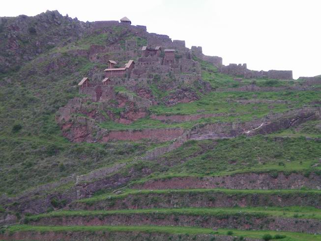
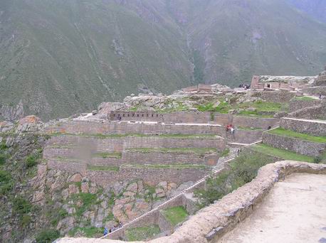
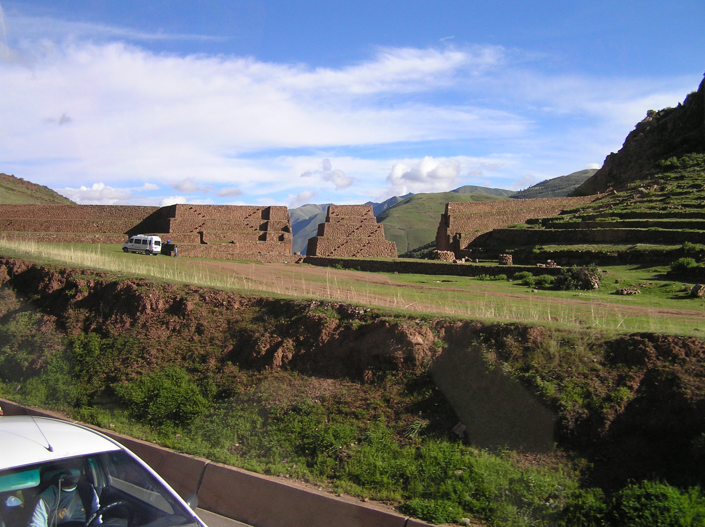
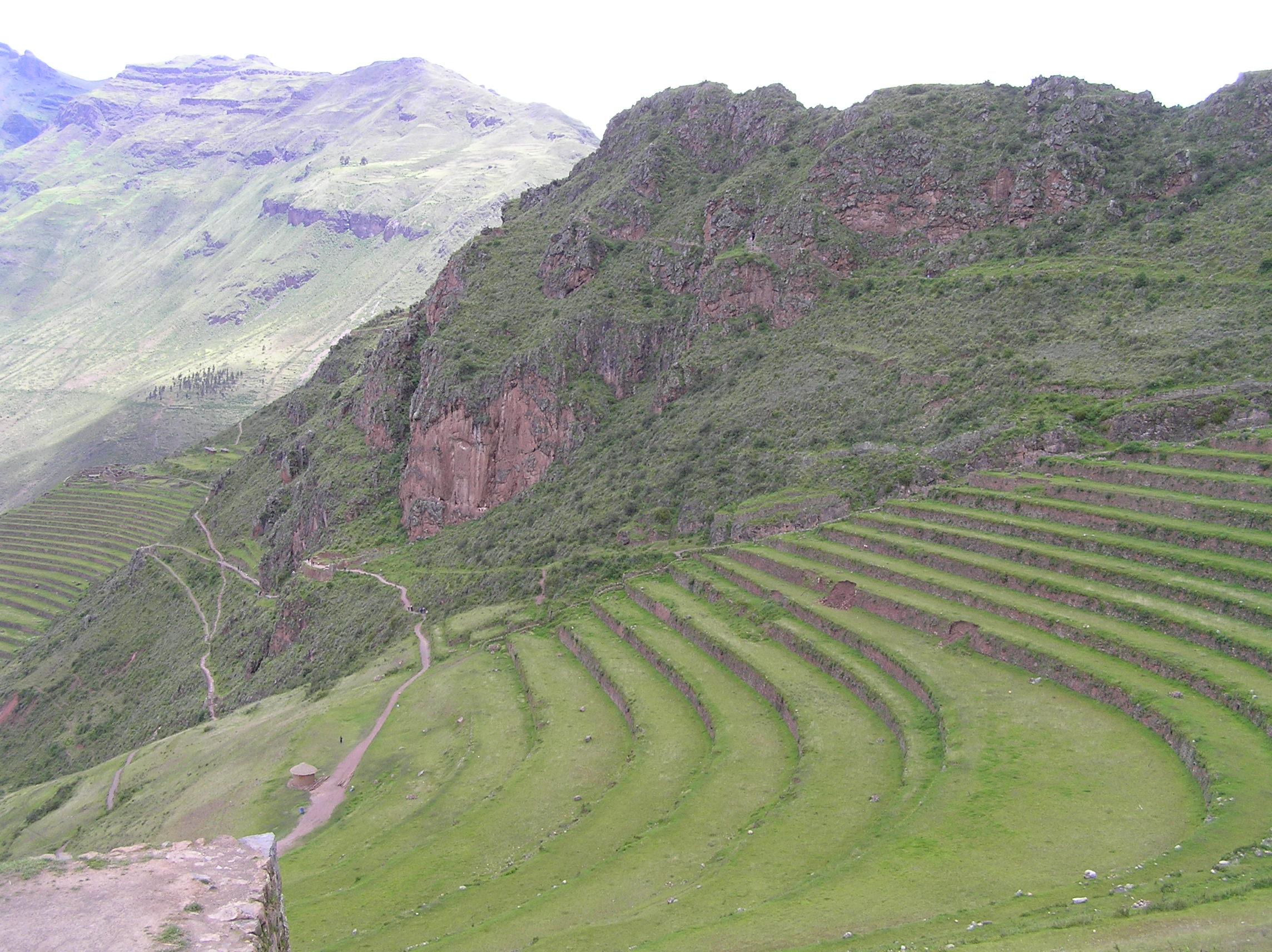
 Inca site at Pisa in the Sacred Valley. The terraces of course prevented erosion but
they also conserved water. This whole area which is 100 miles or more show remanents of these
terraces.
Inca site at Pisa in the Sacred Valley. The terraces of course prevented erosion but
they also conserved water. This whole area which is 100 miles or more show remanents of these
terraces.
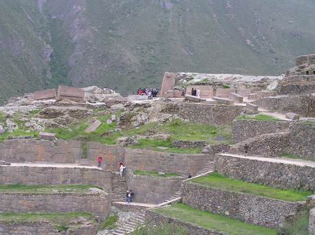
Another view of the Pisa Inca site.
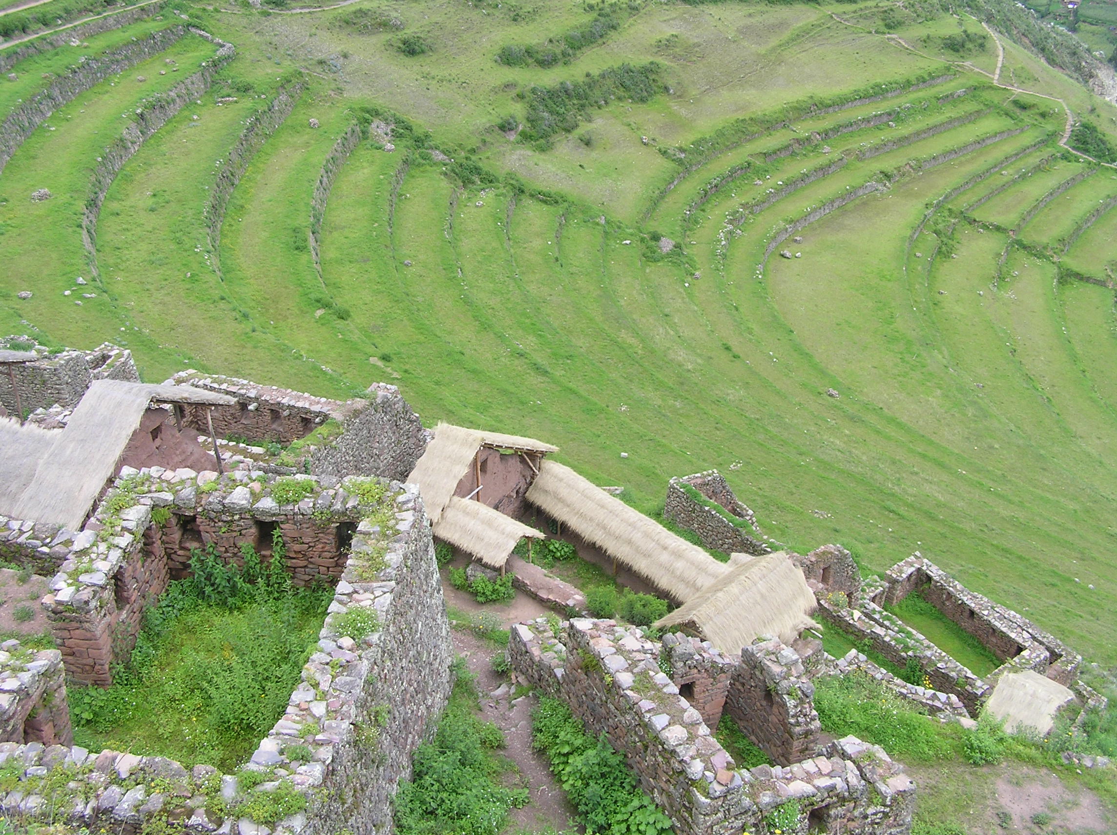
Buildings at Pisa, typically the nobility lived in the highest houses.
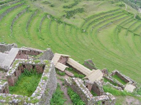
A view of the Pisa site looking down from the top building.
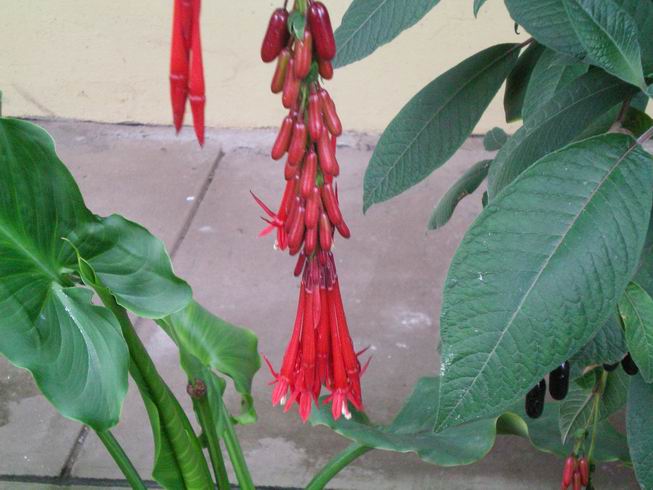
Flower where we ate our noon lunch on the Sacred Valley tour.
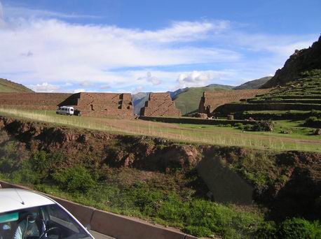
This Was destined to become the most important Inca site, even greater than Machu Pichu but
it was not nearly finished when the Spaniards showed up. The Inca's won but later the Spanish
came again with a huge army and defeated them. Many fled to the Amazon and there decendants
live there today. You can do a search of the word Pusharo or lost Inca tribes, Amazon. This was
only discovered about 2004. This site is at Ollantaytambo and is only about 14 miles from Machu Pichu but
due to the flooding the railroad was washed out as well as bridges on the Inca Hiking Trail so
the site will be closed at least two months. The railroad and hiking trial is the only way
into the site, there is not a road. It was really a disappointment to be so close and not be
able to go. There is another site that takes several days to hike to that is even bigger and more
impressive than Machu Pichu. It is doubtful that a road or the railroad will ever go to this
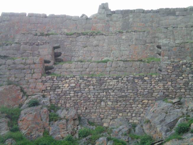
site. Note the rock wall, the lower more disorganized rocks are pre-Inca while the higher cut,
more organized rocks are Inca
Another view of the Inca Ollantaytambo site.
A great wall with significant carvings was just being started here. It is from these writing
it has been determined this was to be the center of the Inca Empire but it never happened because
of the arrival of the Spaniards.

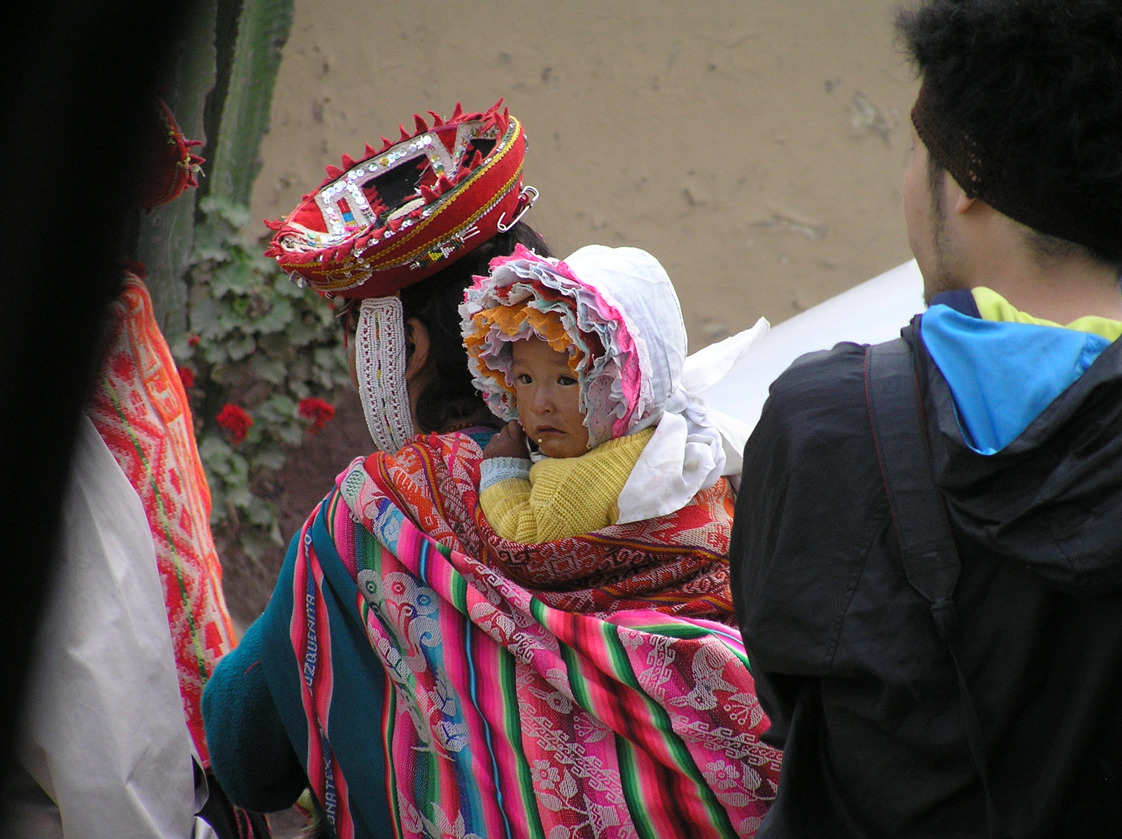
A typical way the Peru and other Indians in near by country carry their babies.
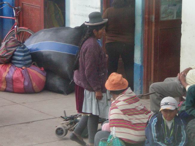
Typical Peru Indian dress, note the typical hat.
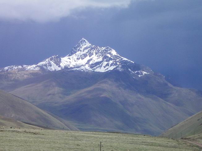
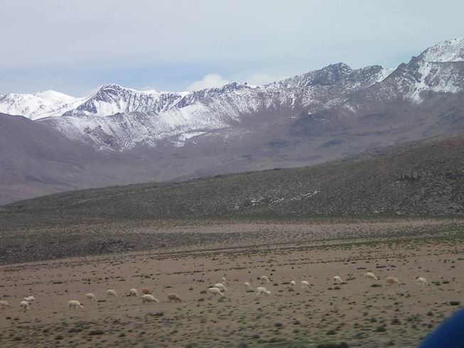
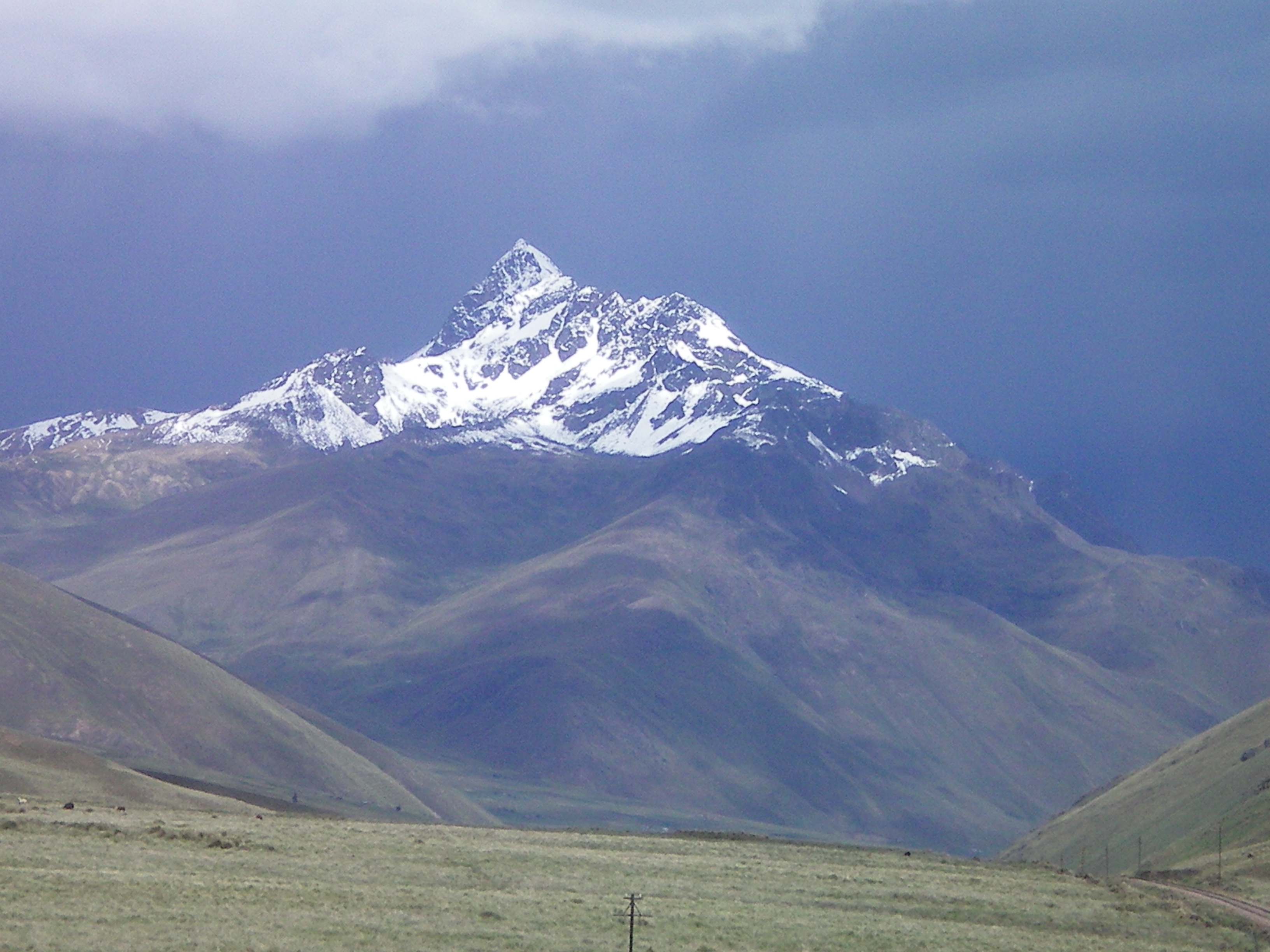
High mountains near Lake Titikaka close to the border with Bolivia.
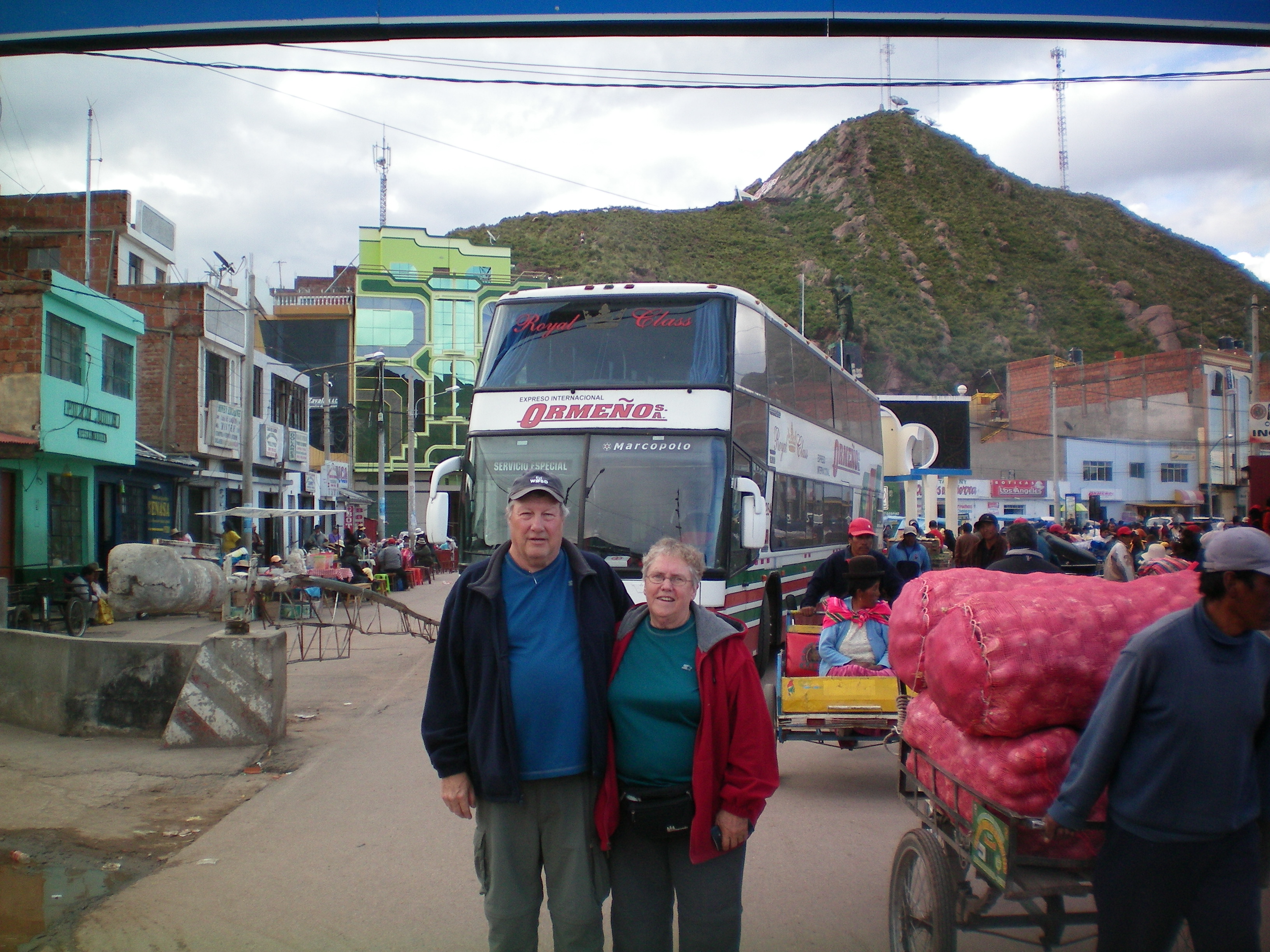
We had to get a VISA to enter Bolivia which we got at the border. It all went well except
we needed photocopies of our title page, exit stamp from Peru and VISA for Bolivia. We had
to walk back to Peru to find a place to make photocopies and then it took us about 10 minutes
to find the Peru exit stamp. The light was very bad and it turned out the stamp was very faint
and hard to see. We thought the bus was waiting for us but it turned out some people with kids
and just one parent had trouble with their paperwork so we did not hold up the bus after all.
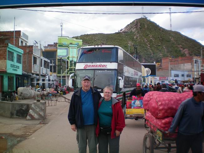
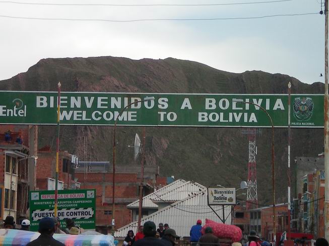
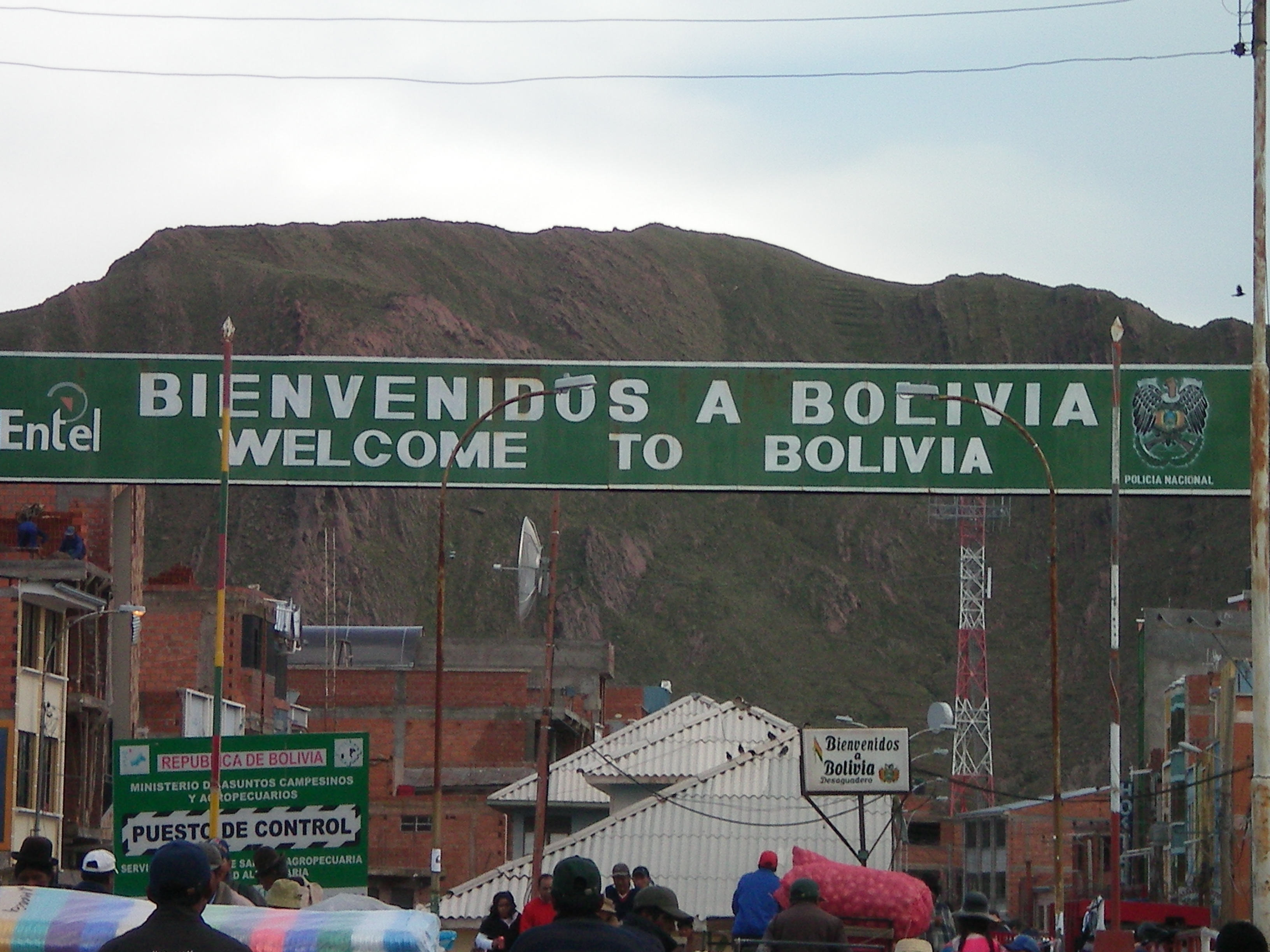
Looking at the street entering Bolivia and that is our bus.
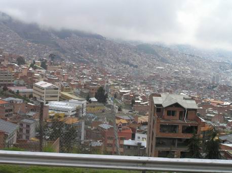
La Paz Boliva the highest capital city in the world.
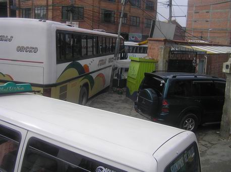
Crowded narrow streets in La Pas, taken from our bus. We seen at least 5 places right
here with hanging beef that had been butchered but I was not able to get a picture. I doubt
if these building were refridgerated. I would say they have to cut it up soon and get
it out to meat markets where it is sold right away or they can refrigerate the cuts.
Entance to Oruno, since the only bus going to Uyuni was at night from La Paz we decided to go
to Oruno which went in the day time so we could see the country side. We noticed that nearly
everybody in Bolivia has electicity. It was all farming and livestock along the way and it
looked pretty dry. We ended up have to wait here as again the only bus went at night to Uyuni.
We got a hotel room for the day at a cheaper price which had air conditioning which was a great idea.
The bus was late and we met Bianca a gal from Brazil who could speak English. She had done the
thing we had. The bus trip to Uyuni was long and bumpy and the bus stopped running about 5 times but
they always managed to get it running again. One time it took 45 minutes. We walked around with
Bianca and got ourselves orientated with the Lonely Planet map. We ended up booking a tour
with Oasis tours.
A statue in Oruno.
We have started our tour, we are fortunate as two are from the USA which are the 2 and 3 persons
we have met from the USA and the other two are from Spain and German and are friends. They both
can speak English and Spanish so they can fill us in on what the guides are saying as we miss
a lot of it. This worked out great and they were willing to do it. This is a small operation
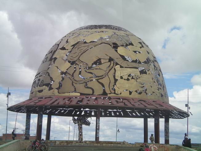
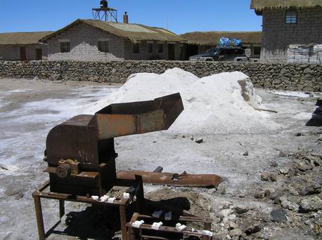
of mining salt and packaging it from the Uyuni Salt Flats which are the largest in the world .
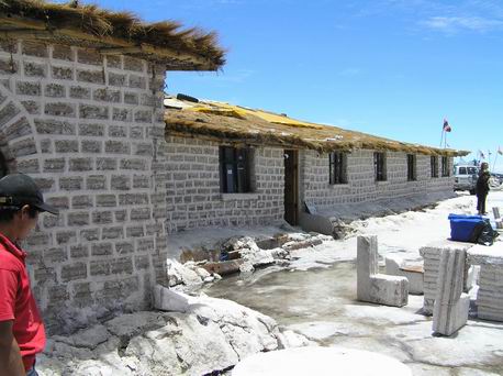
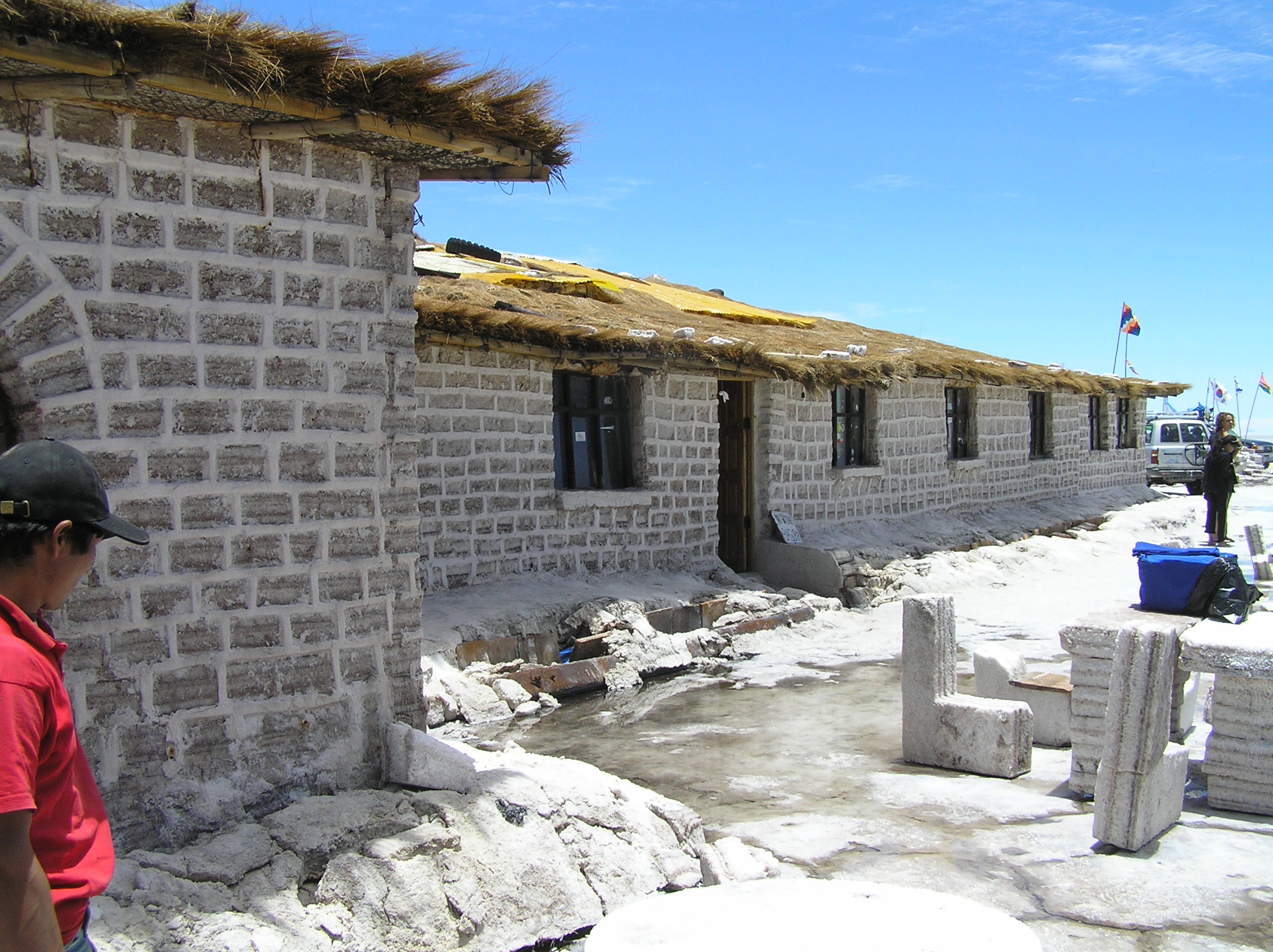
Salt hotel build out of salt.
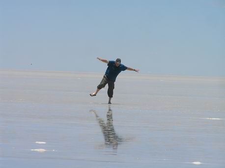
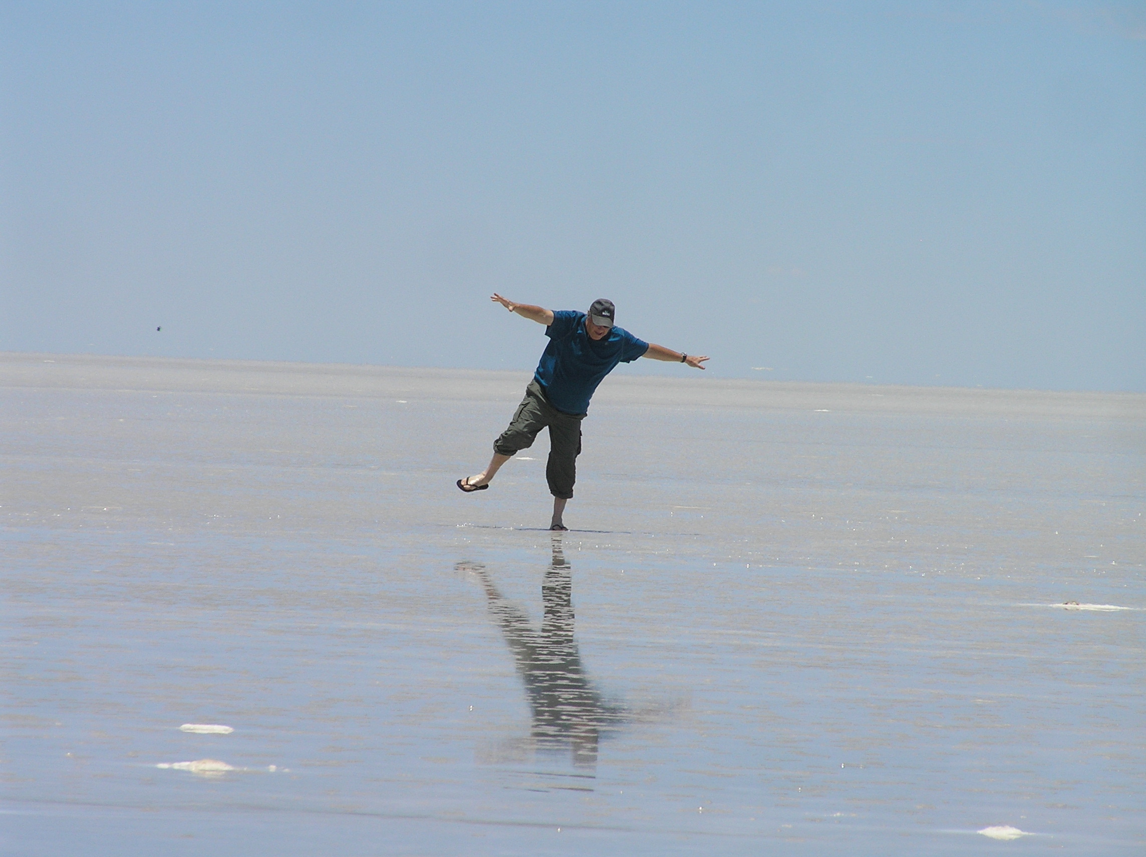
On the salt flats.
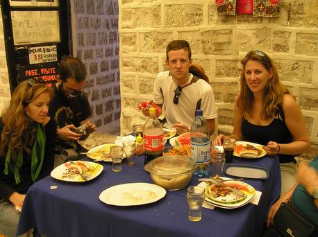
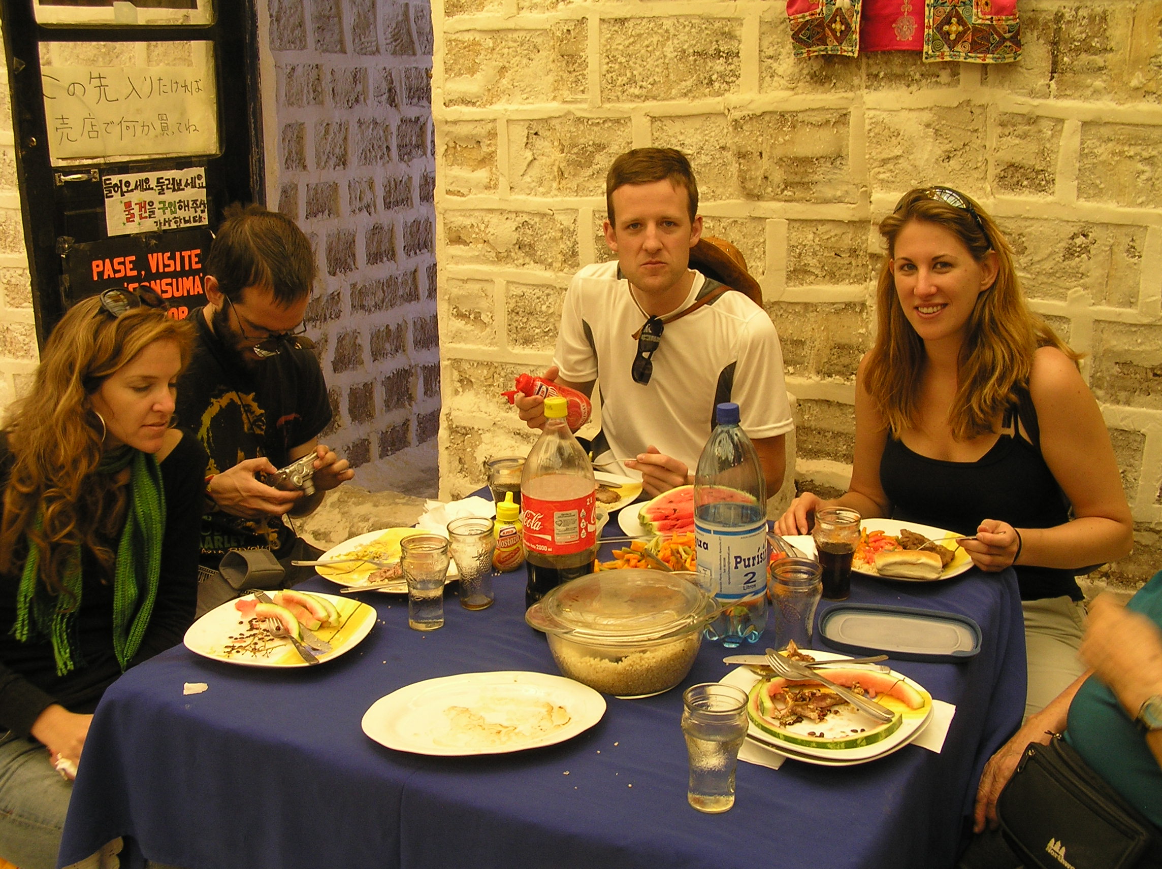
Our meal were fabulous, I would recommend Oasis but you need to understand Spanish or you
need to have some one translate. It is hard to find a tour where they speak much English.
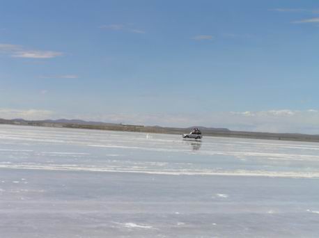
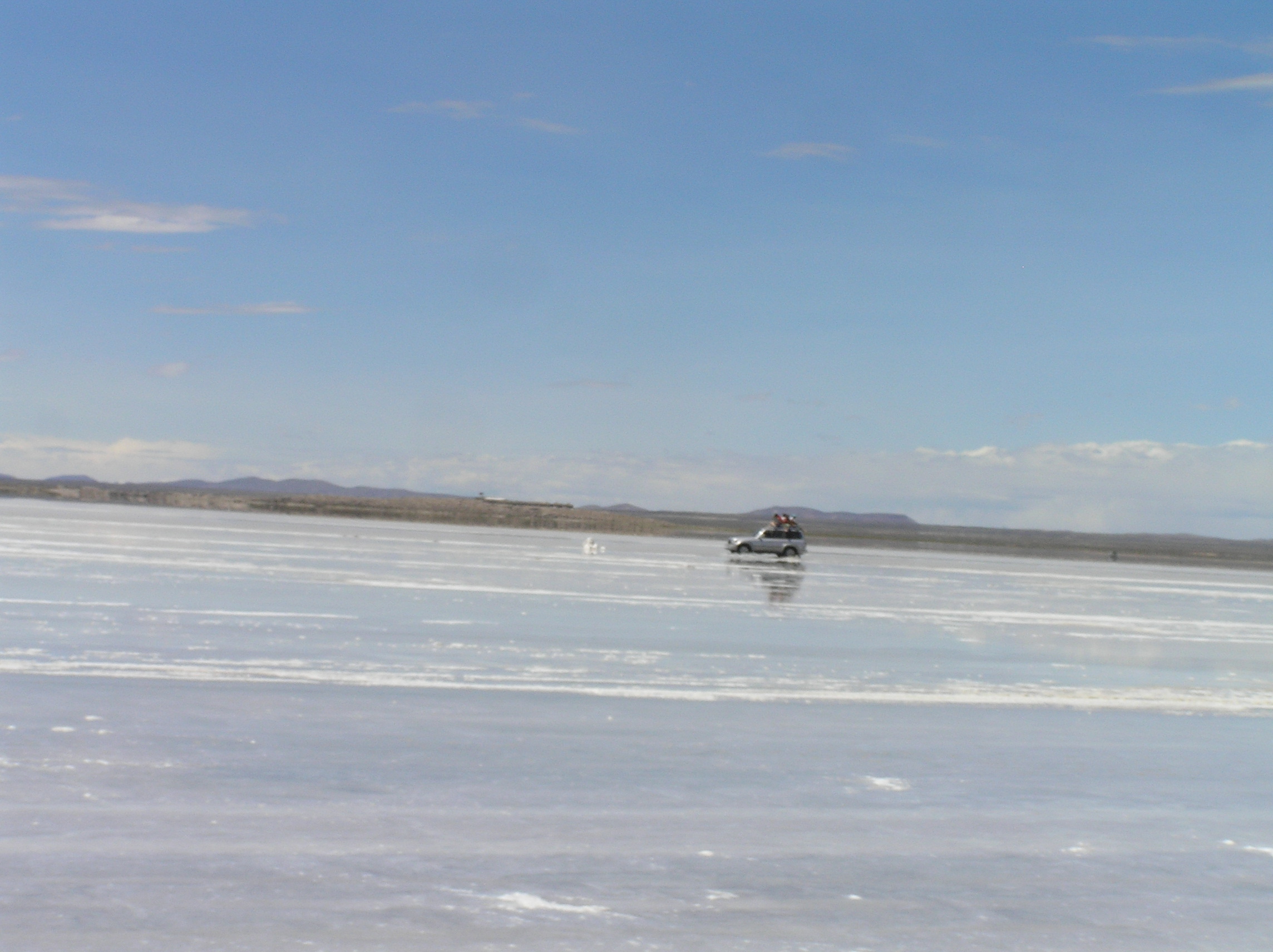
Driving on the salt flats, there was some water on the salt flats. They had to wash the
vehicles off after we go off the salf flats.
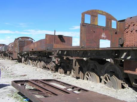
The train graveyard at Uyuni. There still is a train from Oruno and one from Argentina.
The original trains were for minerals. Today it is Copper and Lithium that are the big thing
being mined. The train is mainly for tourists.

This was early on the second day of the tour in the Valley of the Rocks.

Called the Condor rock.
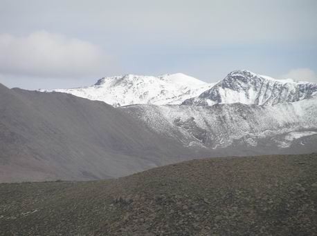
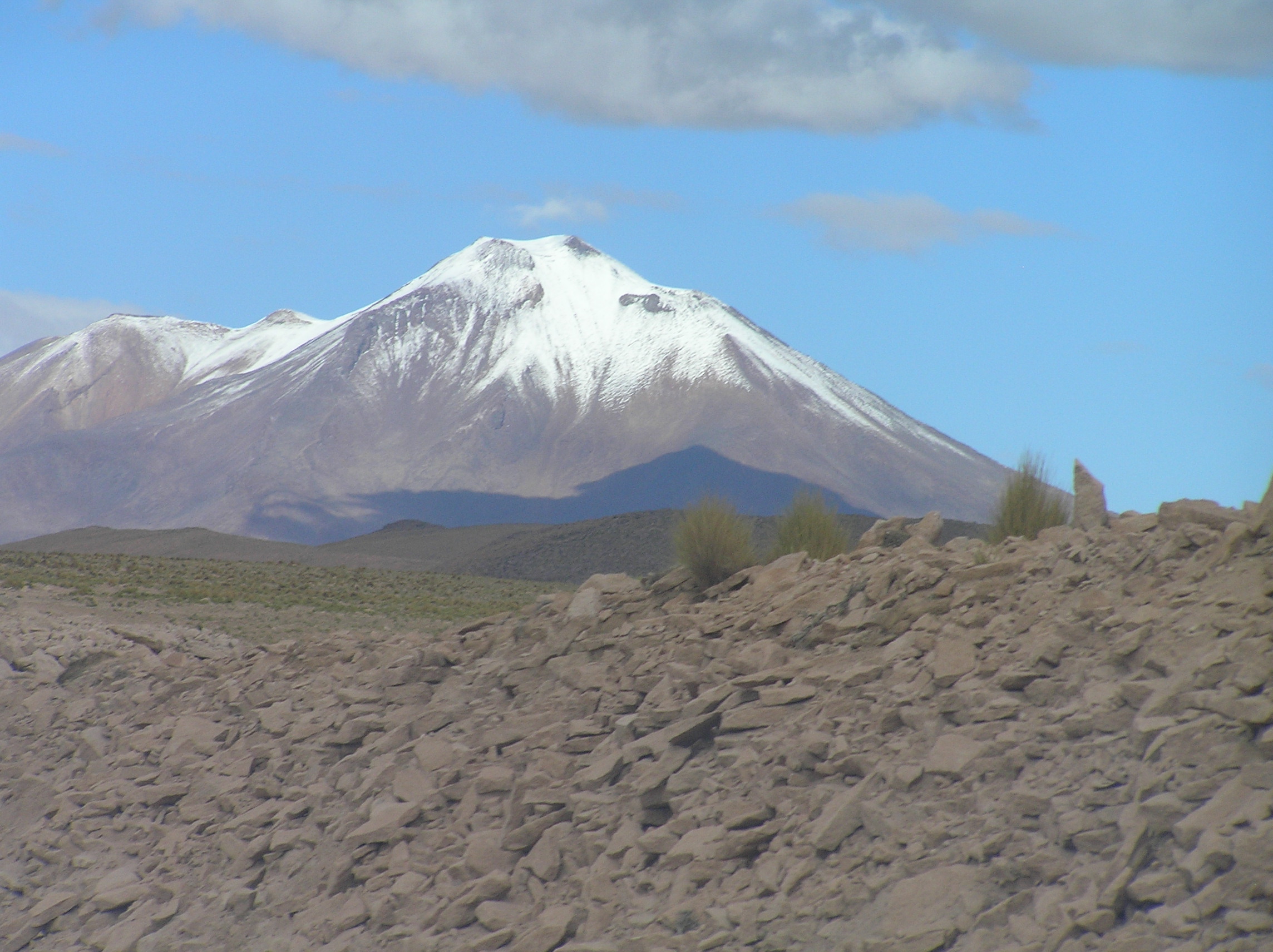
Snow because of the high altitude even though it is summer time in southern Bolivia not
that far from Chile and Argentina.
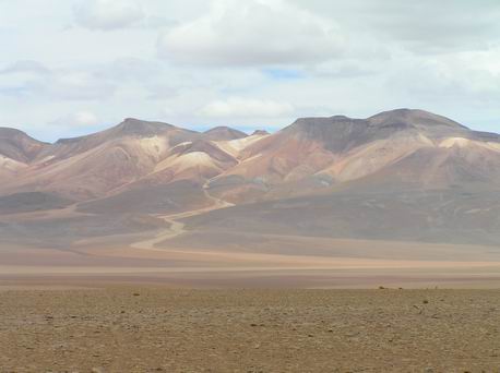
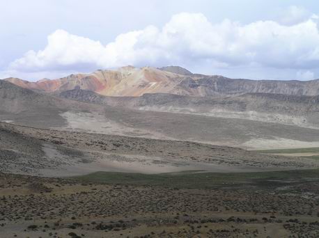
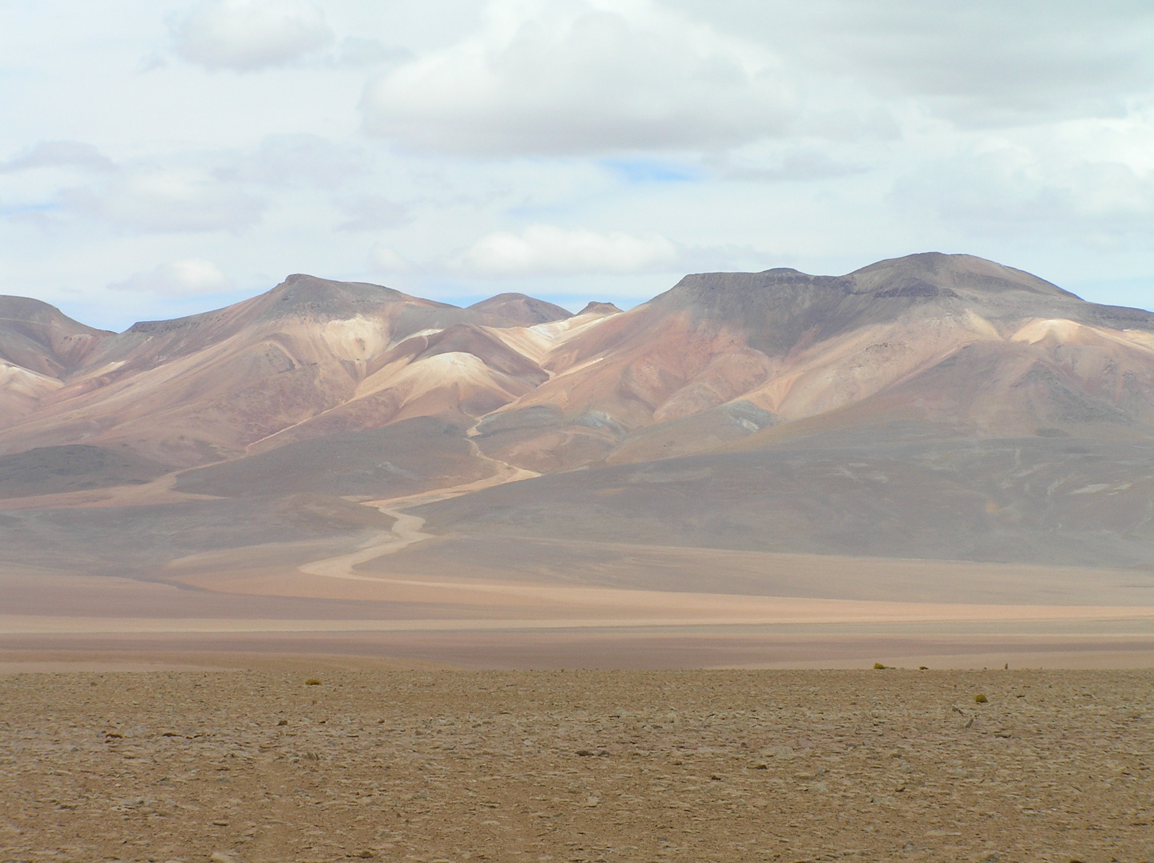
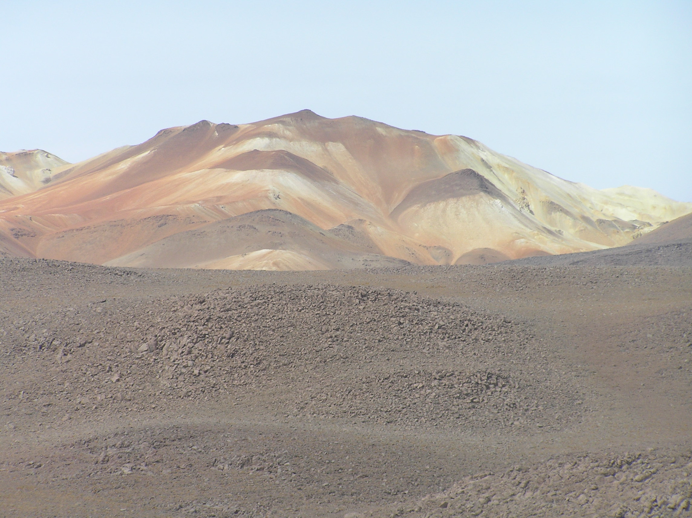
Beaufiful scenery by the various colors from minerals in the mountains.
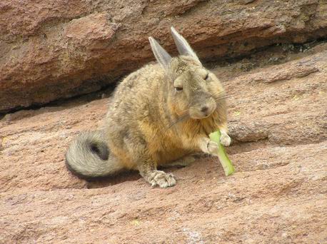
A Rock Rabbit enjoying some of our lunch.
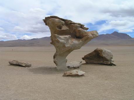
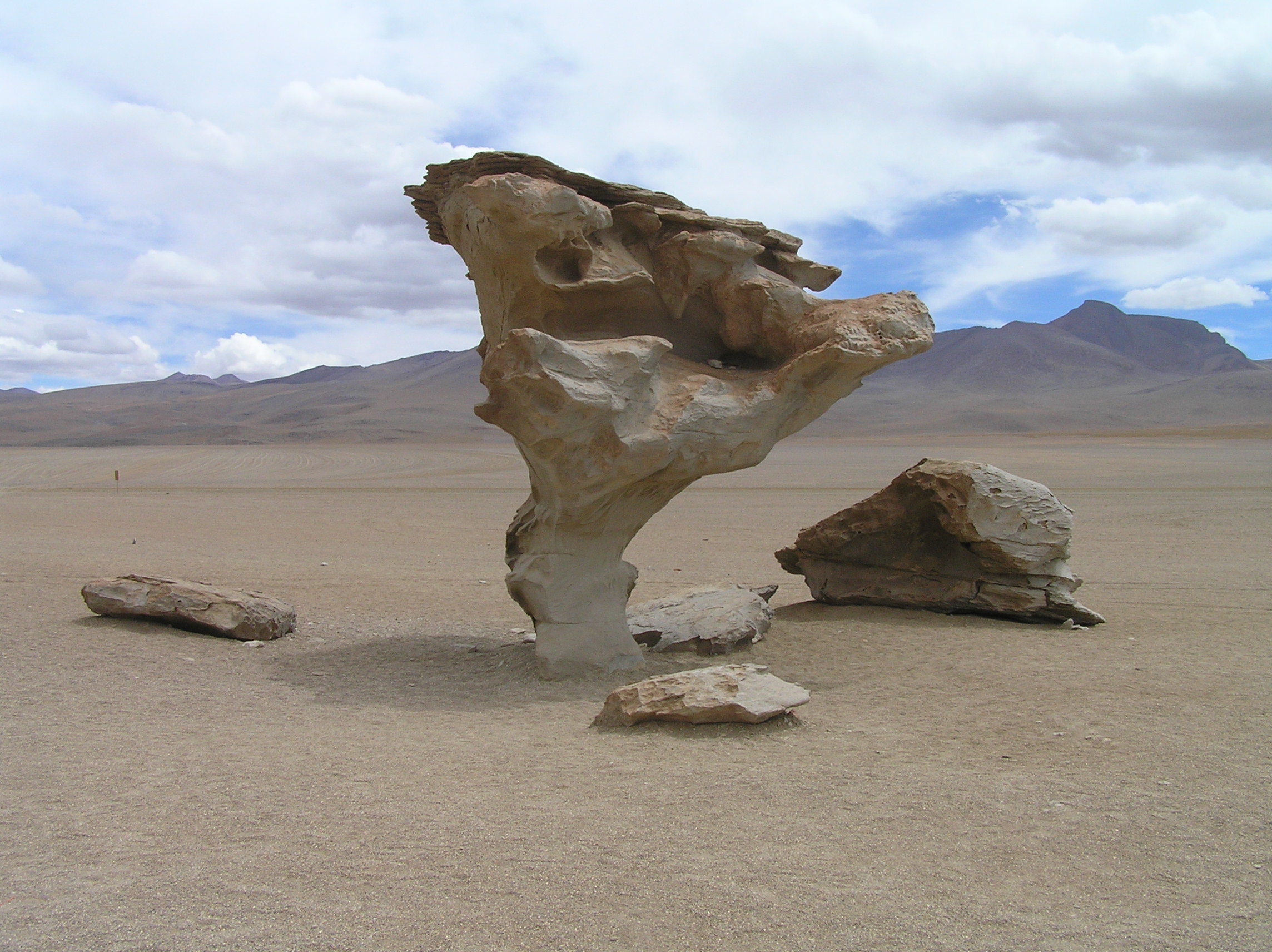
The famous Arbol Rock (Tree Rock) in the desert south of Uyuni.
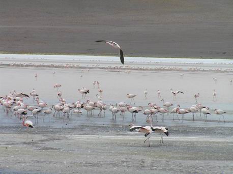
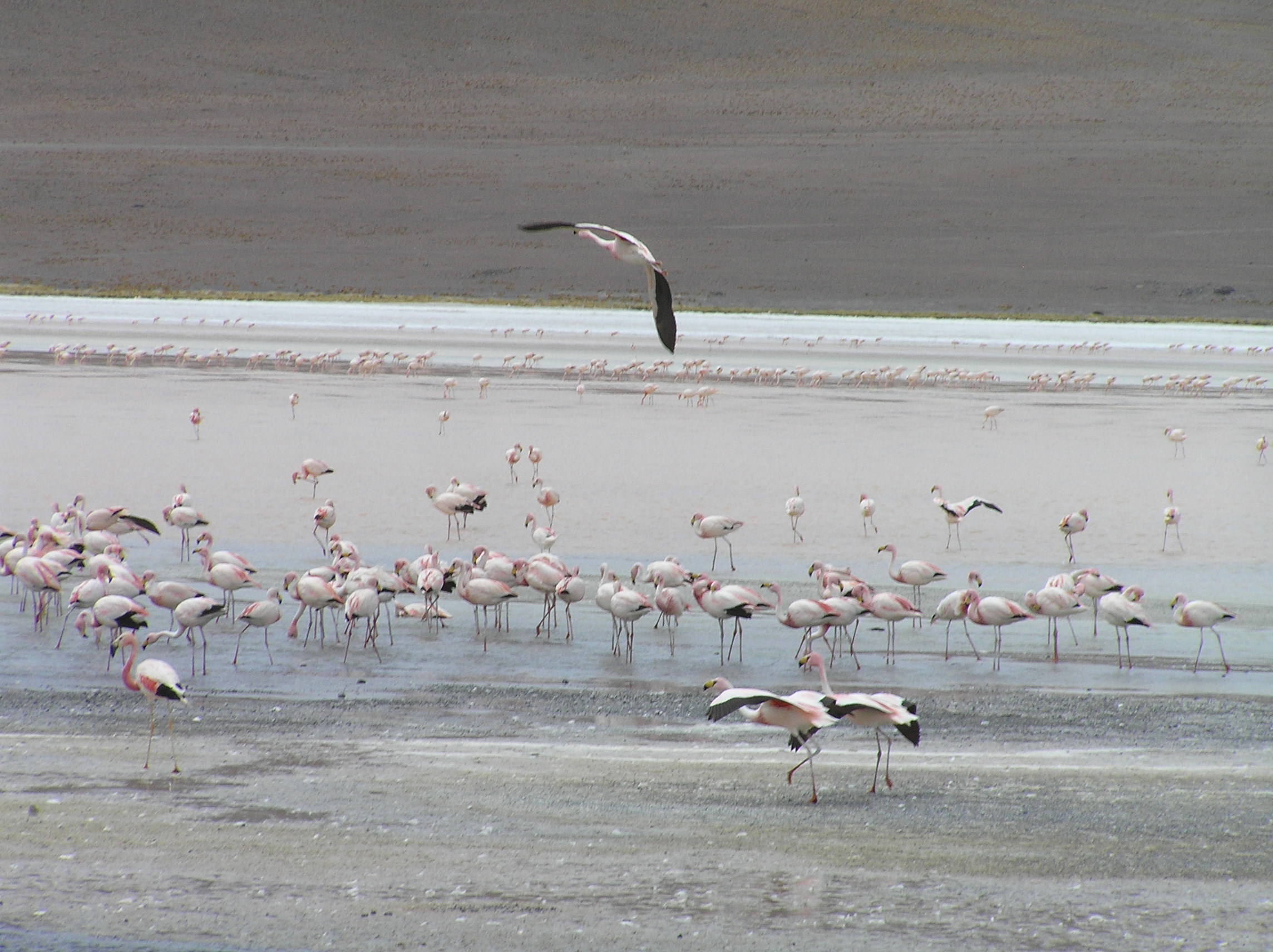
More flamingos, they are really pretty when they fly.
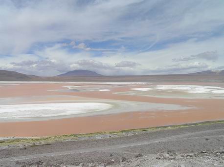
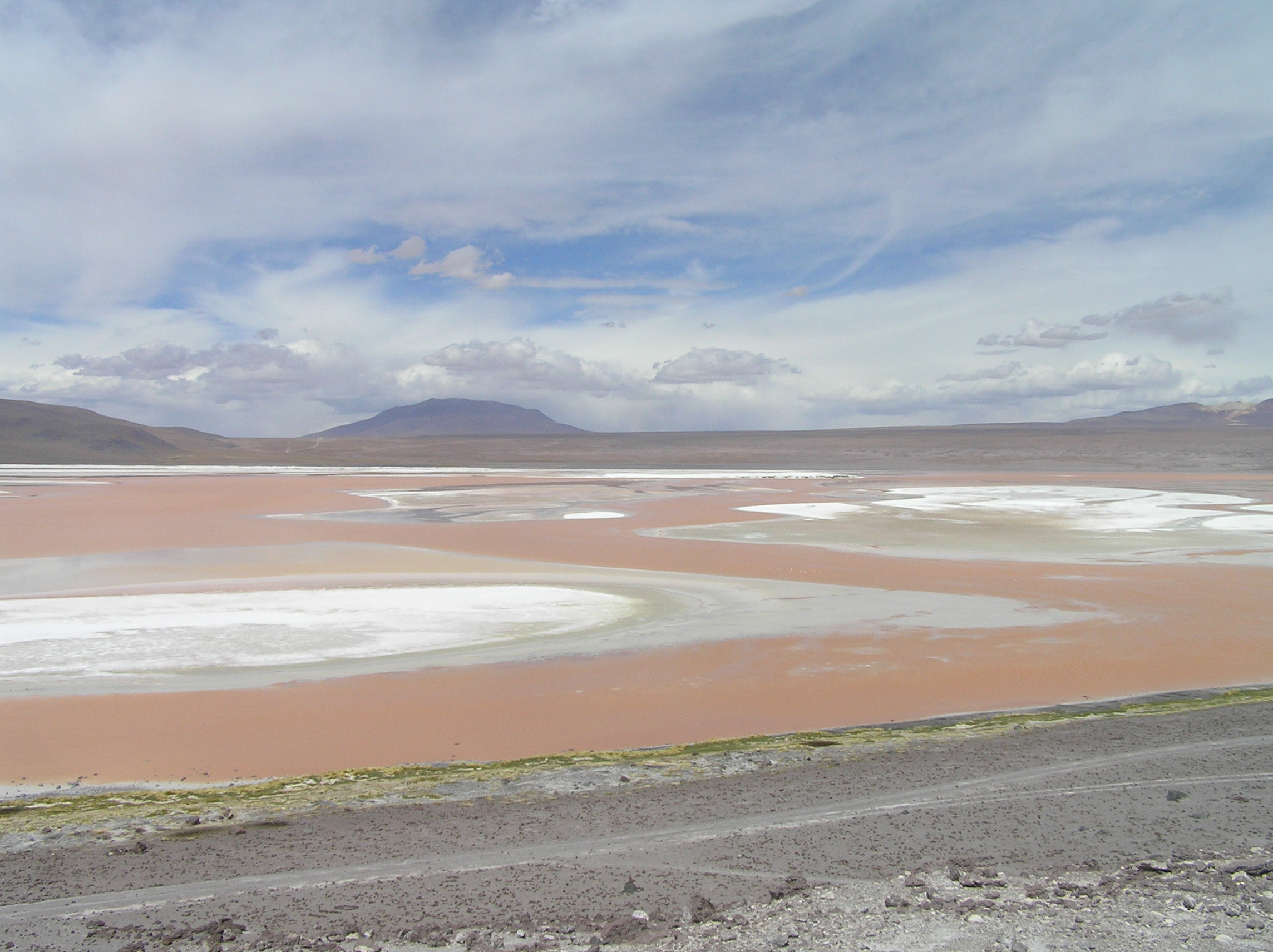
Colorado Laguna (Red Lagoon).
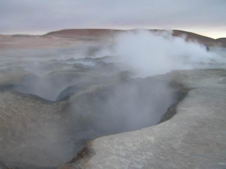
Geysers and near here we reached our highest elevation of 16115 feet. We could definitely
notice the elevation when we got over 12000 feet.
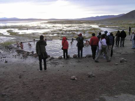
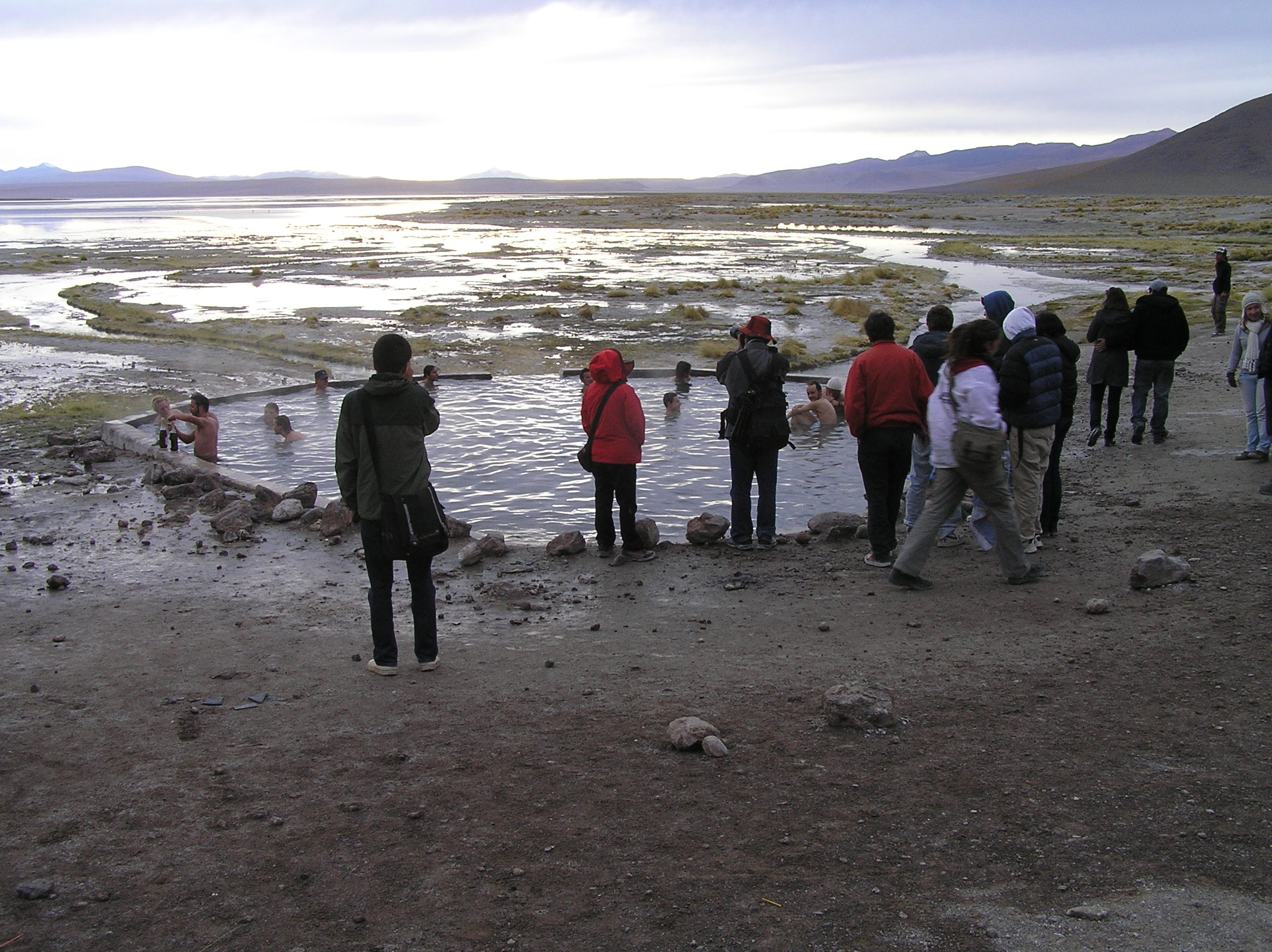
Hot springs, it was about 50 degrees out and some of our group went in. It is here much
to our surprise we met Bianca the Brazil girl again. When we parted in Uyuni she said she
was going to see the salt flat and go back to Brazil and get some good food. She said she
was really enjoying the trip and the food on the tour so she was happy. She said the rest
of Bolivia would have to wait. She was funny! She said she could get the flu from going in
the pool with the cold but what her Mom did not know would not hurt her.
More fantastic scenery.
Laguna Verde (Green Lagoon). We are very near Chile here and not so far from San Pedro De
Atacama where we had been before we went to Peru.
The best scenery of this type we have seen anywhere. The closest would be Death Valley in
CA.
It just continues with awesome scenery.
And yet another great scene.
A rock that looks like a chess piece.

We meet Bianca for the 4th time and we exchange e-mail and have been in contact. She
said we are her heros and wants to travel like us.
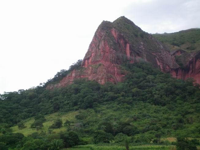
Some of the great scenery south of Santa Cruz, Bolivia. We had to go a long ways north
to get a good bus connection to Paraguay!
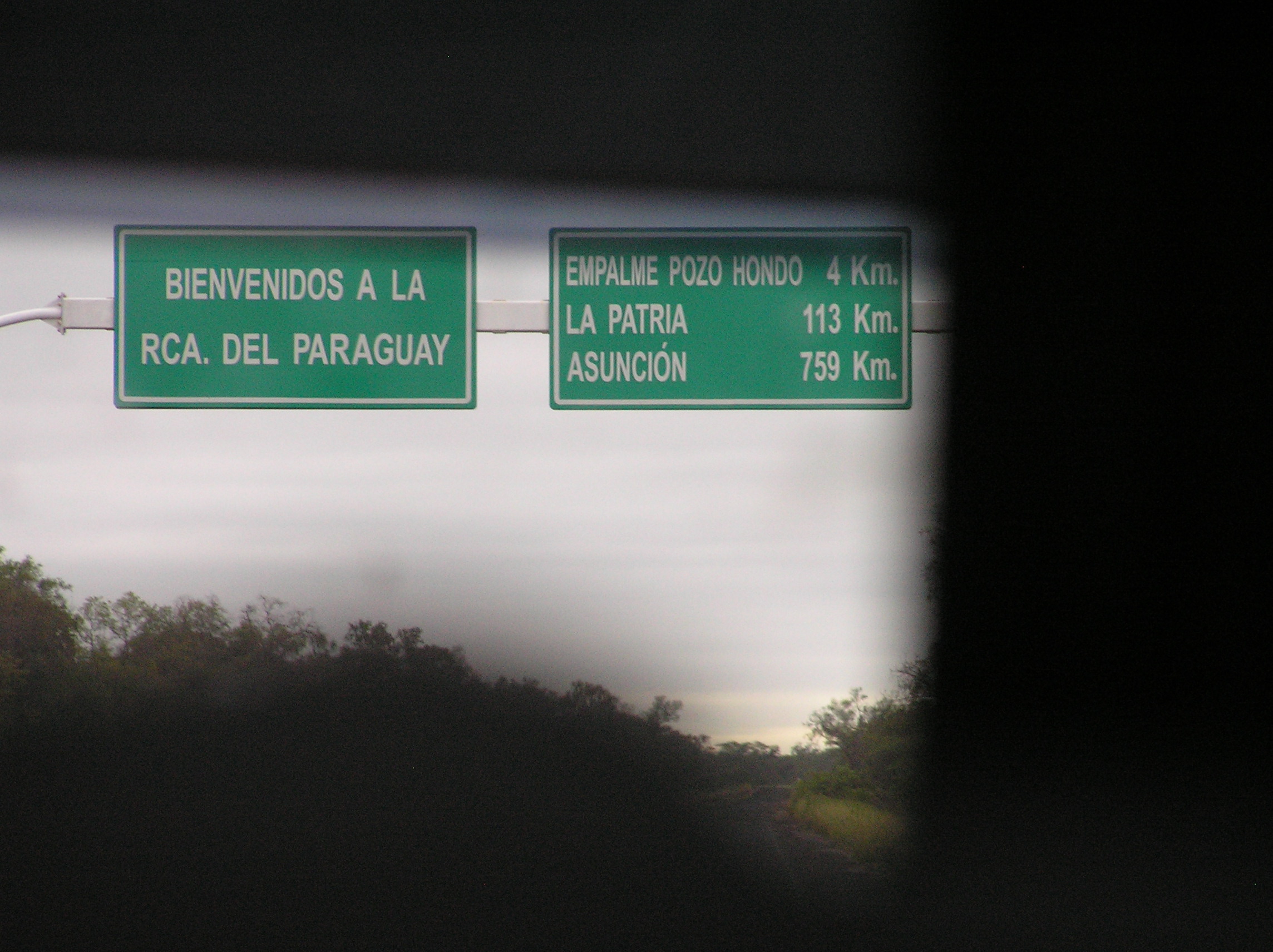
Leaving Boliva and the good road but it was not to far into Paraguay the hard surface
began again. It looks like in another year it will be all hard surface.
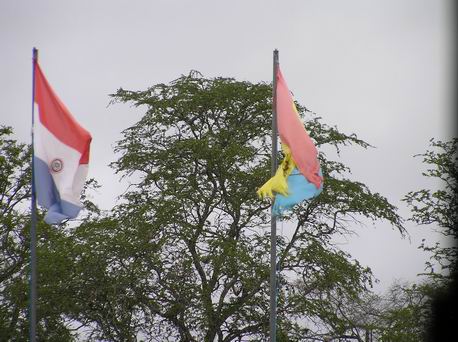
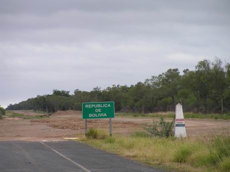
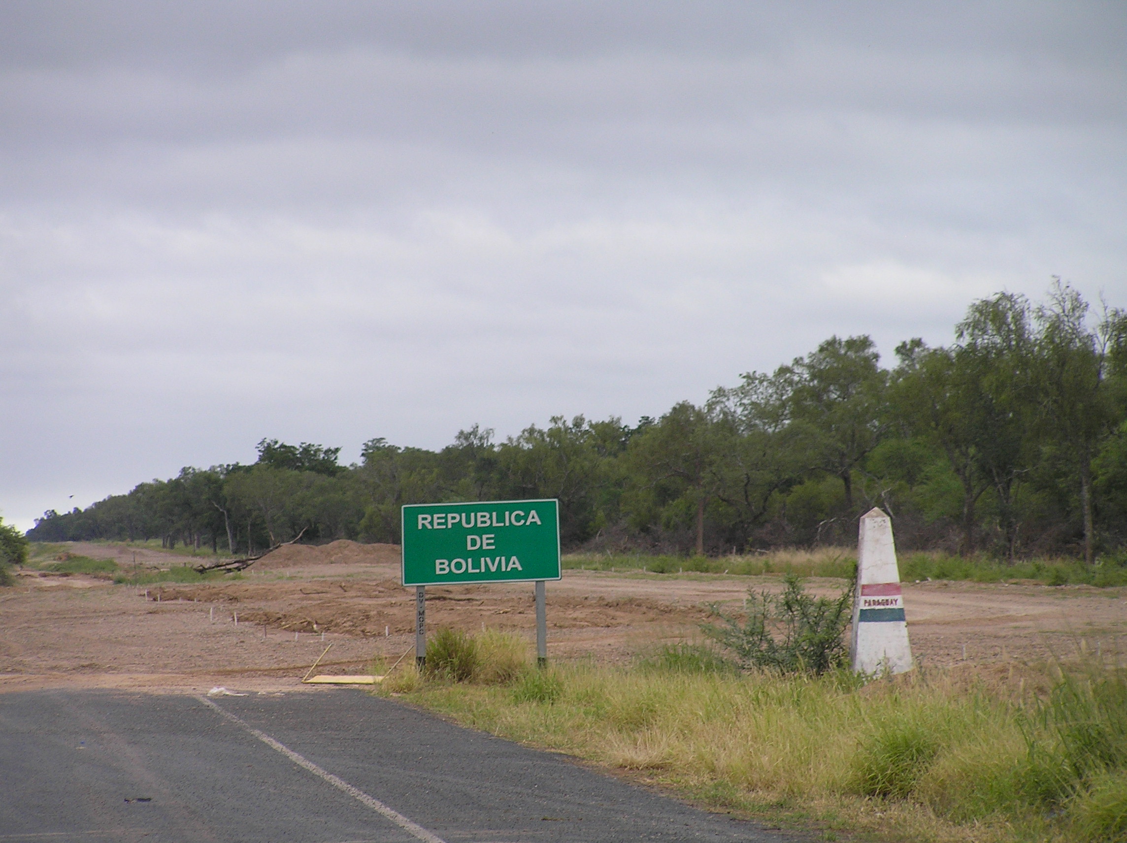
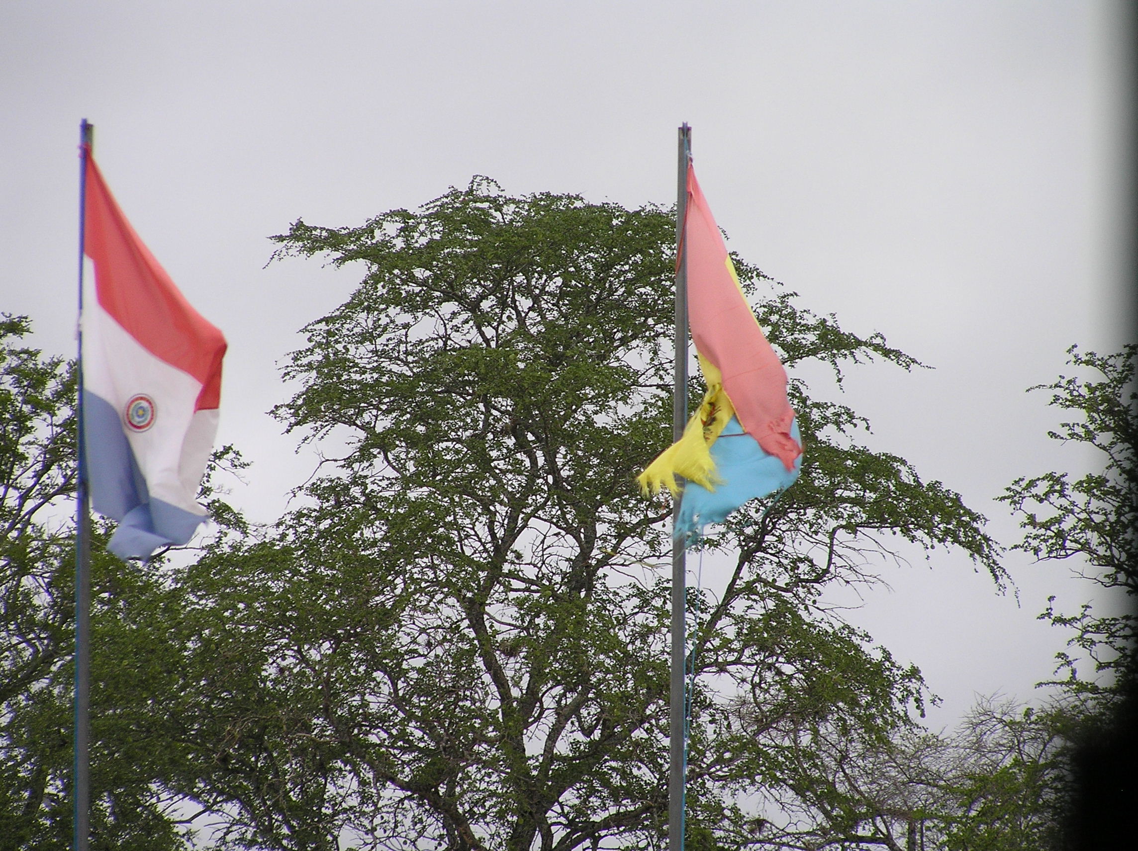
The border with the Bolivia and Paraguay flags.
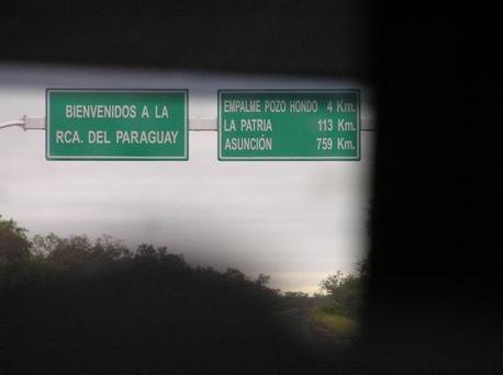
Entering Paraguay but the immigration point is about 100 miles into Paraguay.
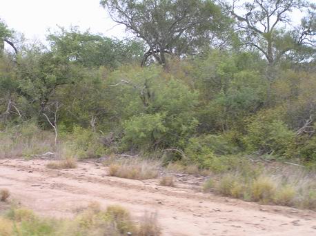
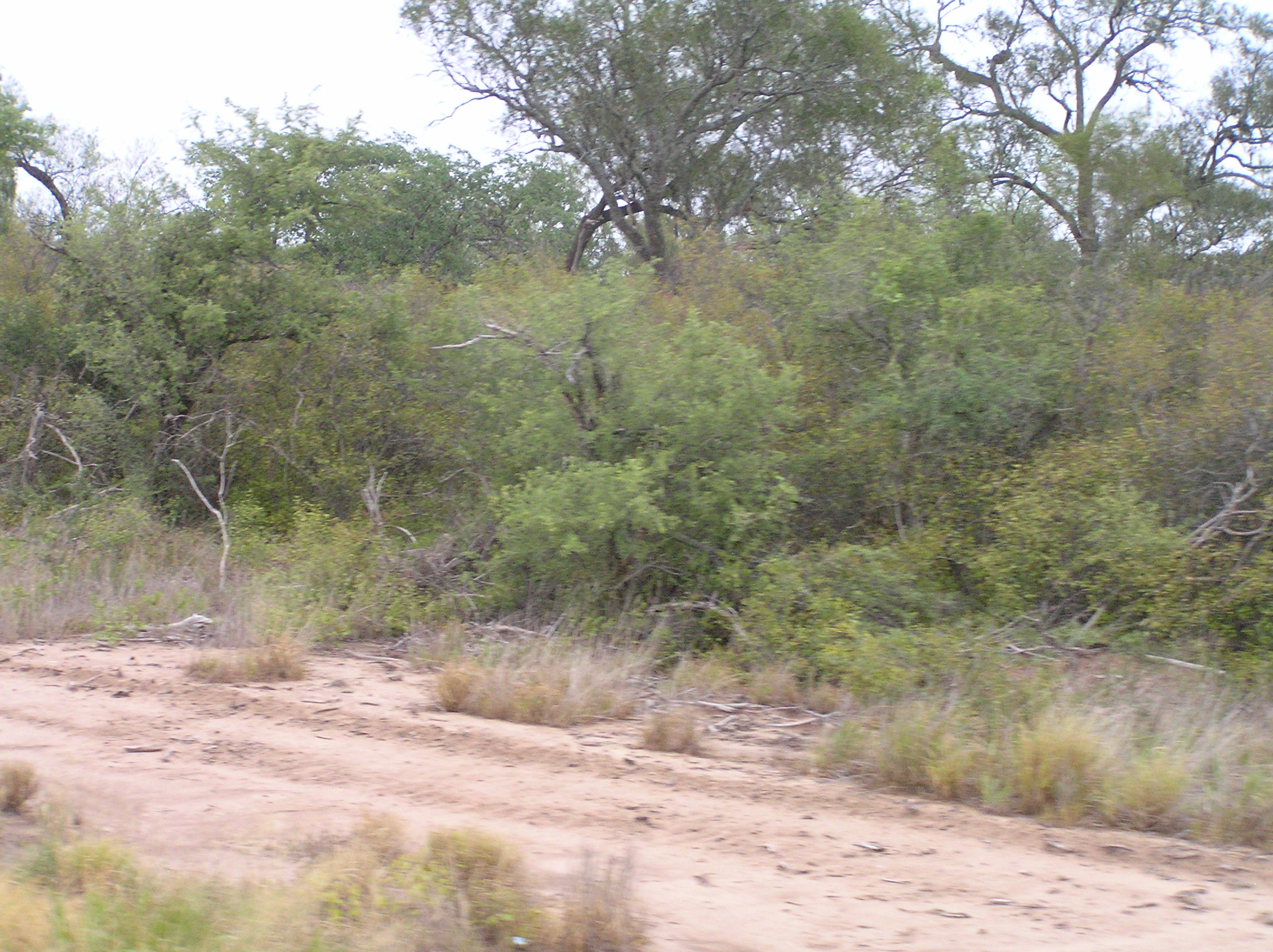
The Chaco in Paraguay, very desolate with very few people!
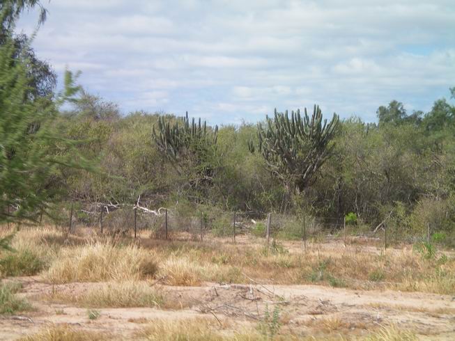
More Chaco.
Immigration and the drug dog for Paraguay at I think Fotin Tte. F. Ochoe. They took
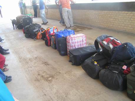
one of our bags off the bus with out telling us and we found it missing and finally found
it at this check point. It is hard to understand there Spanish here so if we were told
to take of our bags we did not understand it. We are learning to always take our bags
with us even if the bus is going to be locked. At times you need to get them out from
underneath as well for checks and bus changes.
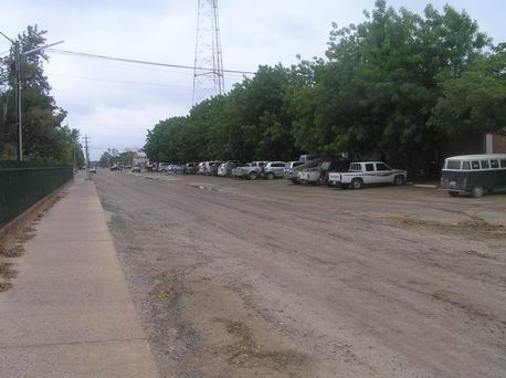
Wide streets in Filidelfia, Paraguay. The Mennonites settled here in the Chaco with land
given them by the Paraguay government so this hostle part of Paraguay was settled. It was a
very hard life until they learned how to deal with the low rainfall and hot weather. They have
been very successful. For more information on this interesting place do a "Goggle" search.
They speak German and Spanish. The last native tribe came out of the jungle in the 1960's. We
run into a few people who have spent time in the USA or Canada and could speak excellent English.
The streets all had German names! We found it a very interesting place. It was hot with it
being 104 degrees during the day the two days we were there.
More of the wide streets and it seemed most of the stores were set back a long ways from
the street. Some were in a long, long ways and were easy to miss. The have a lot more stores
than it first appears. The is an excellent cooperative grocery and general store with wonderful
meat, dairy products, fruit and vegetables and lots of bulk things as well as other supplies. We
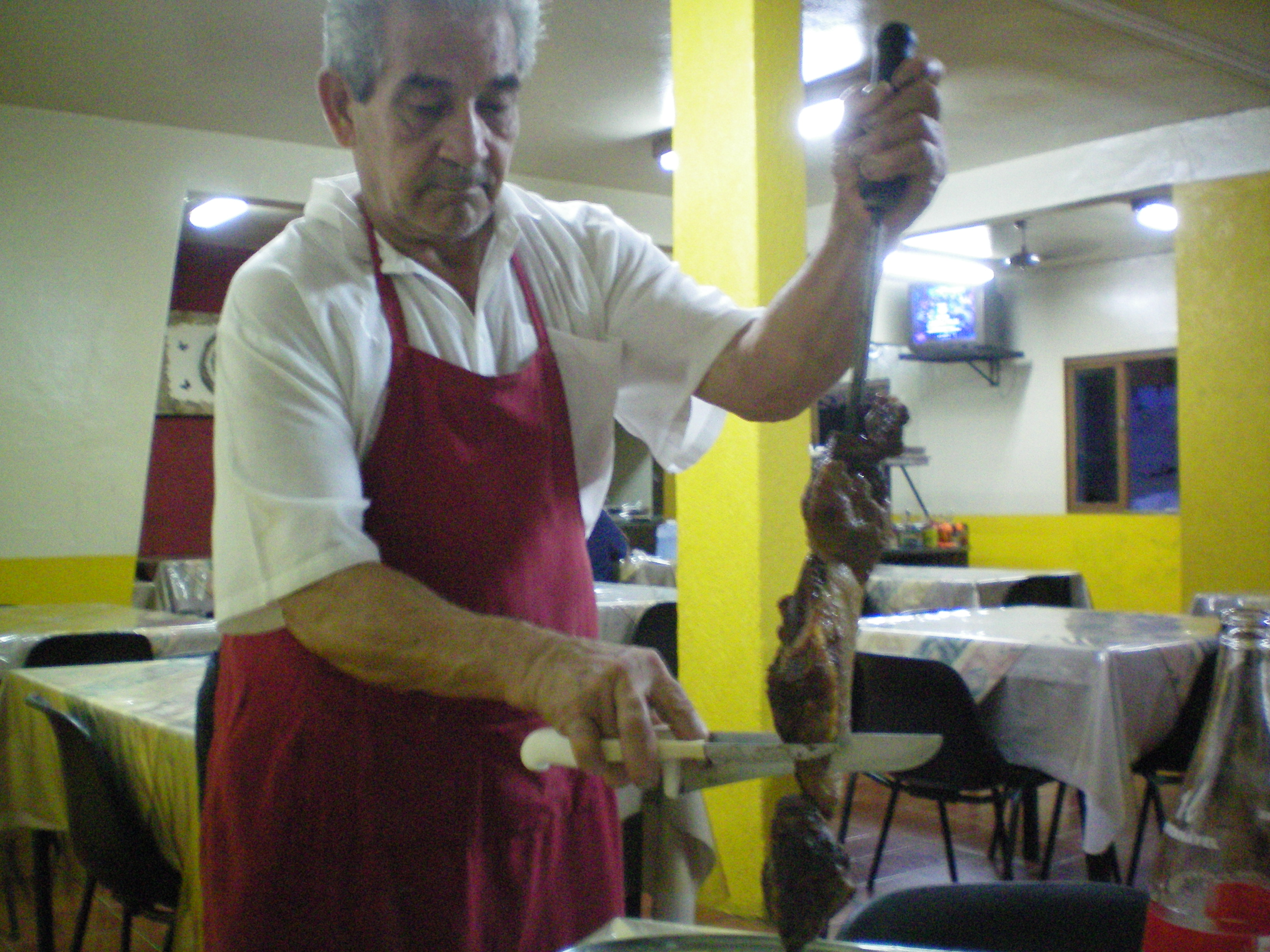
ate at a Parradilla which opens at 8 pm but you get all the beef you can eat. The chef slices it
off a spit that it is barbequed one. There is also a buffet with it and it included ice cream.
The second night we eat at the Hotel Flordia and it has some nice beef and other items on the menu.
The receptionists there can speak excellent English.
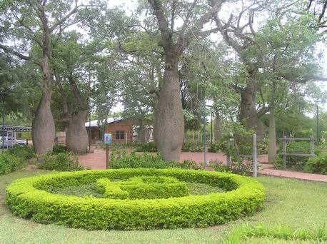
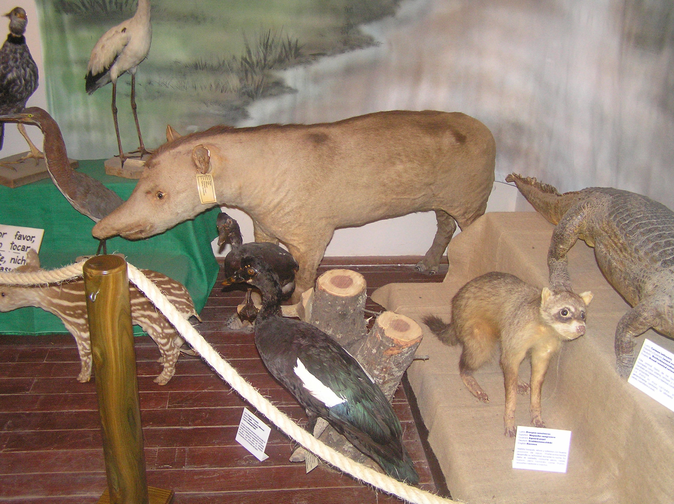
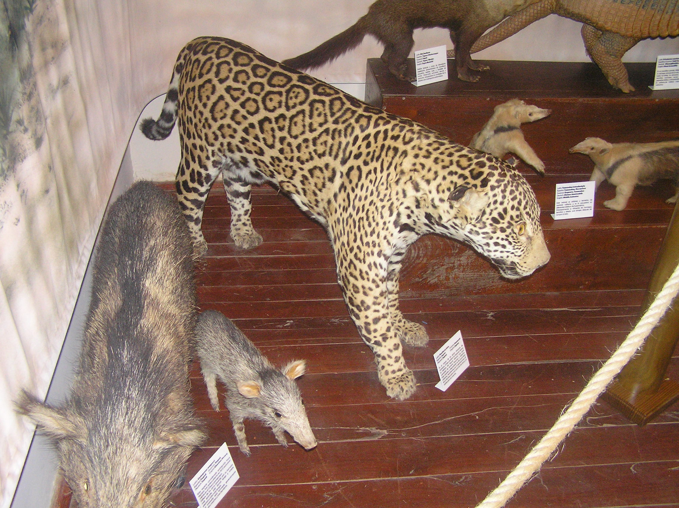
Park in the center of town with the museum of Mennonite history and stuffed animals of the
Chaco. Both places found someone who could speak English to show us around. The trees are
Boabab.

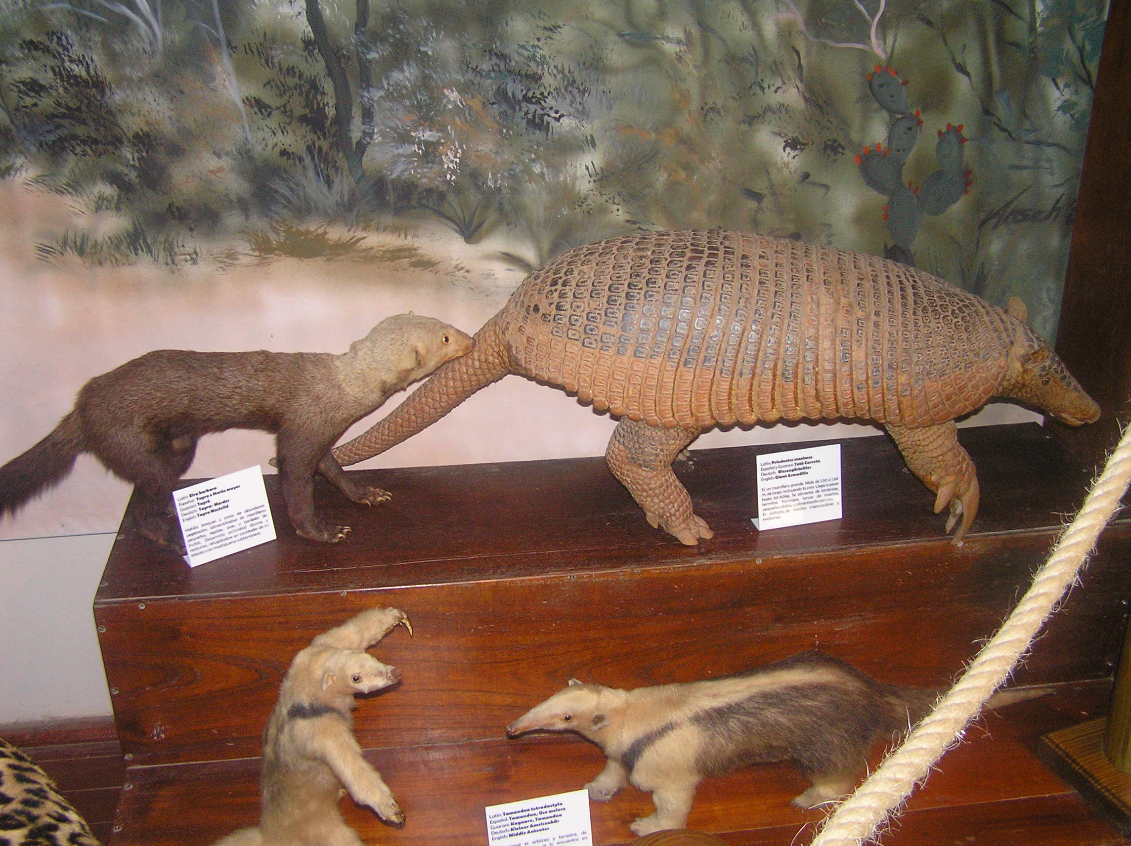
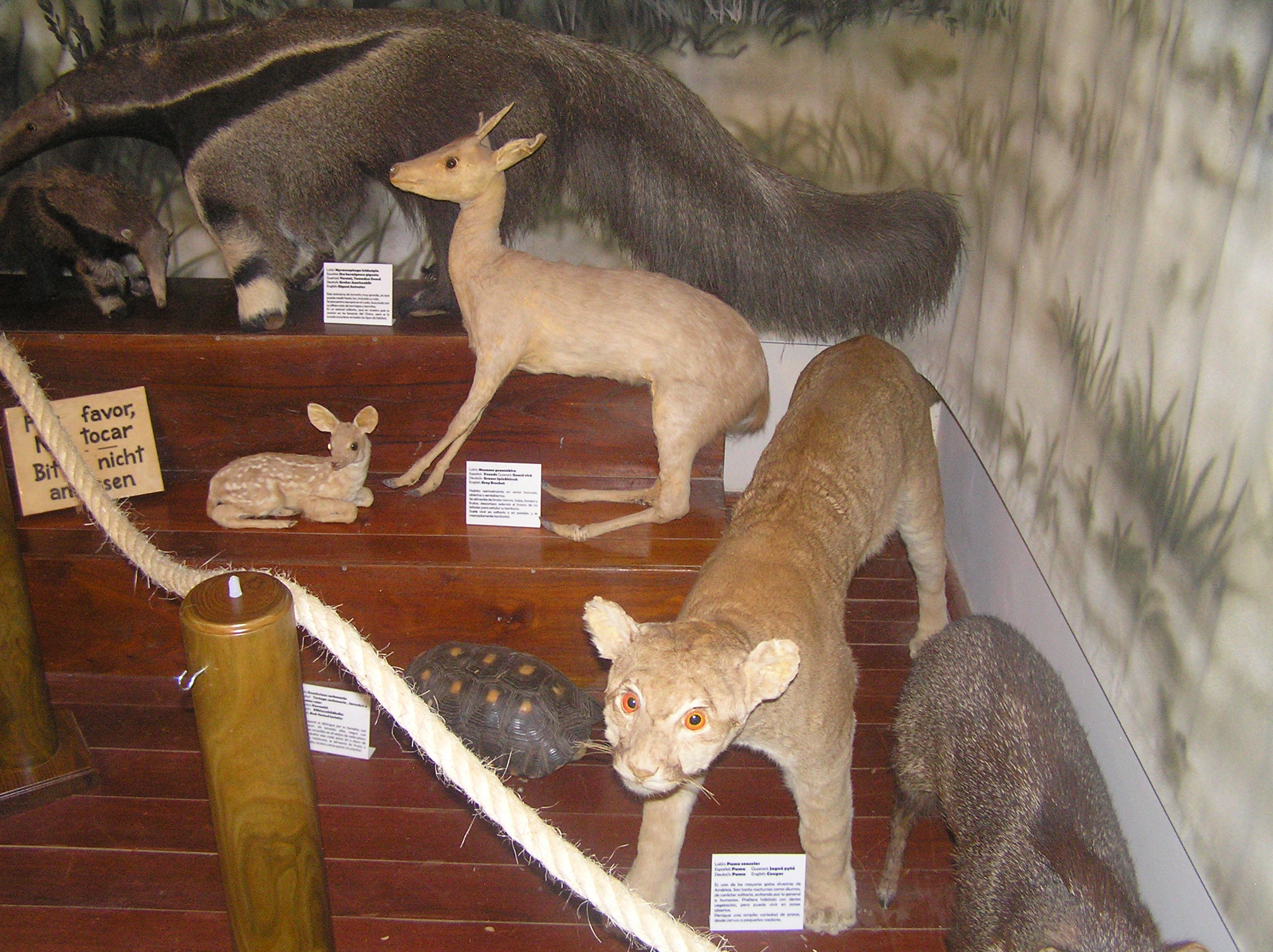
Animals of the Chaco.

Animals of the Chaco.

Animals of the Chaco.
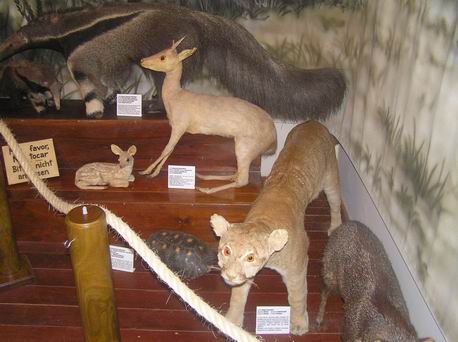
Animals of the Chaco.
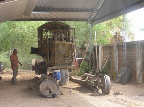
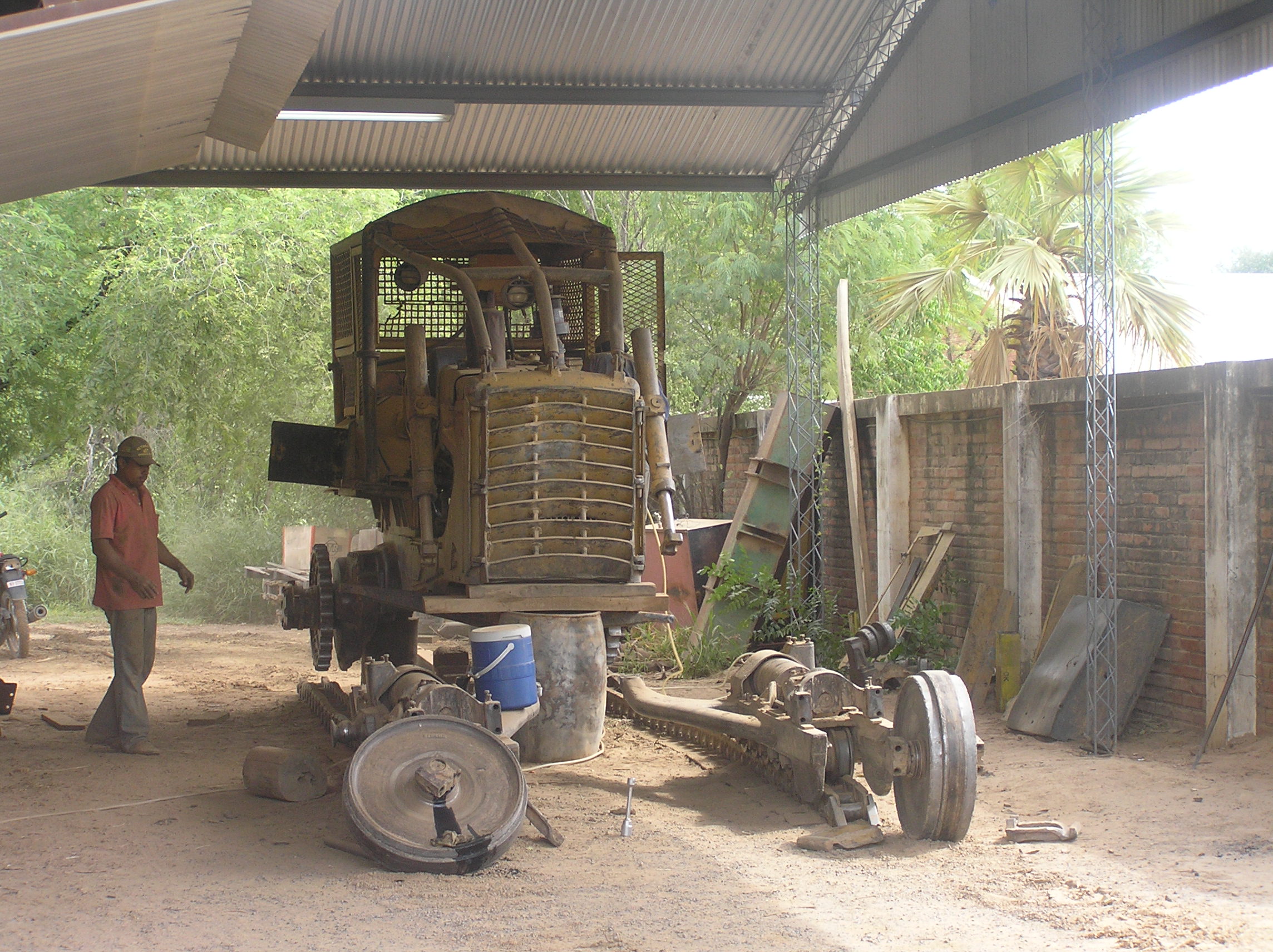
Large track tractor the Mennonites use.
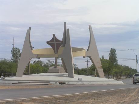
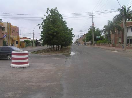
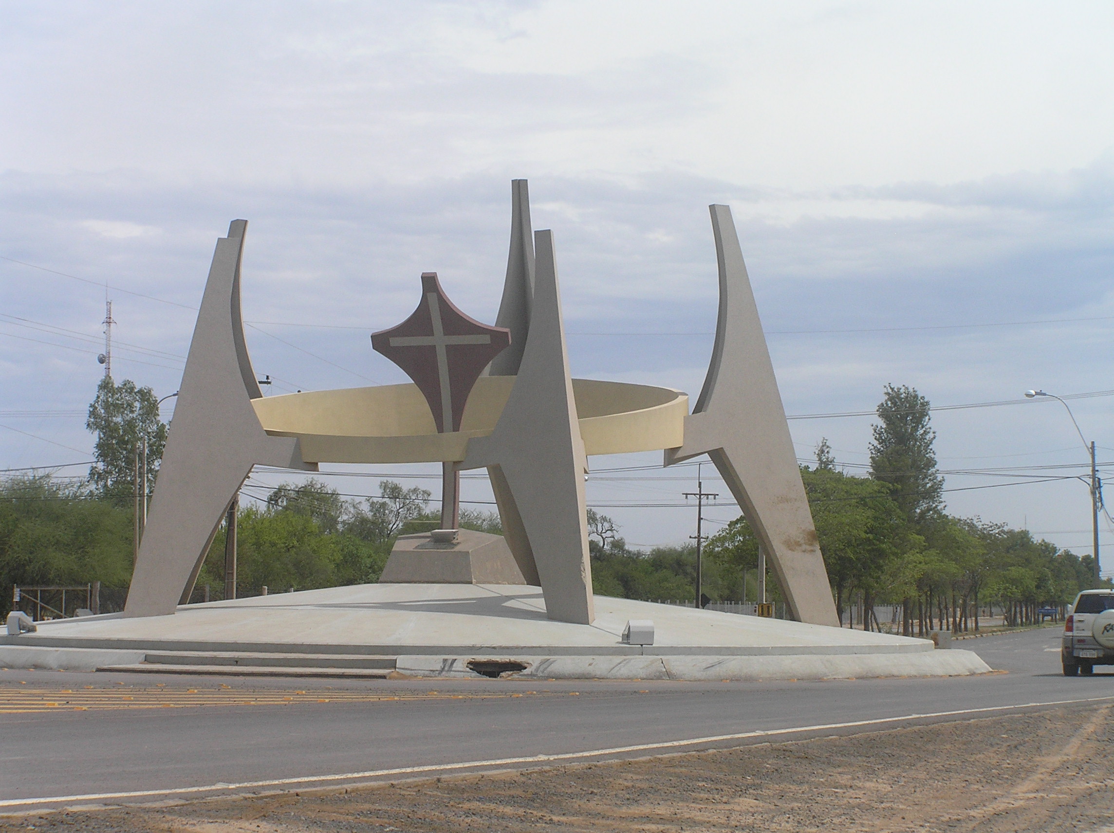
Entrance to Filidelfia.
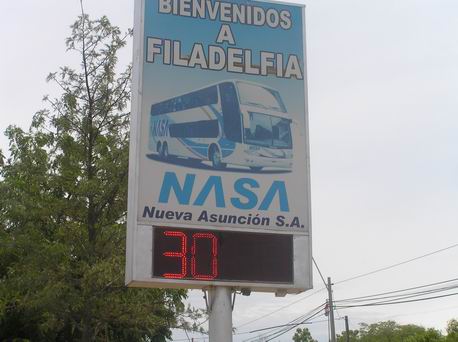
Sign on the main street showing the turn to the NASA bus station which is the only bus
station in town. When we came on the Trans Chaco we had to be dropped off about 10 km
from Filidelphia and wait for a bus. We actually were picked up by a pickup and he gave
us a ride to town for no charge. He spoke a little English and took us to Hotel Florida
which has wi-fi for free, pool, good air conditionings a a good breakfast with the room.
Note the 30 C. temperature.
Field near Loma Plata which is a town not to far from Filidelfia. It is a nice town
very similiar to Filidelfia but it would take a lot of walking to see it all and I don't know
if there are museums and as nice of a hotel. There is a lot of beef and dairy in the area as
well as farming. Most of the farming is with drought resistant crops and they don't expect big
yields year in and year out because of the harsh, hot summers.
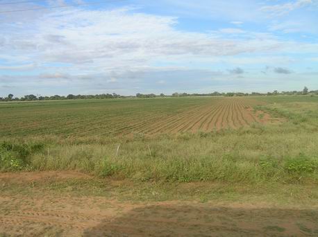
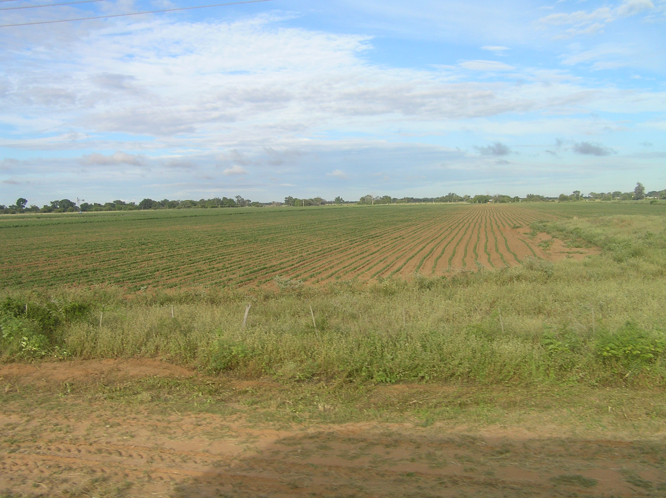
Crops got better as we traveled on the Trans Chaco and got closer to Asuncion.

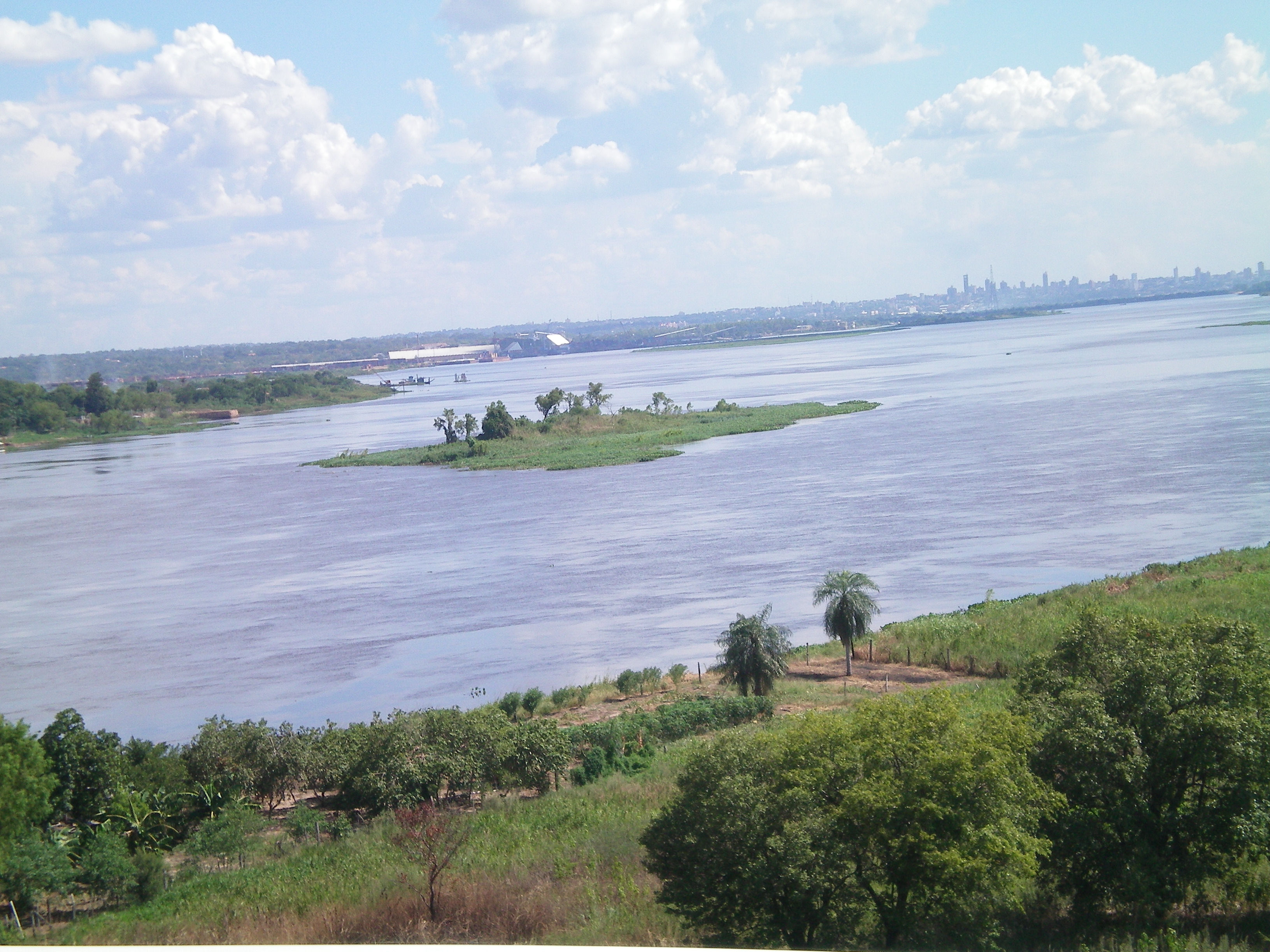
Rio Paraguay with Asuncion the capital of Paraguay in the back ground.
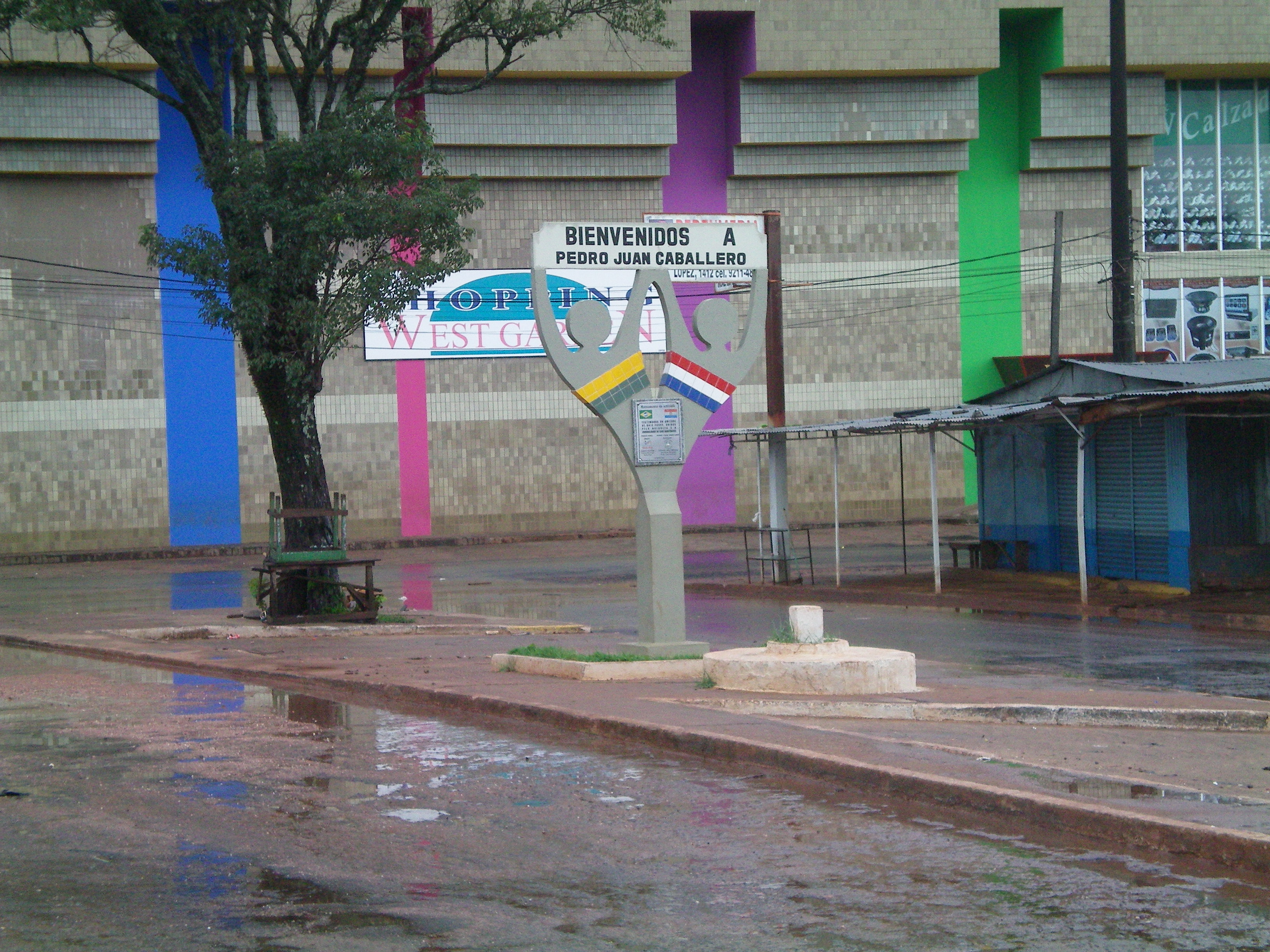
We had a lot of trouble getting out of Paraguay and into Brazil. The trouble was the
border is one of the most open in the world and we had to wait until Monday to find an immigration
office on each side of the border. This is a picture of the border with no control for 100's of
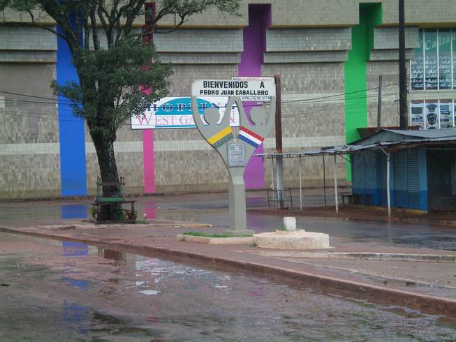
miles. This is in Ponto Pora, Brazil and Pedro Juan Caballero, Paraguay. You can read about it in the daily dairy travelogue.
We were to Jardim which is about 100 miles into Brazil looking around and technically we were
illegal as we had not done the paper work as the immigration offices were not open. I don't think
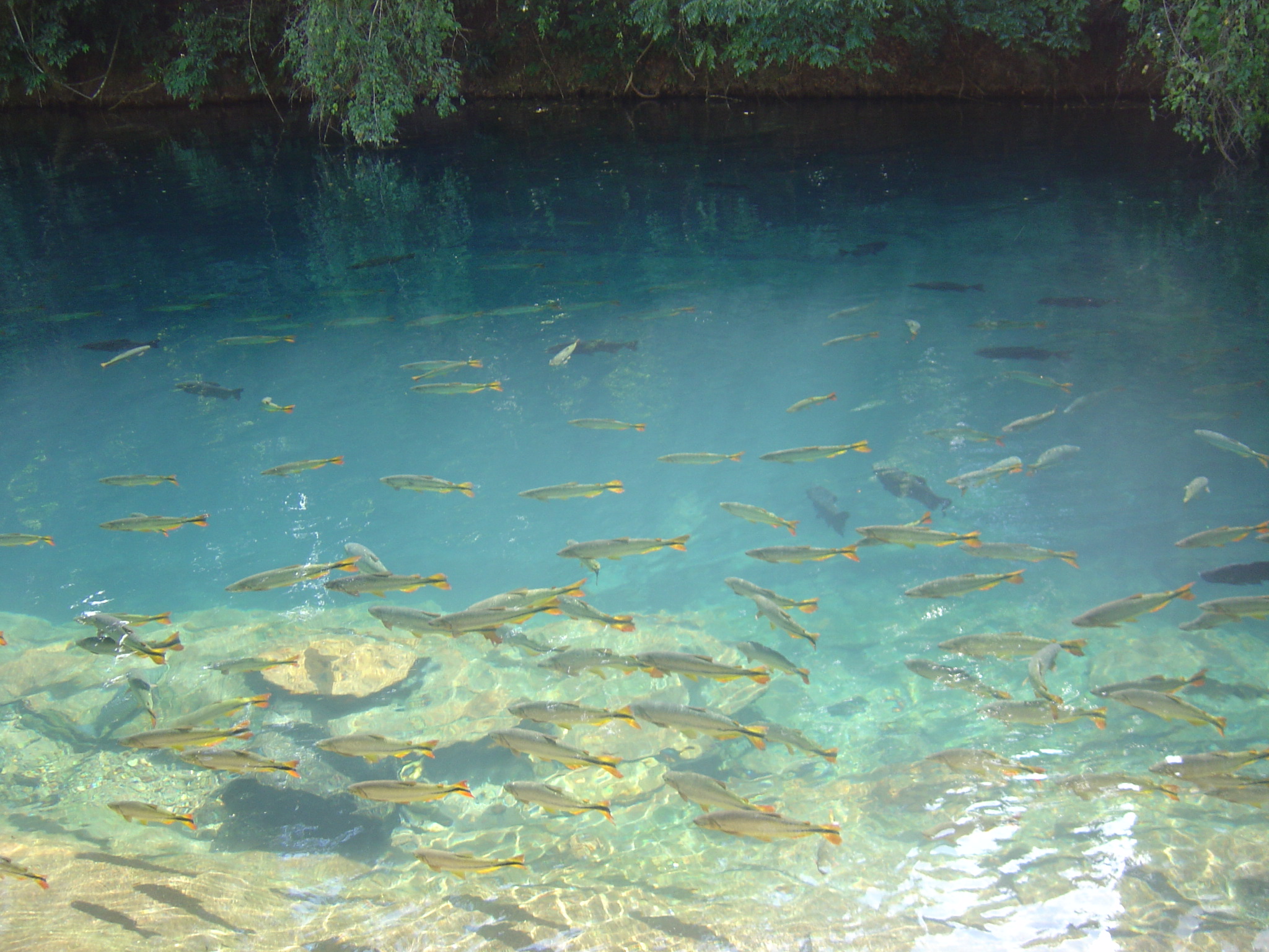
it would of been serious. This is close to an area called Bonita which clear blue water with
fish where you can snorkel, caves with water in them and waterfalls. This is a very popular
destination but we by passed it as we had done a lot of this in the Yucatan in Mexico and also
in Australia.

After 3 days we are finally in Brazil legally at Campo Grande the capital of the state of
Mato Grosso Do Sul. We had another great barbeque here, all you could eat. and a good buffet.

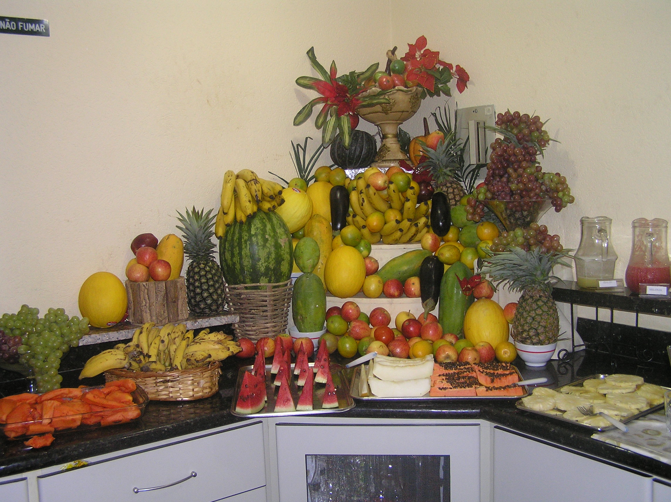
The breakfast that went with the room was fabulous in Brazil. We have never seen anything
like it anyplace in the world.
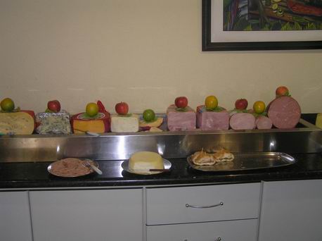
These pictures are all the same breakfast at the hotel in Campo Grande but every hotel
we went to had a breakfast similar to this. Everything you could imagine was available. One
thing that seemed strange was all the cake.
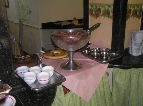
Still the same breakfast.

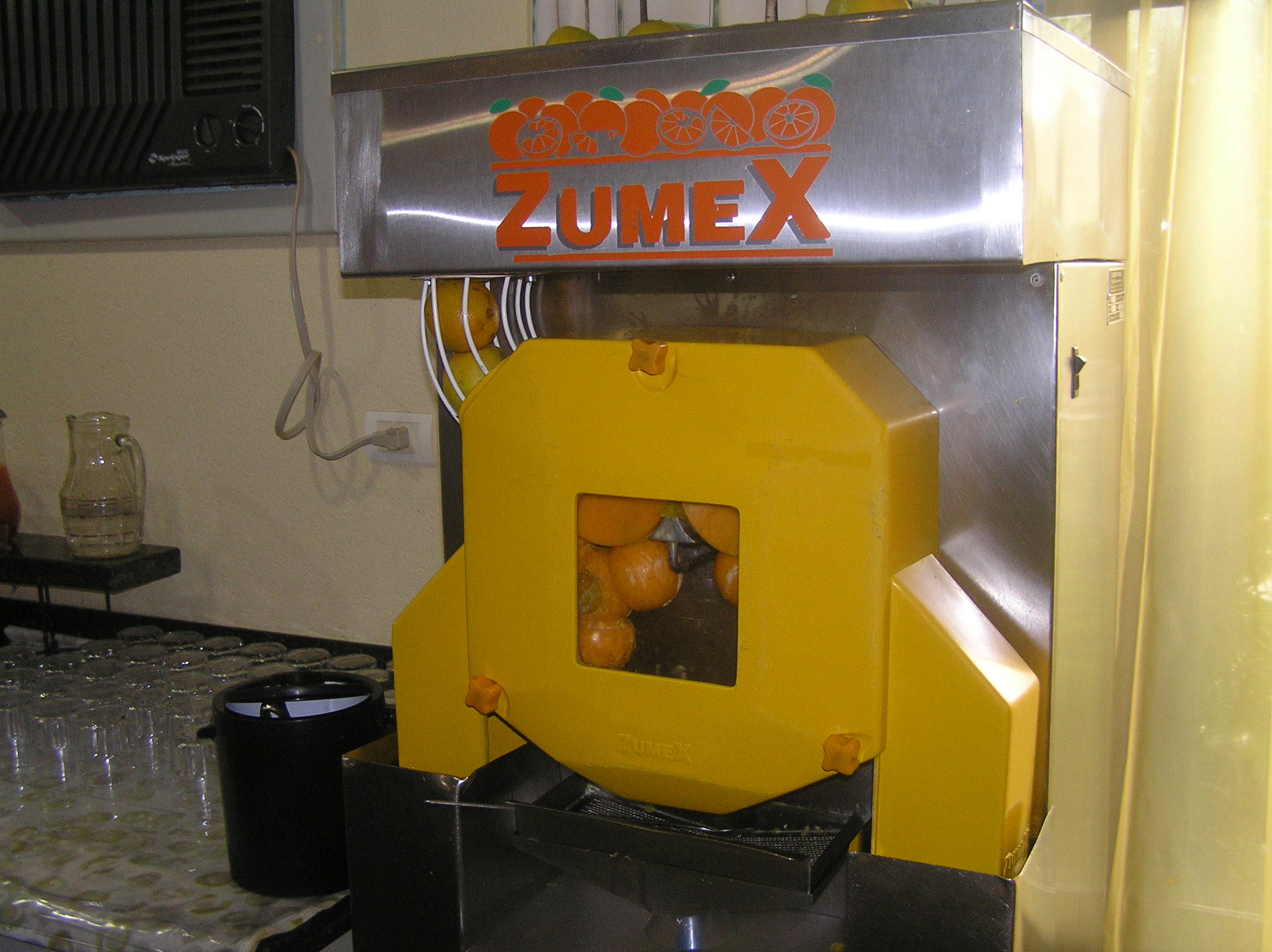
Still the same breakfast with a machine that made fresh orange juice from Oranges.
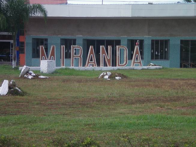
Miranda which is in the famous Pantanal area which is mainly in Brazil but also Paraguay
and Bolivia. It is a huge wet area that is at least the size of France and probably a lot
bigger. It is the better for seeing wildlife than the Amazon or anyplace in South America. We
had quite an experience here as we got off the bus and there were no taxis and it was all Portugese
so we could not get any information. We guessed where downtown was and walked and were blessed
to find it. It was a festival holiday so pretty much everything was closed. We found a hotel
and the receptionist could speak some Spanish and she had no idea about a tour of the Pantanal but
after awhile she remember there was one agency in town. She drew me a map and I found it and
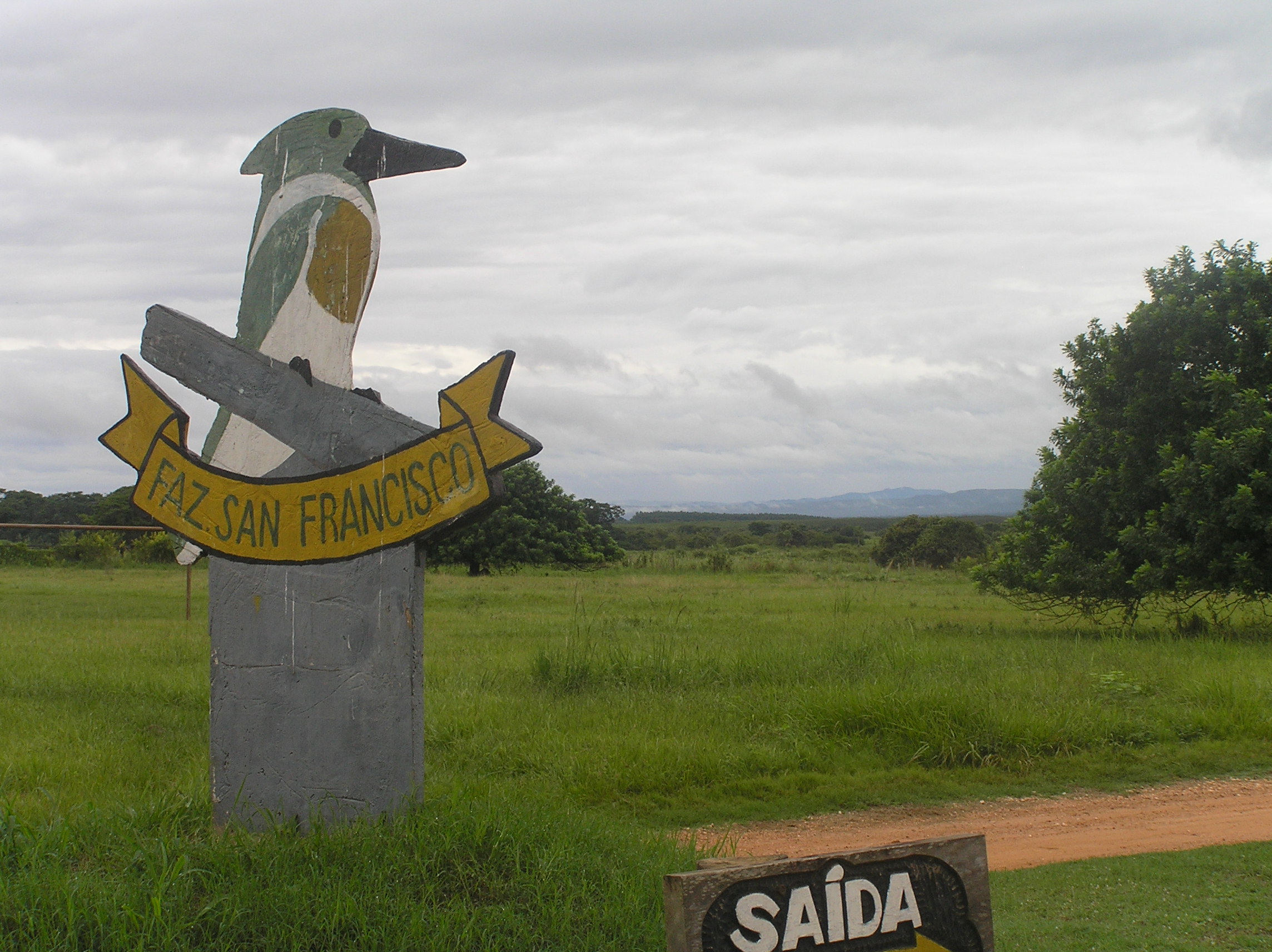
a it was open and the lady there could speak Spanish and we got a tour lined up for the Fazenda
San Francisco or in English farm San Fransico.
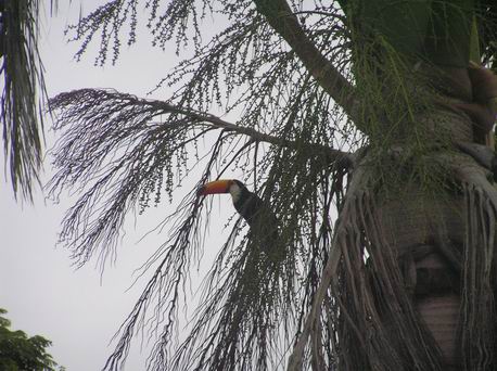
A Toucan right outside where we stayed in Miranda.
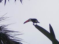
Another Toucan right outside in Miranda.
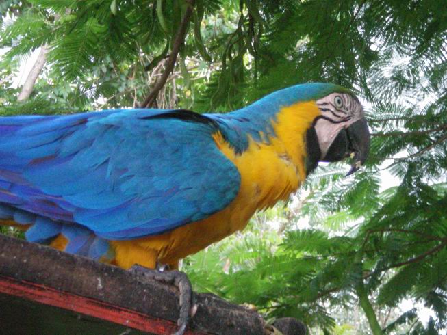
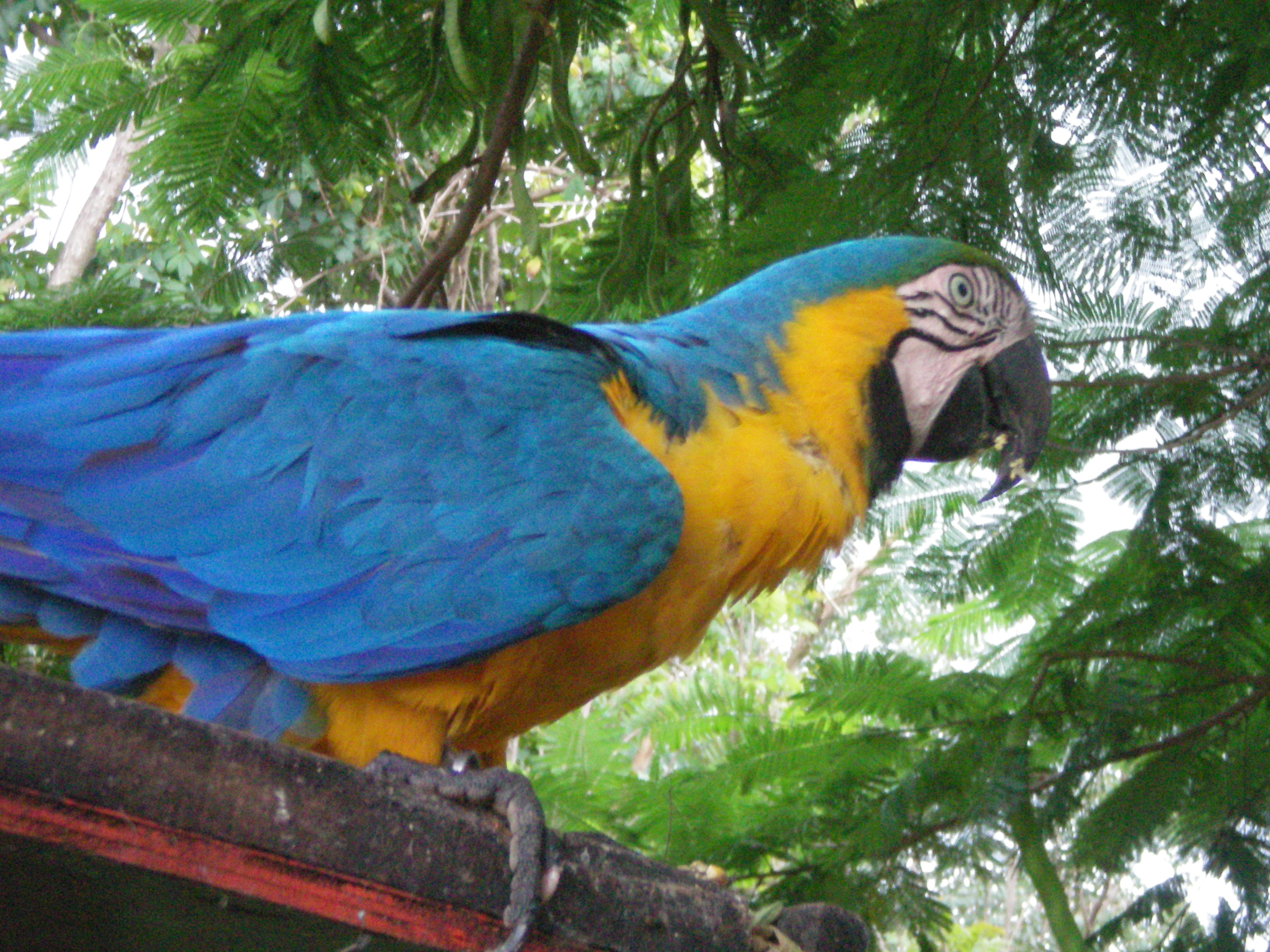
A Blue Macaw at Fazenda San Francisco.
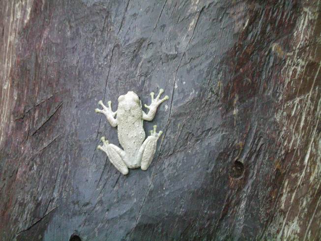
A white frog at the Fazenda.
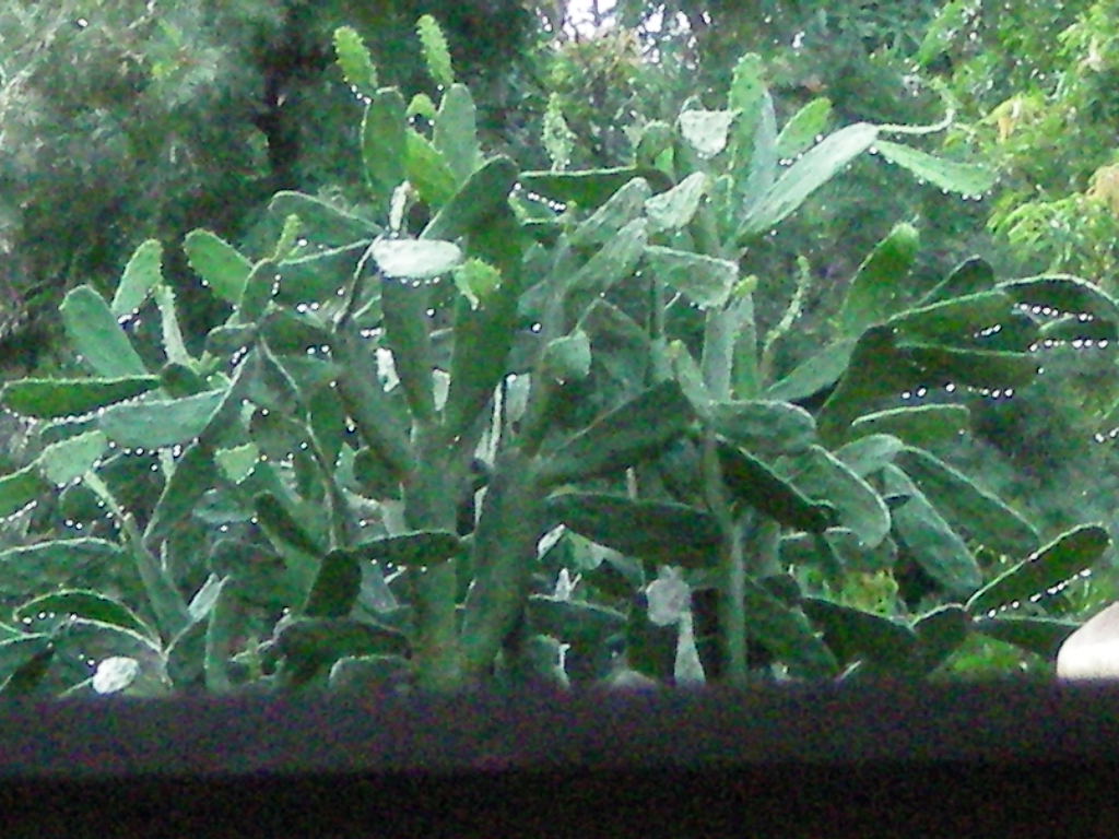
Cactus at the Fazenda after a rain shower.

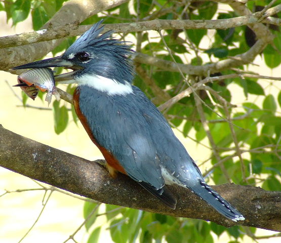
The trademark of the Fazenda was the Kingfisher, in Spanish San Martin Pescador(fishing).
We could of saved some money by arranging to go to the farm ourselves. There should be a way,
possibly they would pick you up at the highway but it might be hard to arrange without a telephone.
There are several tours and activities. You can also stay there at night for a reasonable
cost. You pay for the tours you want. The way we did it through Aquas de Pantanal Tours
is not bad as they furnished transportation out and back although it was not cheap. Tours of
the Pantanal are not cheap and have really went up almost 100% over the past 5 years. Everything
with the agency and the farm and the transportation and two nights stay at the ageny hotel which
is very nice and a tour of Miranda area and transportation to the bus station was just under
$500.00. We did the morning, afternoon and night tour at the farm. The have a large rice and cattle
farm and they have about 15000 hectares and about 10000 hectares are untouched and in the Pantanal.
They protect the Jaguar so about 60% of the night, spot light tours see them. They are very hard
to see in the Pantanal because for years they were hunted and poching was terrible but that has
vastly improved and they sacrifice some cattle to the Jaguars and make it up with there tourist
business. It is nearly all Portugese spoken here but one grand daughter can speak excellent English and one
guide. We were again blessed as we met our 4th and 5th USA people on the tours and they had a
friend along from Brazil and he spoke English and translated for us. The left before the night
tour but we met a couple from Israel who spoke English and could understand the guide enough even though
I think they did not speak much Portugese but she was excellent with Spanish. It was there second
night tour and they said it was much better than the night before.
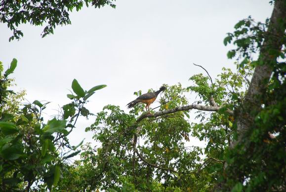
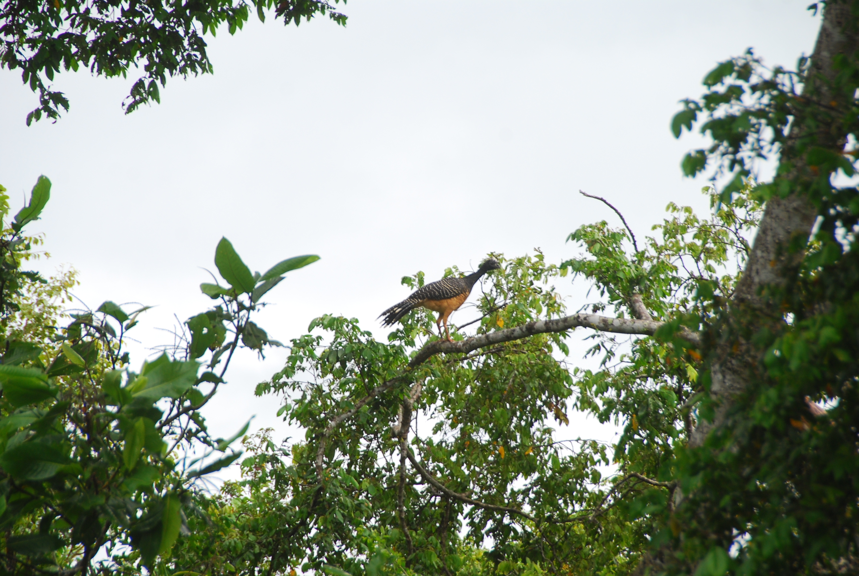
This was a Mutumde Penacho. This might be the Portugese name?
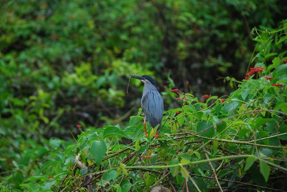
This was a type of Heron.
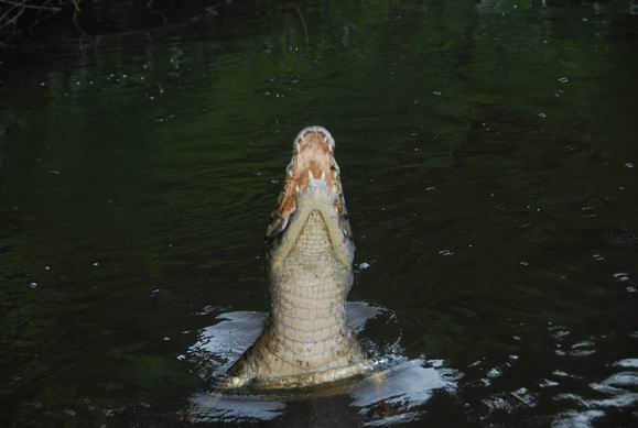
Caiman which does not get as big as a crocodile.
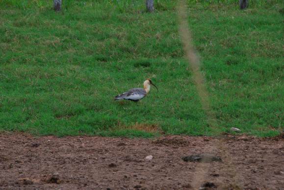
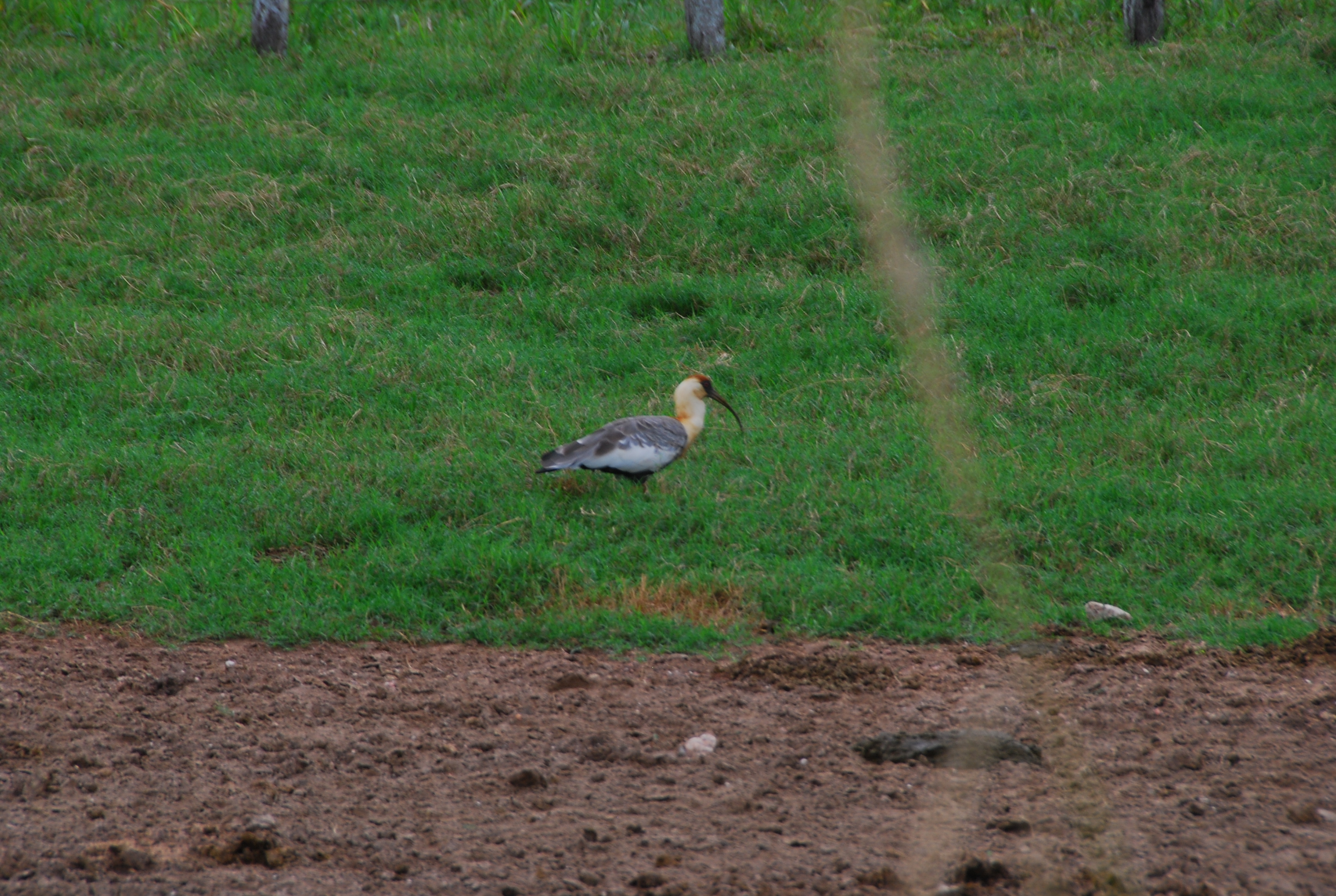
I believe this is a type of Crane.
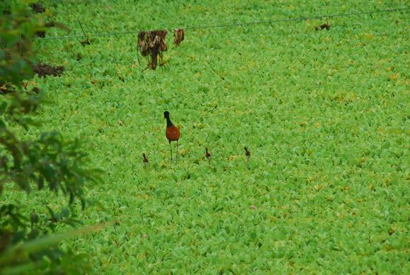
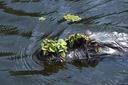
Bird that walks on the water plants. The young hatch and start walking immediately to
stay away from the Caimans.
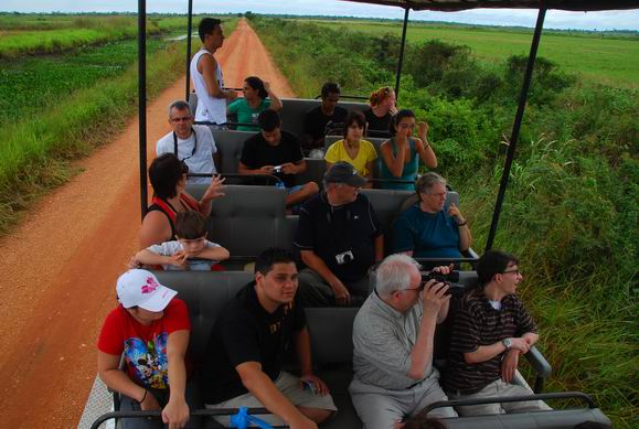
In our wildlife tour vehicle.
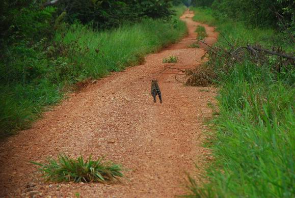
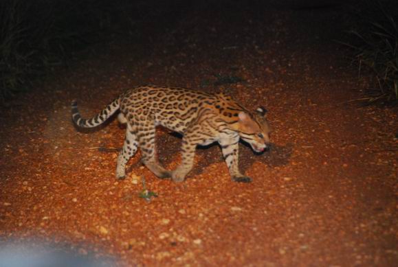
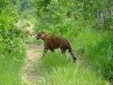
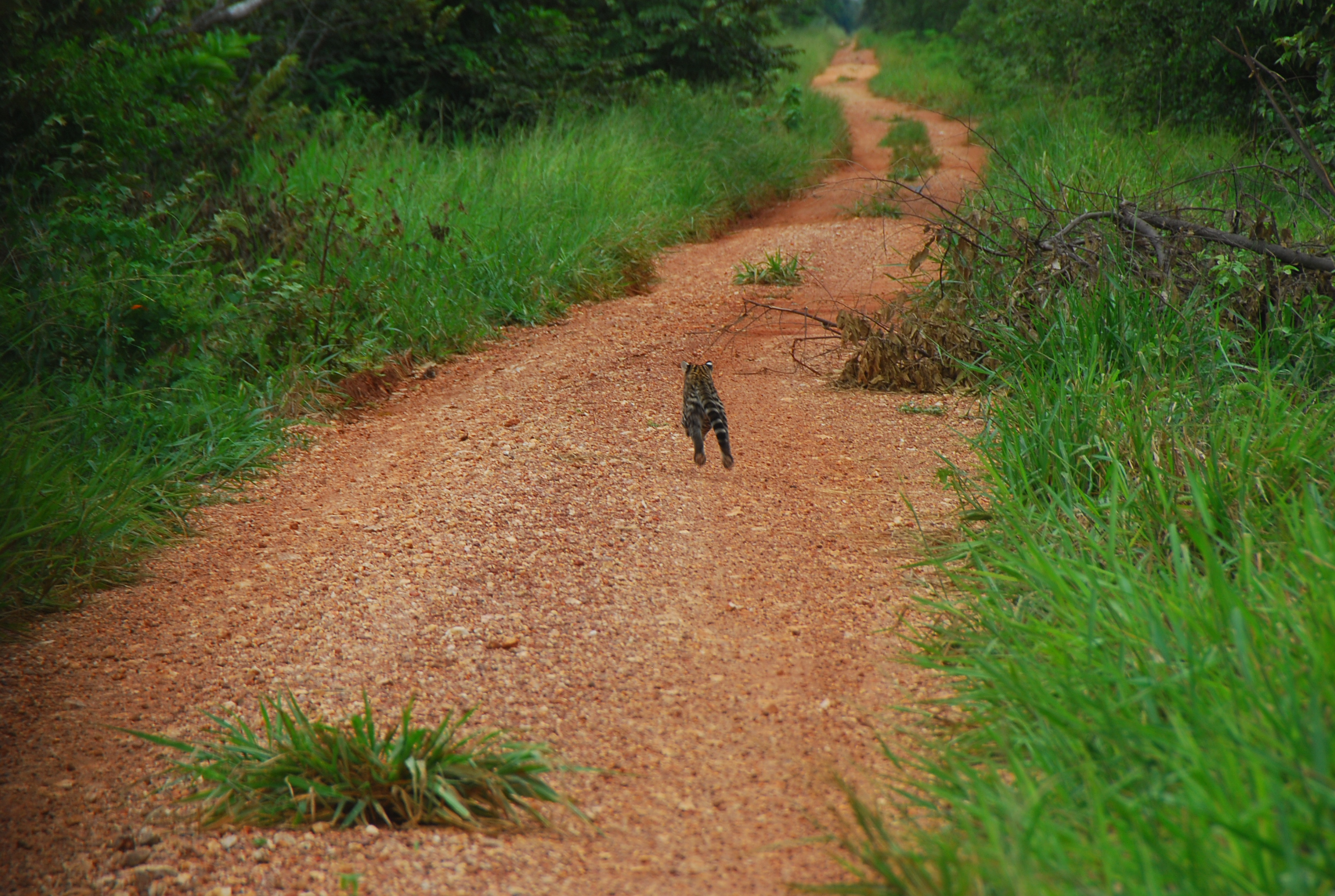
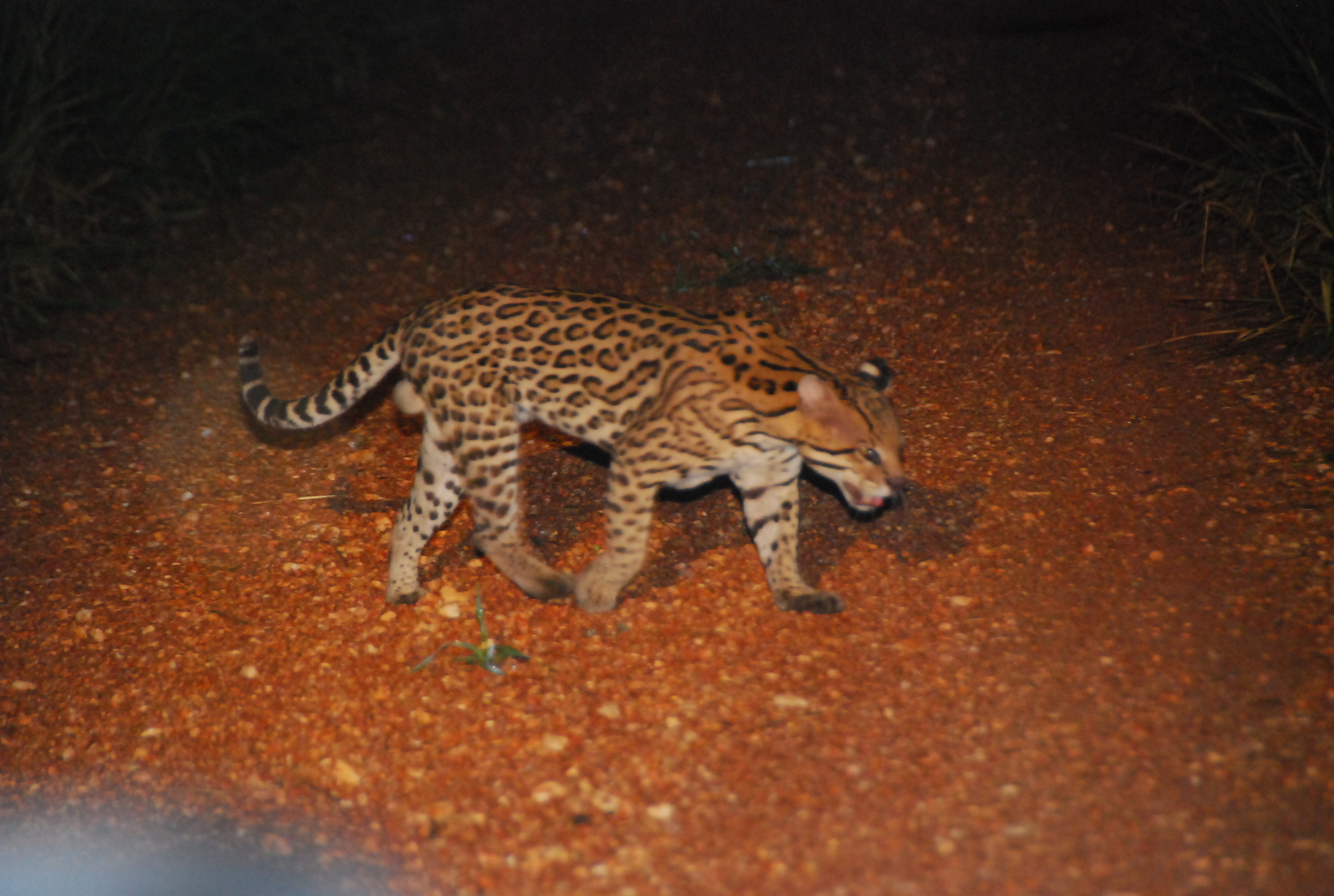
A very unusual sighting of an Ocelot during the day. They look exactly like a Jaguar
but are smaller. The guide said they very rarely see one on the day tour.
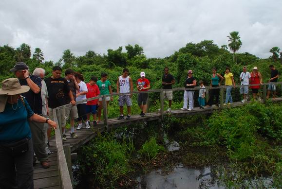
Walking on a board walk in the Pantanal. The water was about 3-4 feet deep now
during the rainy season. It was about 2 feet higher and over the board walk about 3 weeks
earlier. It pretty much dries up here during the dry season which would be centered on July.
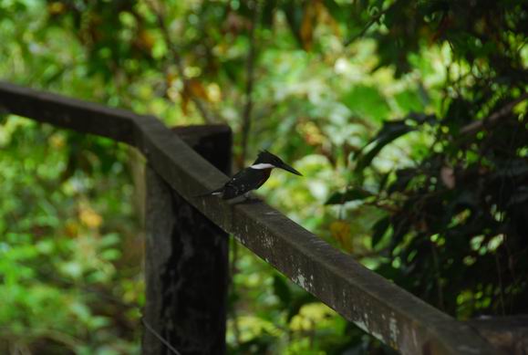
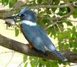
Another type of Kingfisher.

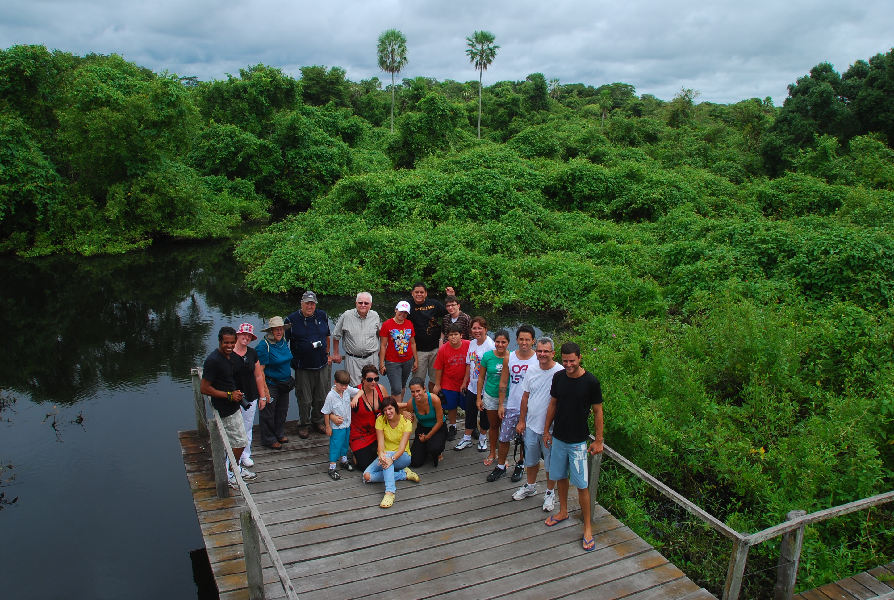
Our group in the Pantanal, this shows what is typical for the Pantanal.
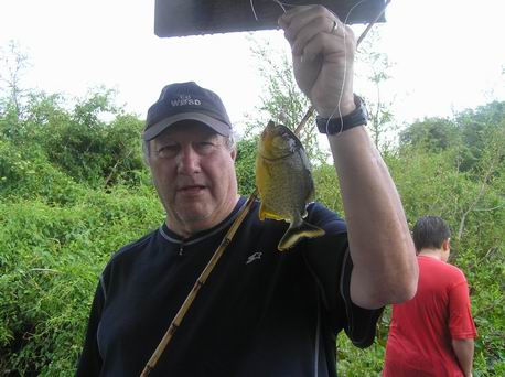
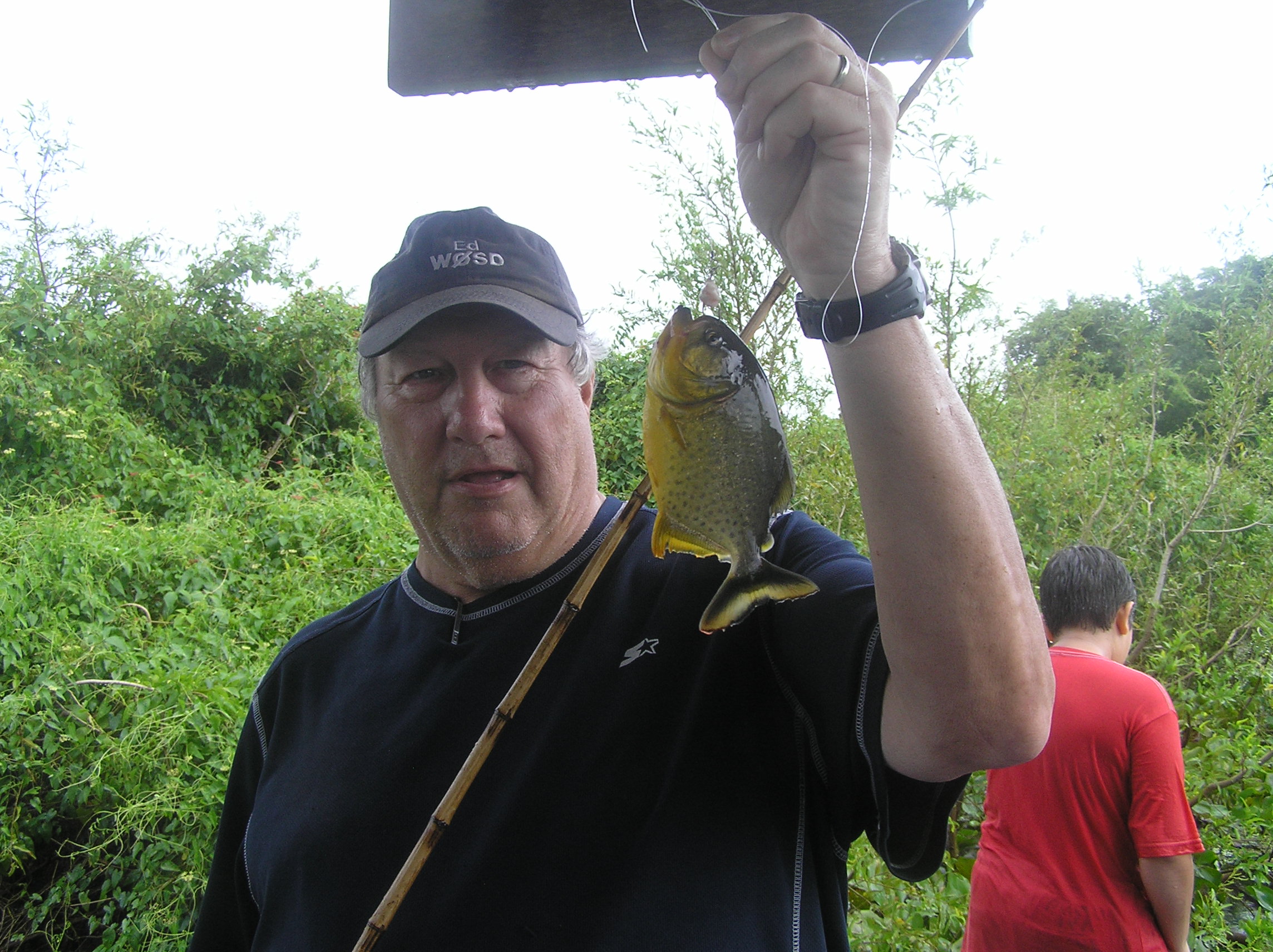
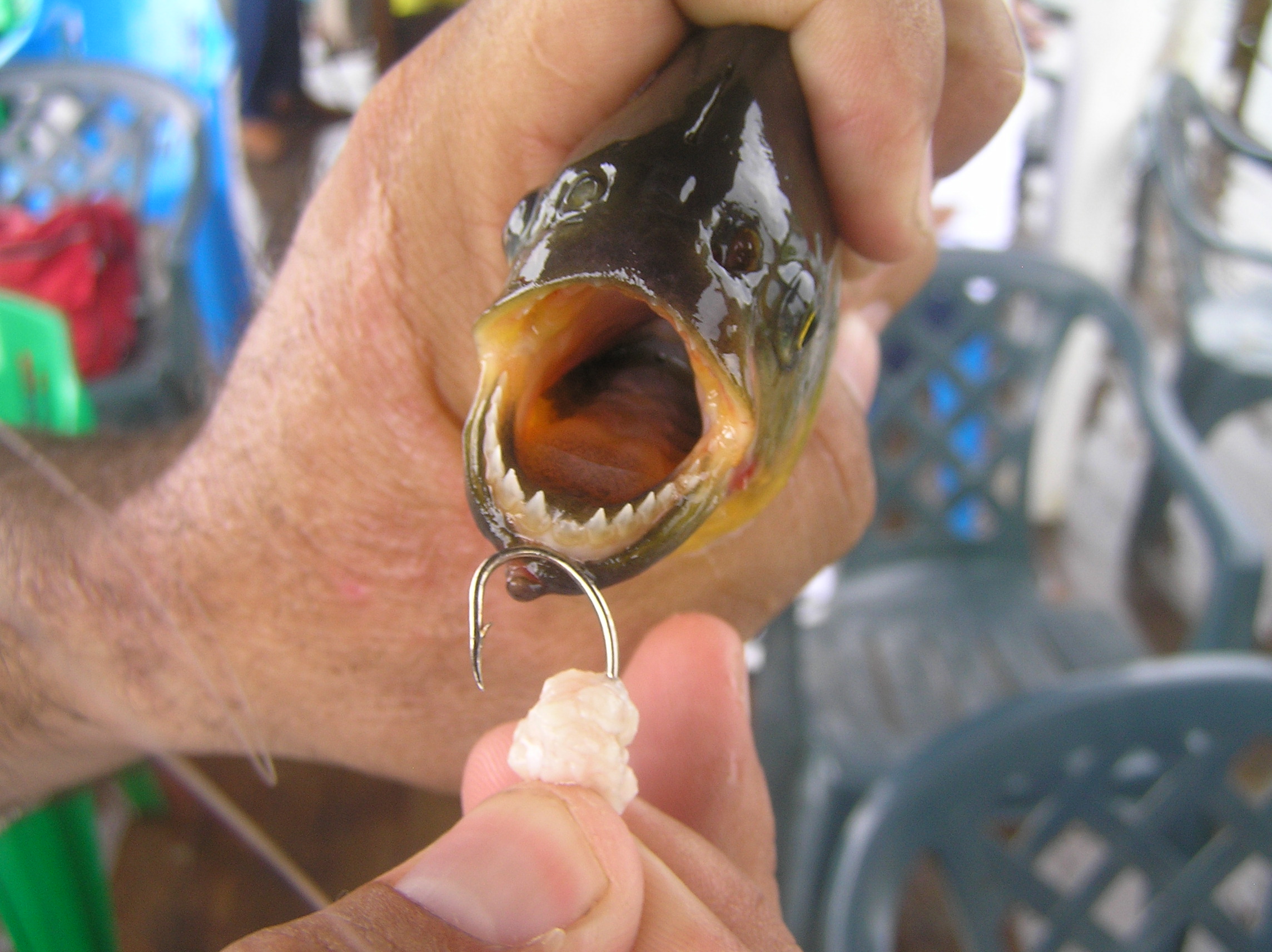
The Piranha I caught. The nibble at the bait and are hard to hook. They are good eating.
THere were many, many of them as you instantly had a nibble when you put your bait in.

See the teeth!
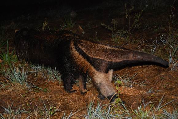
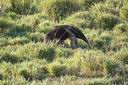
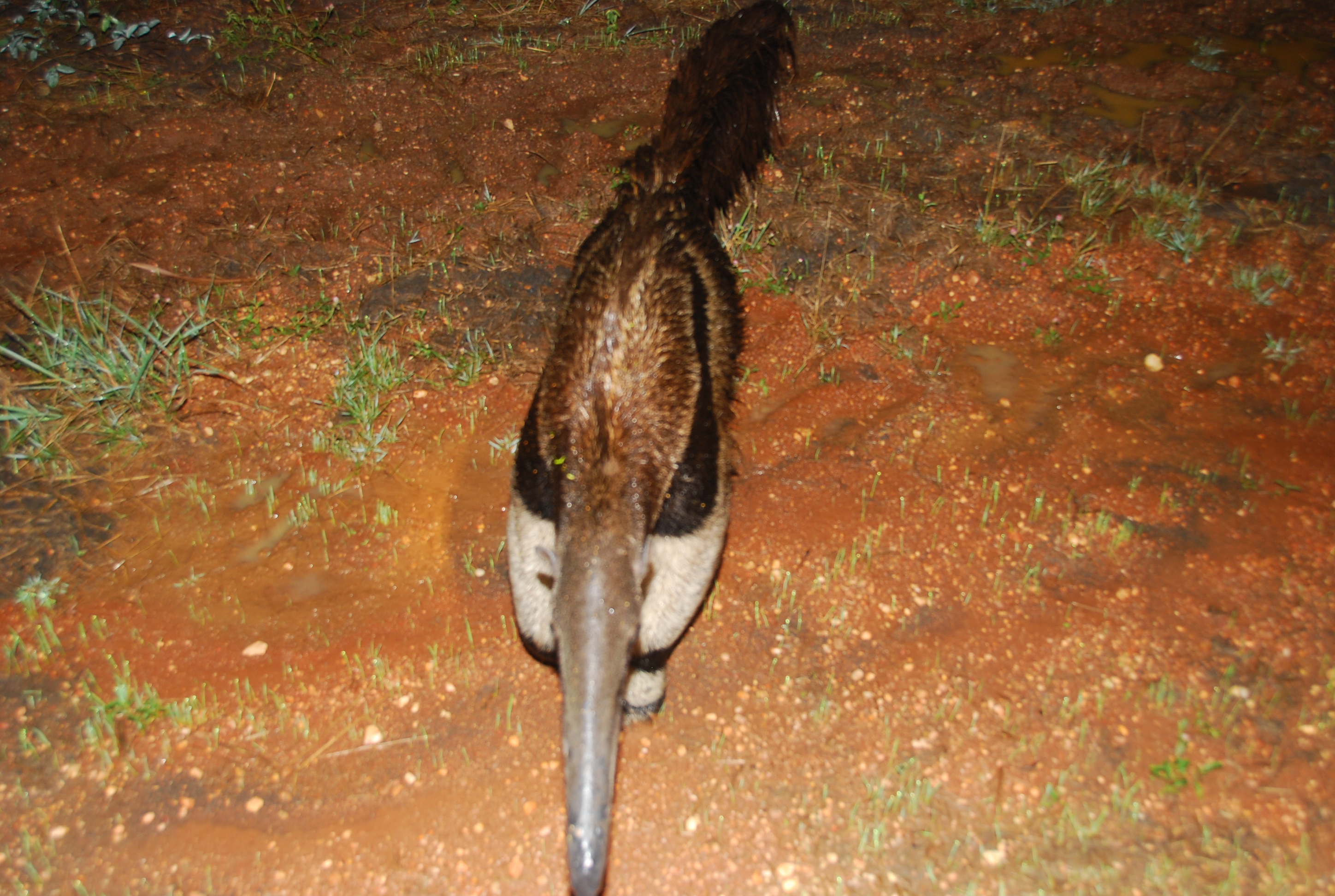
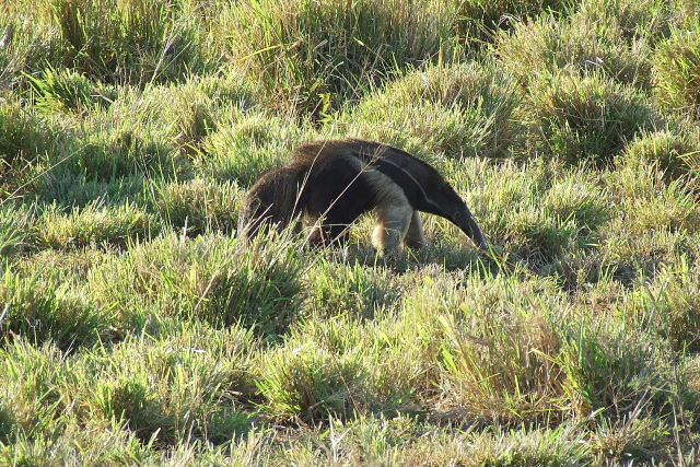
Giant Anteater, the noise is on the right hand side of the picture. This was on the night
tour.
A smaller Giant Anteater.
This is one of two Ocelots we seen on the night tour for a total of three for the day.

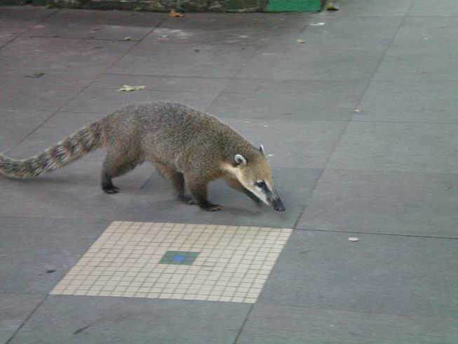
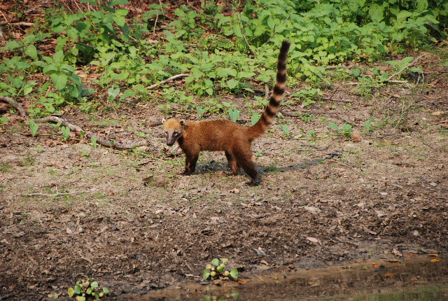
A Coati which is in the racoon family.
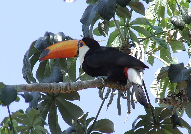
A fantastic close up of a Toucan. They are shy and also other birds chase them as they
eat there eggs in there nests.

Scarlet Macaws which are quite rare in the wild here.
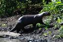
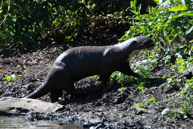
Otter in the Pantanal. We also seen one at Tortuguero in Costa Rica but was not able to
get a picture.
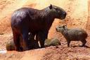
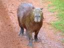
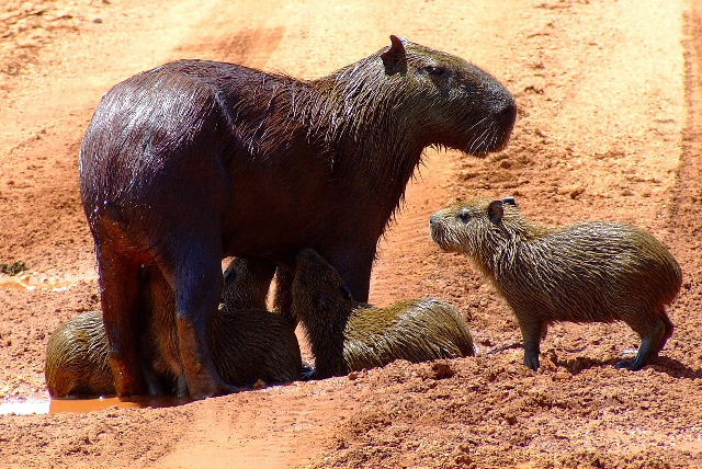
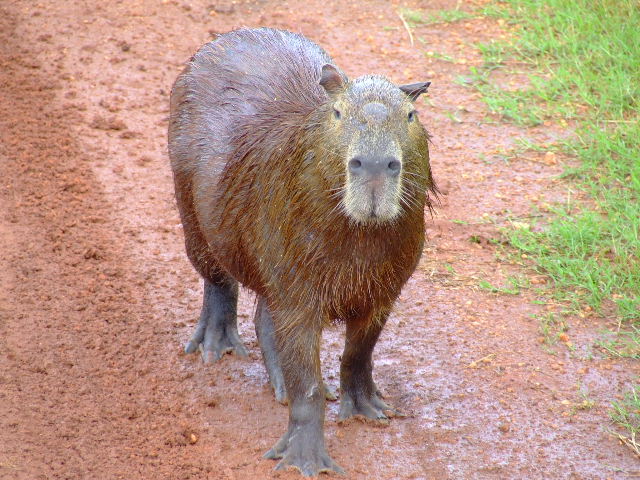
Capybara or in Portugese Capivara which is the largest rodent in the world. They have many
young as the mortality rate is high from other preditors.

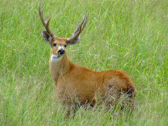
Marsh Deer.

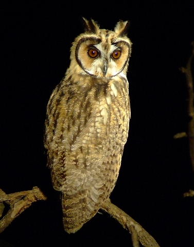
Owl on the night tour aS they are only out at night.
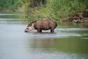
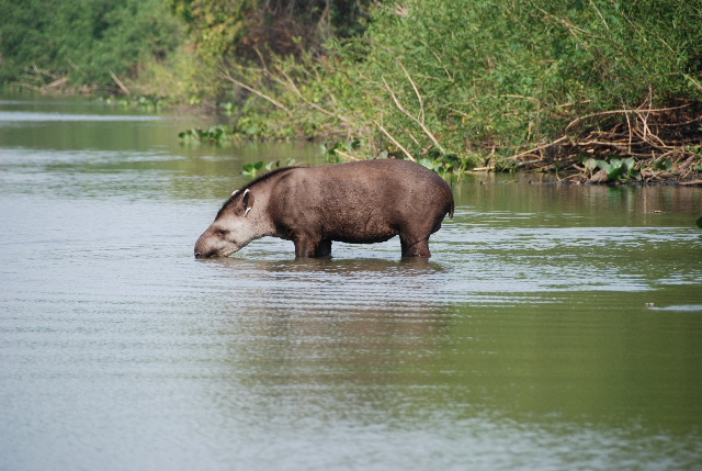
Anta-Tapir in the Pantanal.

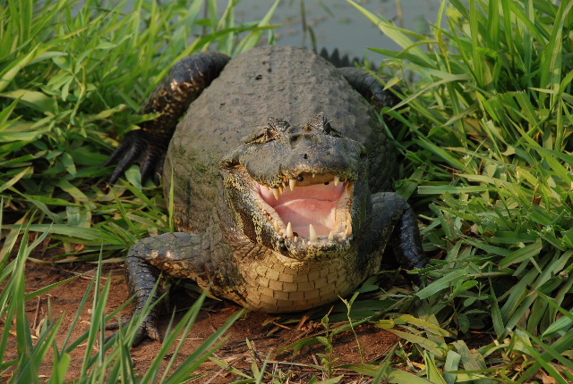
A large Caiman.
Another Capybara, there are many. There hides make very, very soft leather.
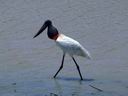
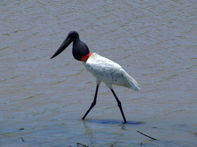
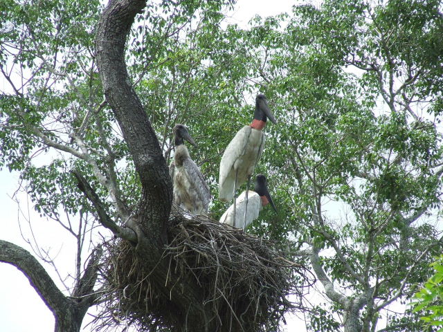
The stork the trademark of the Pantanal along with the Jaguar and Puma. The storks are
very plentiful.
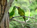
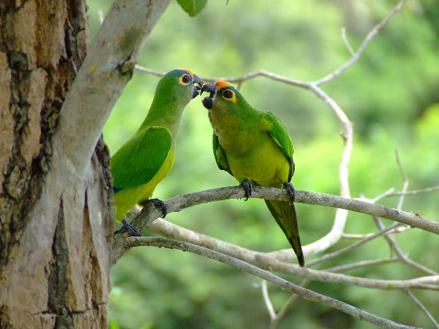
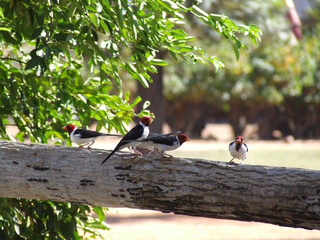
Great photo of a pair of Green Parrots. We seen many of them.
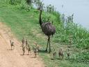
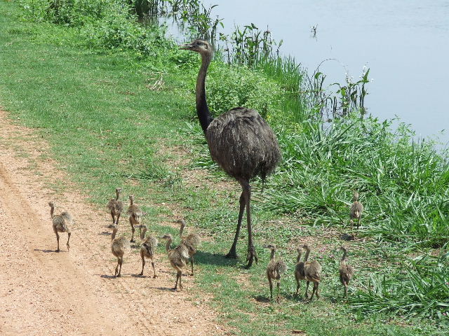
A Rhea or in Portugese an Ema. They are wild and very plentiful.
Young Caimans.
Another great zoom shot of another Toucan.
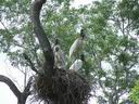
Stork nest.
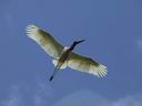
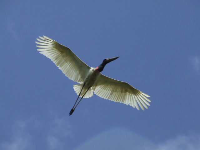
Stork in flight, very beautiful!
Woodpecker species.
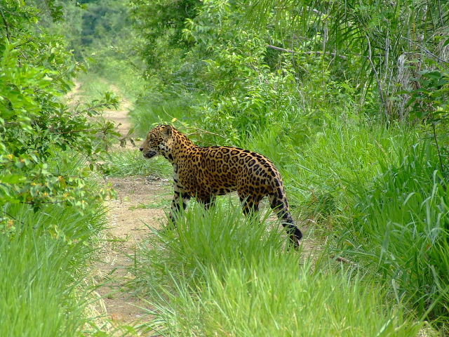
A Jaguar daytime sighting on the farm. This is the only animal that I have shown a picture
of that we actually did not see on our tours the day we visited the farm but we did see three
Ocelots which are nearly as hard to see as a Jaguar. Puma's are rarely seen.
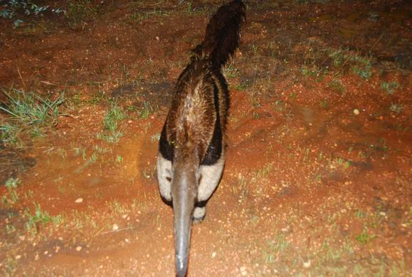
Another Giant Anteater, we were blessed with seeing several, one of which was huge.
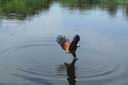
Fish Eagle. These Eagles watch the boats as they know they often throw Pirahna out for
them. Sure enough it came swooping down and we got a fabulous picture.
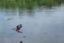
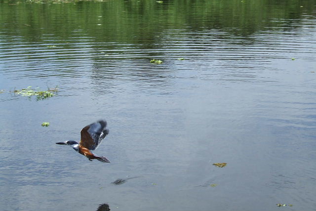
A beautiful Kingfisher in flight.
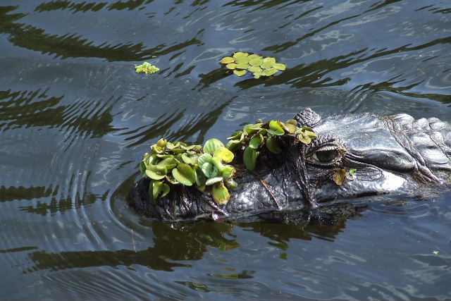
A sneaky Caiman looking for a meal!
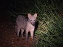
One of two foxes we seen on the night tour, this one was the closest.
Probably the photo of the day along with the Ocelots.
Everyone tried to talk us into going to the nearby Bonita area in Brazil south of the Pantanal
but since we have seen things very similiar in the Yucatan and Australia we chose not to go but if you go
to the Pantanal you definitely want to consider the Bonito area where you can swim with the fish,
swim in limestone caves and see a nice waterfall. The water is extremely clear and blue. These
sites are spread over quite a distance. Approximately 100 km.
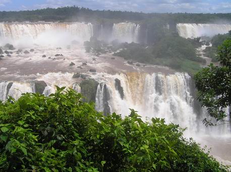
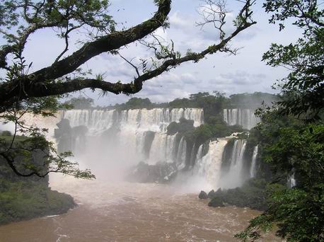
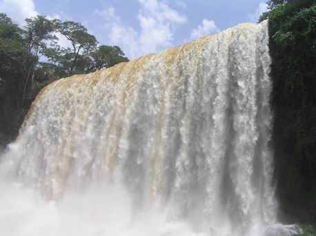
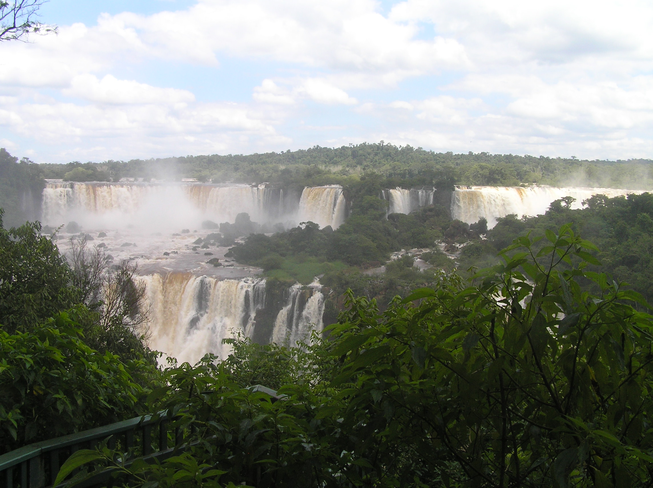
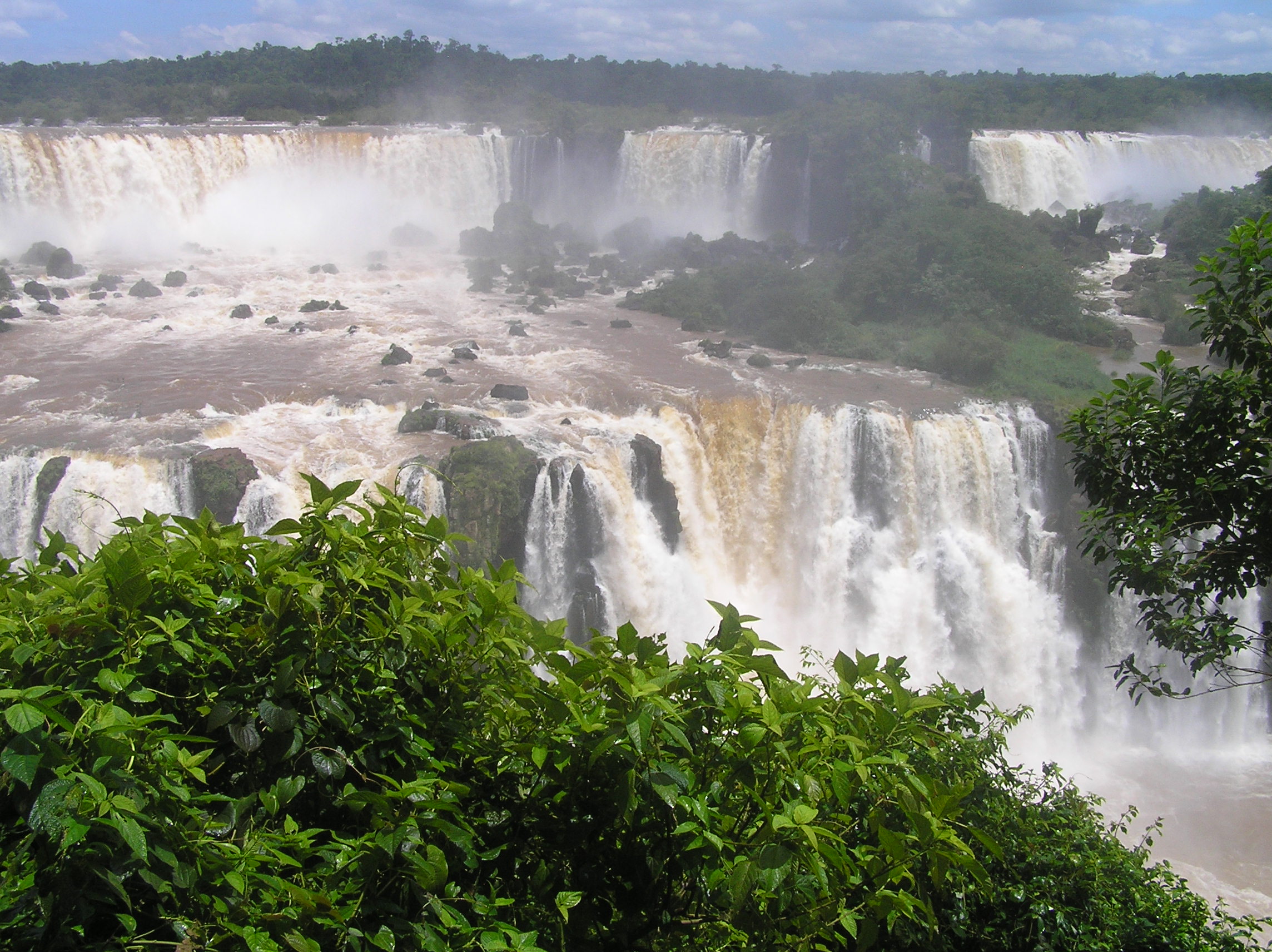
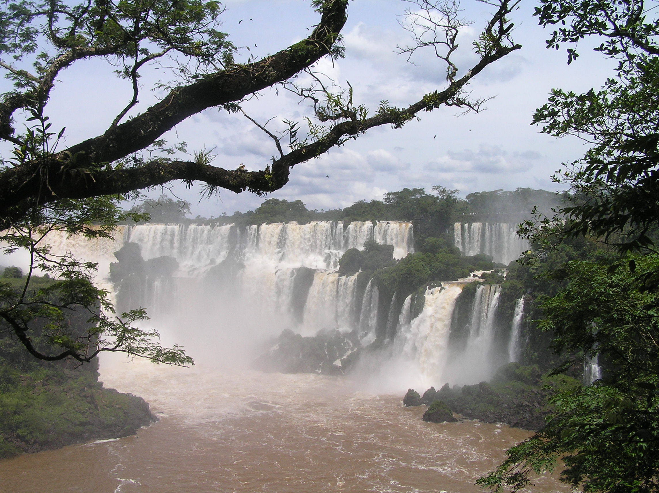
Don Alvar Nunes happened upon the Iguazu Falls in 1541. He was a Spanard.
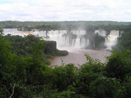
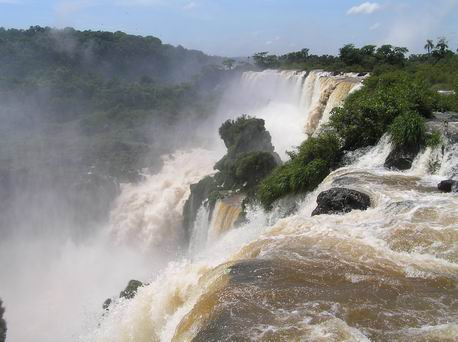
The are a total of 275 individual falls making up Iguazu Falls. It covers and area more than
3 KM wide and 80 meters high. It makes them wider than Victoria Falls which we have been to and
agree with and higher the Niagara. Most people would rate it the most impressive falls in the
world. This picture from the Brazil side is just a small portion of the falls on the right hand
side as it stretches for 3 km. This would be about 1/4 of it.
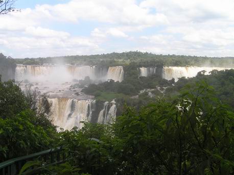
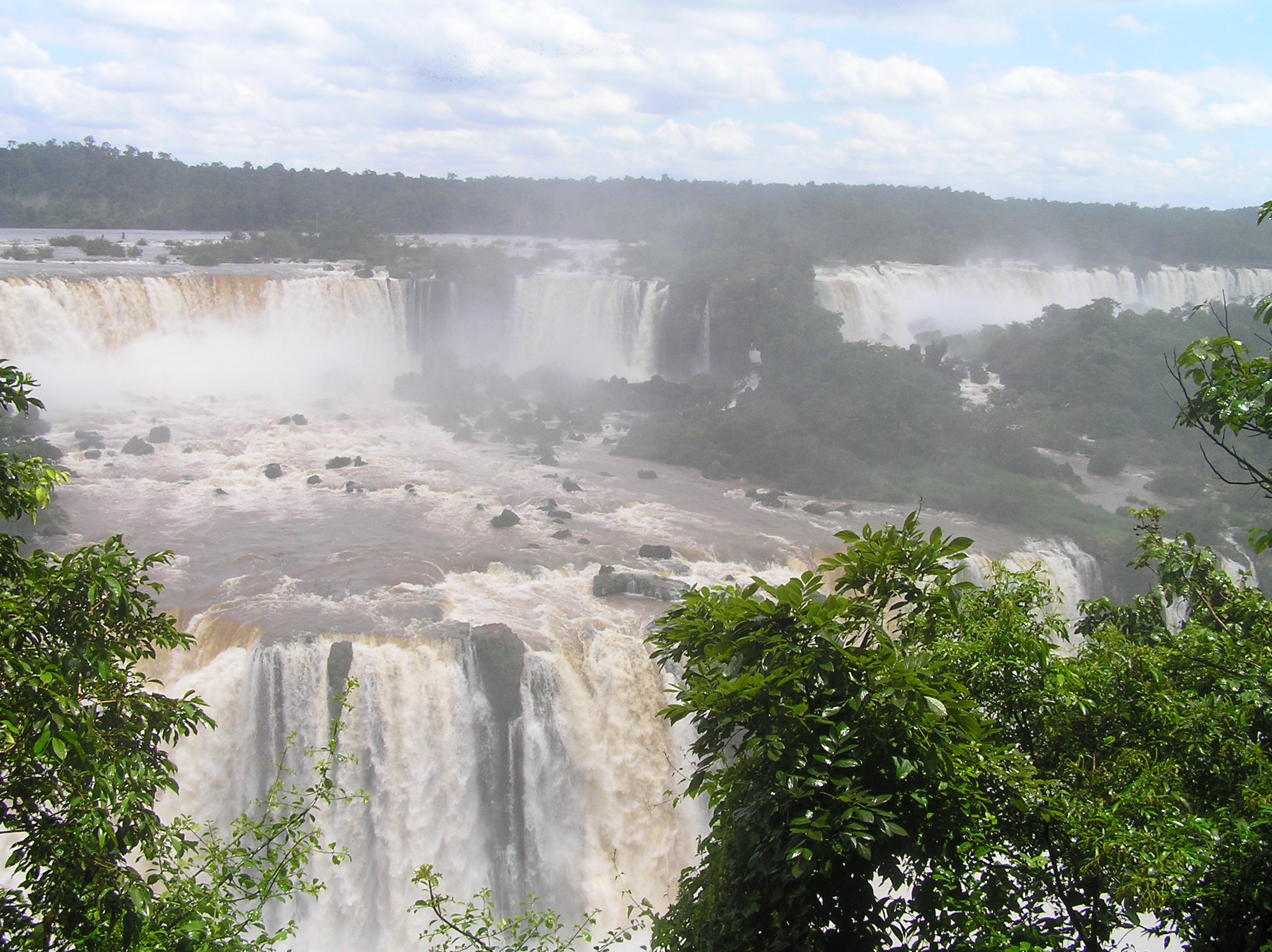
This is a picture of approximately the next 1/4 of the falls.
The part of the falls half way to 3/4 of the way from the right side looking from Brazil.
The same area as the previous photo but a different view
The left hand side of the falls from the Brazil side.
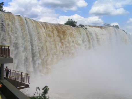
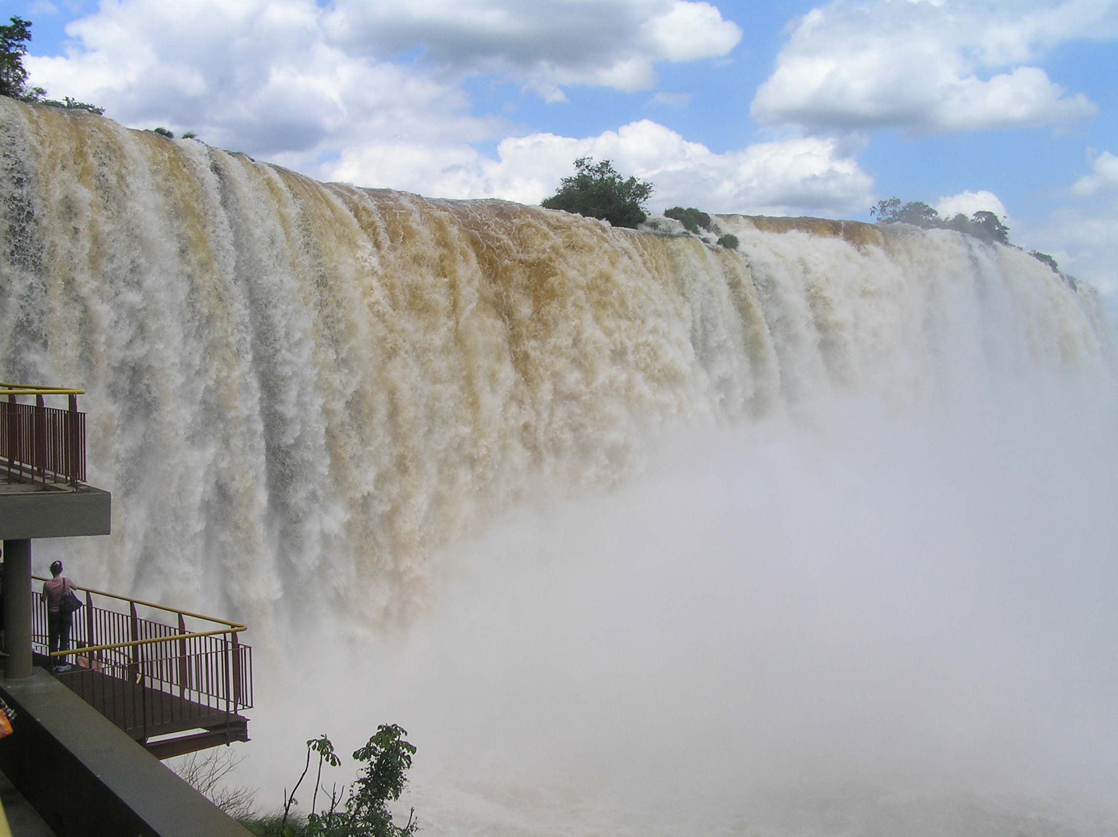
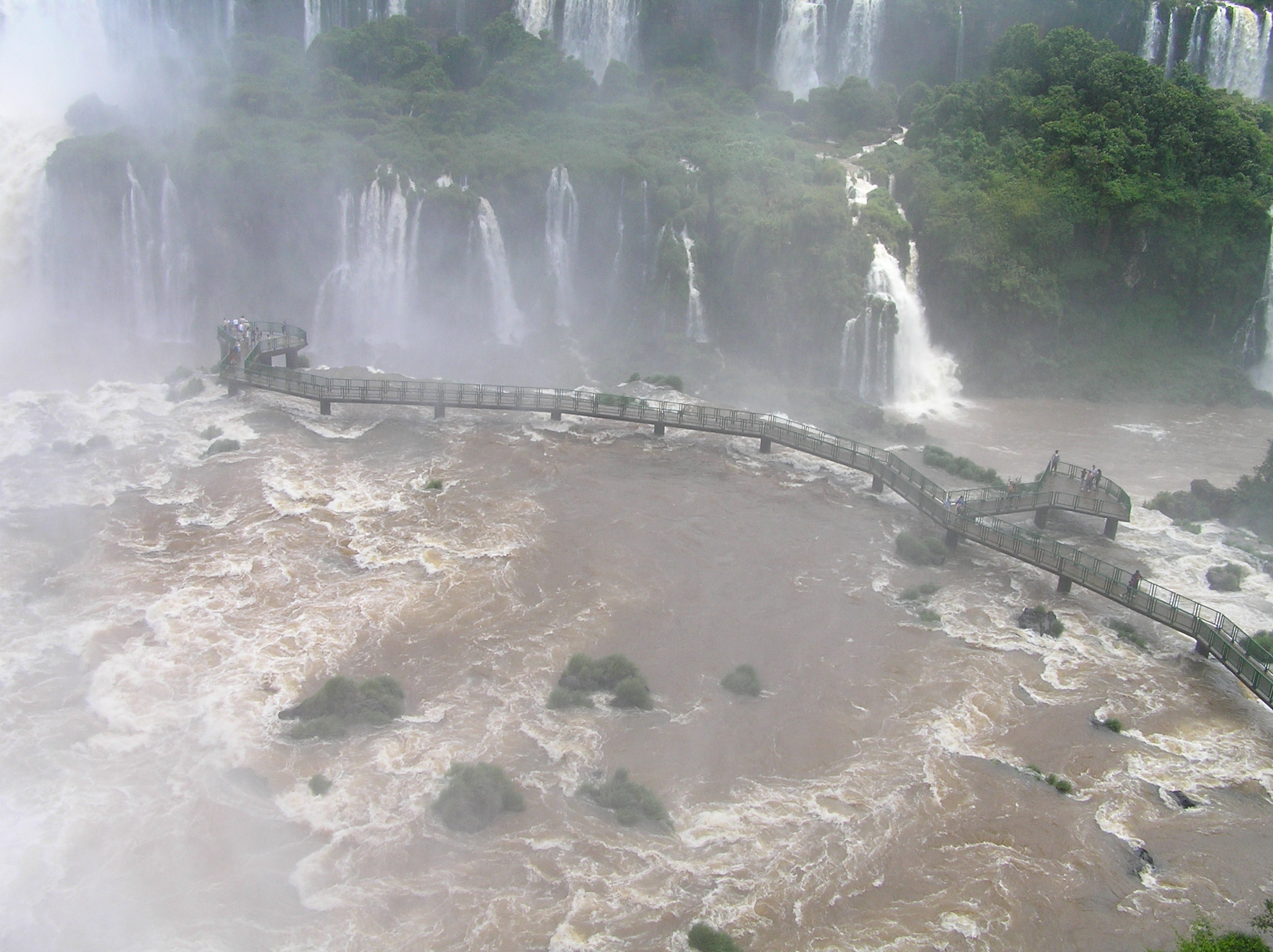
The walk way to view the Garganta Del Diablo from the Brazil side. Here there are 14
falls that fall 90 meters in a horse shoe shaped canyon. The roar, mist and quantity of
water is very impressive. A number of the falls are very large. Edith is right in the middle
of the photo and the fartherest right in the group on the left side.
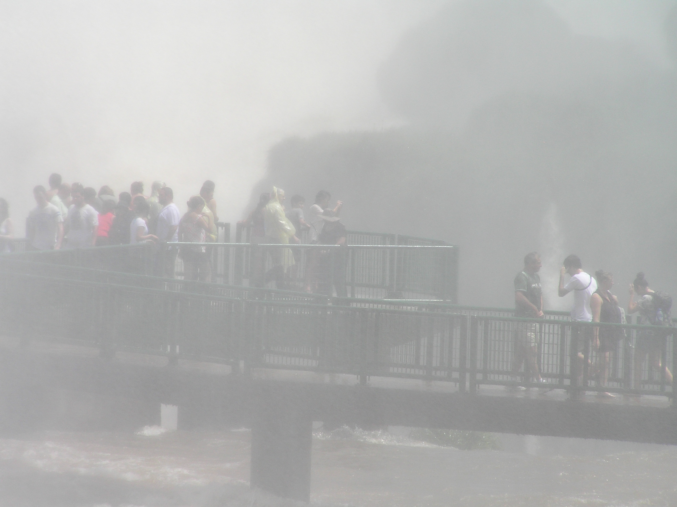
View of the last falls from the look out tower on the left hand side from the Brazil side.

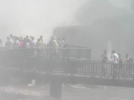
A view of the walk way for viewing the Garganta Del Diablo from the Brazil side.
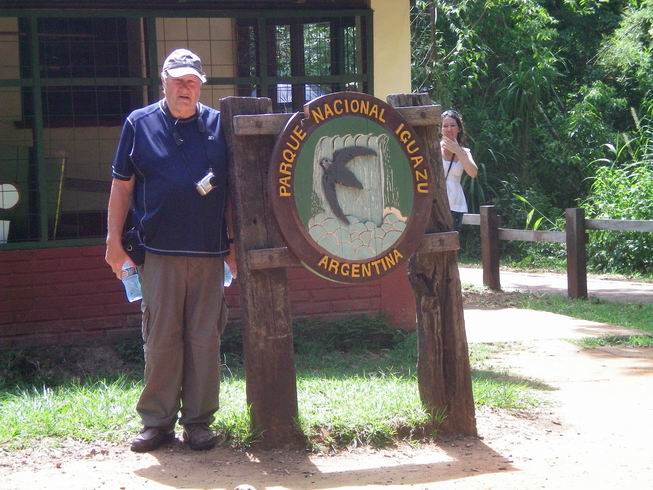
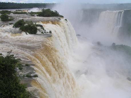
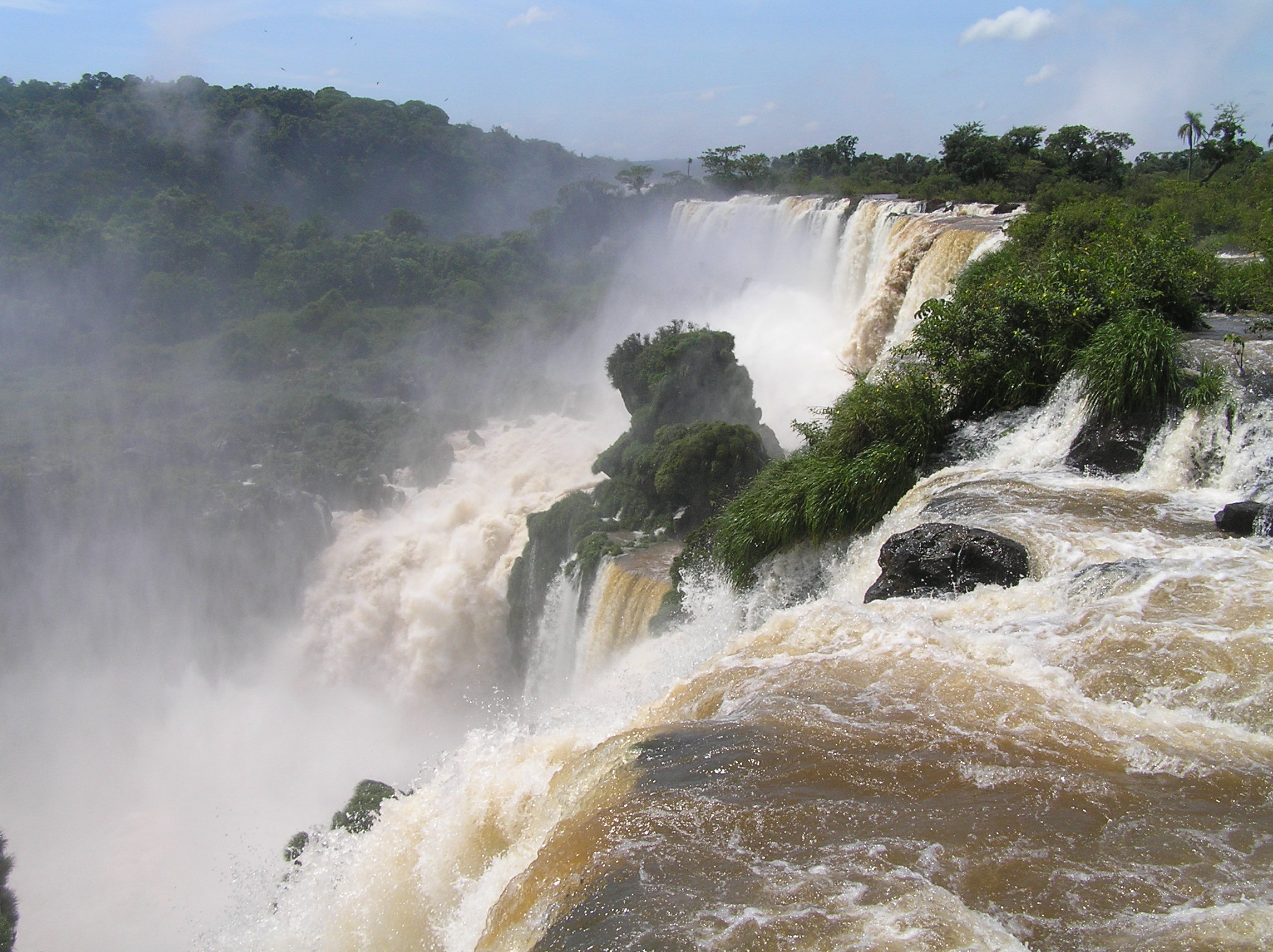
The next day we went to the Argentina side. From the Brazil side you get a panoramic view
and can see a lot of the 3km wide series of falls but you certainly can not get it in one picture
and in fact as you note it took us about 4 photos. From the Brazil side you really only get
close to the falls on the left hand side at the Garganta Del Diablo. The question comes up
about the Brazil side as for many it costs $150 for a VISA and the hassle of getting one. It used
to be people would go over without a VISA. This appears to be very hard to do now as they
have manned booths and it appeared it would be hard to get by them between Argentina and Brazil.
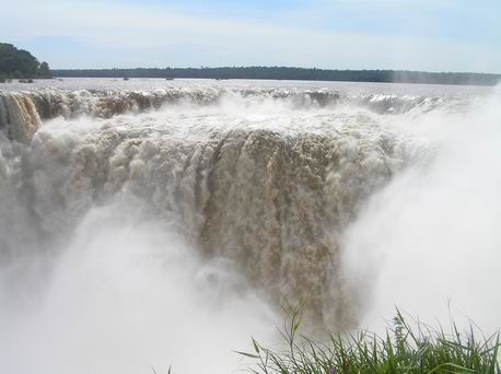
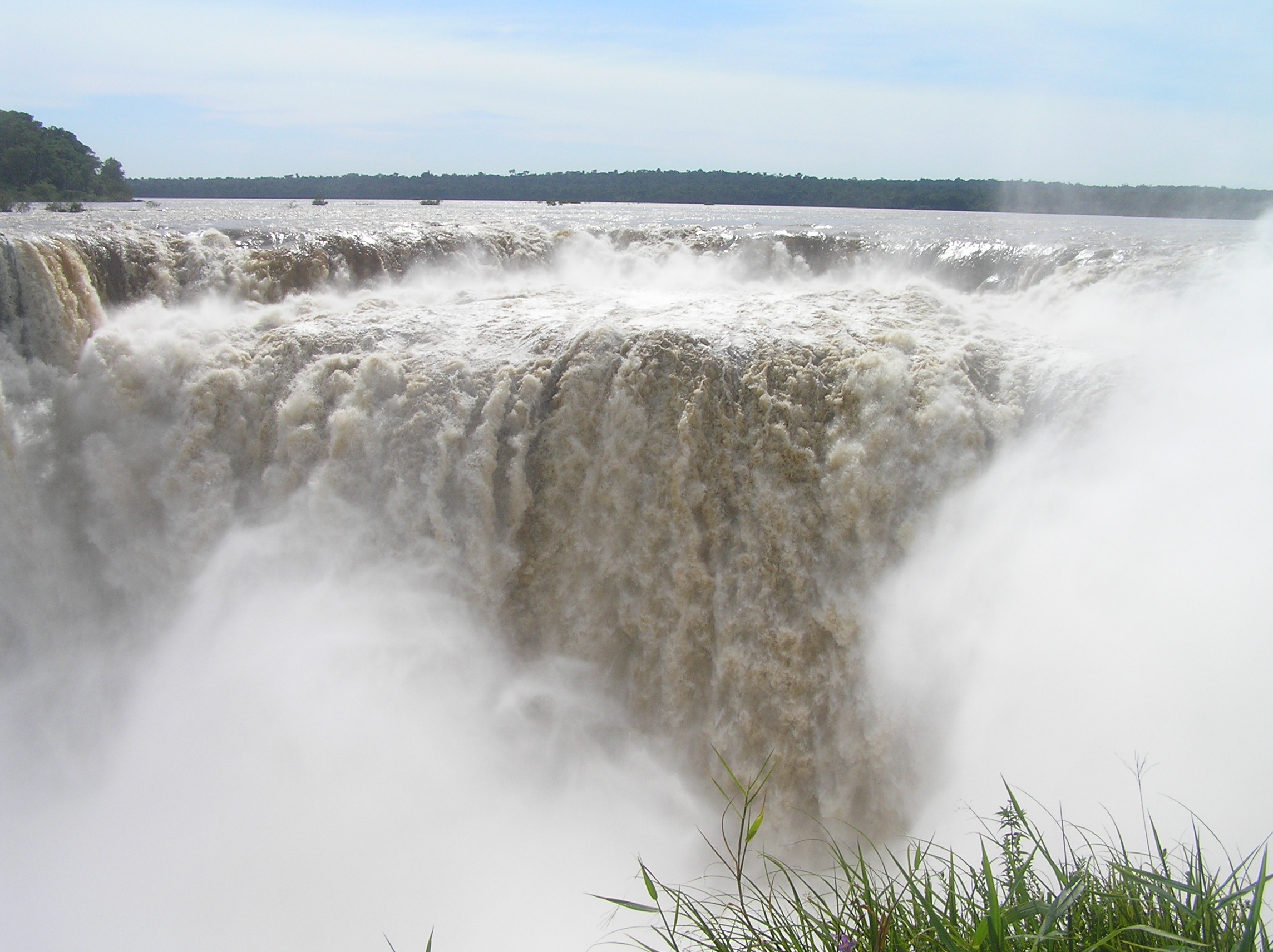
There is a long walkway out to the Garganta Del Diablo on the Argentina side. This is actually
a different part of the Garganta than you see from Brazil. If it were not for the mist you could
see it from the walk way out into the river from the Brazil side at a distance but because of
the mist you can not see it.
Other falls that are part of the Garganta Del Diablo on the Argentina side. The direction
and intensity of the wind makes of big difference on what you can see and how wet you get.
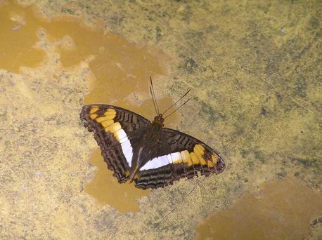
There were many butterflies of different colors at the falls and they would land on you.
THe Coati were on both sides and unfortunately people feed them so they get very tame but they
can become aggresive for human food.
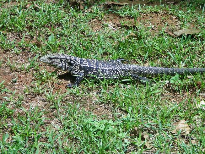
A very unusual colored Iguana.
There are a number of reptiles at the falls as well as birds and monkeys. There is a lot
of park area especially on the Argentina side and an island you can normally visit but we
could not because of the high water level.
Much to our surprise you can get some Panaramic views from the Argentina side.
What you lack in panaramic veiws for the Argentina you gain in many very close up
views from the bottom and the top of the falls. The upper trail takes you right out in the
river and right at the top of several falls.

A view of the cama bus we rode from the falls to Concordia Argentina. It was the only cama
bus we had rode on to this point. It really does not cost a lot more but there are not that
many of them and there are not that many seats. It is like the first class seats on an airplane.
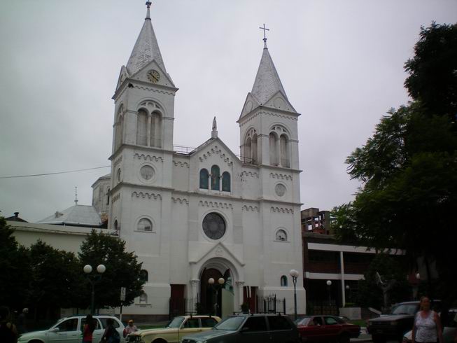
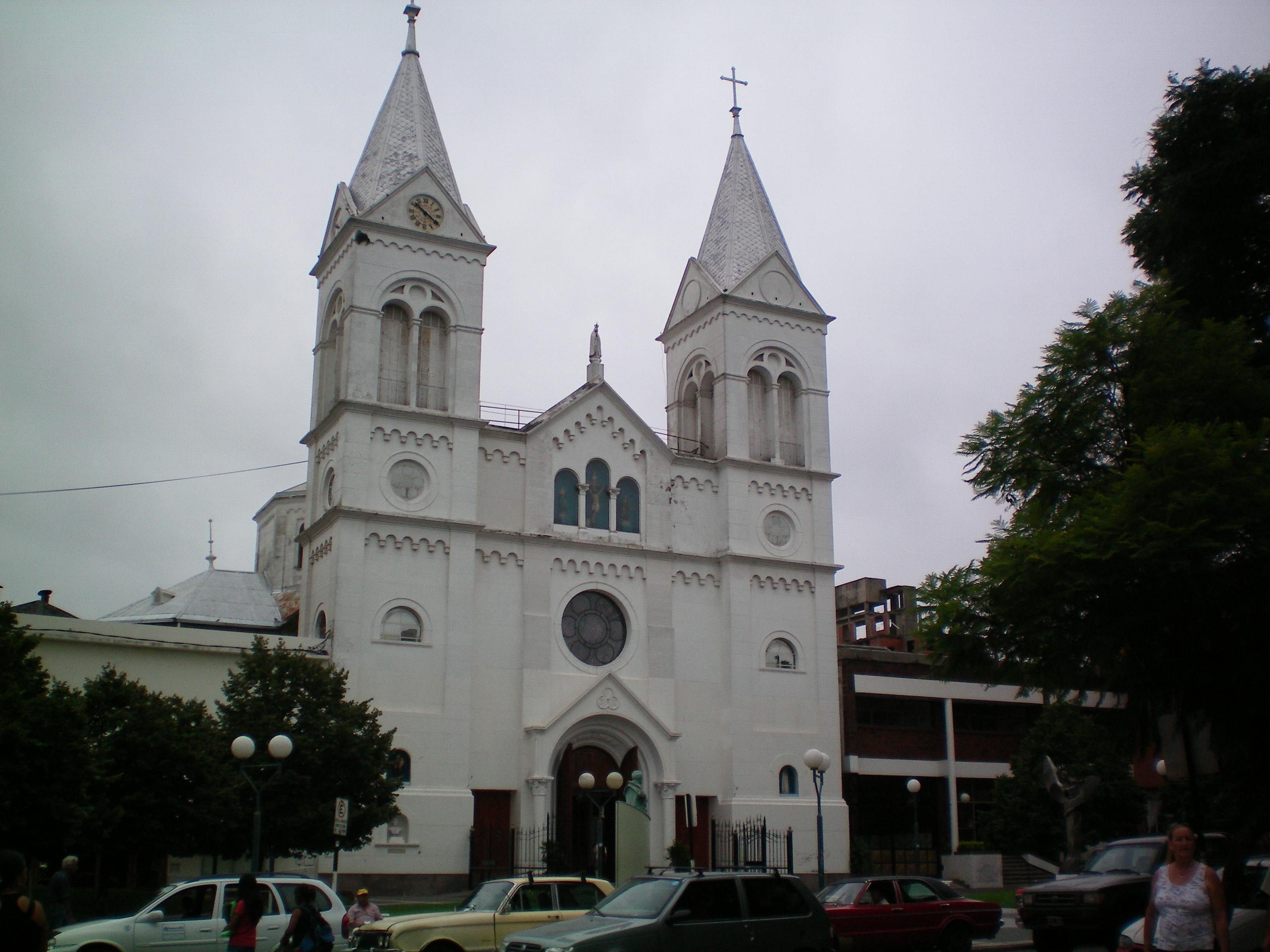
Church on the plaza at Concordia, Argentina which is just across the Rio Urugauy from Uruguay.
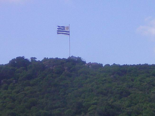
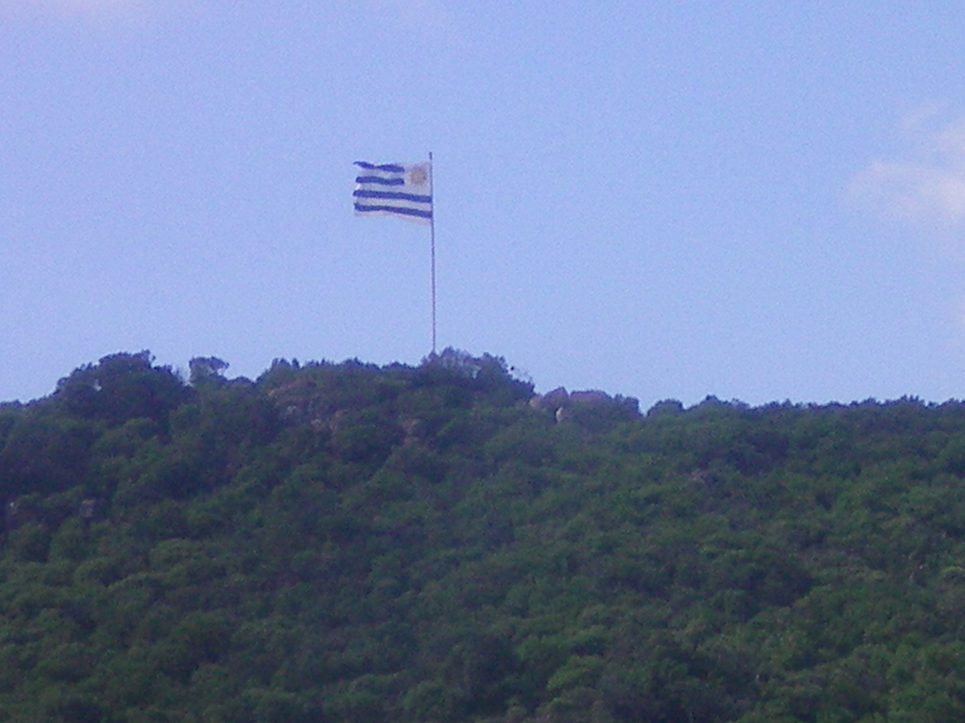
Uruguay Flag when entering Uruguay.
Park on the Rio Uruguay in Salta, Uruguay.

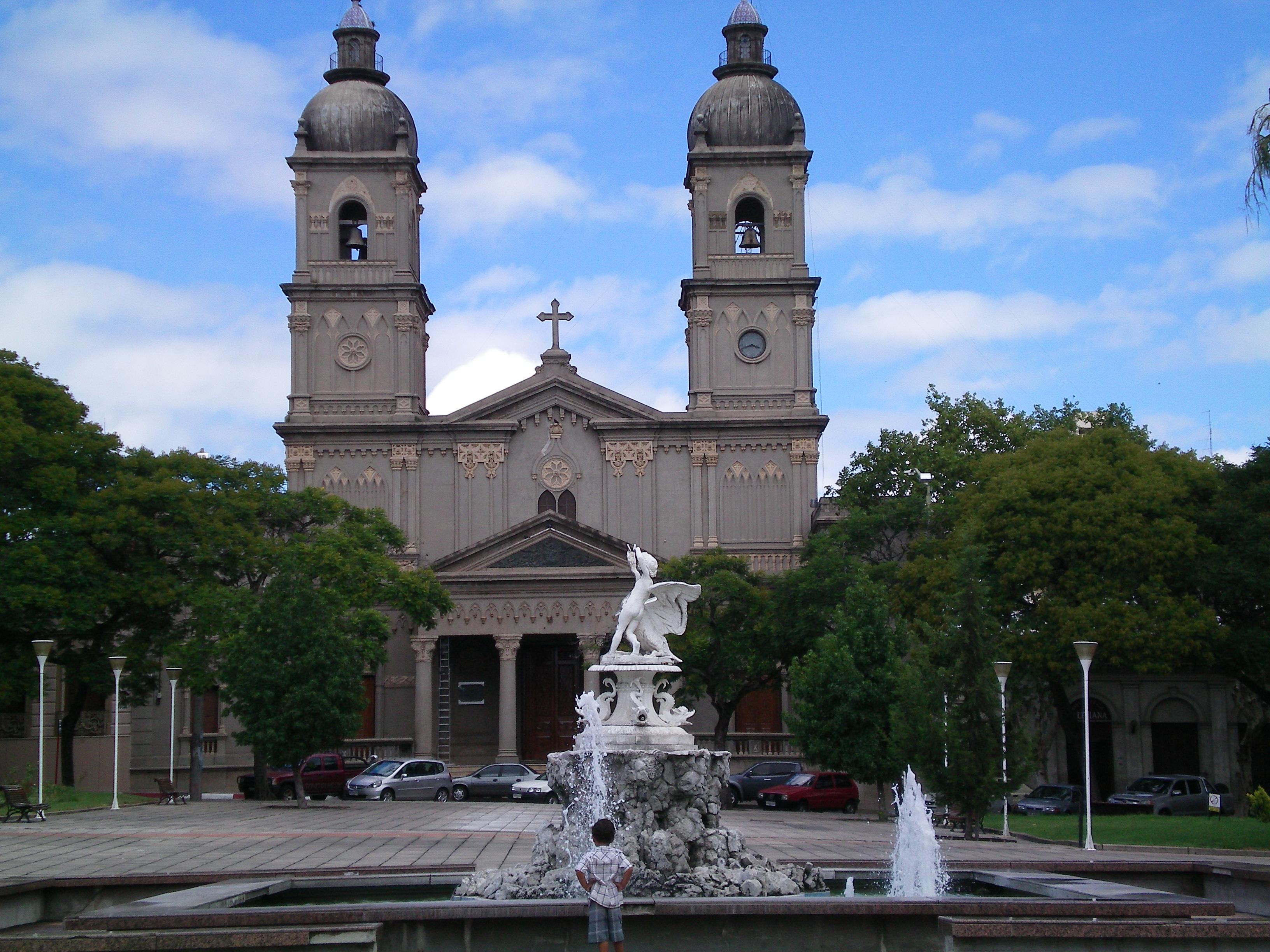
Church on the plaza in Salta Uruguay just across the river from Concordia, Argentina.
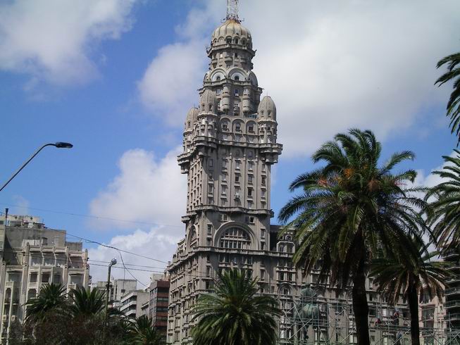
Building in Montevideo, Uruguay.
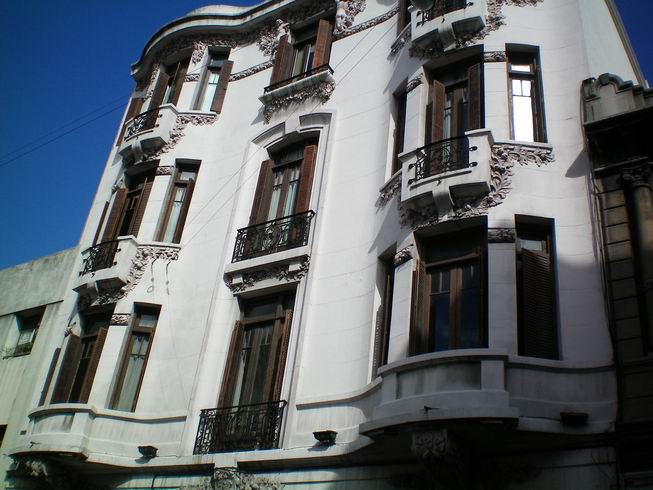
Special old building in Montevideo, Uruguay.
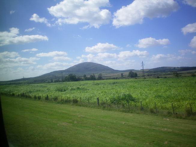
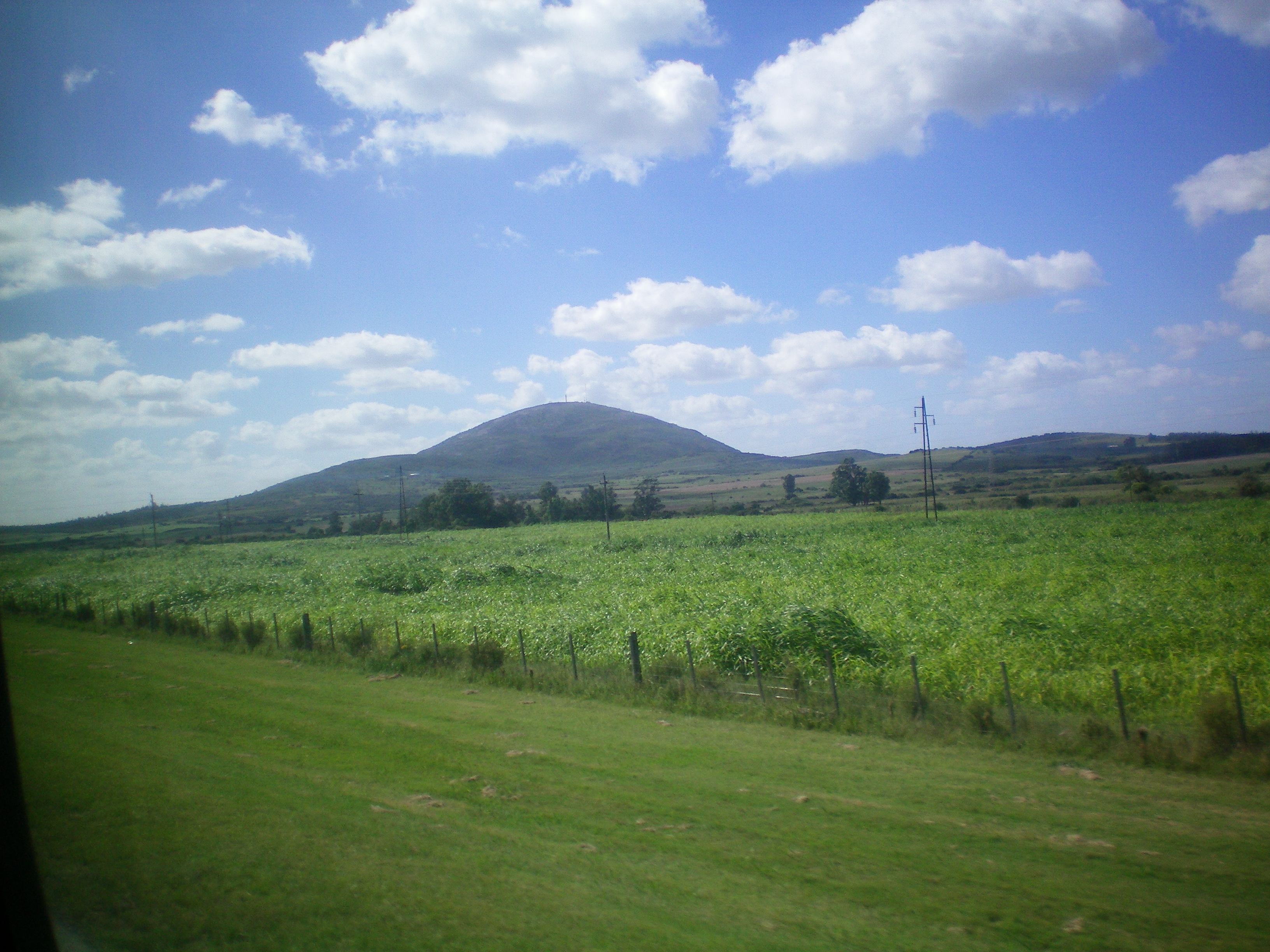
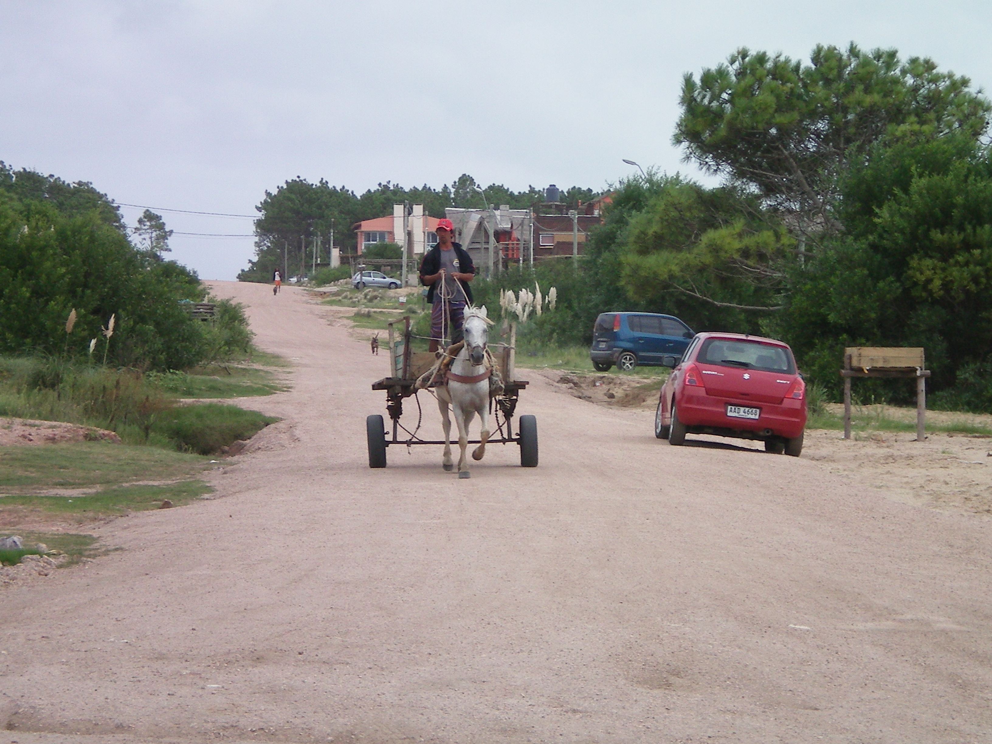
Country side in Uruguay.
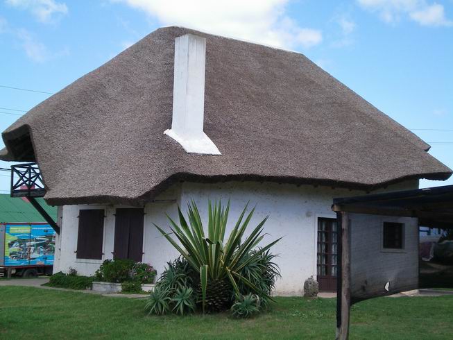
House at Punta Del Diablo on the Atlantic coast of Uruguay to the north near to Brazil.
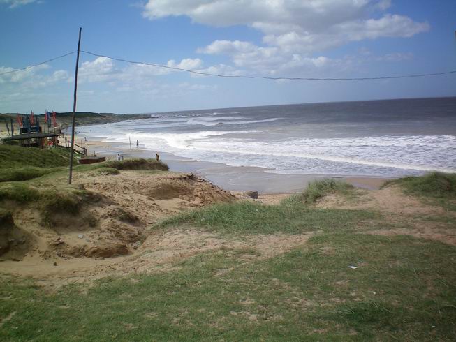
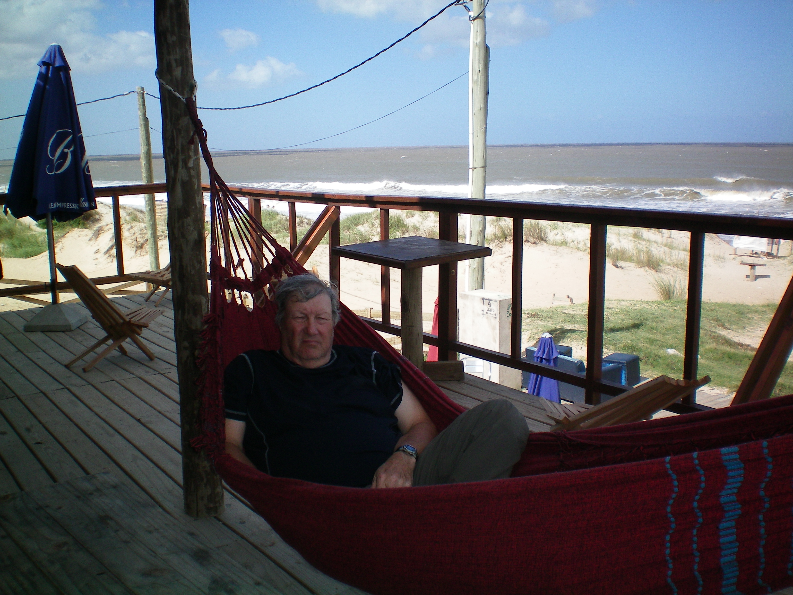
Atlantic ocean at Punta Del Diablo, Uruguay a very popular tourist area.
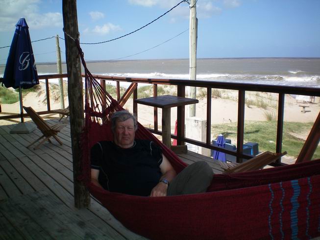
Resting in the hammock by the surf.

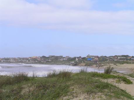
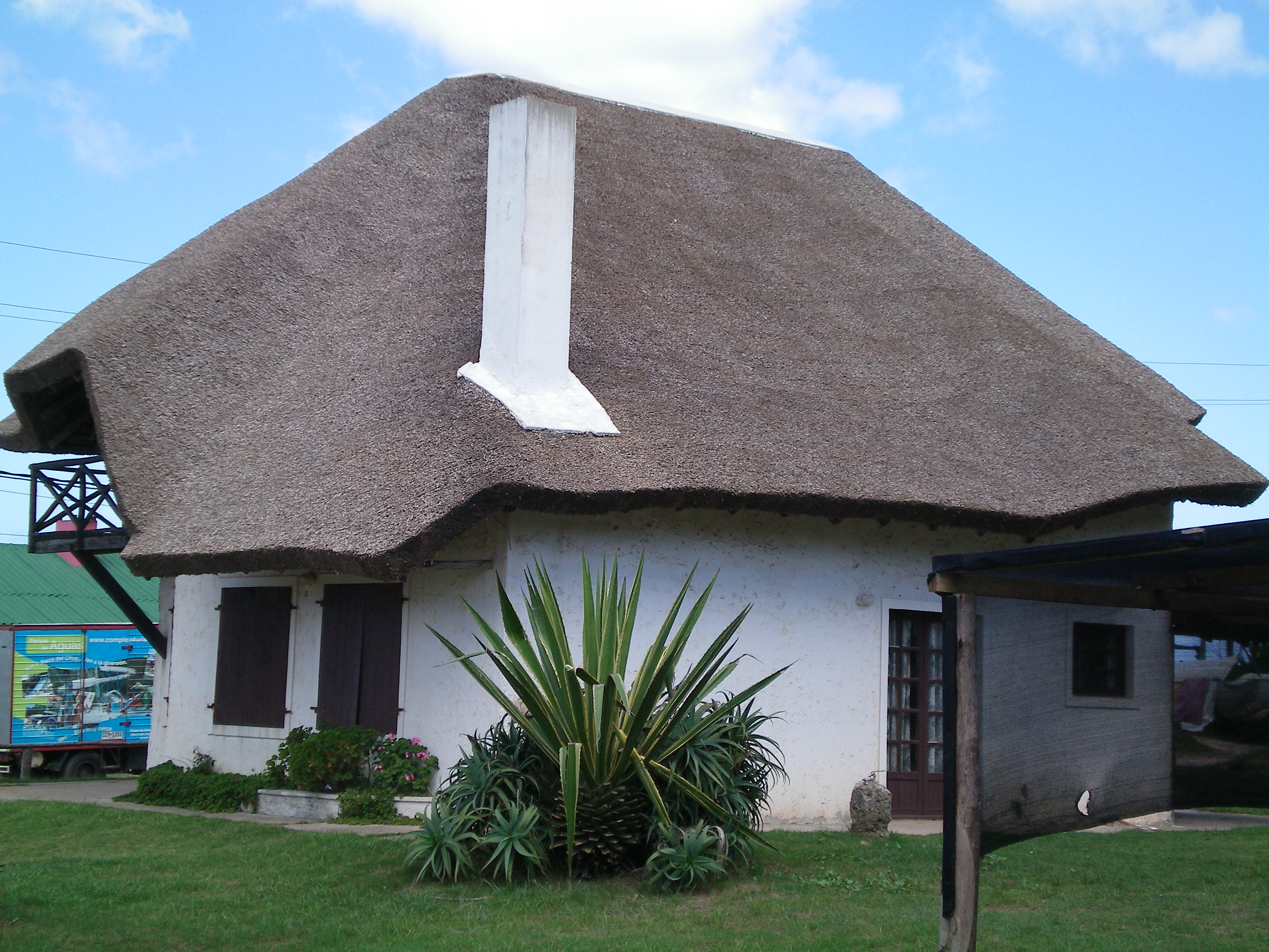
The old and the new in Punta Del Diablo, Uruguay.
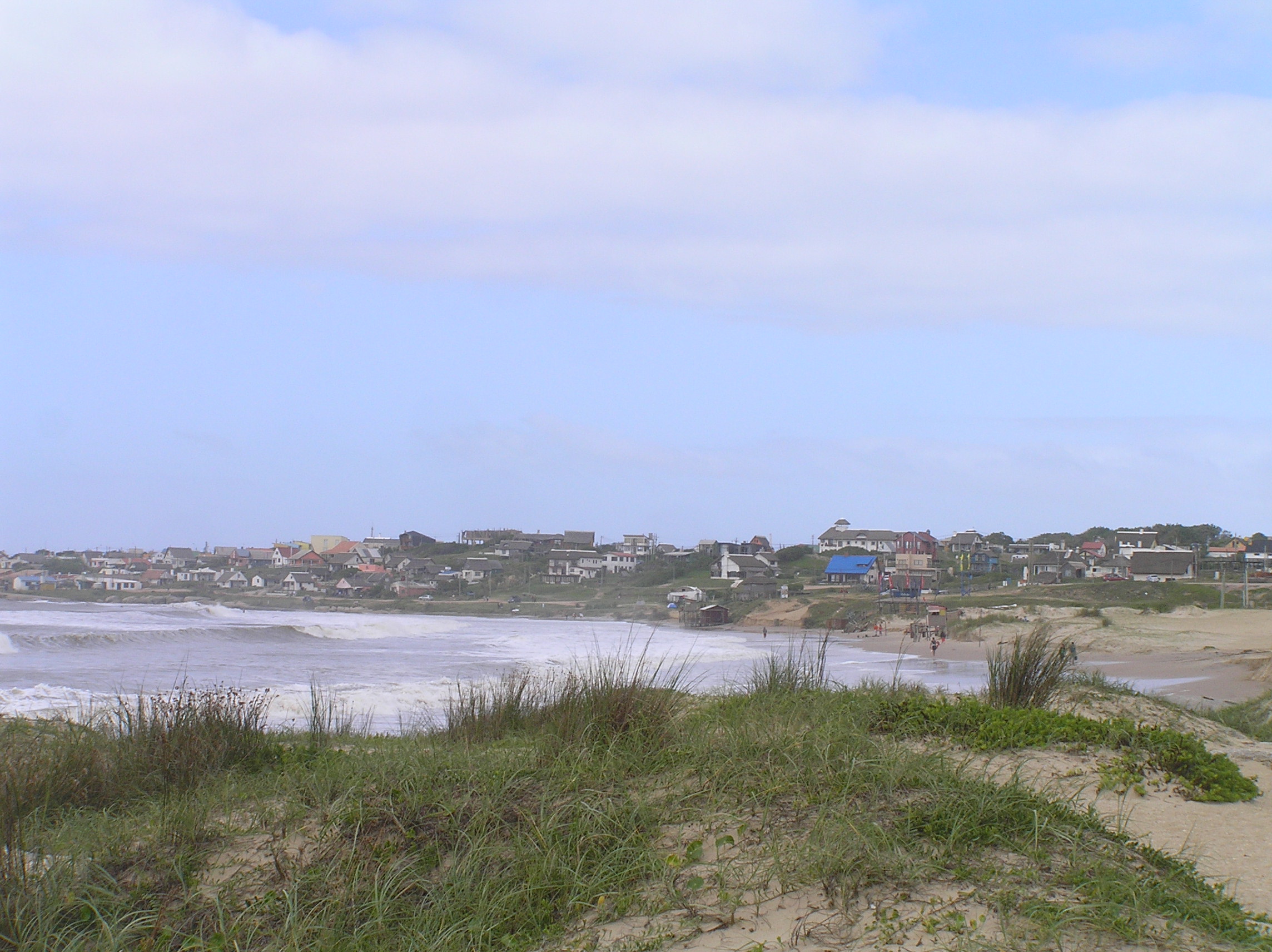
The coast and part of the town of Punta Del Diablo, Uruguay.
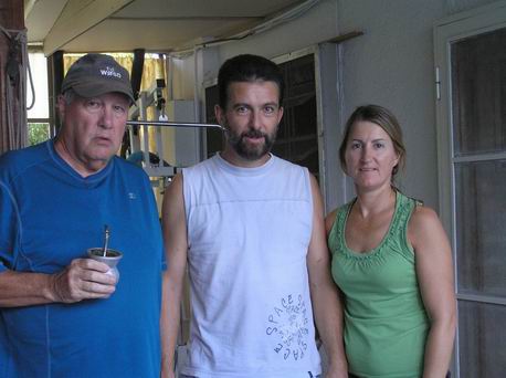
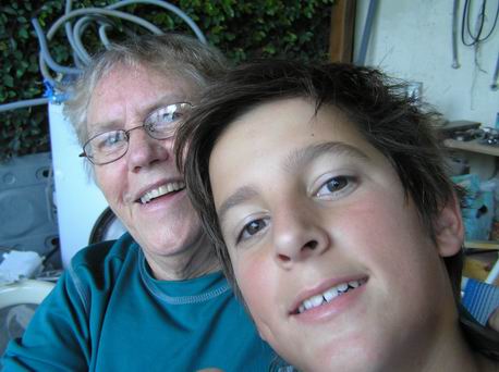
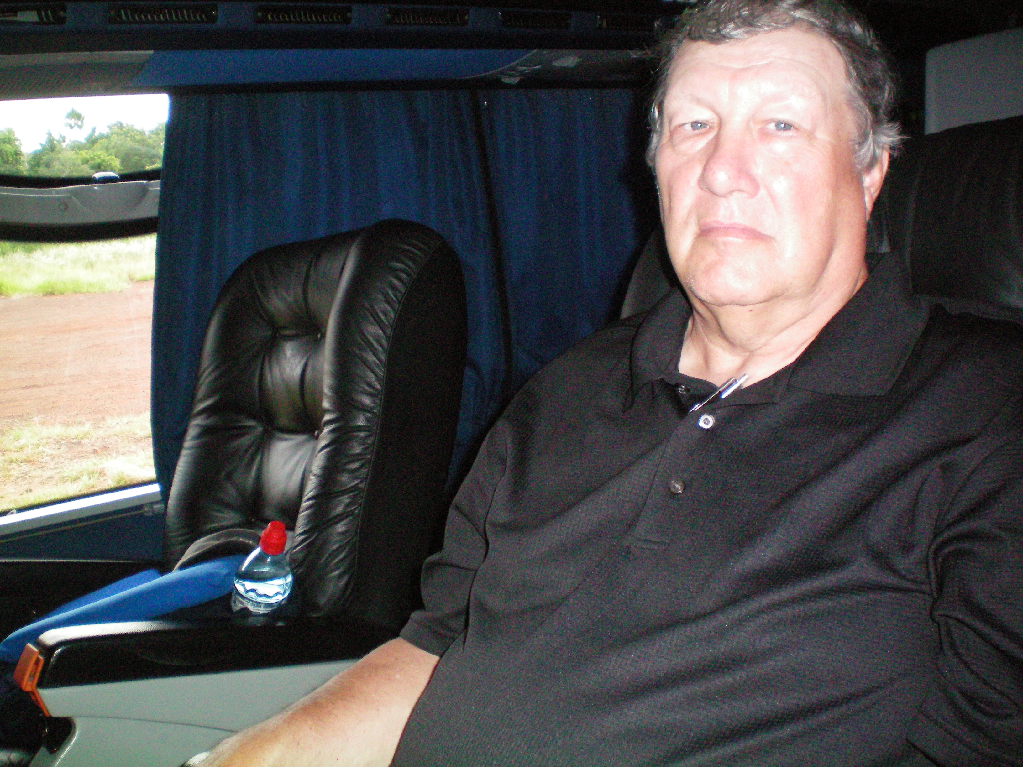
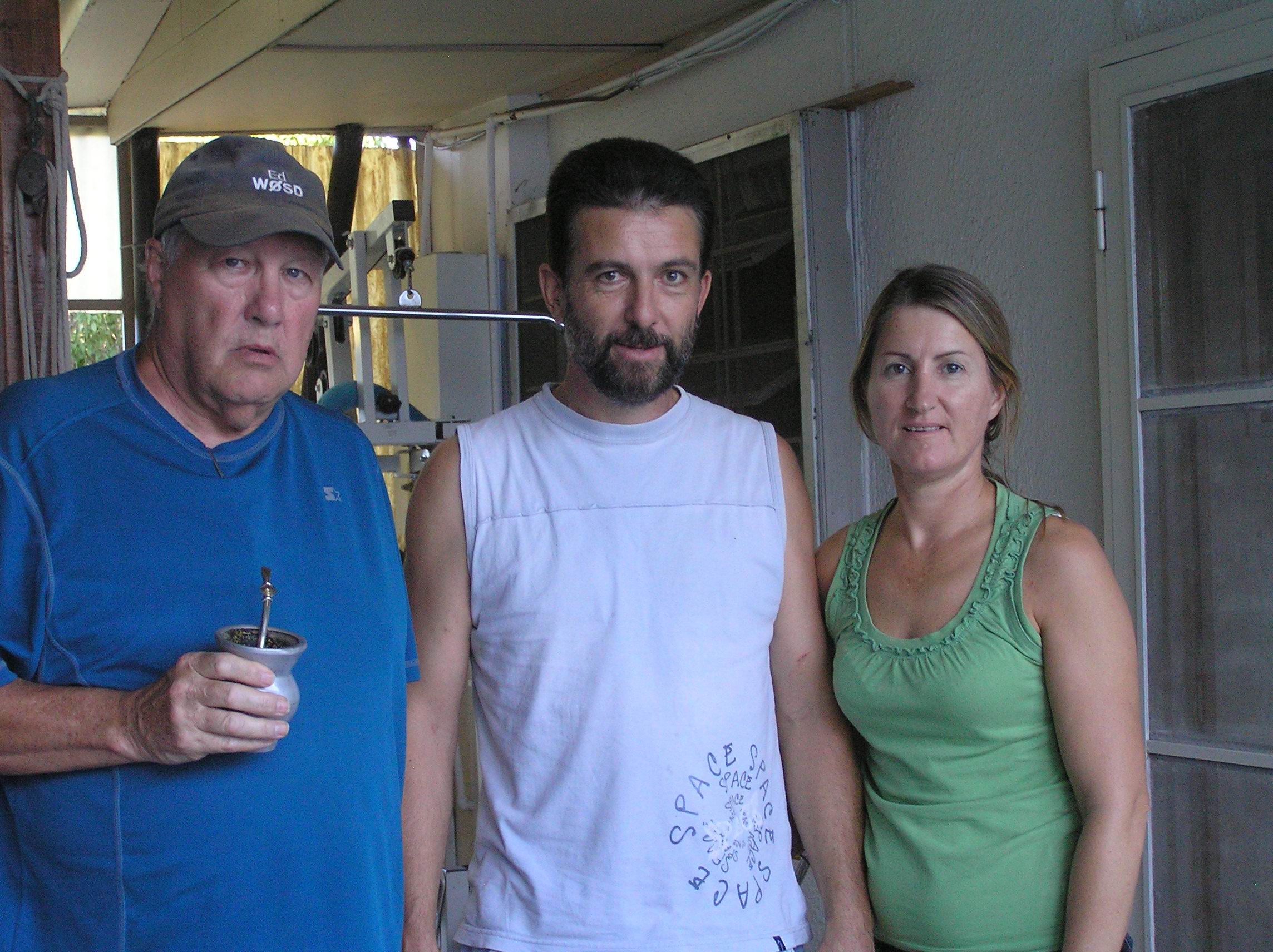
My Amateur radio friend Mario LU1JCJ and his wife Ana. Mario can speak excellent English
as well as read and write English. We met on the air and he has helped me with my Spanish
and I have helped him some with learning new English words and when to use certain English words.
We spent a few weeks here living in a near by bungalow in 2007 while my broken leg and ankle
was healing. We had dental work done then and again this year. The dental work took time
as we had to wait for a bridge and some crowns so it we spent from February 27th to
March 17th at San Martin.
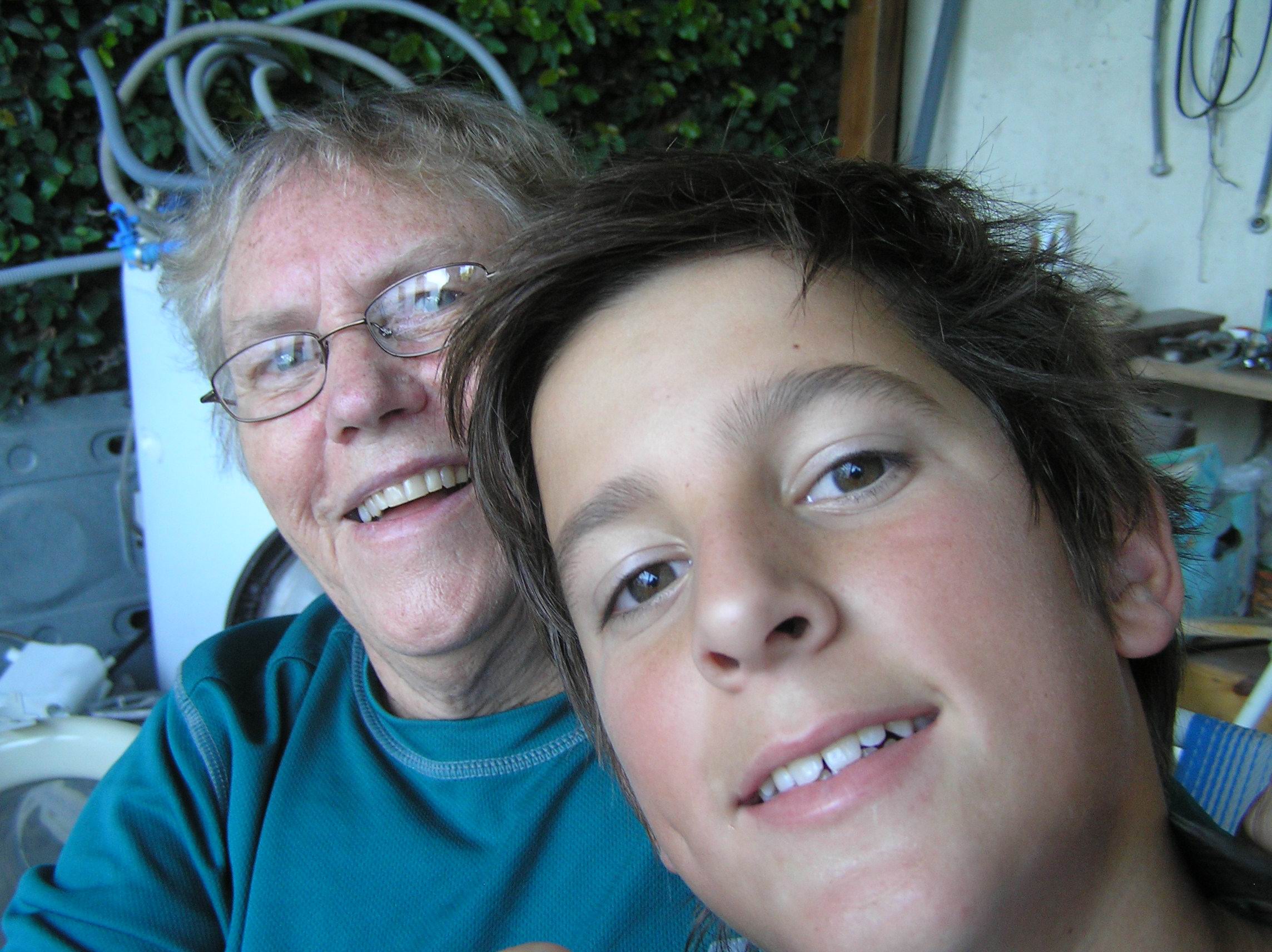
Edith and their son Alex. He knows quite a bit of English. They have a daughter Ivana
who is a 3rd year dental student but we were not able to get her picture.
Libertador San Martin is pretty much a 7th Day Adventist town with a 7th Day Adventist
college and hospital. It is surrounded by farming country and looks a lot like SD but it never
snows or really freezes so the growing season is very long. It is not unusual to see a ripe
crop and the same at avery early stage. This is the 4000 meter hiking trail along the highway
going south of town. From our bungalow and back using the trail was about 4 miles.
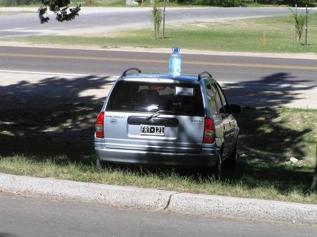
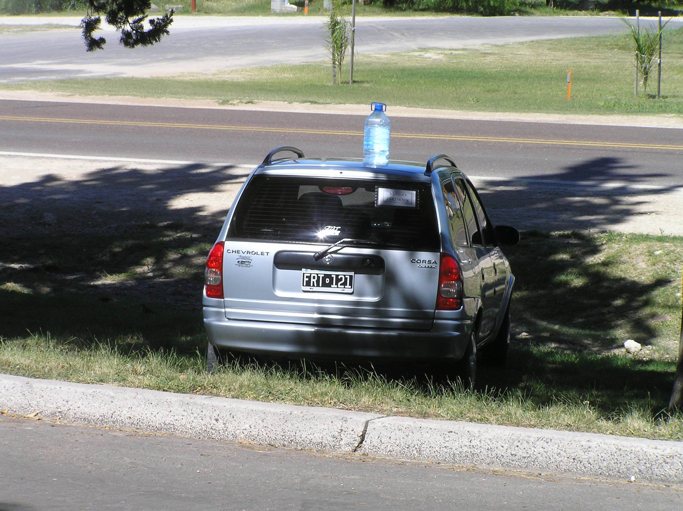
A custom we seen in Argentina. If you have a vehicle for sale you put a jug on top of
it to help people see it is for sale. It is very effective.
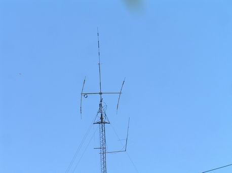
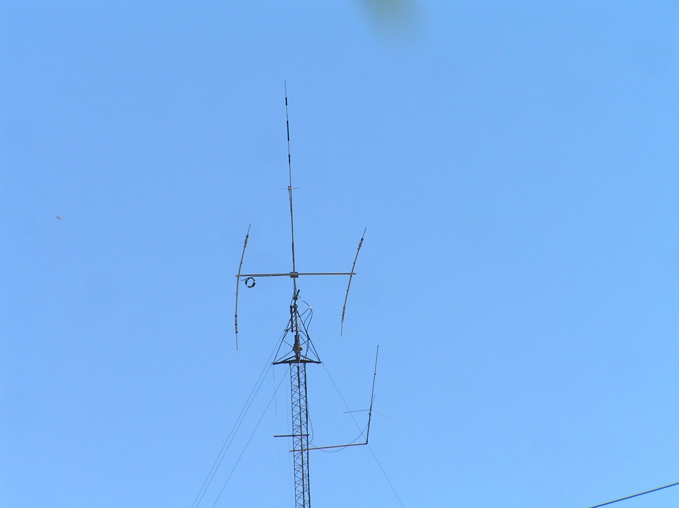
Mario's antennas, LU1JCJ. I was able to talk to SD every Sunday afternoon.

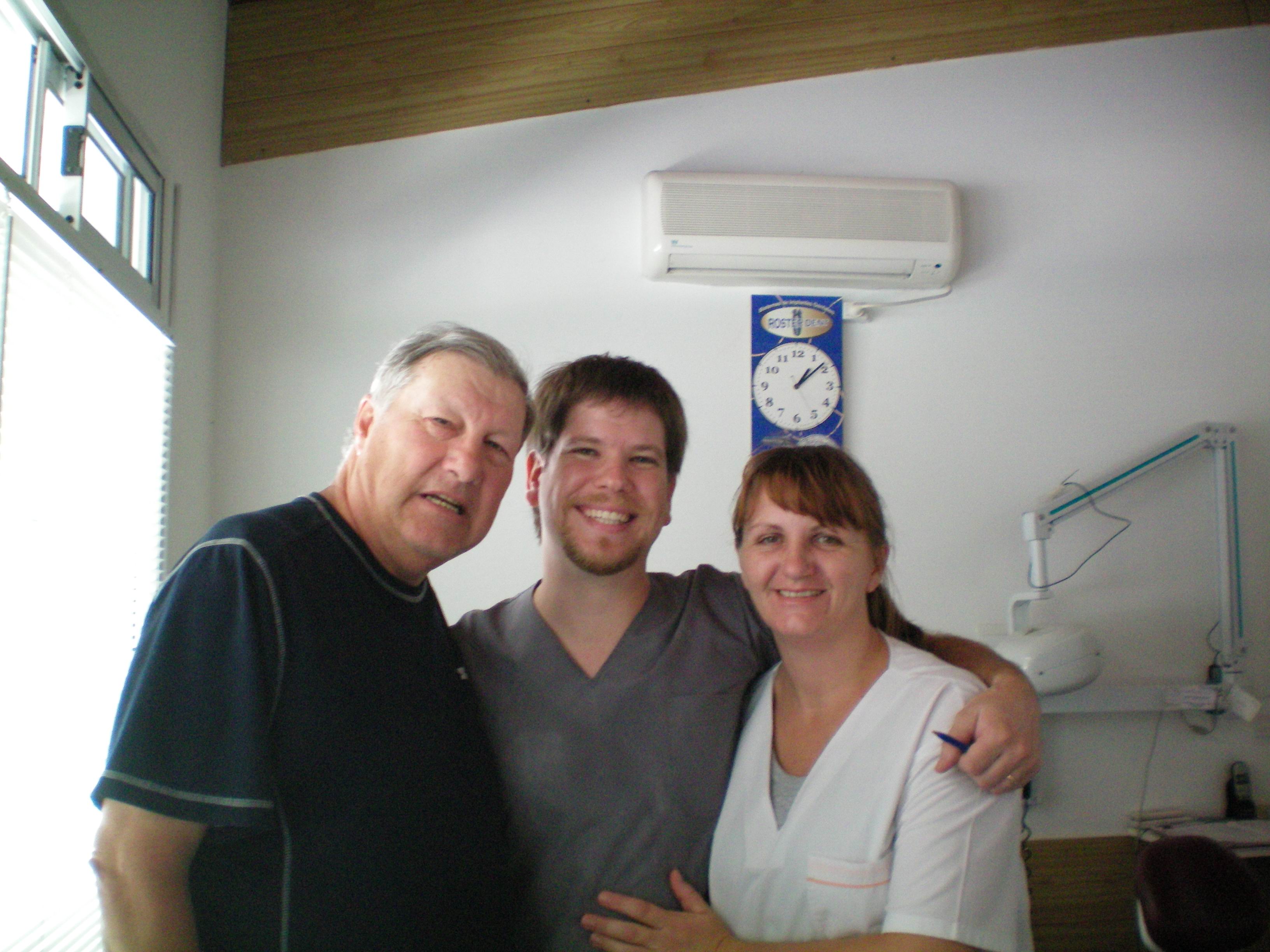
This is Gabrial our dentist and his assistant. Both Edith and I had a lot of dental work done. The
saving paid for the airplane tickets down and back.
We traveled by bus from San Martin to Parana and then got a bus to Cordoba the second
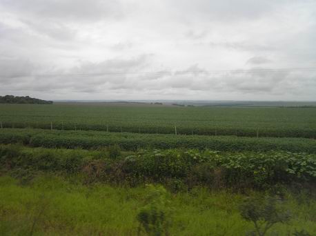
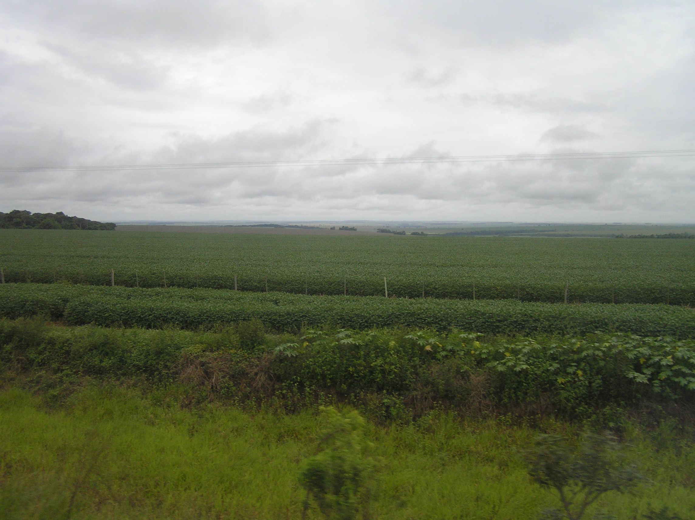
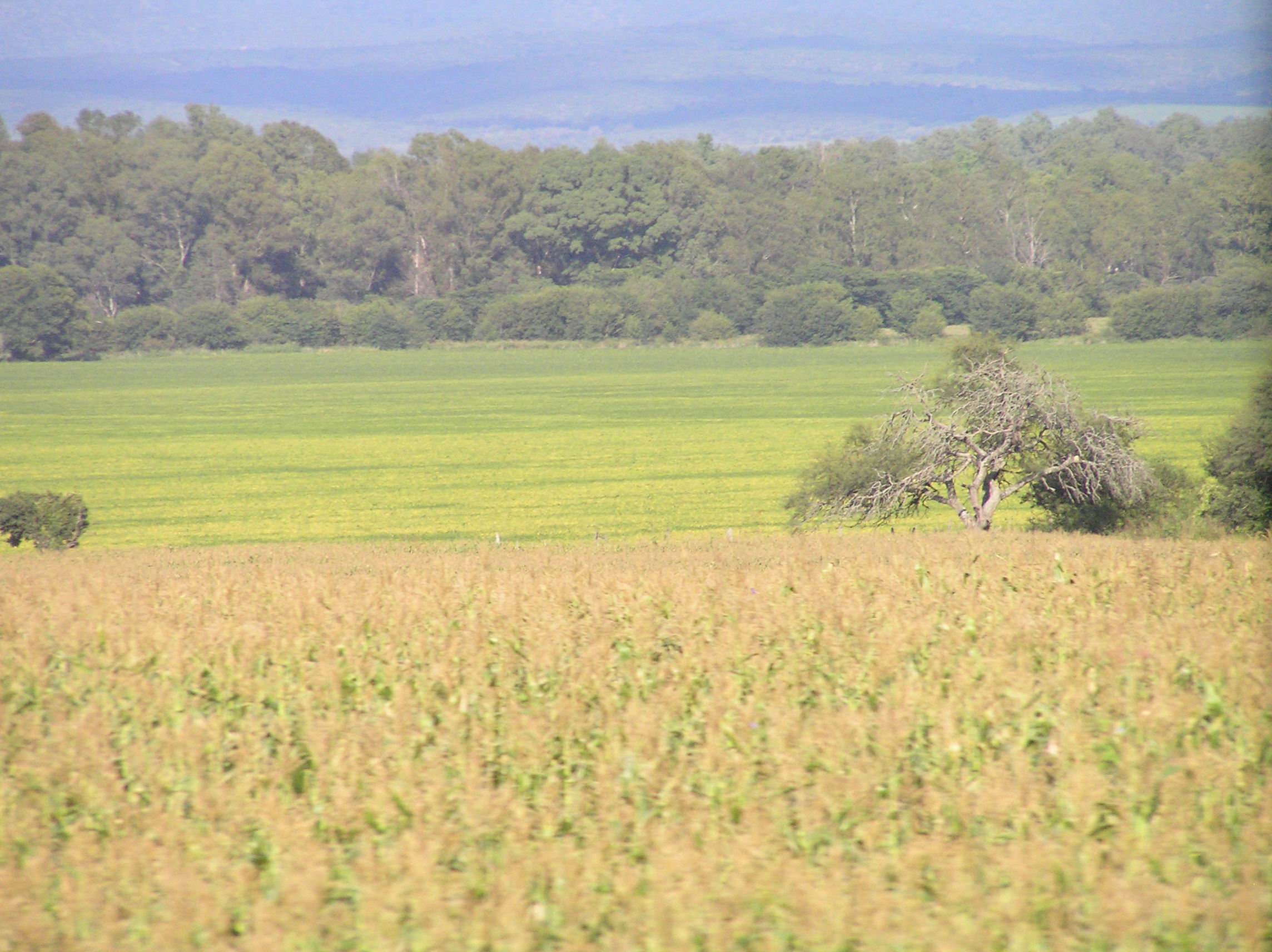
largest city in Argentina. It is farming country all the way with soybeans being the main crop.
We did see quite a bit of dairy and beef and some confinment chicken raising. From Cordoba
we went to Mendoza. There is the Cordoba hills with run for more than a 100 miles SW of
there and have many trees, lakes and streams and is a popular resort area. The hills were
on our right side going south and farming country on the right. Farming country continued
to San Luis where the Cordoba hills end. From here to Mendoza it is desert as the precipitation'
is dropped in the Andes and on the east side it is very dry. When we got within about 60
miles of Mendoza there was irrigation from the Andes. It was grapes, fruit and vegetables. This
picture shows the Cordoba Hills in the back ground.
The beginning of the Andes after Mendoza. Mendoza is a nice town with lots of trees and
has a lot of culture and plaza's and is a good place to spend a couple of days.
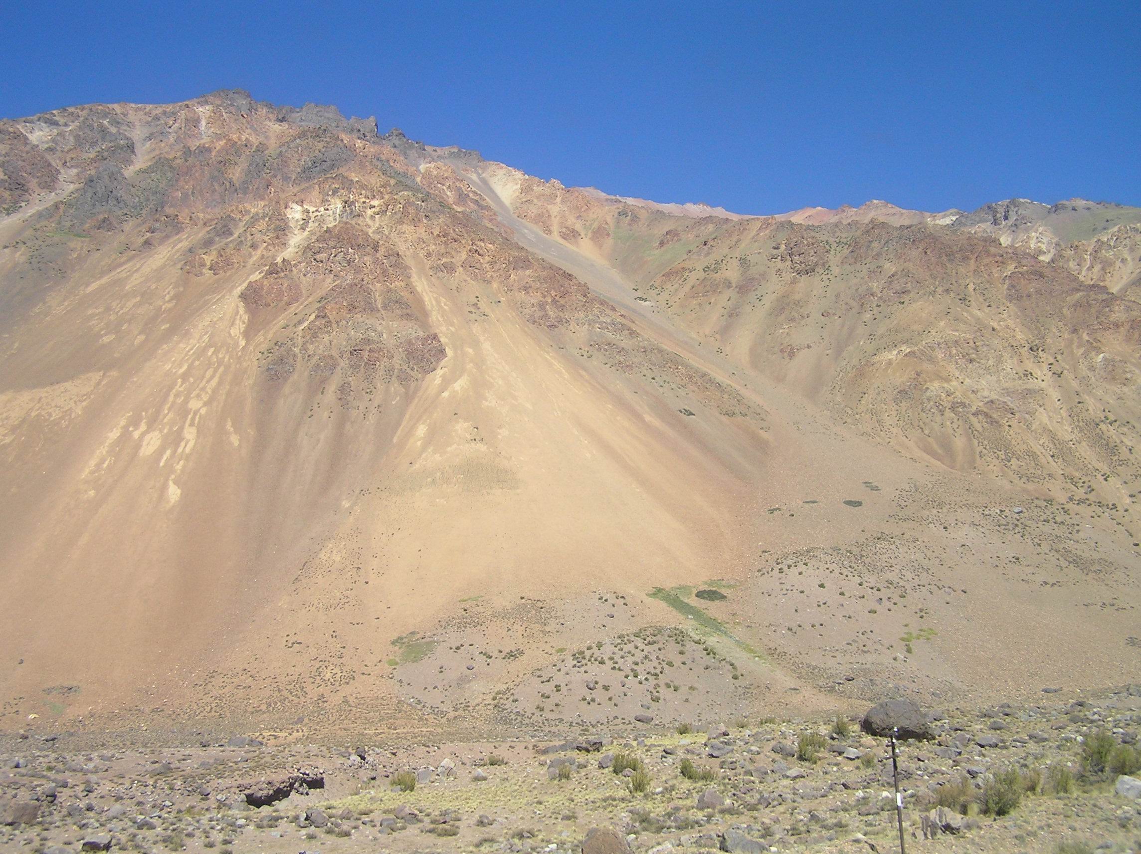
Getting higher in the Andes. There are 22 tunnels between Mendoza and Santiago.
This is a beautiful drive and it really has a lot of snow in the winter which is centered
on July here. Since this is the beginning of fall a lot of the snow is gone.
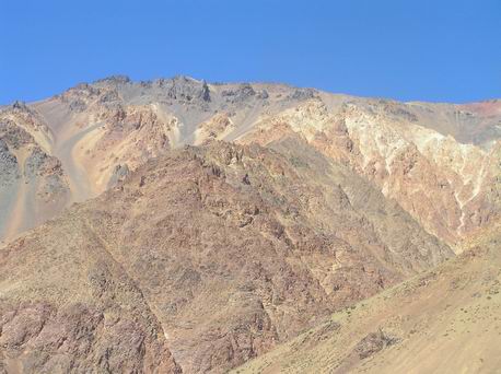
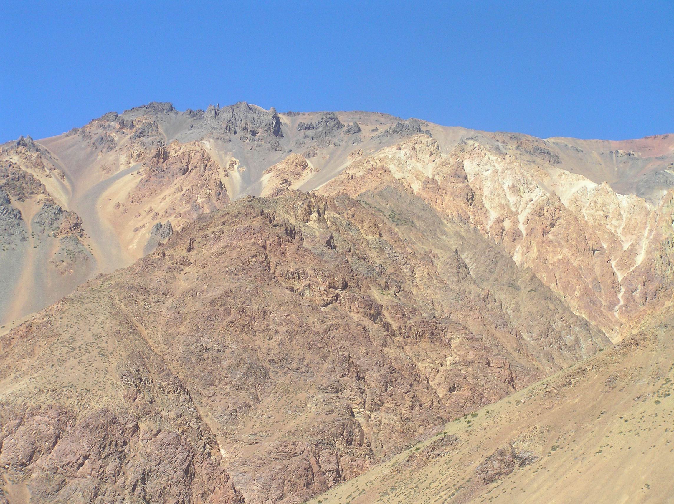
Getting closer to the top where you leave Argentina and enter Chile.
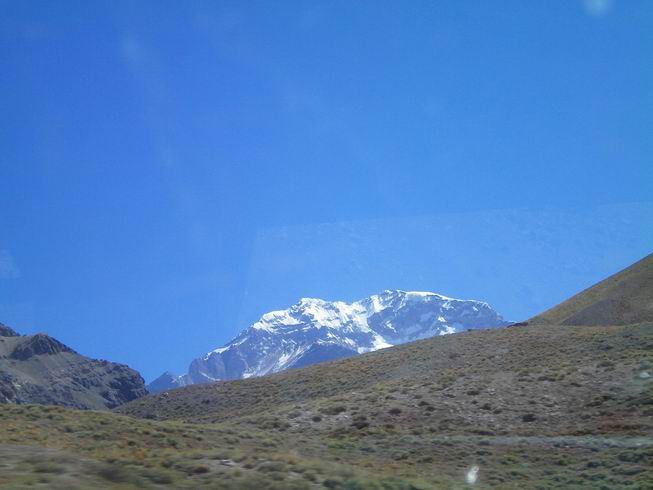
We believe this is Mt. Ataconcagua the highest mountain in the western hemisphere
in Argentina and is 22,834 feet. You just get a glimpse of it for about 15 seconds from
the bus!
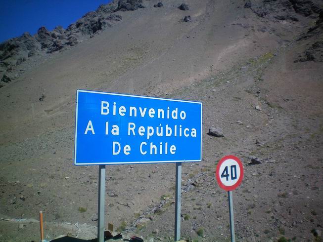
Entering Chile, they have really improved the road and border crossing since 2007 with
both countries being in the same building for aduana.
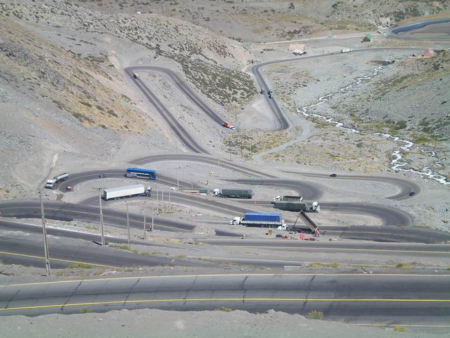
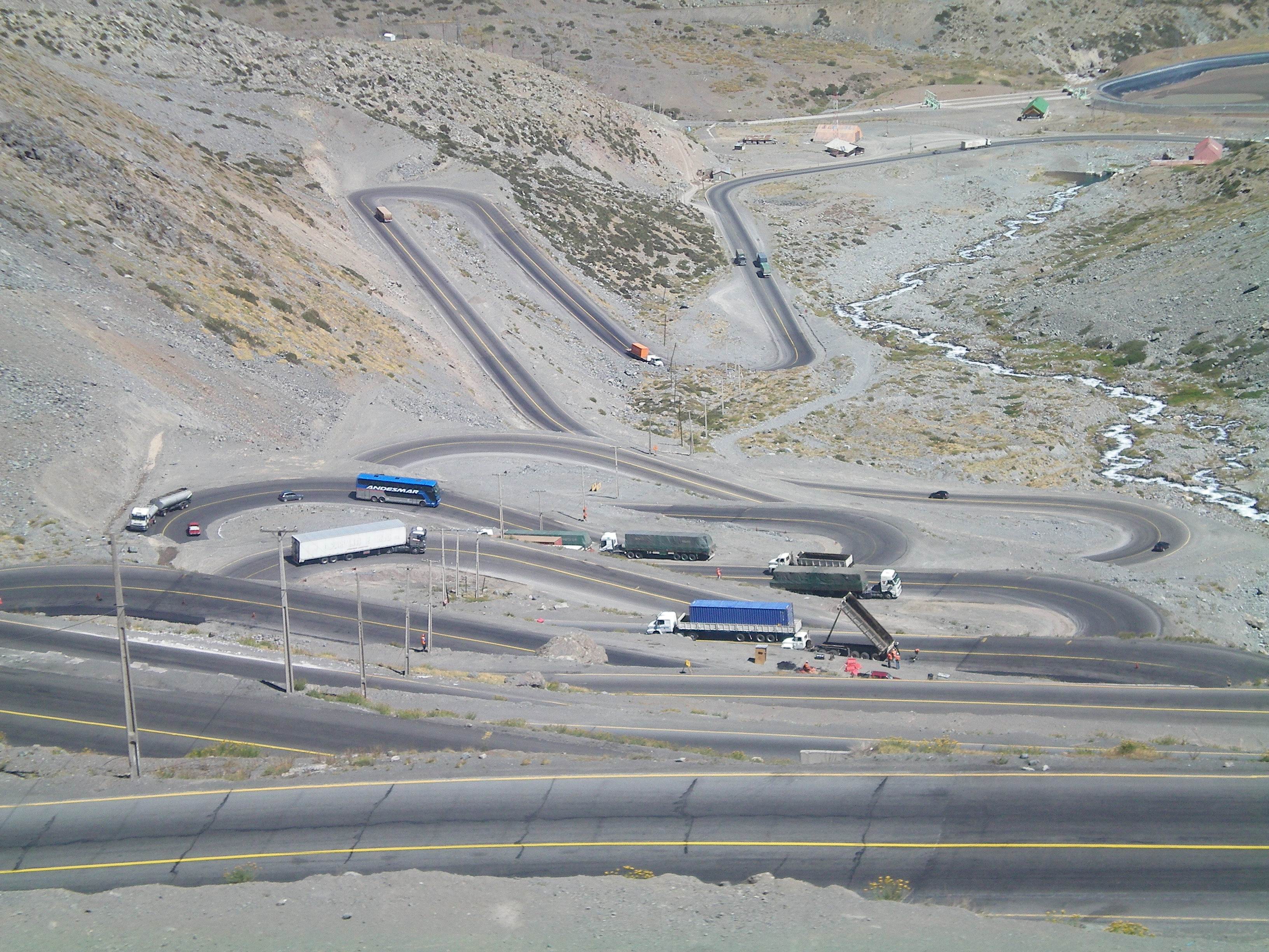
An awesome photo of the switch backs dropping rapidly in elevation in Chile. Photo's
do a poor job of showing the depth so in real life it is even more impressive. We got
out of the Andes and traveled to Santiago and spent a couple of days and then flew to
San Jose, Costa Rica.

View from the airport taking off from Bogata, Columbia. We spent several hours in Bogata and
from the air we seen a lot of jungle to the north of Botata with mountains. Columbia has
become a lot safer the last few years. We talked with two girls from Canada that had
just finished traveling in Columbia for several weeks with no problems.
We had several days before our flight home from San Jose, Costa Rica so we decided to go to
Bocas Del Toro which are islands along the Atlantic in the Caribbean just south of Costa Rica
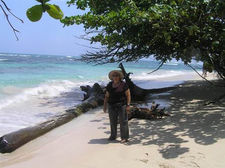
that belong to Panama. This is Puerta Viejo south of Limon on the Atlantic Coast of Costa
Rica and is a popular place for tourist and some people from Europe and NA live here. Note
the black sand.
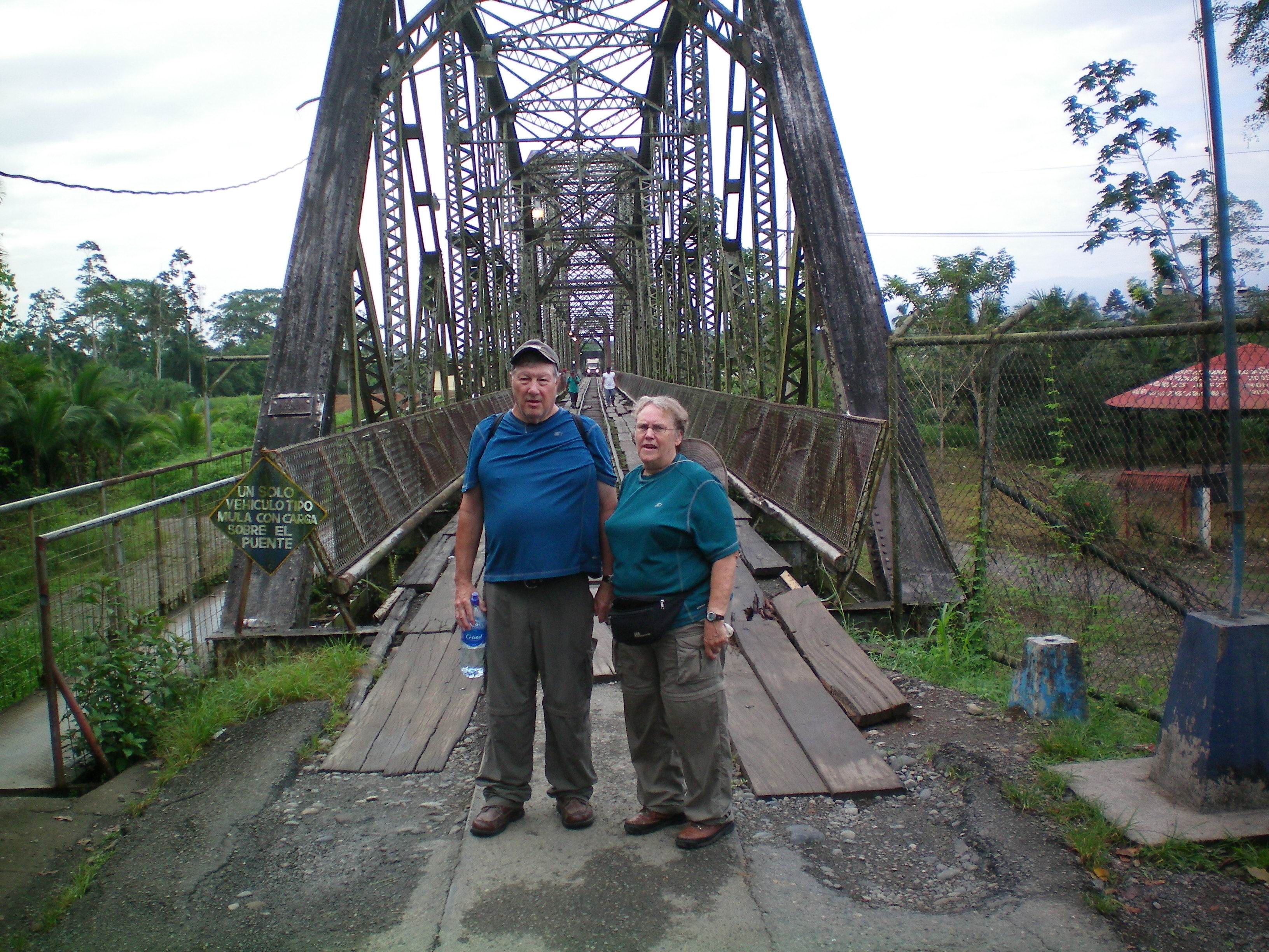
The border crossing between Costa Rica and Panama at Sixaola, Costa Rico. We checked
out of Costa RIco and walked across the bridge and checked into Panama. They have a
"racket" here where they use a rarely inforced regulation that you have to have proof of a
ticket to leave Panama so we had to buy a bus ticket back to San Jose before they would let
us into Panama. We used the crossing farther to the north last year and this was not enforced
and we have been to other countries where it is a regulation but it is not enforced. An air
plane ticket from San Jose will not work but of course an airplane ticket from Panama would.
Going back we will be fine as we have an airplane ticket from San Jose.

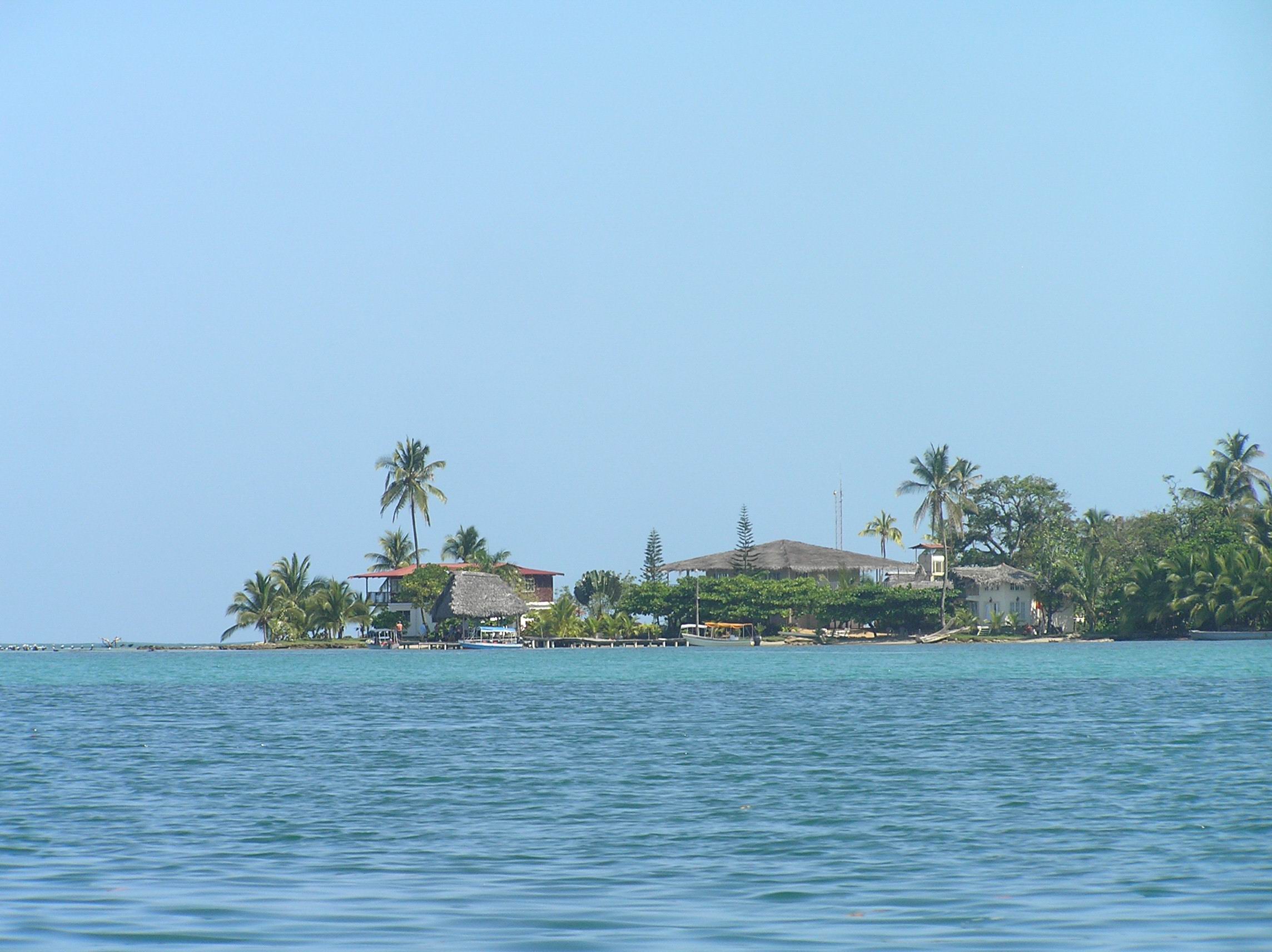
After a taxi ride and boat ride we got to Bocas Town on Colon Is. in Bocas Del Toro. There
are quite a few tourists here but it is a very laid back place and if you like to snorkel, swim
and dive there is a lot to do. This is an unusual eating place in Bocas Town.
Most of the local population is black but speak Spanish and most people speak some English.
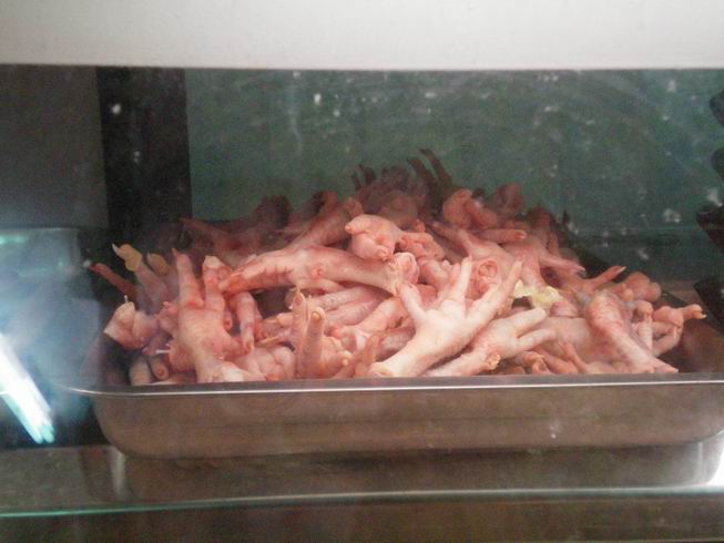
Here are some chicken feet at a local store. There were plenty of othr meat but we thought
this was interesting.
A guest at our table in the restaurant which was on the sea.
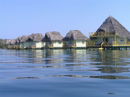
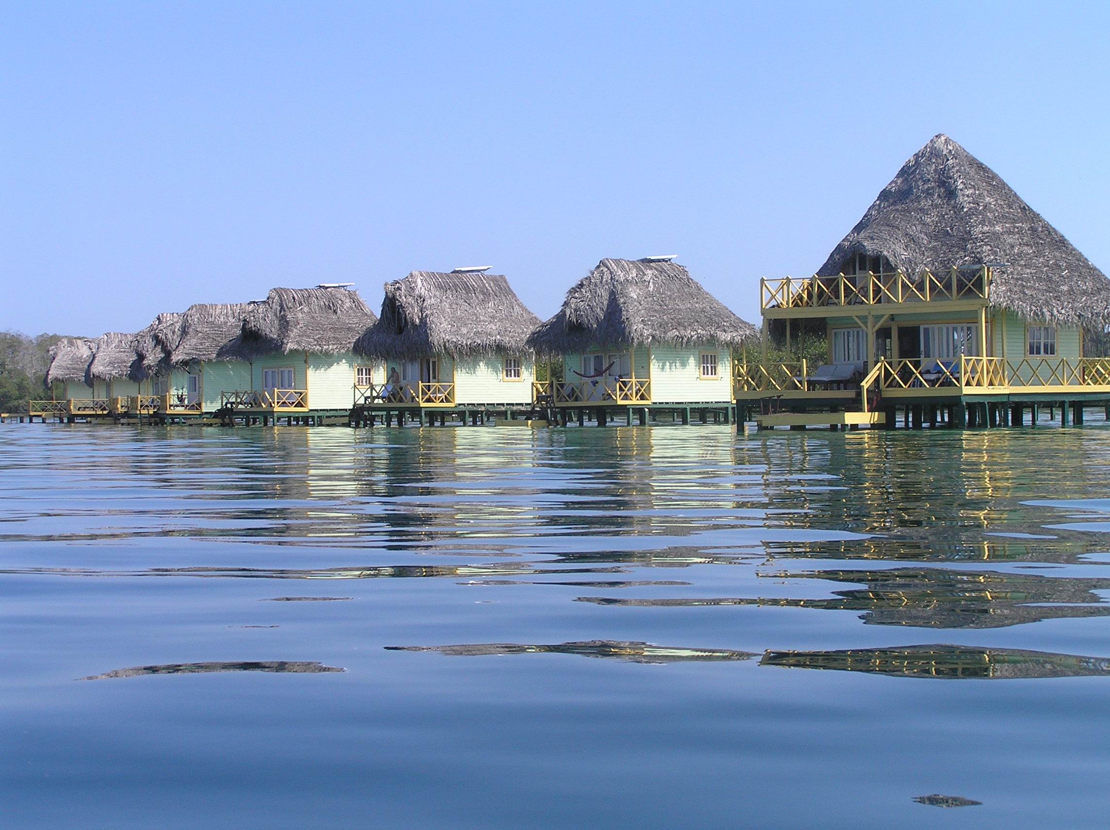
The only 5 Star Hotel in Bocas at $300 a night which includes everything.

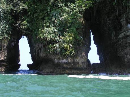
Bocas Del Drago on the north end of Colon Is. It is a nice area and not to far from
Bird Is.
Bird Island which had a bird we had never seen. It was white with a long tail and orange
beak. I did not get the name of it.
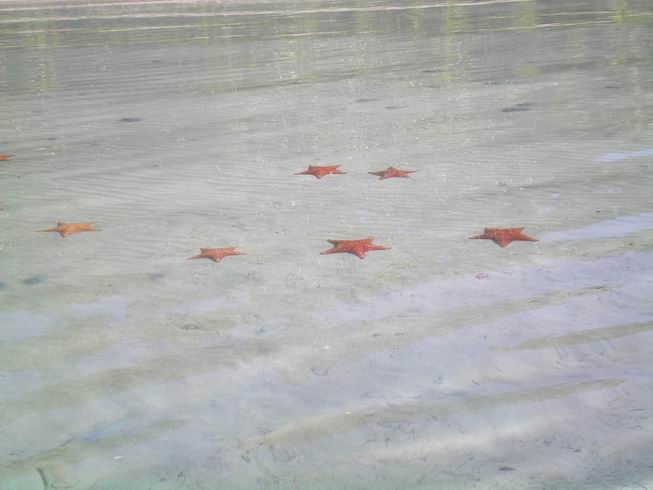
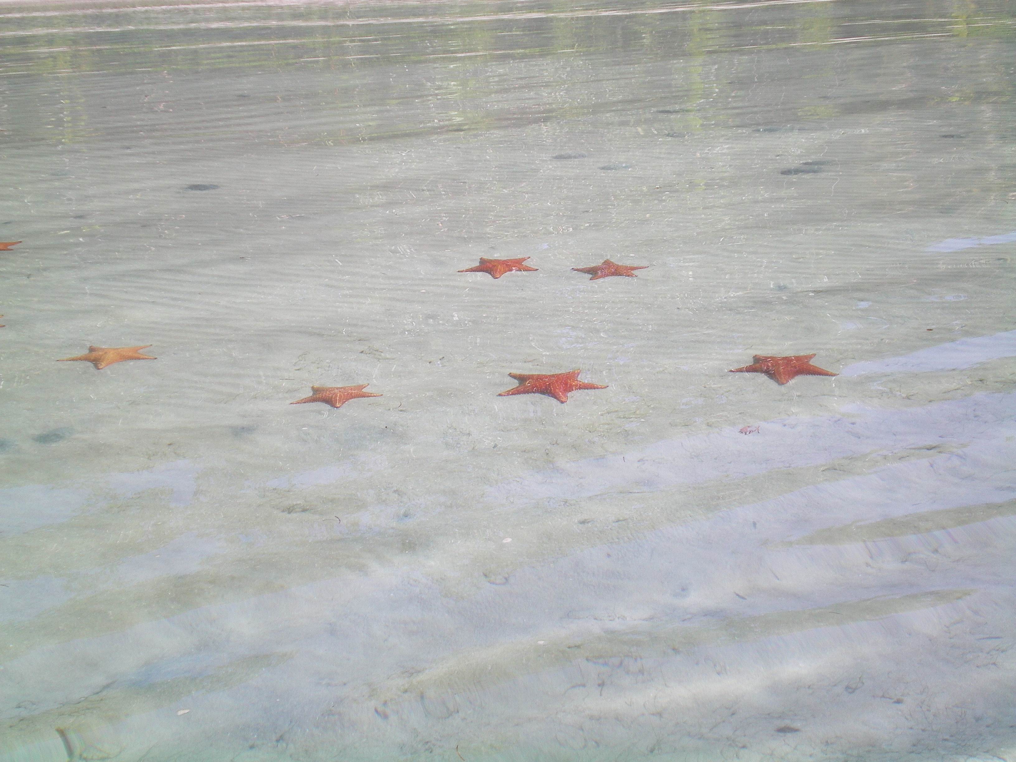
Starfish at Starfish Beach. You can pick them up but only for like 30 seconds and then
you need to put them back as they get to much air in them and they won't stay on the bottom
and they die. If they get stranded on the beach when the tide goes out they will die. If
they get upside down in the water they can turn over themselved.
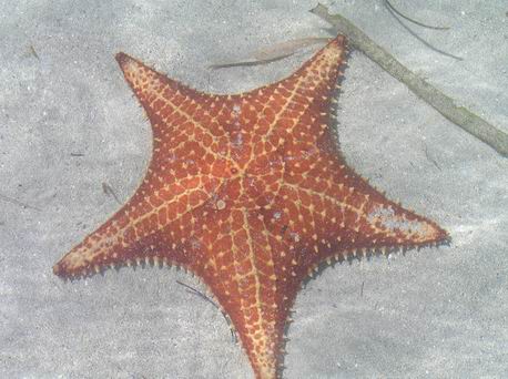
A close up of a Starfish.
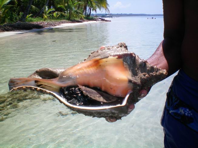
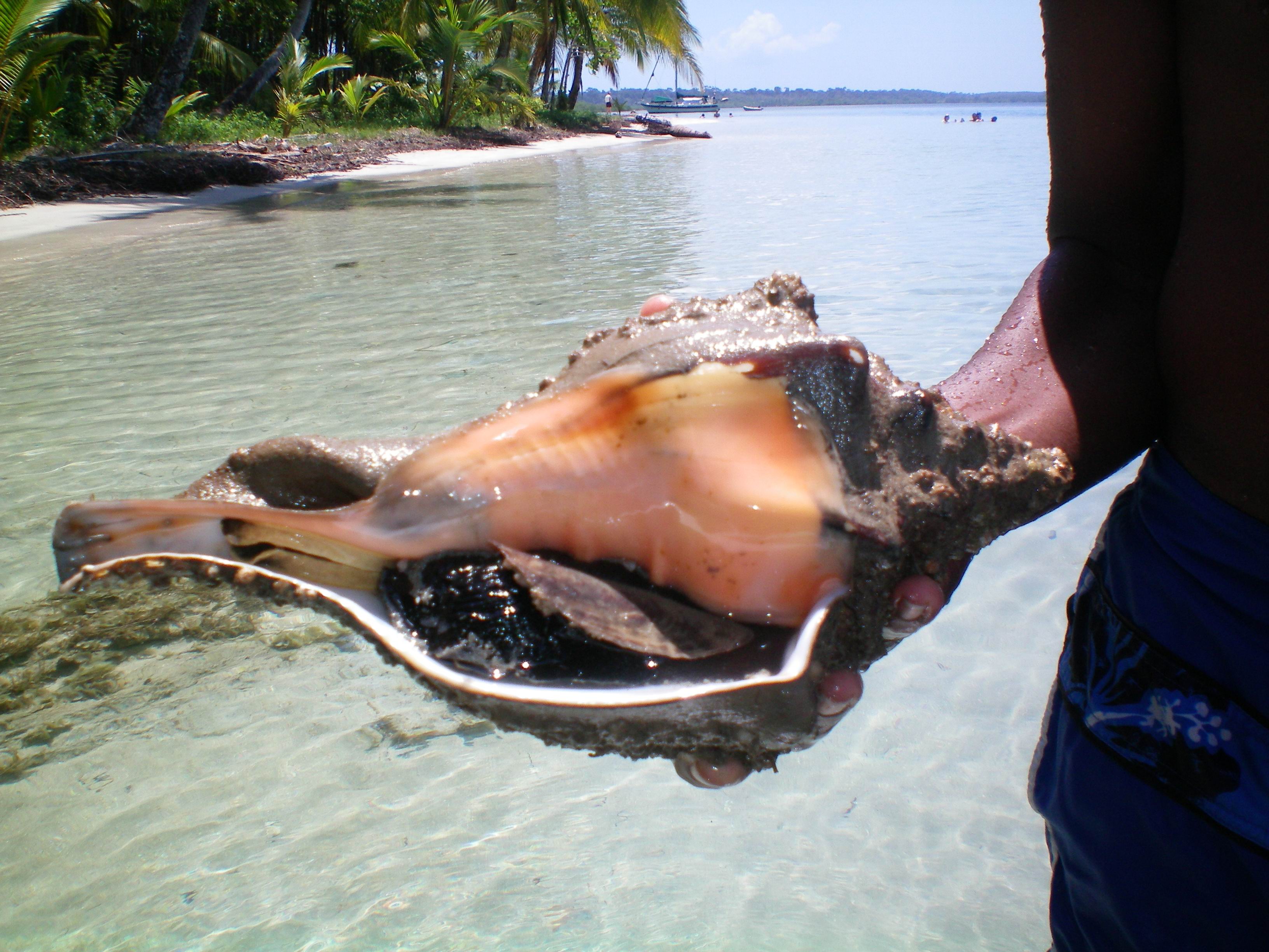
A big shell our guide found while snorkeling. It is alive so you can only take it out
of the water for a couple of minutes. He quickly put it back.
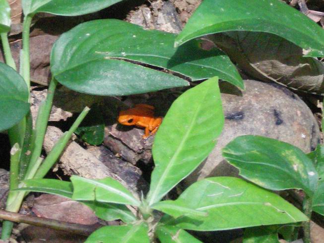
Poison dart frog. Here in Bocas Del Toro there are several colors but they are the same
species. They are typically red but here they are brown, orange, red and blue depending on
this island. The Smithsonian Institute here have studied this but have no idea why this is. They
thought it was diet but could not prove that at all. There is a nice tour of the Smithsonian
facility here which we took.
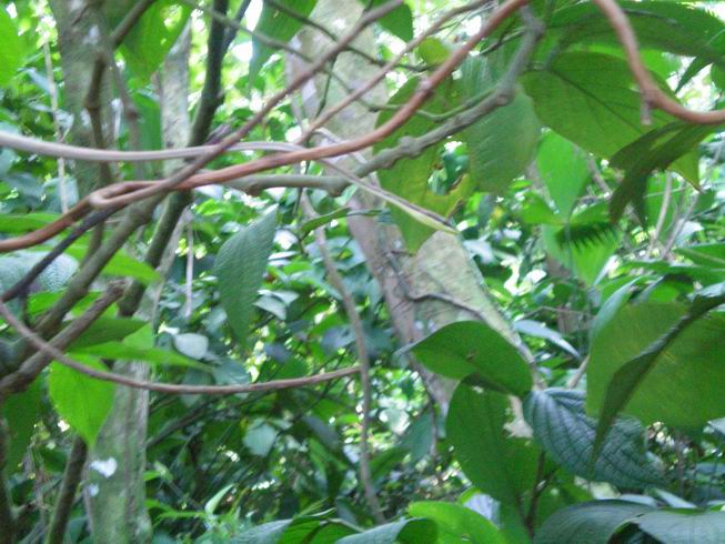
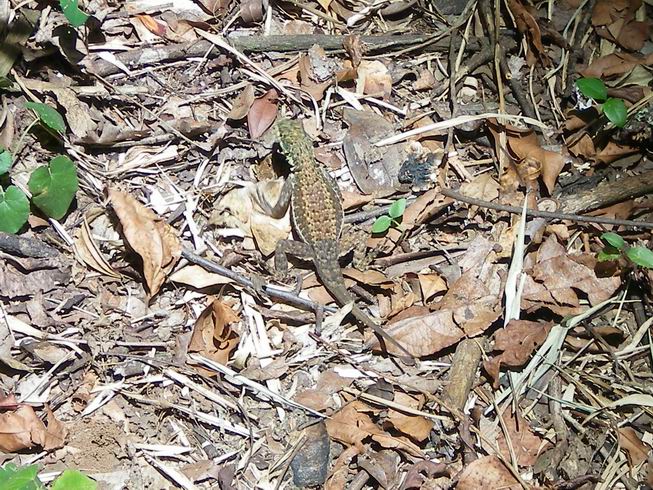
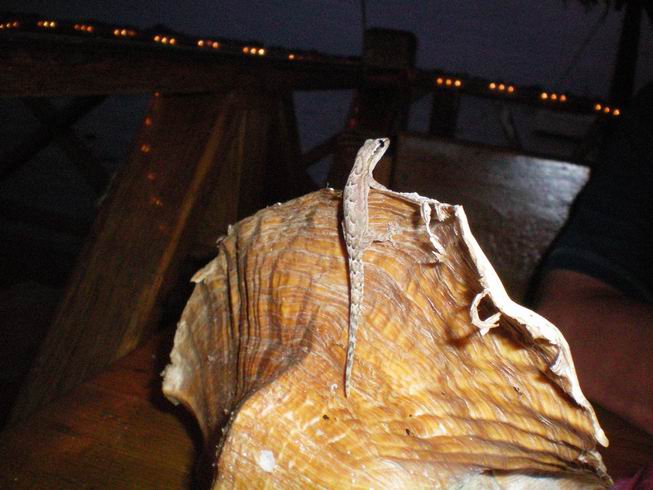
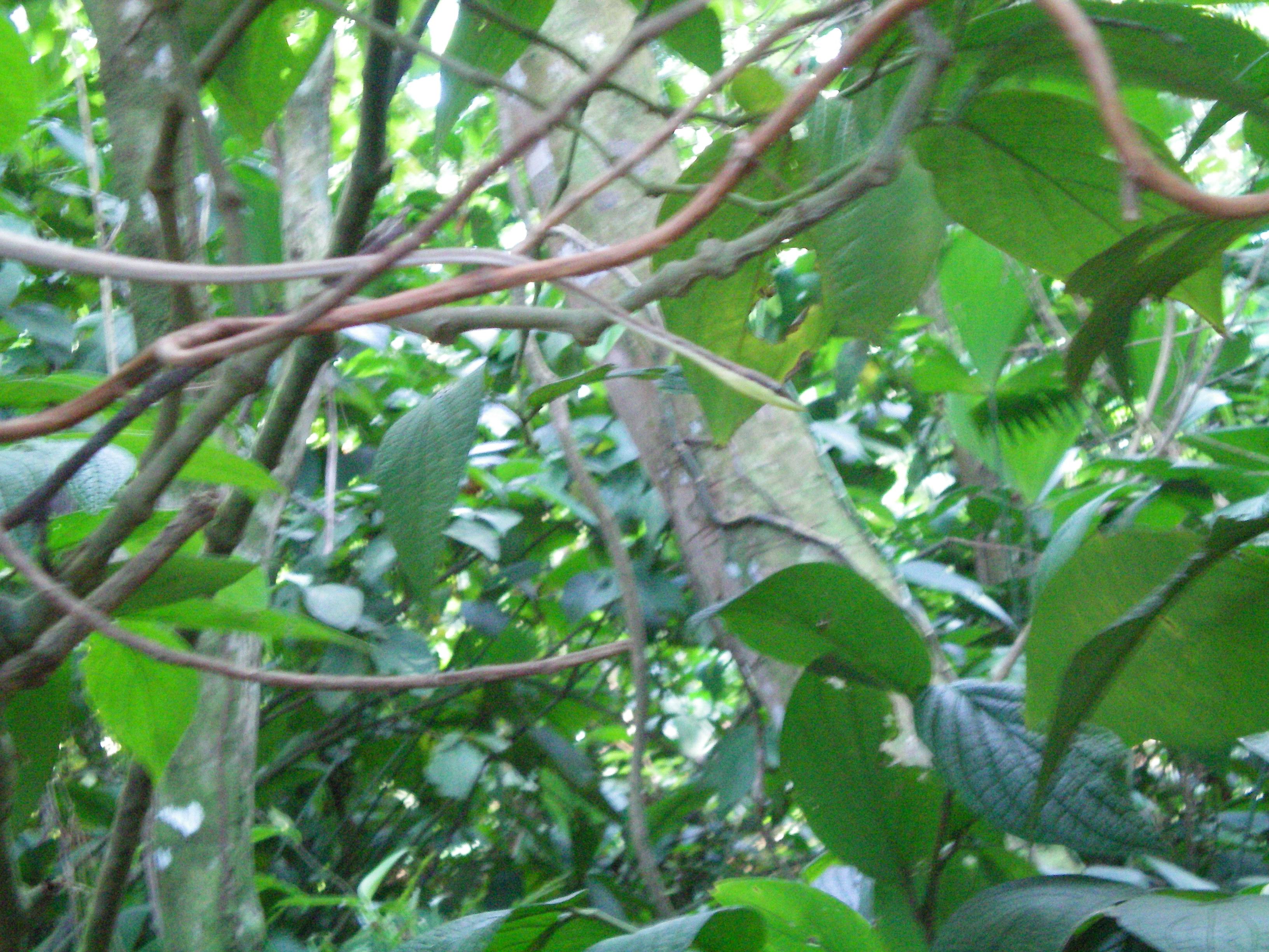
This is a Whip snake an is very hard to see. It is not poisonous.
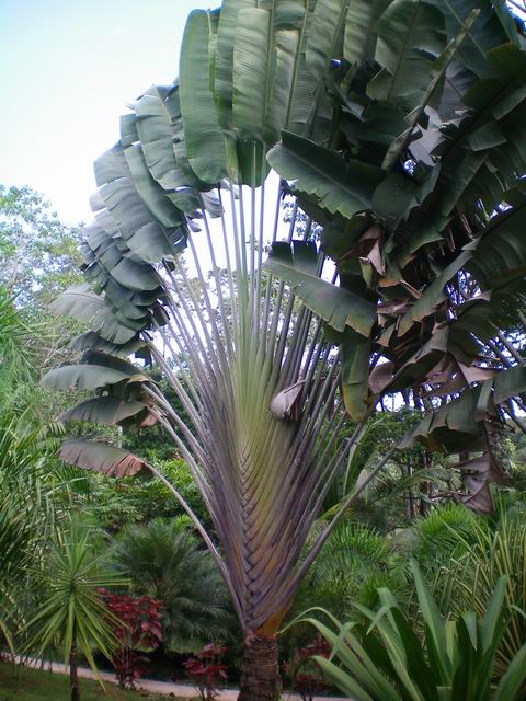
A Travelers Palm at Finca Los Monos which is a local private Botanical Garden and Monkey Farm
run by a couple for England who had traveled the world and decided they really liked it here
and bought about 20 acres in 1998 and Lin was the driving force in creating this out of the
jungle. Do a seach for the at Bacas Del Toro. She has a very interesing web site. The two
hour tour is twice a week for $10.00 We would rate it as a must see if you are at Bocas Del
Toro on Friday or MondaY. This not really a Palm Tree but is in the Banana family.

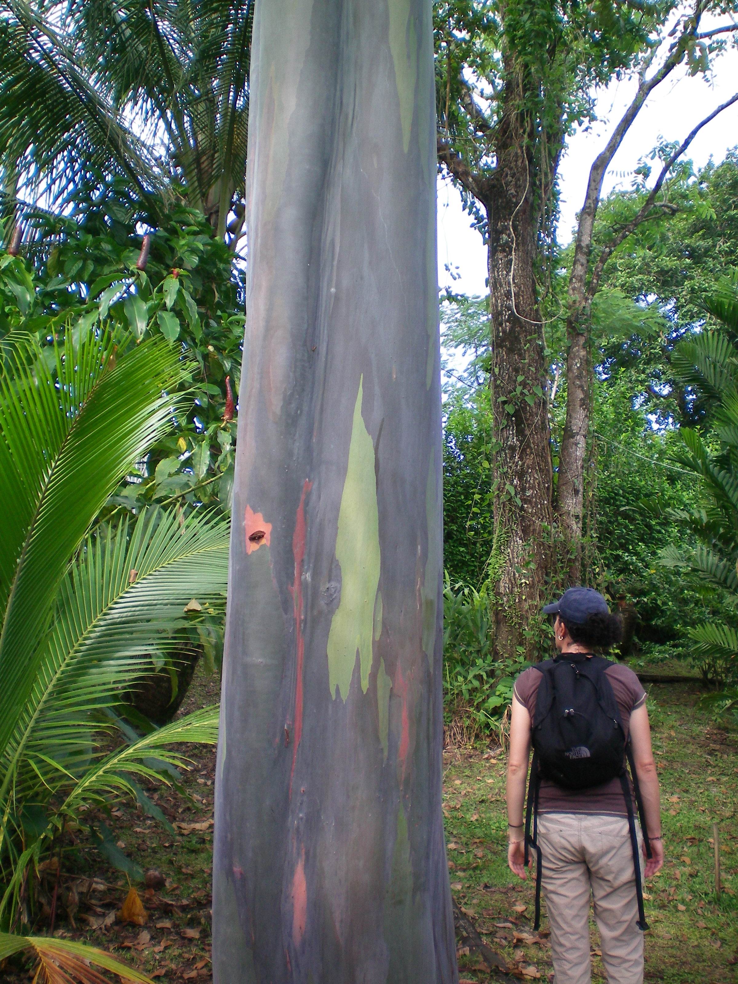
Rainbow Eucalytus tree at Los Monos.
Red Bamboo at Los Monos. Things grow amazingly fast here.
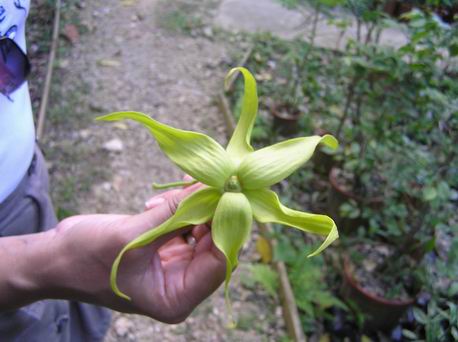
Flower from the Ylang Ylang tree that is used in making perfume such as Chanel # 5.
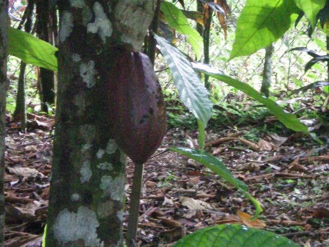
Chocolate Tree, the pod is opened and inside are seeds and they are roasted and from
those chocolate is made.
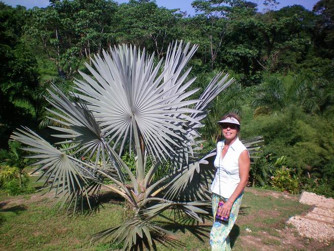
Lin Gillingham of Finca Los Monos by a Bismark Palm from Madagascar.

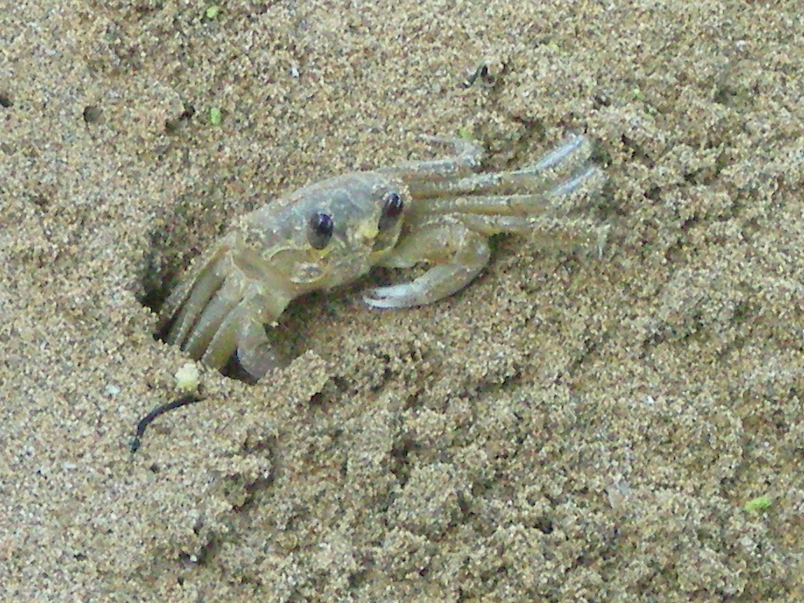
Sand Crab on the beach at Bocas. They can move really fast and dig a hole very fast.
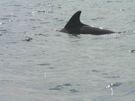
A Dolphin in Dolphin Bay in Bocas Del Toro.
On an island in the Cayos Zapatilla, it is part of a National Park to protect
the coral Reefs here and the beaches.
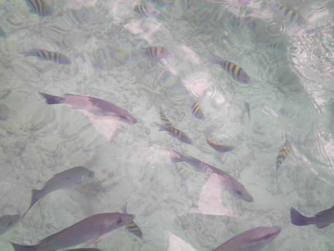
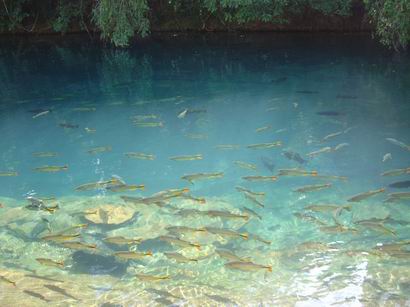
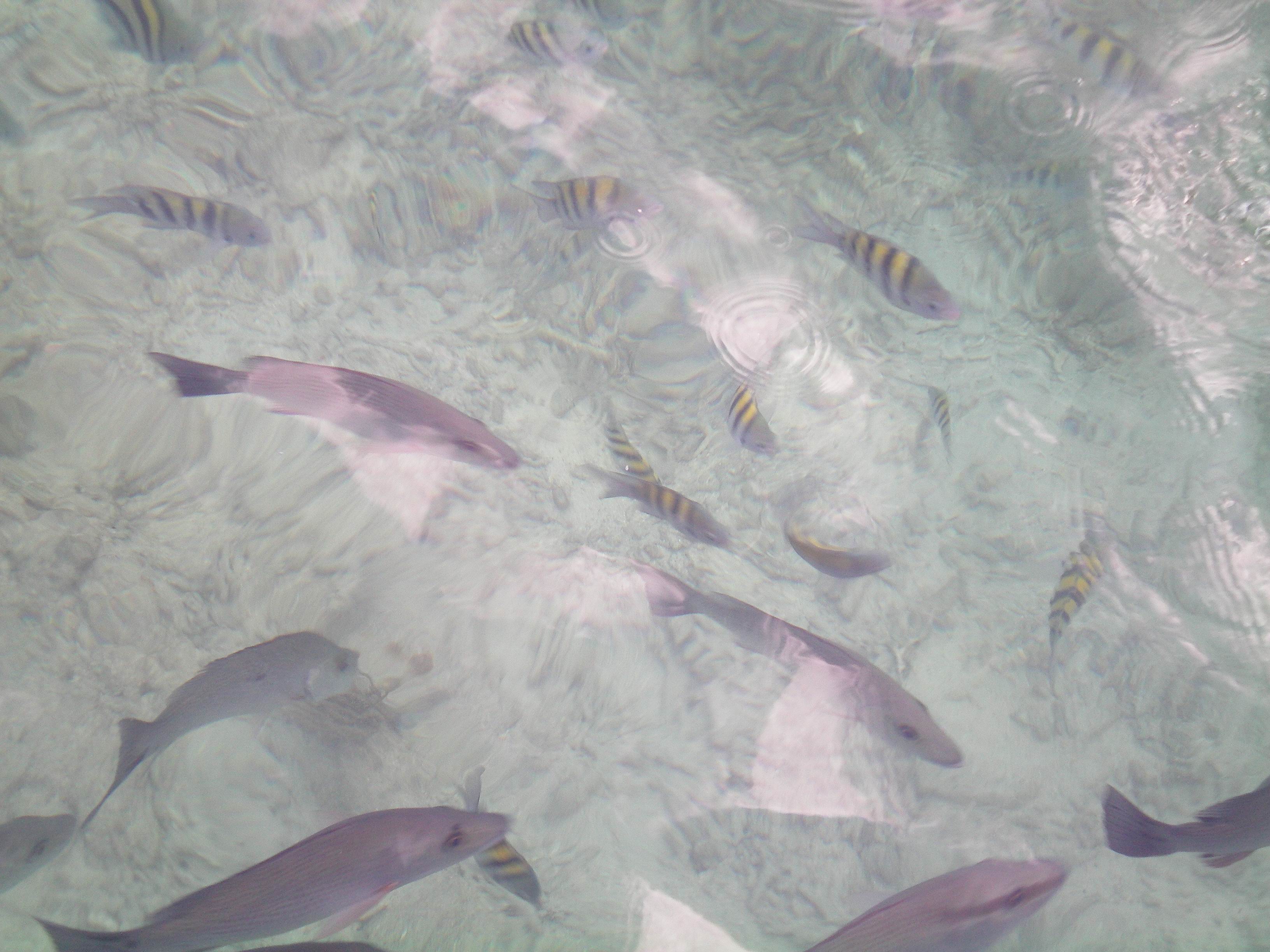
Fish at Crawl Cay Reef. The Coral and fish are nothing like by Belize Barrier Reef, Great Barrier
Reef of of Eastern Australia, Ningaloo Reef Westen Australia and Andro Bahamas Barrier Reef.

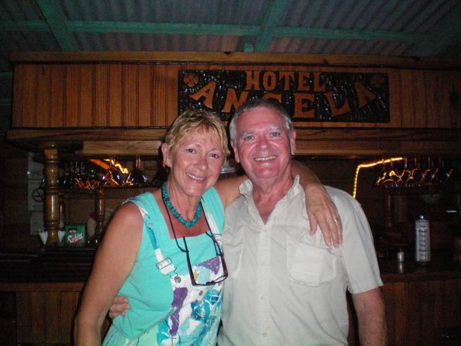
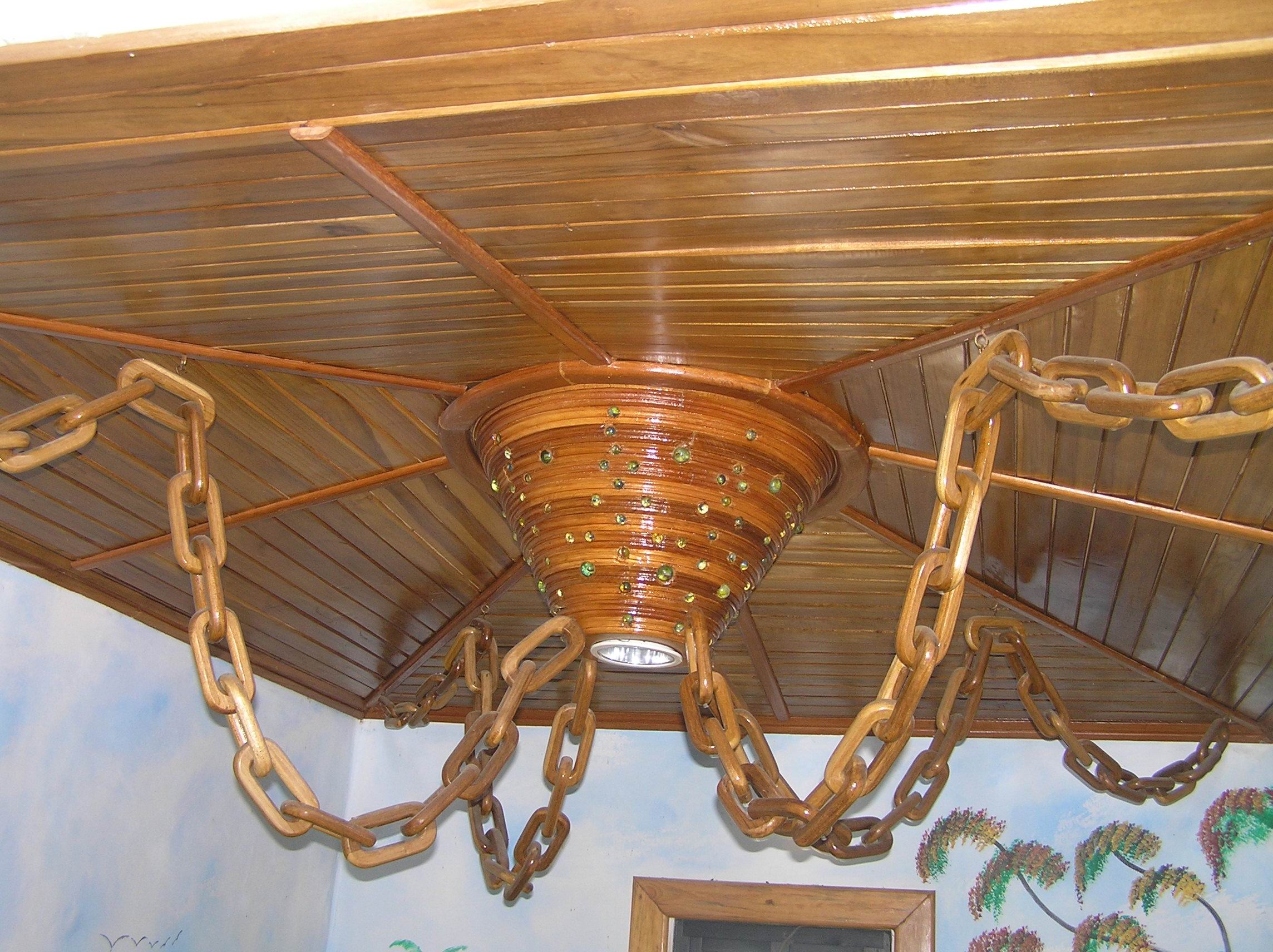
We stayed at the Angela Hotel and this was in the lobby. The wood chains are carved out
of a piece of wood that long. We found out about the Hotel through our friends Louis and Yadi
who live in Boquete Panama and had a tourist business here for a few years. Because the
owner Claudio knows them we got the Pension rate so instead of $70 a night is was $35 a night.
They use USA money here.
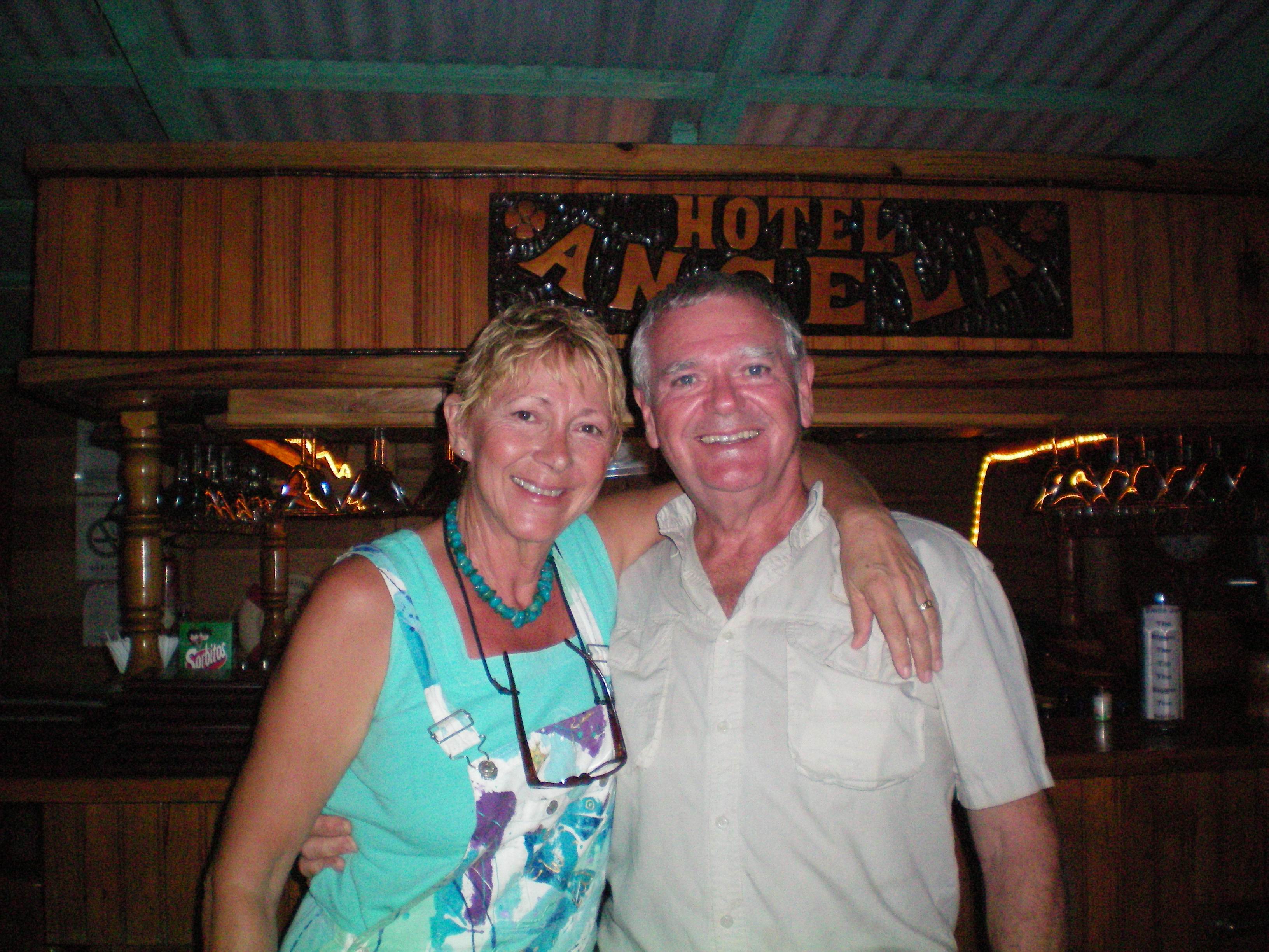
 The hotel Angela has a good restaurant run by Micheal and Babette Garfield who
had run restaurants in California for many years and retired. They sailed there and then all
over the Caribbean and liked Bocas Del Toro and she wanted to do some art work and run a Massage
business and they found a restaurant they could lease and run in conjunction with the hotel and
it has turned into what most consider the best restaurant in Bocas. They are a very nice
people and we had many great visits during our 5 days here. If you go to Bocas be sure and
eat there. It is easy walking distance from downtown and should be on the local tourist map.
The hotel Angela has a good restaurant run by Micheal and Babette Garfield who
had run restaurants in California for many years and retired. They sailed there and then all
over the Caribbean and liked Bocas Del Toro and she wanted to do some art work and run a Massage
business and they found a restaurant they could lease and run in conjunction with the hotel and
it has turned into what most consider the best restaurant in Bocas. They are a very nice
people and we had many great visits during our 5 days here. If you go to Bocas be sure and
eat there. It is easy walking distance from downtown and should be on the local tourist map.
Sunset the last night from the dock at our Hotel Angela in Bocas Del Toro.
This is the wonderful staff at Melrost B&B in San Jose Costa Rica. It is the first place and last place we
stayed on our own during this trip. We were there a total of three times and stayed a total of 4 nights. They
are just great about picking you up at the airport and taking you to the airport, even when you have to leave
at 4:00 am. They will take you anyplace you want to go in San Jose for a reasonable price. On our second stay
there Avianca lost our bag and they patiently waited for an hour while we finally got the claim made with Avianca and
then got the bag from Avianca when it finally showed up. They stored our extra bag for our trip to Bocas Del Toro. They
answered our e-mails promptly. They can all speak good English as well as Spanish of course and Rolando can
speak Portuguese. The office is available for calls or help from early to late. They also got a significant amount of
Chile money changed to Costa Rica money as we could not change the Chile money at the Santiago Airport due to that
cambio being closed due to the temporary nature of the airport from the earthquake. They are fun to visit with, have
some huge rooms with some kitchen stuff and a great breakfast. The are very close to the airport but we found it not
to be that noisy and slept well. You can check it out at www.melrost.com and e-mail them at info@melrost.com
link to To Main Retirement page of Ed and Edith


 Inca site at Pisa in the Sacred Valley. The terraces of course prevented erosion but
they also conserved water. This whole area which is 100 miles or more show remanents of these
terraces.
Inca site at Pisa in the Sacred Valley. The terraces of course prevented erosion but
they also conserved water. This whole area which is 100 miles or more show remanents of these
terraces.


 The hotel Angela has a good restaurant run by Micheal and Babette Garfield who
had run restaurants in California for many years and retired. They sailed there and then all
over the Caribbean and liked Bocas Del Toro and she wanted to do some art work and run a Massage
business and they found a restaurant they could lease and run in conjunction with the hotel and
it has turned into what most consider the best restaurant in Bocas. They are a very nice
people and we had many great visits during our 5 days here. If you go to Bocas be sure and
eat there. It is easy walking distance from downtown and should be on the local tourist map.
The hotel Angela has a good restaurant run by Micheal and Babette Garfield who
had run restaurants in California for many years and retired. They sailed there and then all
over the Caribbean and liked Bocas Del Toro and she wanted to do some art work and run a Massage
business and they found a restaurant they could lease and run in conjunction with the hotel and
it has turned into what most consider the best restaurant in Bocas. They are a very nice
people and we had many great visits during our 5 days here. If you go to Bocas be sure and
eat there. It is easy walking distance from downtown and should be on the local tourist map.

